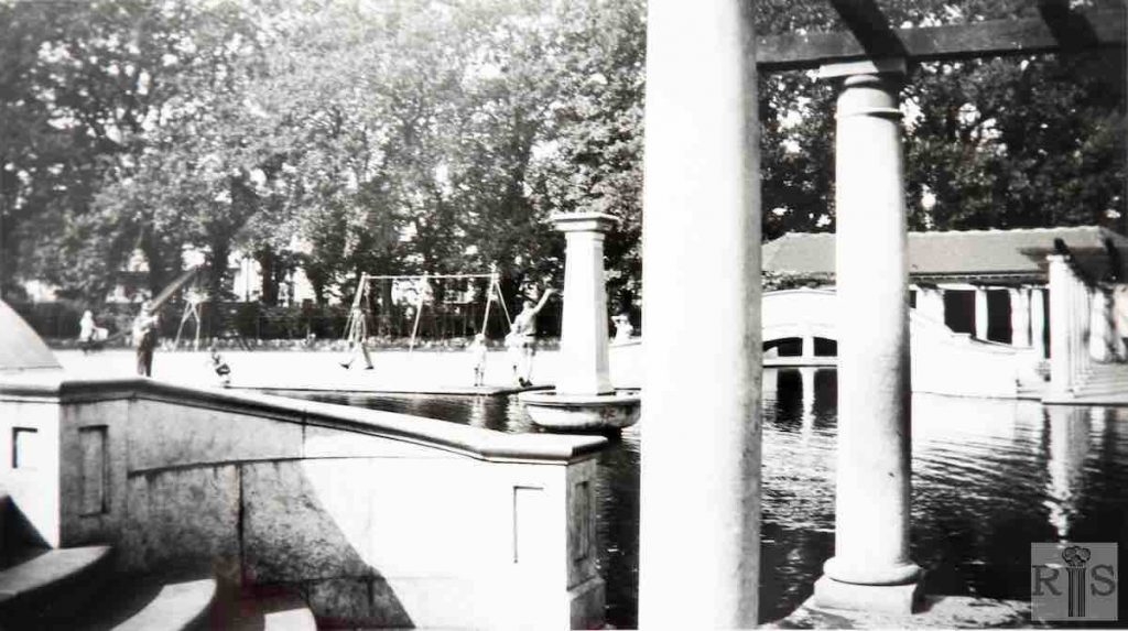
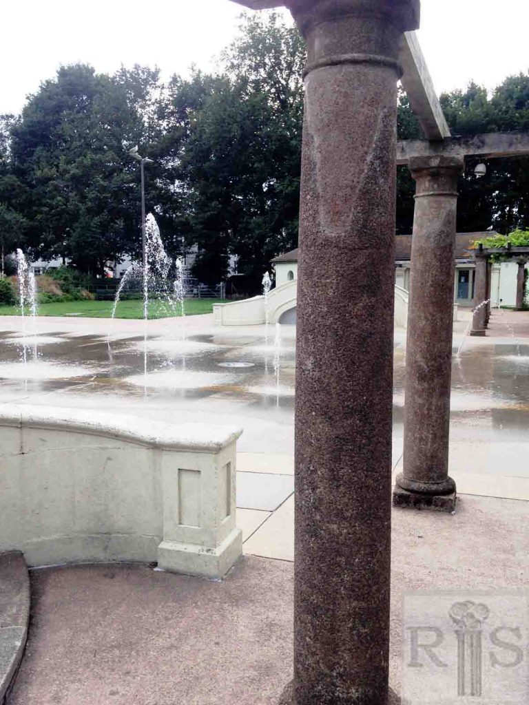
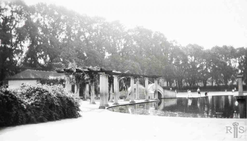
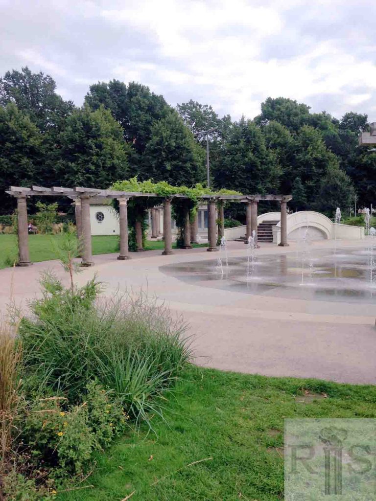
James Gray: Scenes (jgc_20_025 and 026) in the children’s playground at the Level during the fine, warm summer of 1933. The playground had been opened four years earlier, in 1929. jgc_20_025
2018: This view is very similar to the original photograph taken. The main change is that the original fountain and pond have now been replaced by a new water feature with smaller water jets. This is still a children’s playground which was recently renovated and improved. The pillars, ornamental bridges and small building in the background appear to be the same. (Photographer: Eleanor Price)
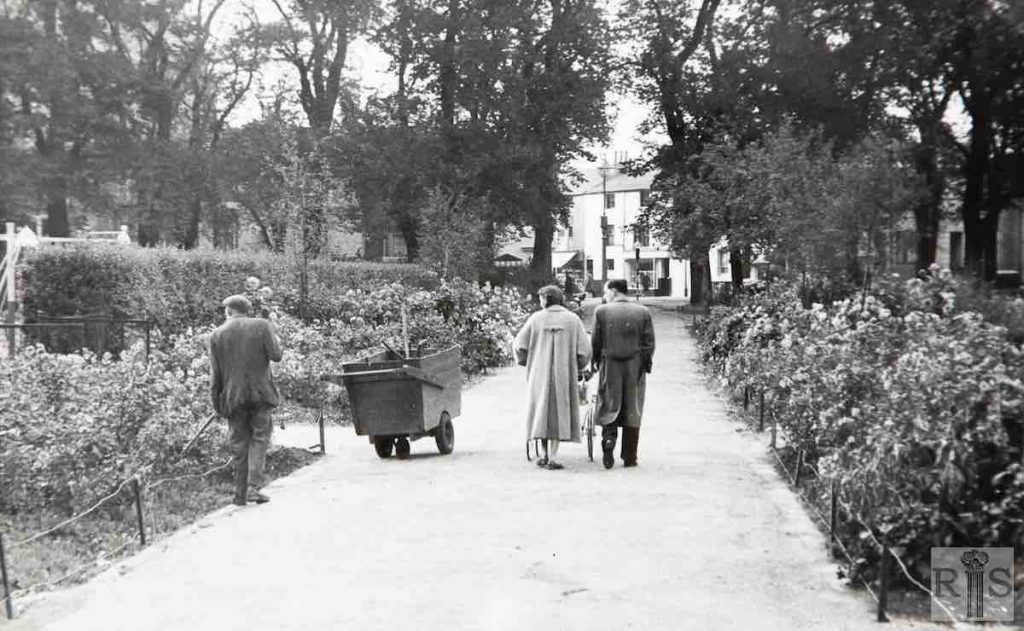
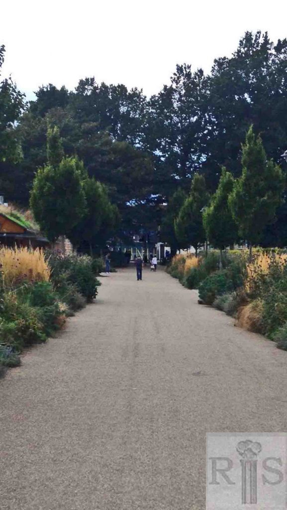
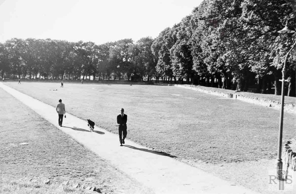
James Gray: At the period mentioned above both sides of this path consisted merely of untidy stretches of grass. After the removal of the market, Brighton Corporation decided to carry out a big scheme of improvement and to construct a children’s playground south of this path. Although this work was carried out in 1929, the scene had not changed when this photograph was taken in 1958. jgc_20_028
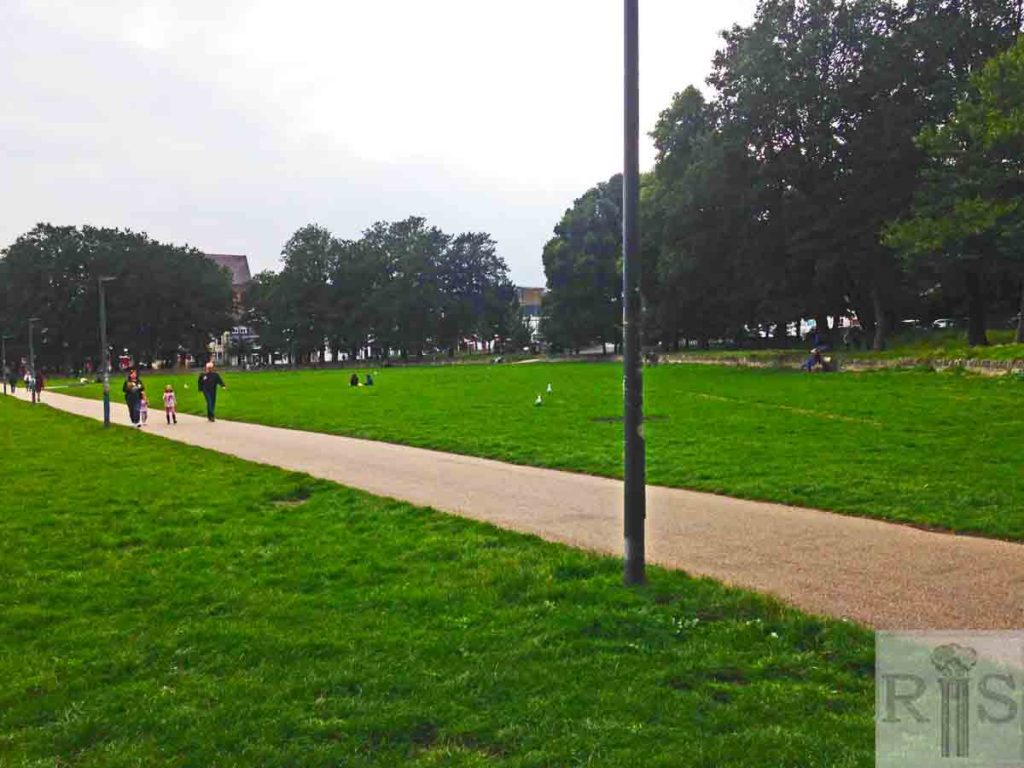
2018: This path going through the centre of the Level is very much the same as in the original photograph. Behind the flower beds on the left there is now a large cafe and public toilets. (Photographer: Eleanor Price)
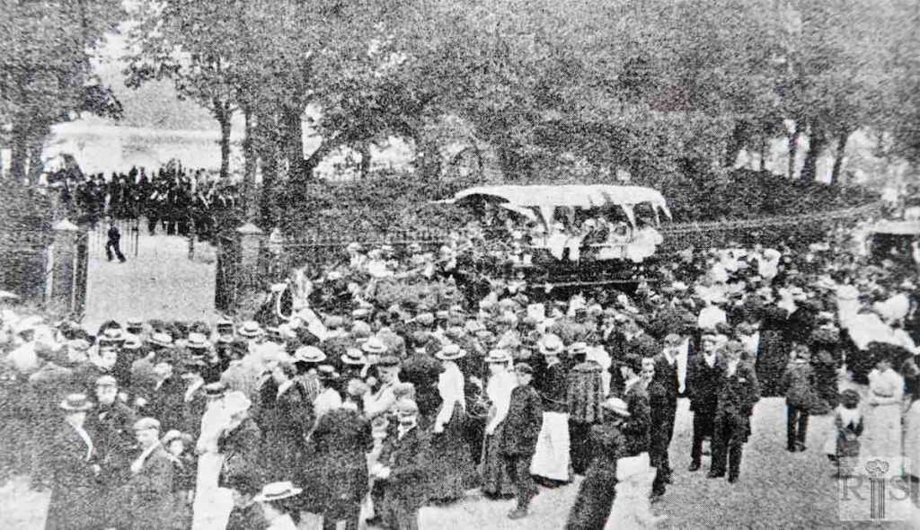
James Gray: The south end of the Level, 8 August 1902. The occasion was the celebrations for Edward VII coronation and disabled children were waiting in the brake to be conveyed to Preston Park. The Level was then enclosed by railings and when these were removed in 1923 the gates and posts seen here were taken down and re-erected at the entrance to Roedale Nurseries.
James Gray: Two photographs [see also jgc_20_038] to remind us of the enormity of our loss resulting from the devastating storm of October 1987. The winter scene in January 1958. Looking southwards from Union Road to St Peter’s Church. Was there really so little traffic on a main road 30 odd years ago? jgc_20_035
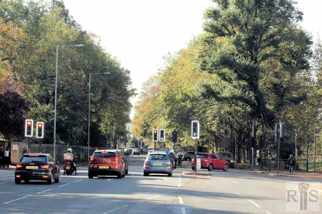
2023: Trolleybuses were withdrawn from the No 48 route (Old Steine to Preston Barracks) in March 1959, in favour of a fleet of new Leyland PD2 buses. The turnings into Hanover Crescent (on the left) and Union Road (on the right) can still be seen in the 2023 photo, with St Peter’s Church in the middle distance. Traffic lights now control this busy junction. (Photographer: Alan Hobden)
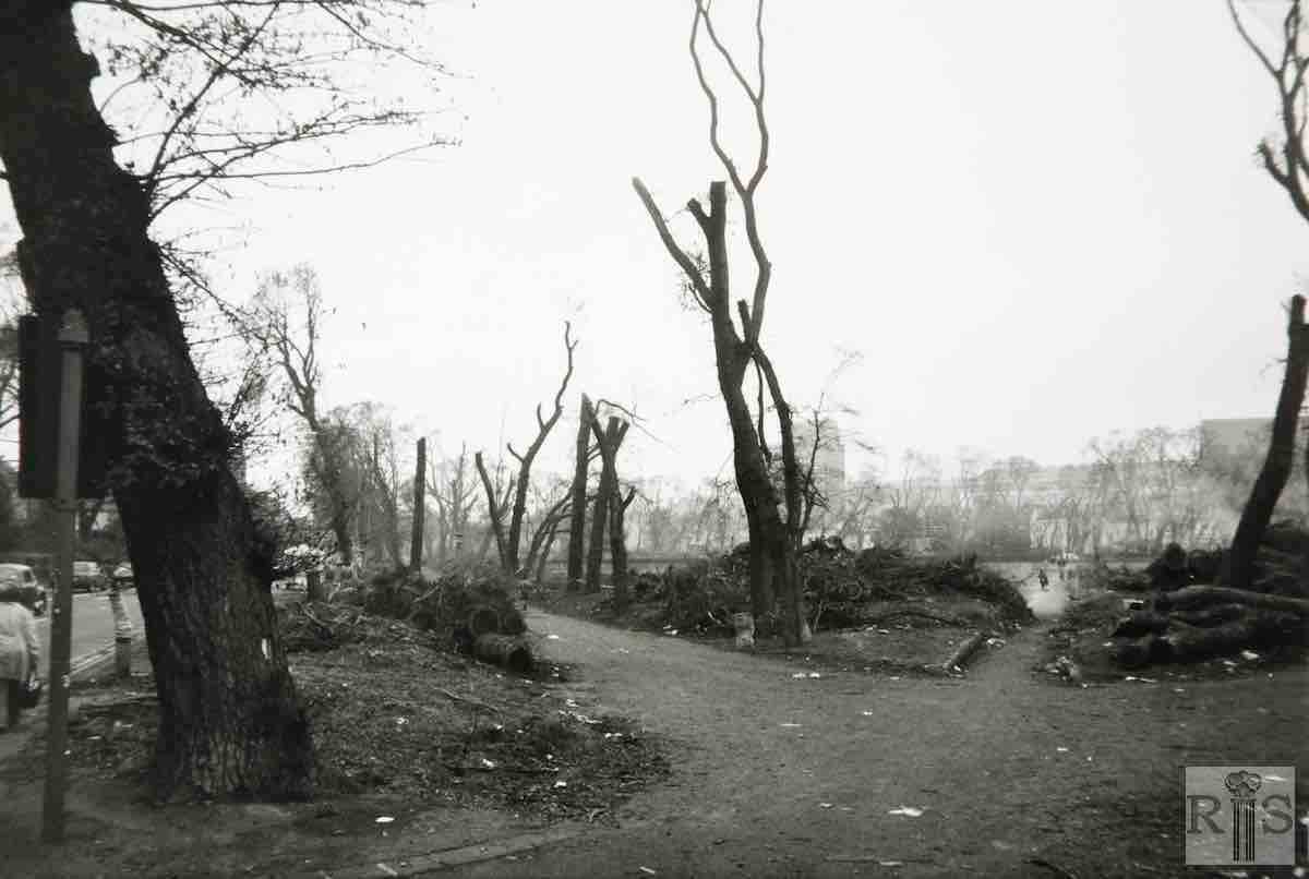
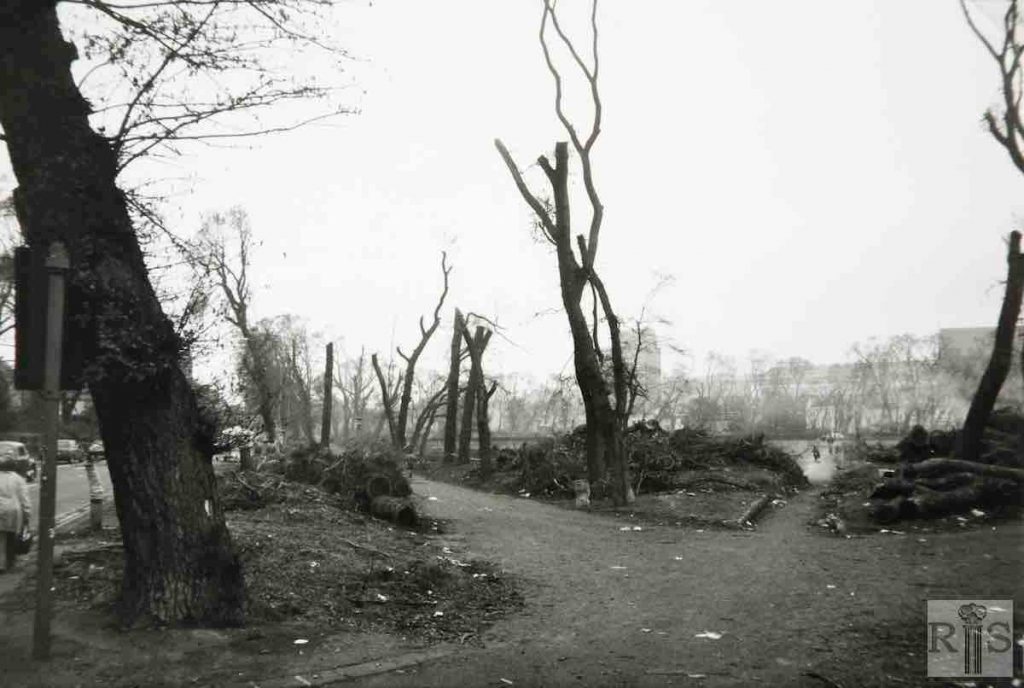
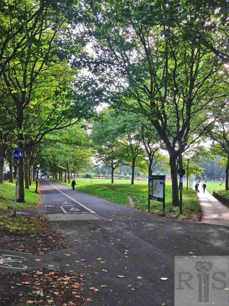
James Gray: These photographs give some indication of the extent of the damage caused by the dreadful hurricane, which hit Brighton during the night of 16/17 October 1987. By the time of the photographs, 1 November 1987, most of the debris had been removed but the magnificent trees, which had flanked the Level, had been decimated. Looking south, with busy Lewes Road at the left. jgc_20_038
2018: The trees that were damaged in the 1987 storm have grown back well. No more significant changes. (Photographer: Eleanor Price)
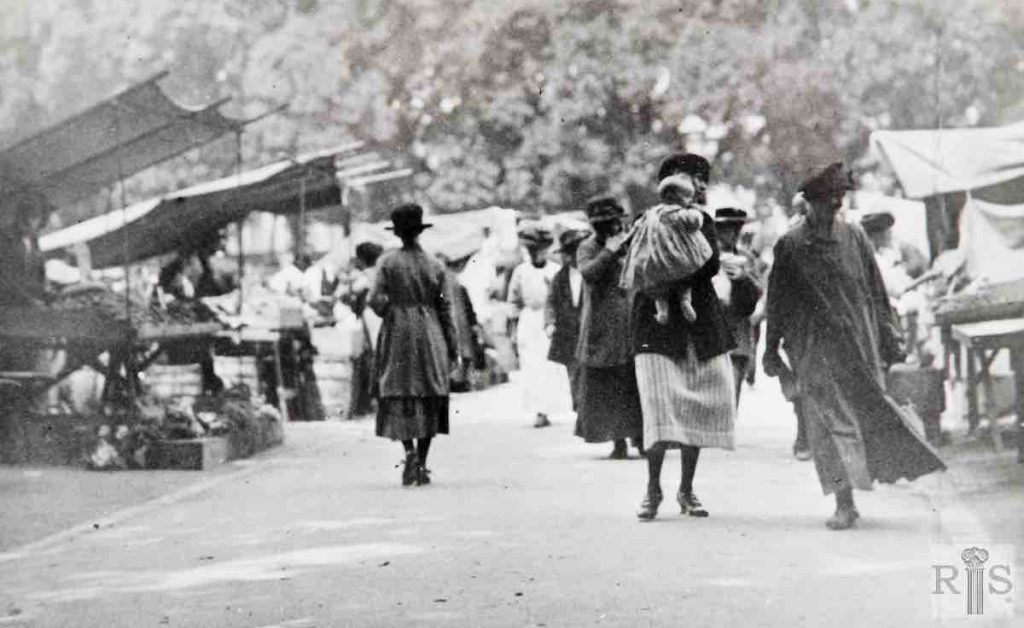
James Gray: Market stalls on either side of the central path across the Level, in 1920. The Open Market started in Oxford Street, but owing to complaints by the residents in that street, it was moved to the Level. Here it remained until 1926 when it moved to its present location, on the one-time gardens of Marshalls Row. (See Marshalls Row photographs on other pages). jgc_20_027
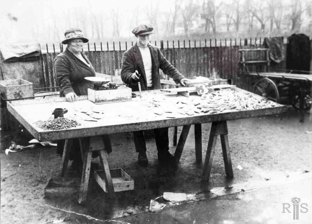
James Gray: Market on the Level, about 1922. The view is northwards with the houses of Hanover Crescent on the right. jgc_20_029
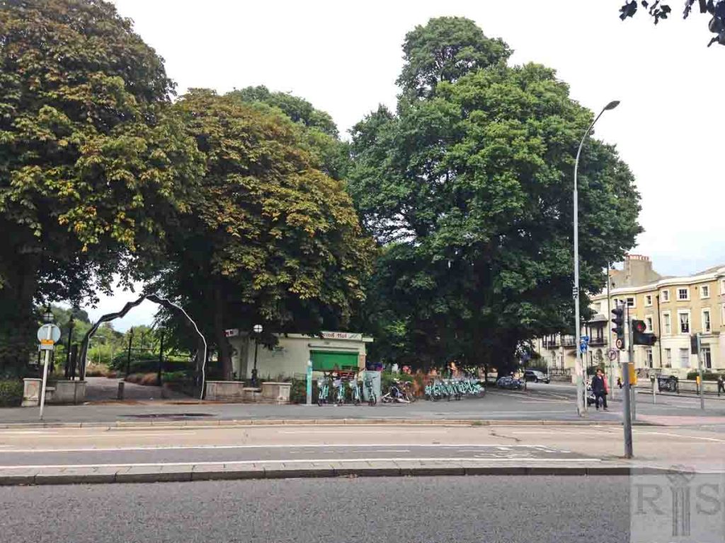
2019: The market stalls (jgc_20_027) have now gone in 2019, but The Level continues to be a popular centre of the community.
James Gray: Digging trenches on the Level on that fateful Saturday, 2 September 1939, the day before Britain declared War on Germany, and the Second World War began. jgc_20_031
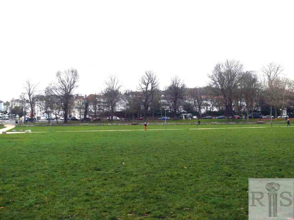
2019: Standing on the site of the trenches in 2019, looking towards the south-west corner of The Level.
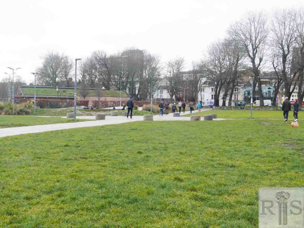
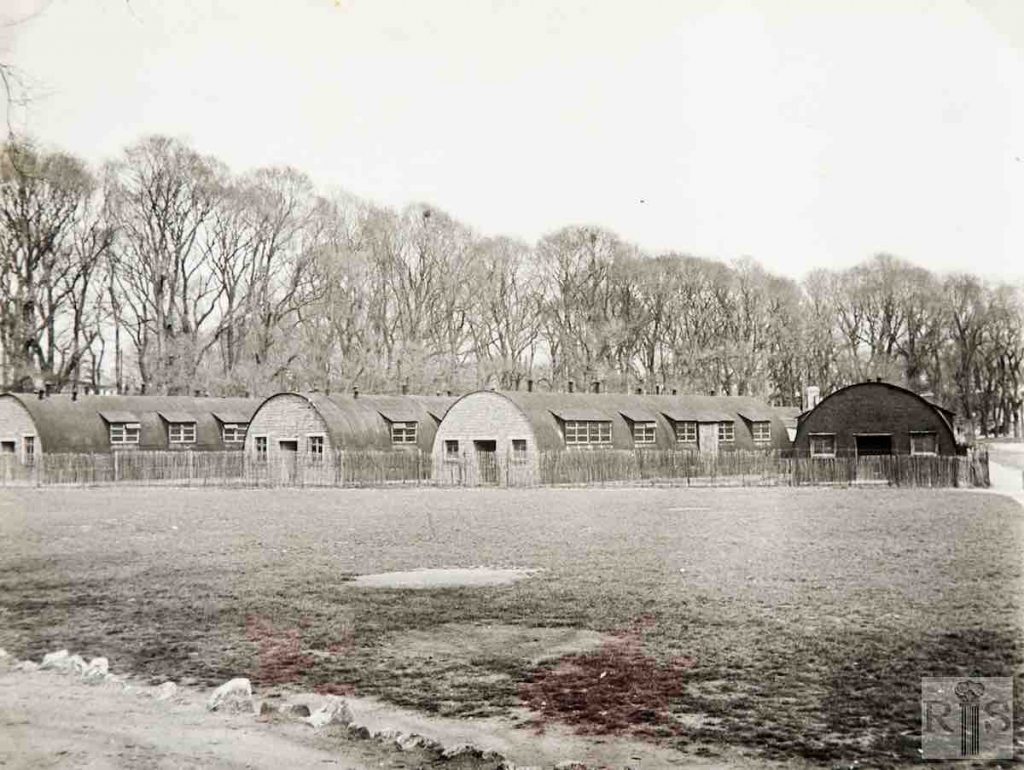
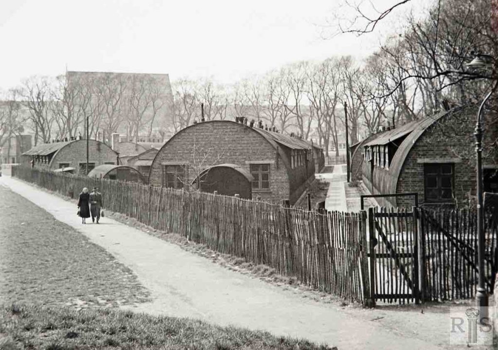
James Gray: Although in 1873, the Level was declared a public open space for the use of Brightonians for all time, it had to submit to a temporary encroachment during the 1939-45 War. This colony of Nissen Huts was erected early in the War for the R.E. Records Staff, who were here for about 15 years. These photographs were taken in March 1955 and the buildings were removed later that year. jgc_20_032
James Gray: See caption for jgc_20_032 above. jgc_20_034
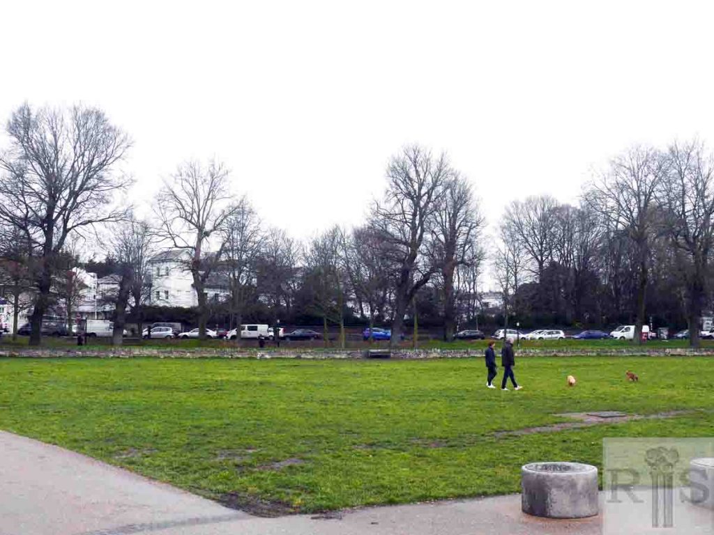
2019: Another view looking west across the north-west quadrant of The Level to where the Nissen huts used to be situated before their removal late in 1955. Note the looming structure of St Bartholomew’s Church in the background. (Photographer: Jane Jordan)
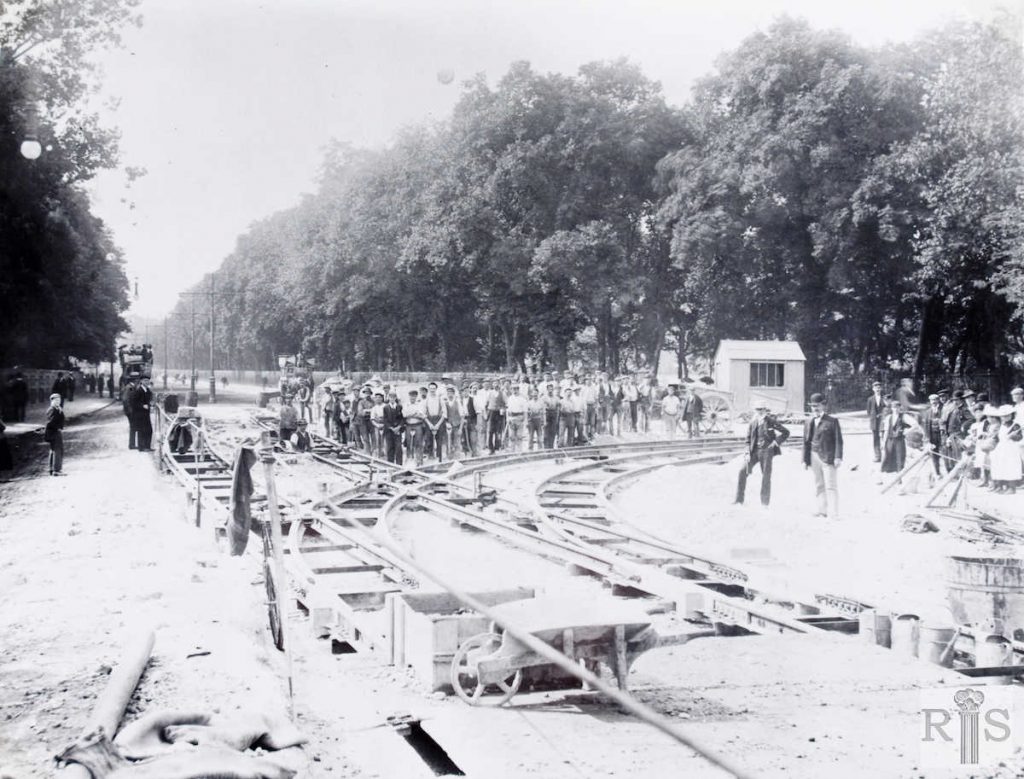
James Gray: Another photograph [see also jgc_28_001, 010 and 020 on the Lewes Road (1) page] of the progress of the work of rail laying in the summer of 1901, prior to the introduction of the tramway service in the following November. As can be seen this was at the junction of Lewes Road and Union Road, showing The Level still enclosed within railings. Note the large number of men engaged in this work. jgc_28_003
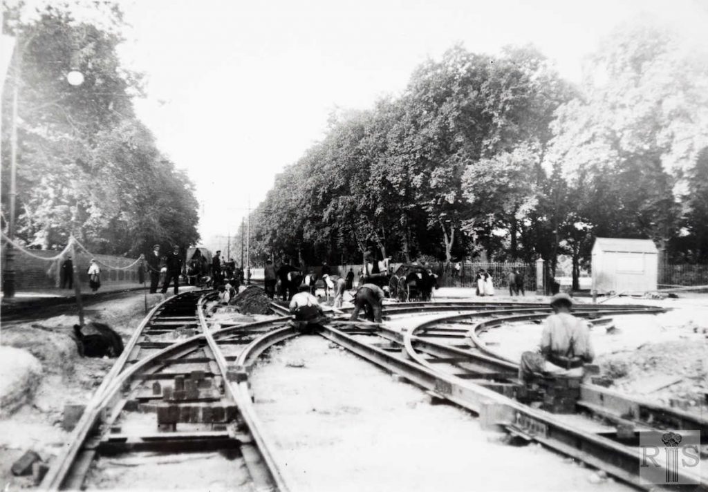
James Gray: The junction of Lewes Road and Union Road, in 1901, when the tram rails were being laid. Note the railings around The Level, which were installed in 1877 and not removed until 1921. jgc_28_009
