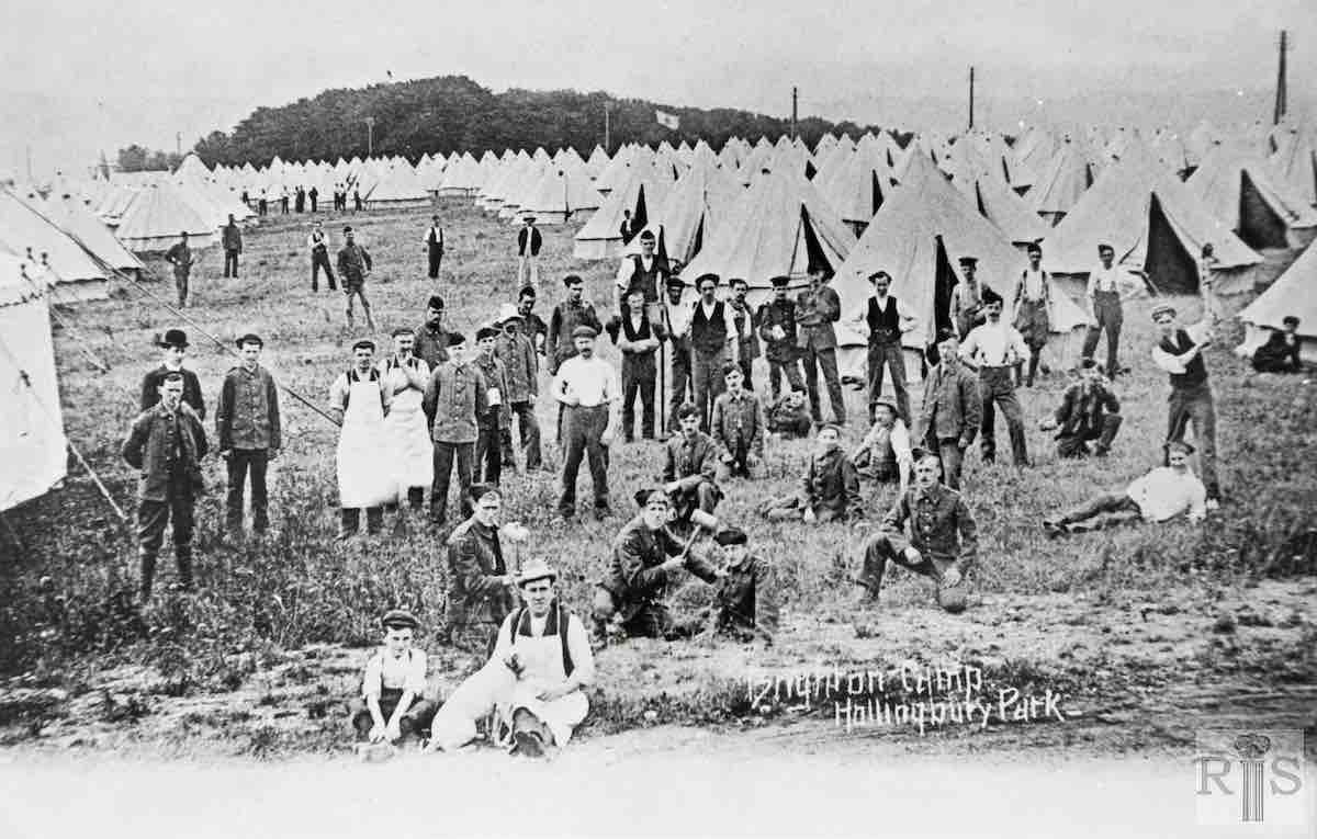
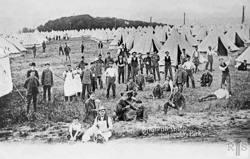
James Gray: The Territorial Army Camp at Hollingbury Park, adjoining Ditchling Road, period pre-1914. In the background, the entrance to Hollingbury Court. jgc_20_140
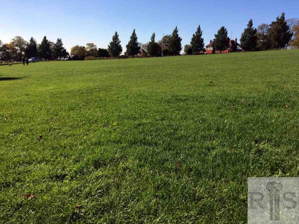
2018: The copse (south of Surrenden Road) in the background was part of the Hollingbury Court Estate. The wooded copse is no longer there, Hollingbury Court was sold for development in the 1960s and the properties seen here now are part of the new housing that replaced. The site of the copse now has a residential cul-de-sac named after it. (Photographer: Andrew Renaut)
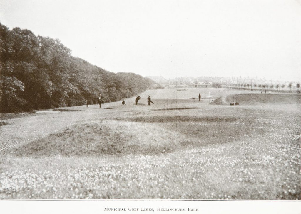
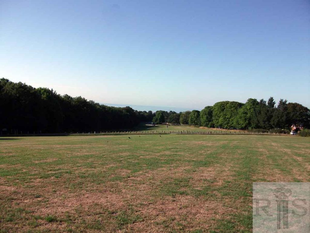
James Gray: An area of 180 acres was bought by Brighton Corporation in 1900 and soon afterwards a nine hole golf course was laid out. As can be seen in the photograph above, of 1914, this was in part on land adjoining Ditchling Road which was levelled and used for football pitches after the 1914-18 War. jgc_20_163
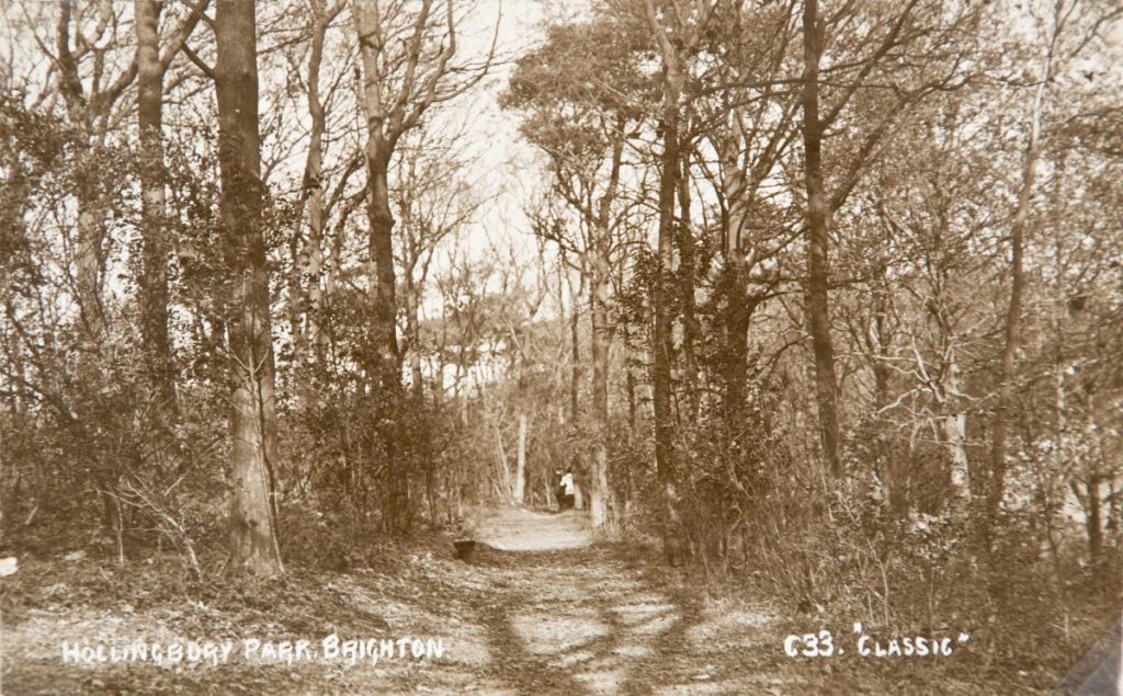
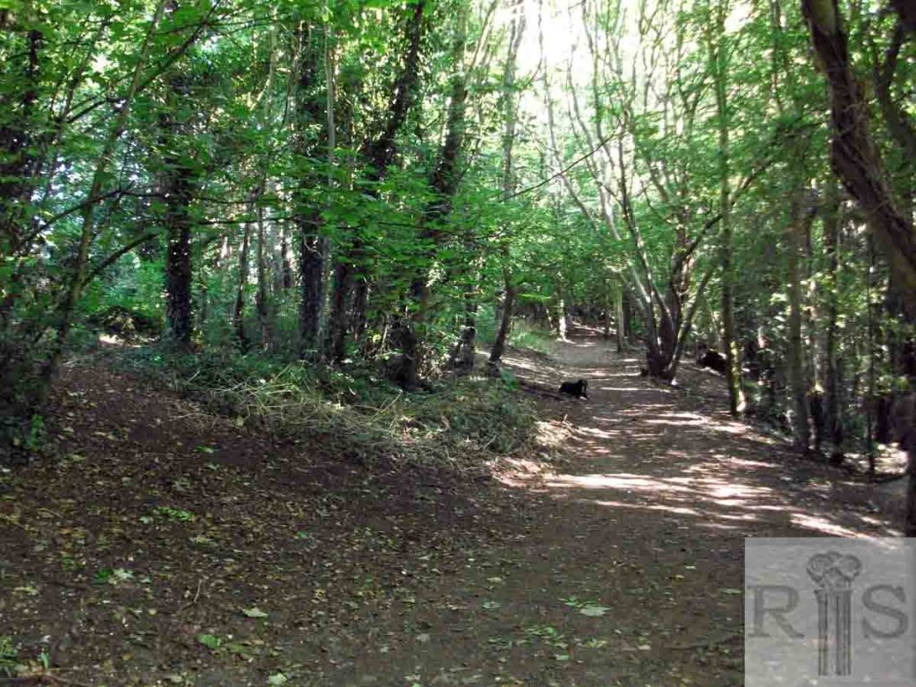
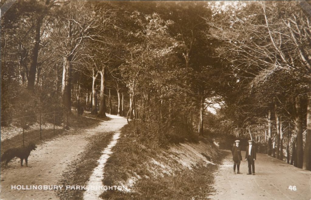
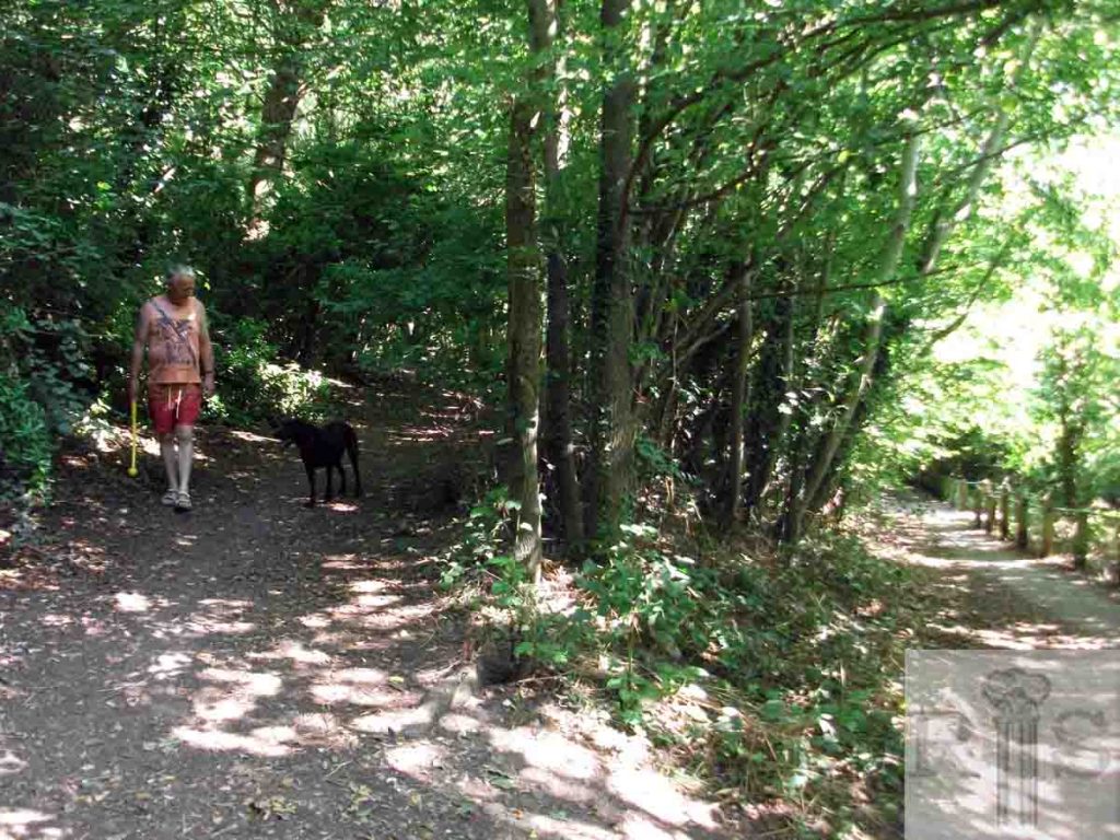
James Gray: These pathways can be easily identified today, 40 years later, though many of the trees have gone. jgc_20_164
2018: Despite the damage from the 1987 hurricane, the woods continue to thrive and have a very active volunteer group who manage and maintain them on a regular basis. (Photographer: Jane Jordan)
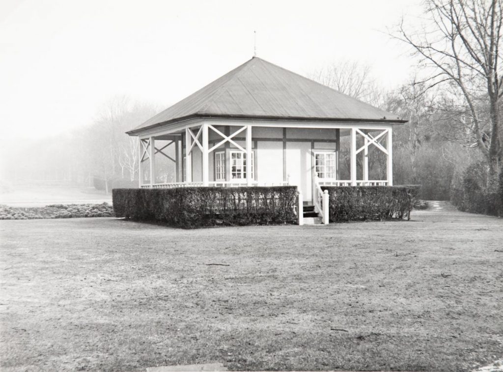
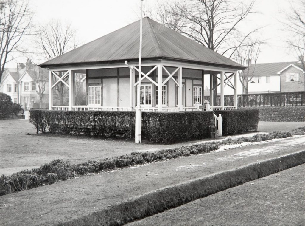
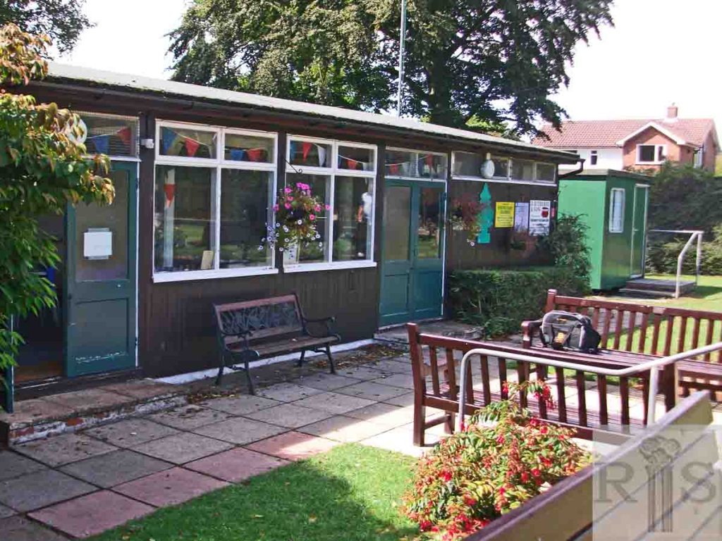
James Gray: Two photographs [jgc_20_177 and 178] of the original pavilion which was an old bandstand built prior to 1914. With no electric light or toilet and a leaky roof it was quite inadequate for present day use. It was removed in 1971 and replaced by a more commodious building. Date of photographs 15 February 1970. This view looks straight up towards the Golf Course. jgc_20_177
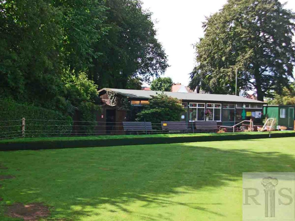
2018: Due to restricted visibility and to enable a full image of the current bowls pavilion, the photo has been taking looking south instead of the north view in the original image. (Photographer: Jane Jordan)
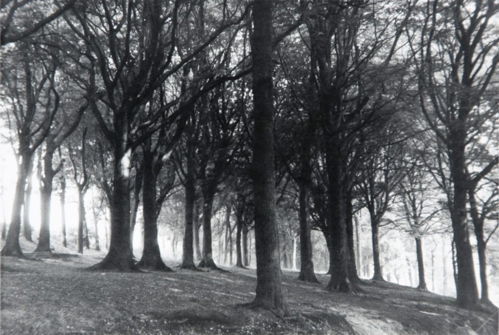
James Gray: Hollingbury Woods looking down to Lower Roedale, about 1972. jgc_20_167
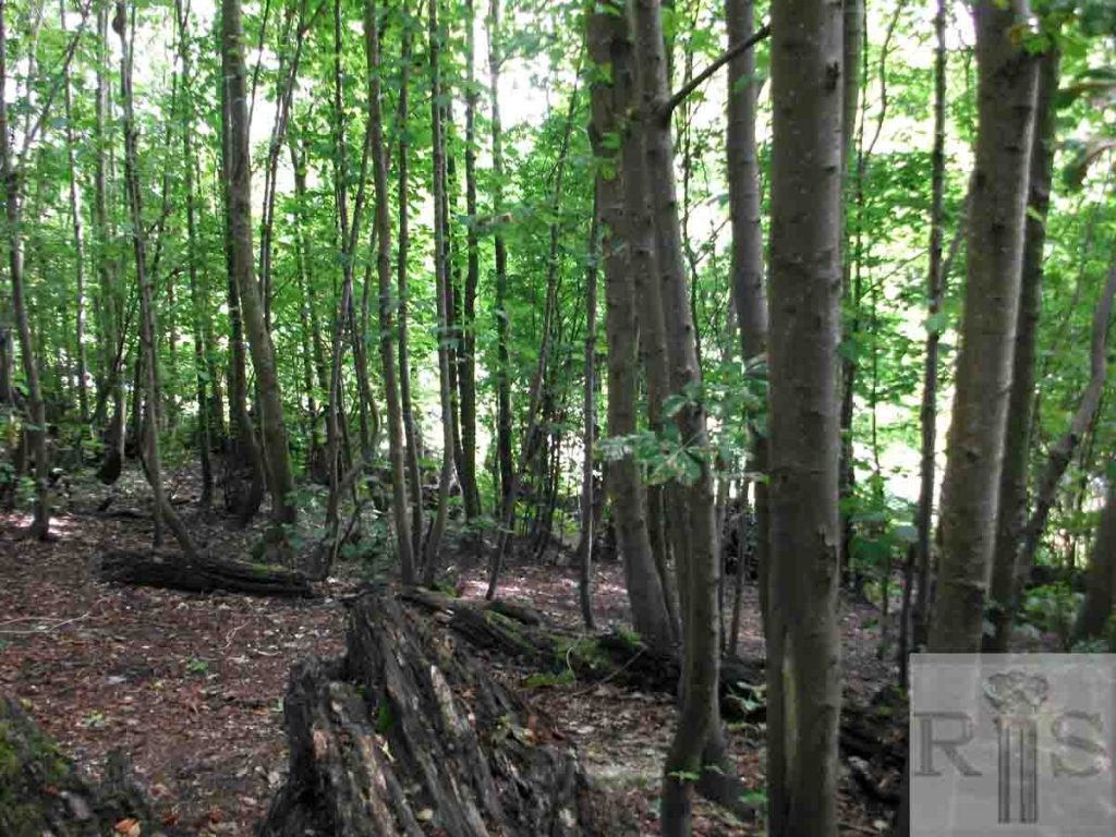
2018: Hollingbury Woods looking north-east. Very few mature trees now remain following the 1987 hurricane but young saplings are now slowly establishing themselves. The woods continue to be a well-frequented area for the community and are actively managed by local volunteers. (Photographer: Jane Jordan)
