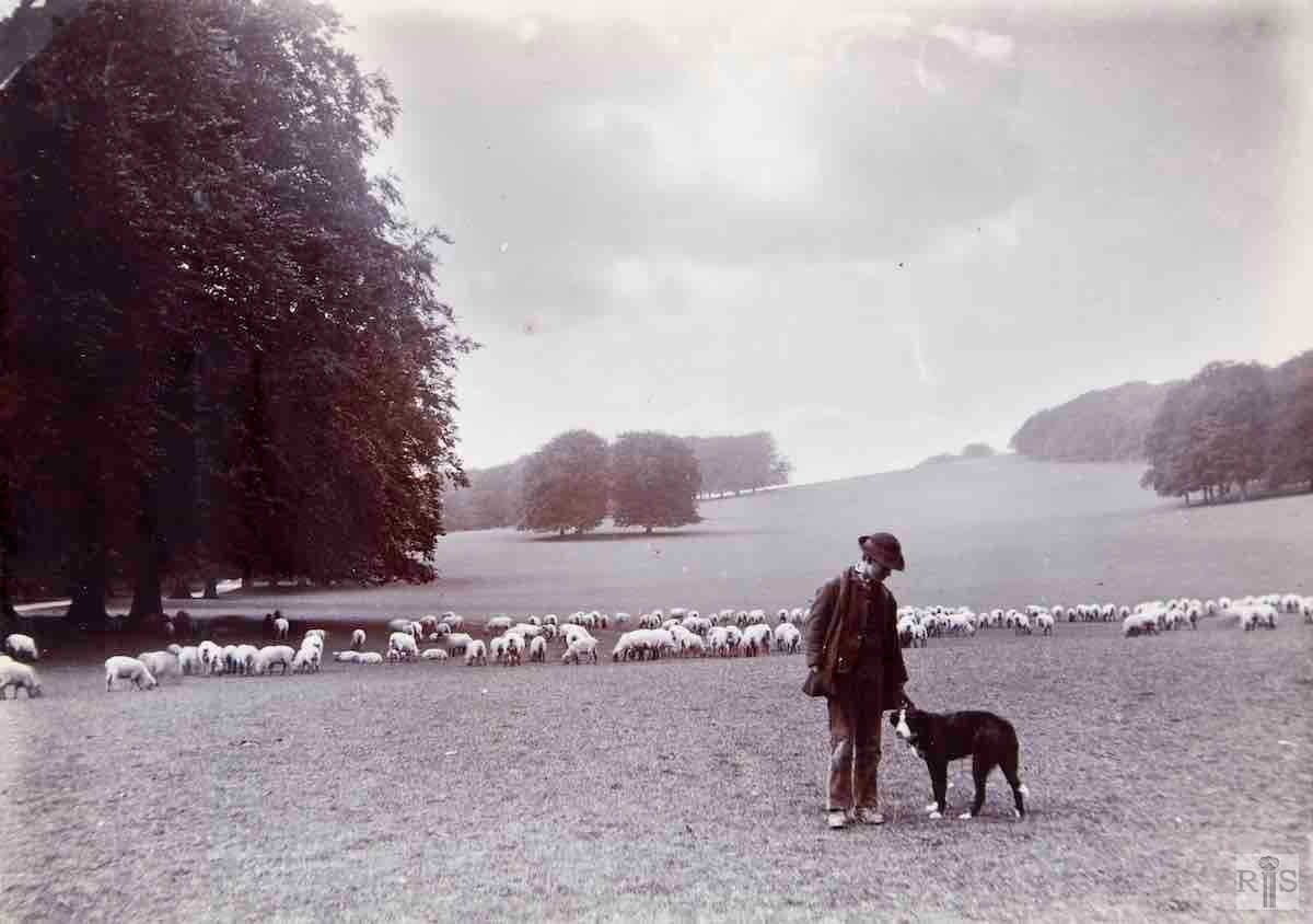
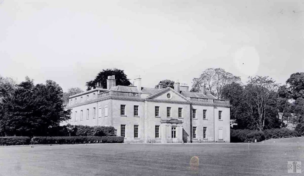
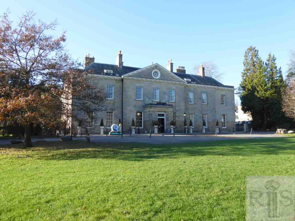
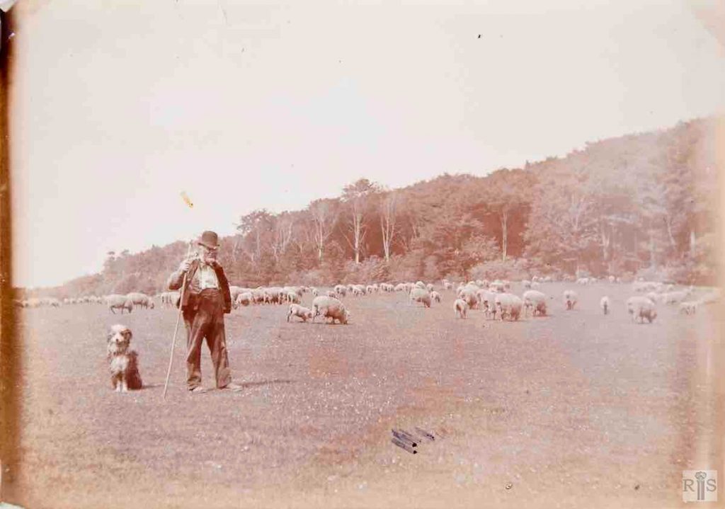
James Gray: Built in 1721-7 for Henry Pelham, it remained in the ownership and occupied by the Pelham family (Earls of Chichester) until 1947 when it was acquired by Brighton Corporation. The single bay extension to the right was added in 1860. During the Second World War the house and grounds were taken over by units of the Canadian Army. jgc_33_115
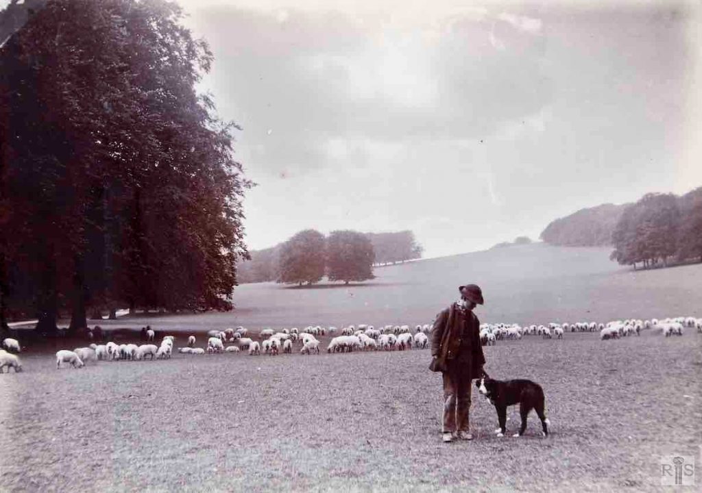
James Gray: Stanmer Park dating from the 1880s or 1890s. jgc_33_122
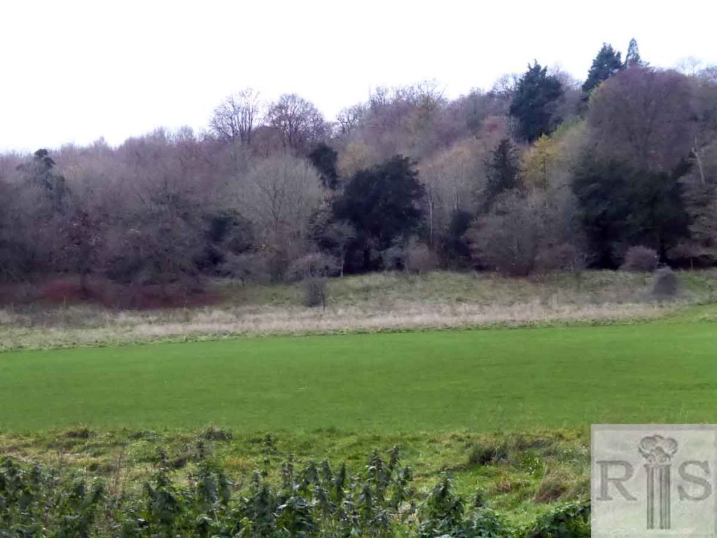
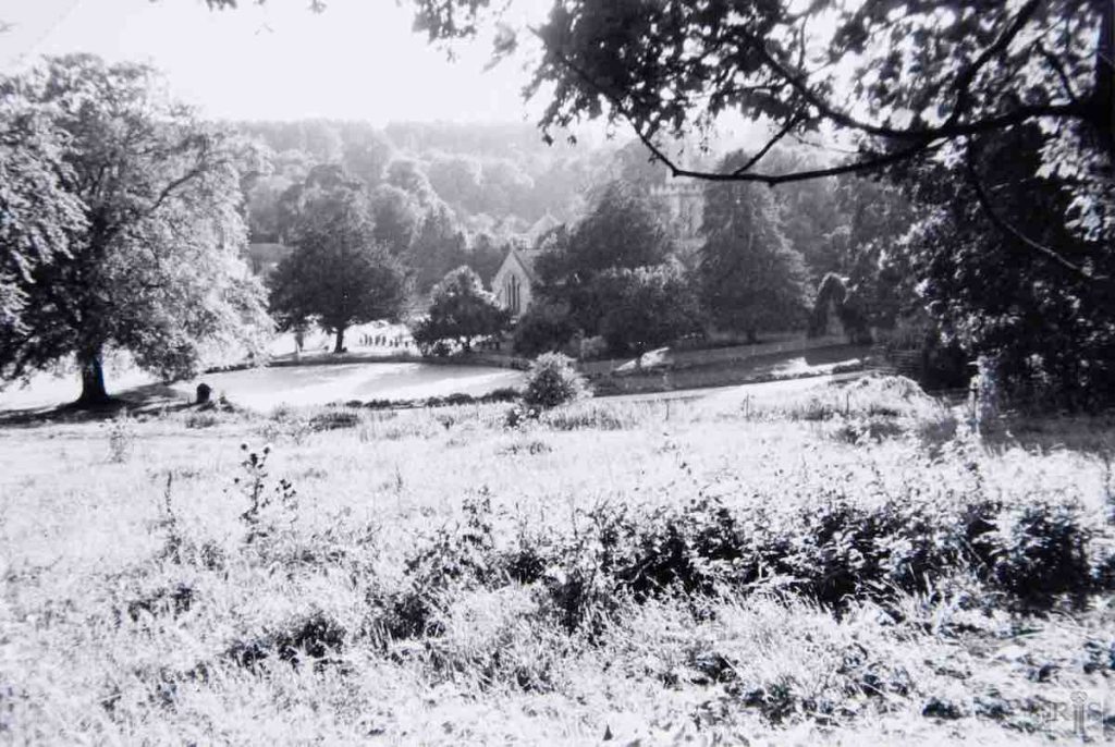
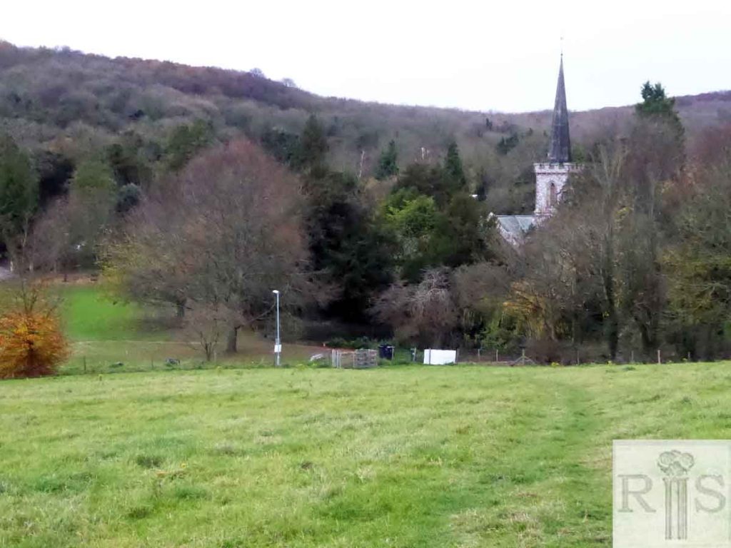
2018: Stanmer Great Wood looks substantially the same despite the effect of the Great Storm in 1987. It’s not possible to say exactly where the view is from, but this image is taken looking east from Stony Mere Way. (Photographer: Kevin Wilsher)
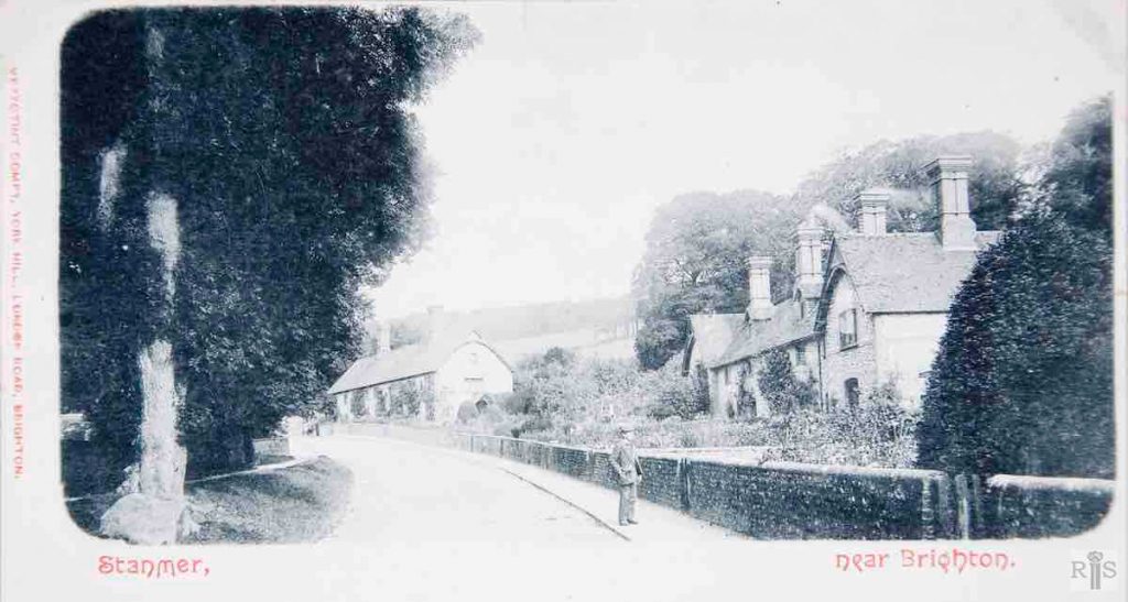
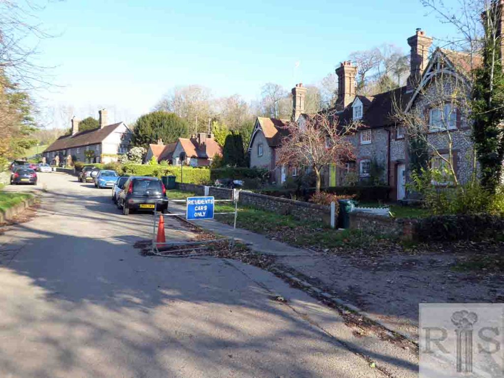
James Gray: This photograph is of the period 1900-10. The entrance to the park is little changed today, more than 50 (c1960) years afterwards. jgc_33_126
2018: The road and buildings are unchanged other than the addition of a pair of almshouses in the middle of the image. For a companion image from 1900-10, see jgc_33_125 on the Stony Mere Way page. (Photographer: Kevin Wilsher)
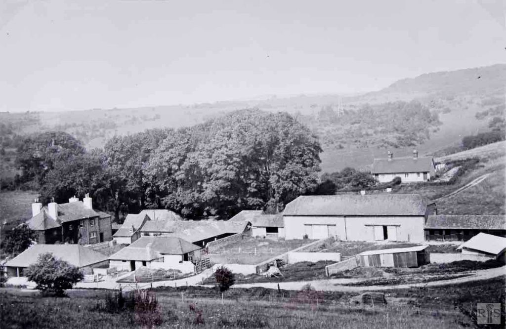
James Gray: A very fine photograph of St Mary’s Farm, Stanmer, as it was in the 1930s. The exact year is not known. The buildings now are said to be considerably changed but, as the area is somewhat remote and visitors are hardly encouraged, it is difficult to point to specific alterations. jgc_33_128
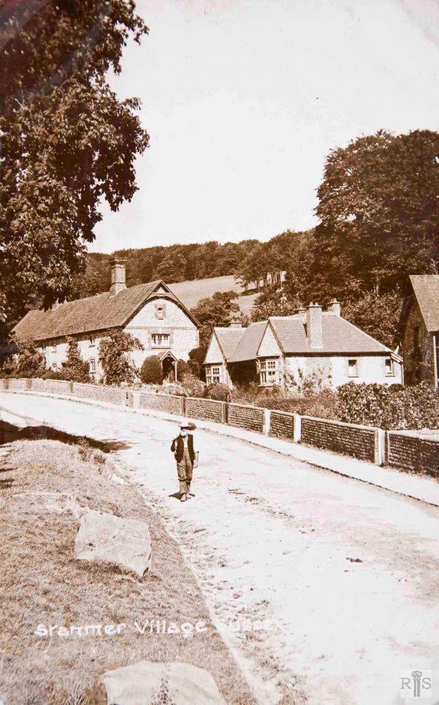
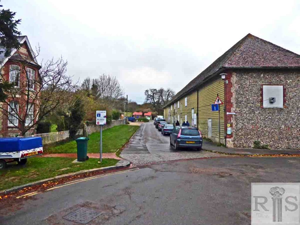
James Gray: This photograph dates from the 1920s. I do not know where this photograph was taken, but it is easily recognisable as the village street. How quiet and free from people it seems but the estate was then in private occupation and the general public had little access. jgc_33_131
2018: The original image appears to have been taken from the top of the spire of Stanmer Church. The buildings are substantially unaltered although the farm buildings on the right appear unused at the moment. (Photographer: Kevin Wilsher)
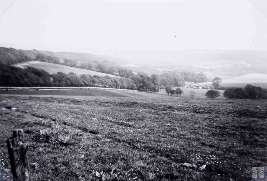
James Gray: Looking across to Coldean Lane and Farm with Stanmer Woods at the left, in May 1939. An undisturbed country scene! jgc_33_133
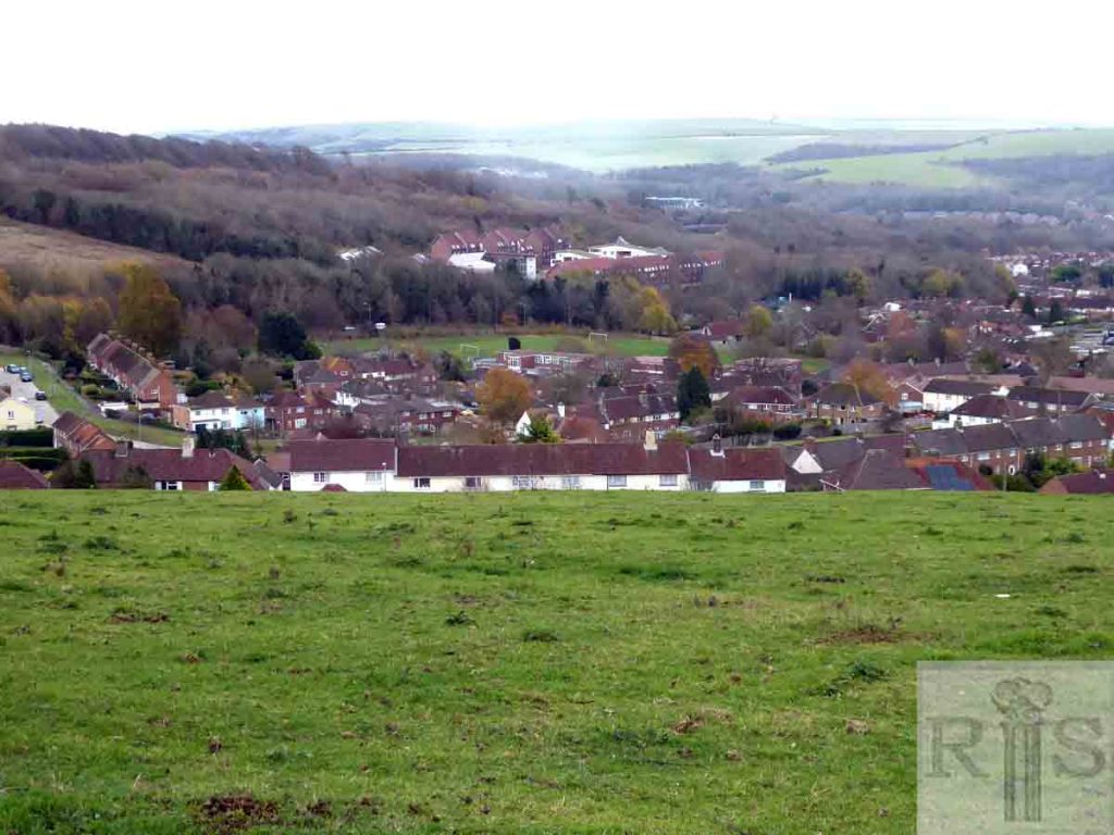
2018: This view appears to have been taken looking south east from just west of Ditchling Road across to Coldean Lane and down towards the Lewes Road. The Coldean Estate and Brighton University now dominate the scene. Just beyond, hidden by trees, is the A27 Brighton bypass. (Photographer: Kevin Wilsher)
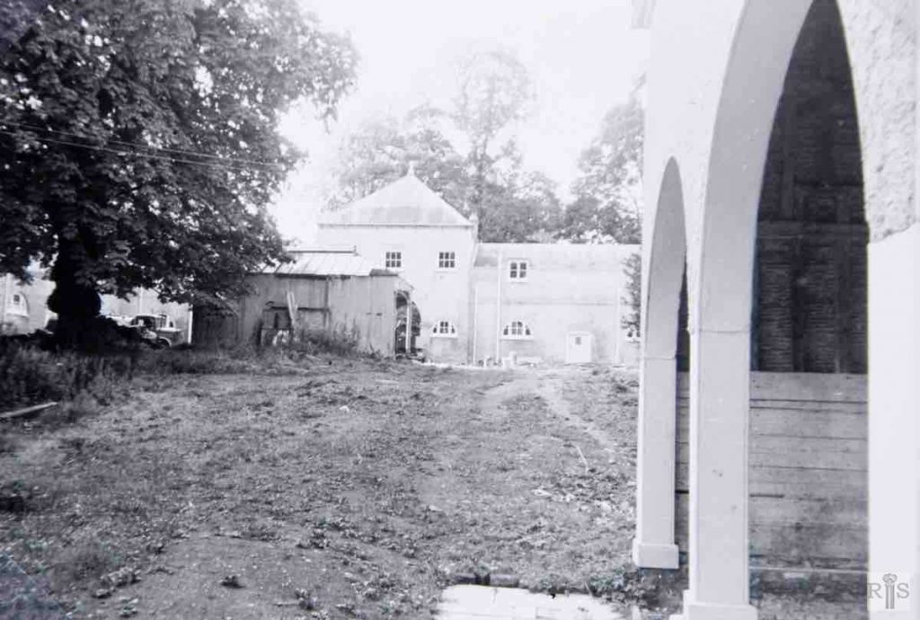
James Gray: Stanmer outbuildings, including the housing for the horse gin, in September 1950. jgc_33_135
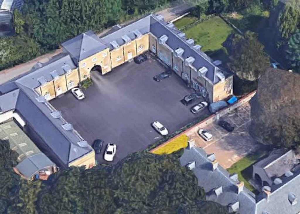
2018: Due to redevelopment, the same image cannot be recreated. The outbuilding in the original image has gone. The buildings surrounding the courtyard on the west side of Stanmer House have been restored and converted to private residential accommodation.
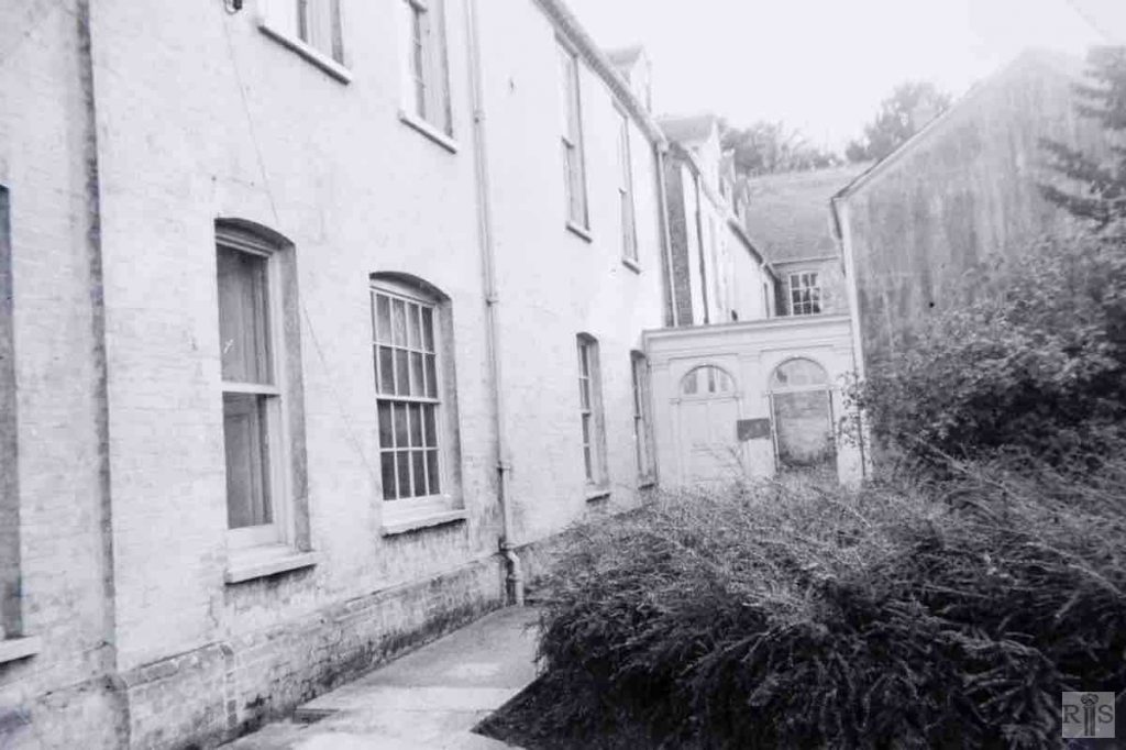
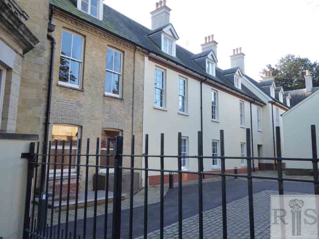
James Gray: Stanmer outbuildings, including the west side of Stanmer House which has since been demolished, in September 1950. jgc_33_136
2018: Due to redevelopment, the same image cannot be obtained. There have certainly been some changes to the fabric of the building as the roofing looks new in places and the brickwork is now rendered. James Gray suggests that a substantial part of the west side of the building was demolished which is possible. This would, presumably, have happened between the 1950 photo and the 1954 Grade I listing. (Photographer: Kevin Wilsher)
