Historic and Contemporary Images of Brighton and Hove
Based on the Regency Society James Gray Collection
  • Home page
    • James Gray
    • Project volunteers
    • Acknowledgements and copyright
    • Contact us
  • Master map
  • Street Index
  • Find a place
    • Neighbourhoods
    • Images of the seafront
    • Parks and Open Spaces
    • Redeveloped areas
    • Street Index
    • Royal Pavilion Estate
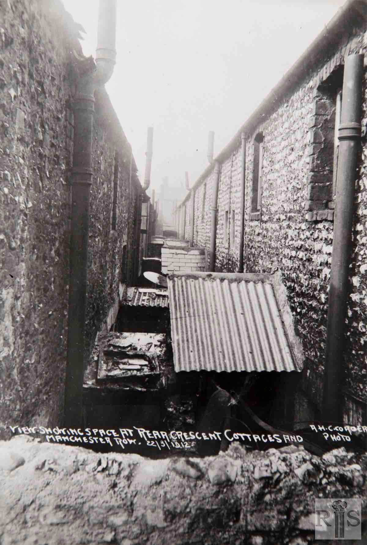
HEREFORD STREET AREA, MANCHESTER ROW & CRESCENT COTTAGES

Upper Bedford Street area

Kemptown

Upper Bedford Street area formerly contained dense, often poor quality housing. It was extensively redeveloped from the 1920s until the 1970s. There are many images of this area before redevelopment in the James Gray Collection. Where these images are of demolished streets, images have been placed on pages for nearby present day streets. Please see the index below to see where images have been placed. 

James Gray describes the redevelopment of this area in his caption to jgc_22_147 (on Lavender Street page): 

‘This term [Hereford Street area] is somewhat loosely applied to that dense area in Eastern Brighton bounded by Eastern Road, Lavender Street, Upper St James’s Street, Bristol Road and Montague Place. In this confined space were built during the 1830s no less than 14 streets or passages, running east and west of Upper Bedford Street. Lavender Street, incidentally, took its name from double hedges of lavender, which grew on each side of the road in its early days. The first clearance in this area took place in 1925 when Paradise Street and Manchester Row were completely swept away and the worst of the houses in Hereford Street were demolished and replaced by council houses.

Essex Place and Essex Cottages were the next to go, in 1929. Crescent Cottages were dealt with in 1934 and partially rebuilt with new council houses. In the following year Laurel Row was entirely demolished and no trace of this narrow passage now remains. Finally most of Bedford Buildings went in 1937 though a few houses survived the war and stood until 1954. If the Corporation’s plans are carried out several of the remaining streets, such as Essex Street and Somerset Street, will be demolished so that the area can be redeveloped as a single unit. 

(Please note that general practice in this website is to name streets using their current name. Historic street names are included  only in areas such as this where there has been exceptionally complex development making it impossible to locate images accurately using a current street name. )

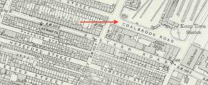
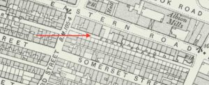
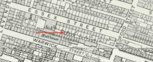
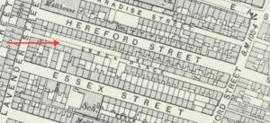
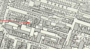
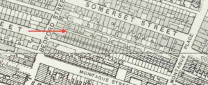
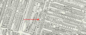
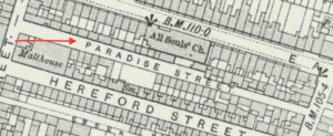
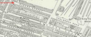
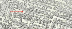
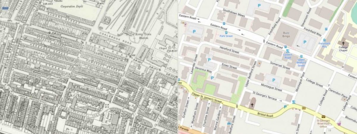
The map on the left is Ordnance Survey 25 inch 1892 - 1914.  That on the right is Open Street Map in 2020. These maps, and others on this page, are reproduced with the permission of the National Library of Scotland and are of the same area to the same scale. (click on the map to see the NLS 'Side by side' interactive map).

Comparison map: Historic streets alongside 2020 layout of Upper Bedford Street area

The map on the left is Ordnance Survey 25 inch 1892 – 1914. That on the right is Open Street Map in 2020. These maps, and others on this page, are reproduced with the permission of the National Library of Scotland and are of the same area to the same scale. (click on the map to see the NLS ‘Side by side’ interactive map).

Historic street index

Historic street names appear on the left with a link to the present day street page where images can be found (usually the closest to the original image) is on the right. 

Historic Street

Page(s) for 2020 streets where images can be found

Bedford Buildings

Present day streets:

Montague Place 

Upper Bedford Street

Coalbrook Road 

Present day street:

Eastern Road (1A): Kemptown Station site

there is also an image on Eastern Road (1)

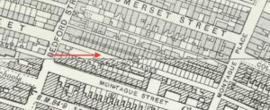
Crescent Cottages
Present day streets:

Montague Place 

Upper Bedford Street

Edwin Place

Present day streets:

Montague Place 

Upper Bedford Street

Essex Cottages

Present day street:

Upper Bedford Street

Essex Place

Present day streets:

Lavender Street

Essex Street

Laurel Row

Lavender Street

Upper Bedford Street

Manchester Row

Present day streets:

Upper Bedford Street

Montague Place

Mount Street

Present day street:

Lavender Street

Paradise Street

Present day street:

Lavender Street

Sloane Street 

Present day street:

Eastern Road (1)

Warwick Street

Present day street:

Upper Bedford Street

Historic and Contemporary Images of Brighton and Hove
This website has been prepared by the Regency Society of Brighton and Hove. All historic maps are provided with kind permission of the National Library of Scotland (https://www.nls.uk/) regencysociety.org

Search