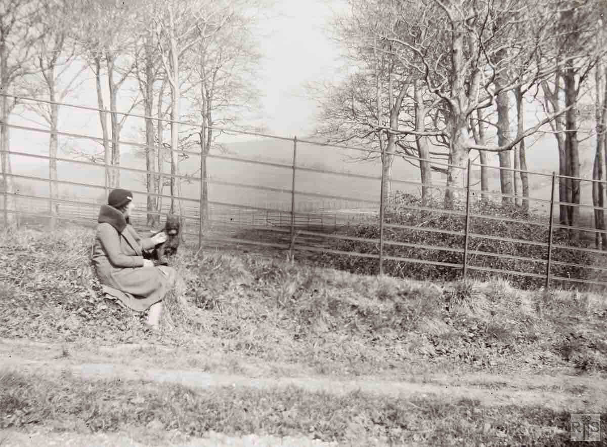
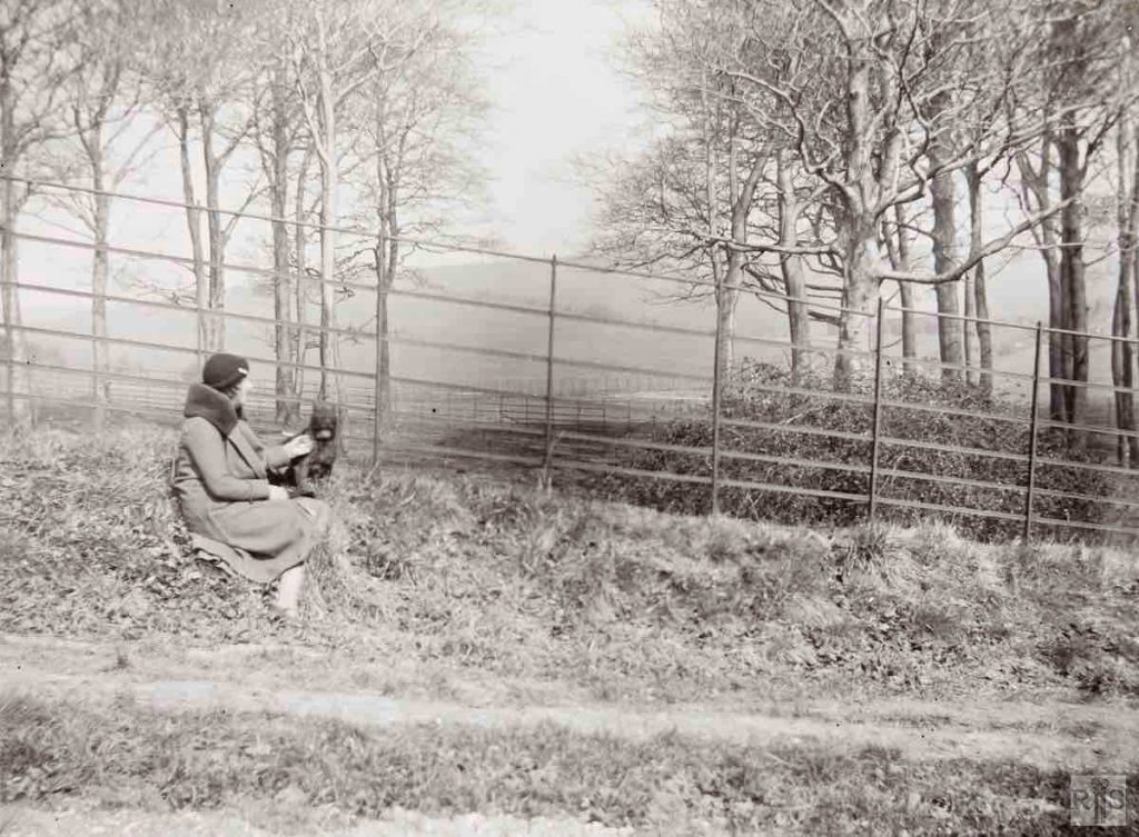
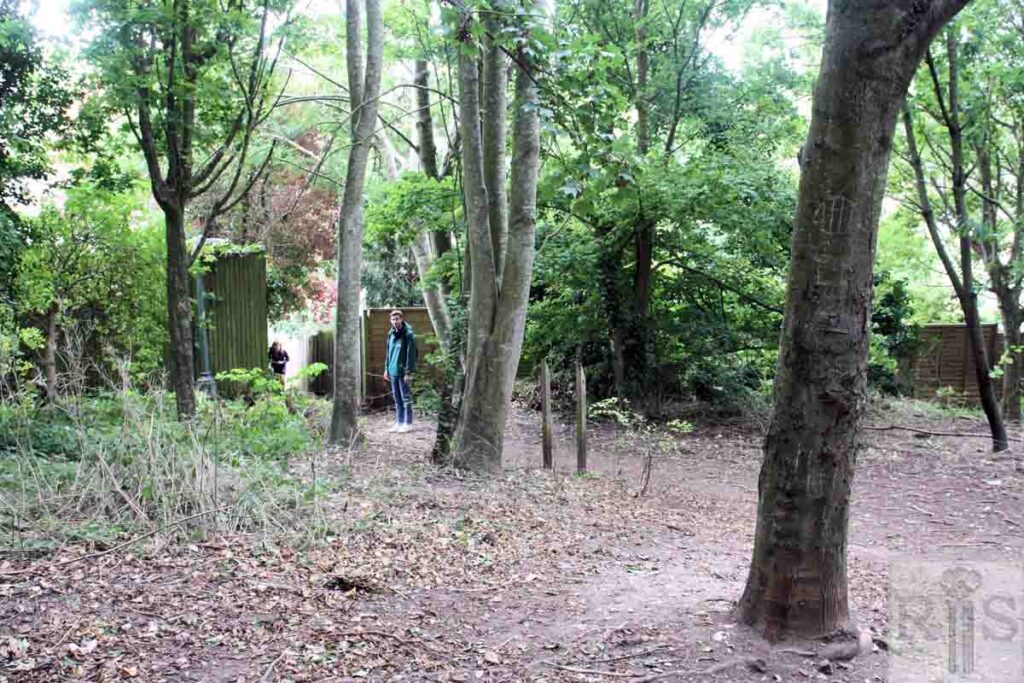
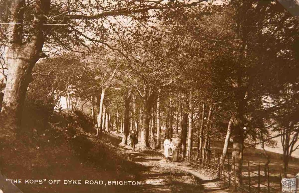
James Gray: Above in 1933 at the lower end, where today Shirley Drive joins Woodland Drive. jgc_17_094
2020: The railings have long since disappeared. The people on the left in the modern image are at the top of the public footpath leading up from Woodland Drive, close to its junction with the northern end of Shirley Drive. The footpath continues to the right, and links with Woodland Avenue. (Photographer: Alan Hobden)
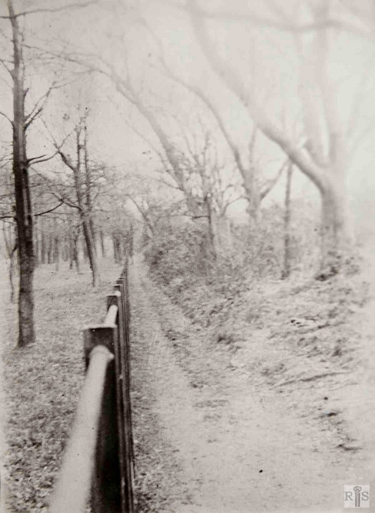
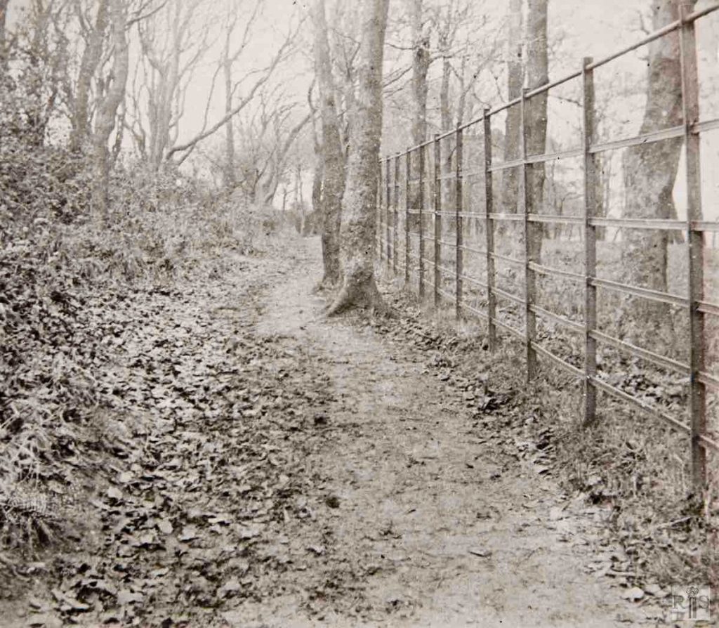
James Gray: Views in both directions, from the middle of the Copse, on Boxing Day, 26 December 1911.[See also jgc_17_096] jgc_17_095
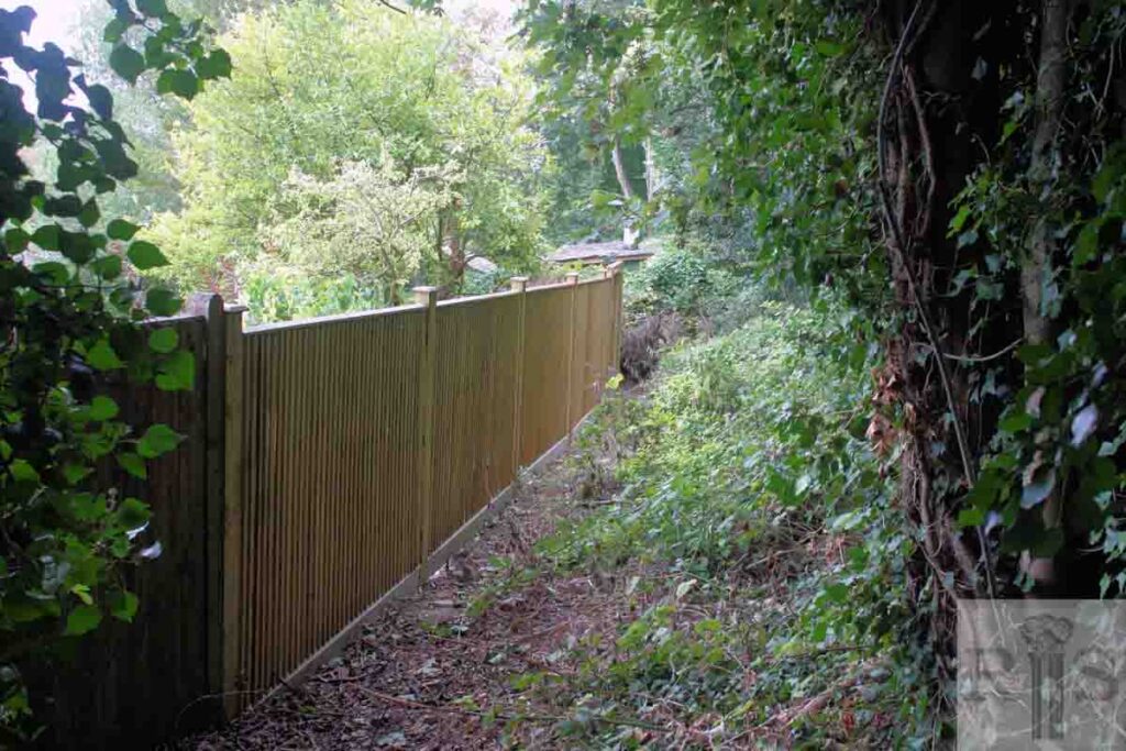
2020: Timber fences stand in place of the railings shown in 1911. These fences are at the top end of the rear gardens of the properties on the west side of Woodland Drive. (Photographer: Alan Hobden)
James Gray: [See caption for jgc_17_095 above.] jgc_17_096
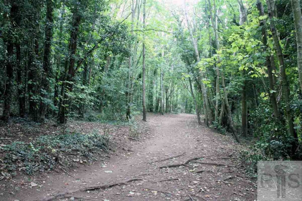
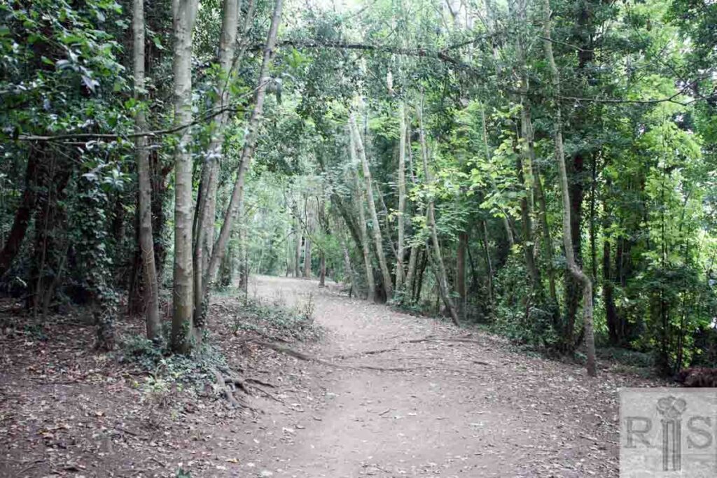
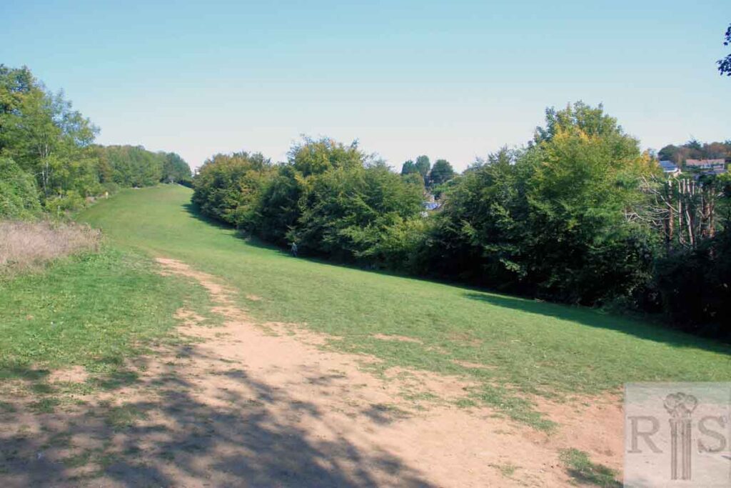
2020: This is the view looking north up through the Three Cornered Copse. Further on, the copse opens out into a much wider grassed area, bounded on the left by Woodland Avenue and on the right by Woodland Drive. The route meets Dyke Road Avenue at the very top, opposite the Hilltop Café. (Photographer: Alan Hobden)
James Gray: The Three Cornered Copse or Dyke Road Copse has existed for more than 100 years. Originally the object of quite a lengthy country walk from Hove, it is now almost hemmed in by houses but among the trees it is little changed from this scene of 1911. The iron railings, which once ran the full length of the copse, divided Court Farm, West Blatchington from Tongdean Farm, and were mostly removed during the war. jgc_17_099
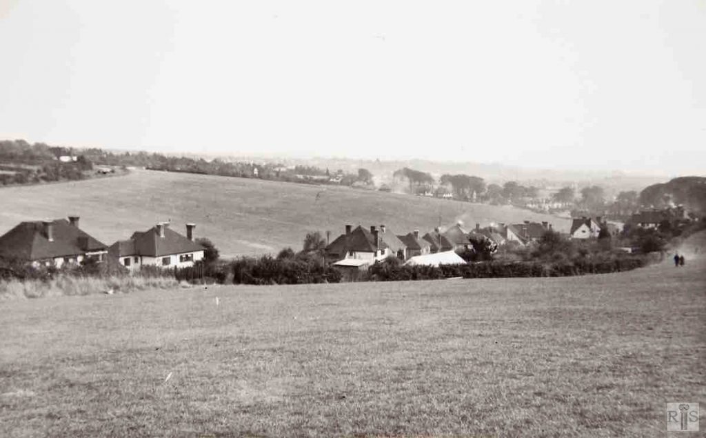
James Gray: Looking down Woodland Drive towards the junction with Shirley Drive, in 1948. At the top left can be seen one lone house in Hill Brow, built in 1939. jgc_17_105
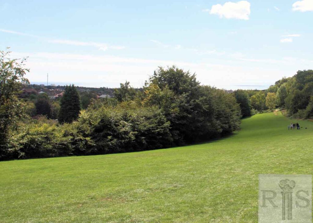
2020: The houses in Woodland Drive, seen clearly in the 1948 view looking south east, are now screened by the growth of the trees lining the edge of the copse. The British Airways i360 Viewing Tower, which opened on 4 August 2016 next to the West Pier, is clearly visible on the skyline to the left of the picture.
James Gray: Views of this well-known copse from the south west, looking towards Dyke Road Avenue. This one was taken from half way up the copse. Both photographs [see also jgc_17_107 below] show the iron railings which ran the full length of the copse. jgc_17_106
2020: The open grassed area of the Three Cornered Copse has been reduced significantly in size since 1938, due to the natural encroachment of additional trees.
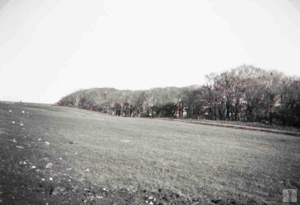
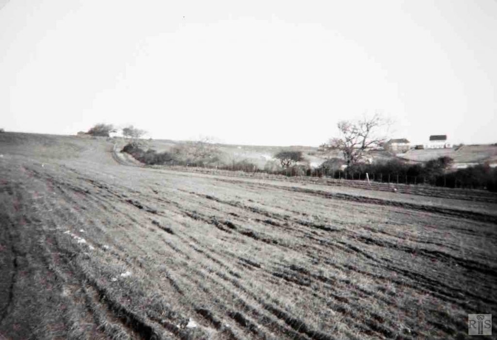
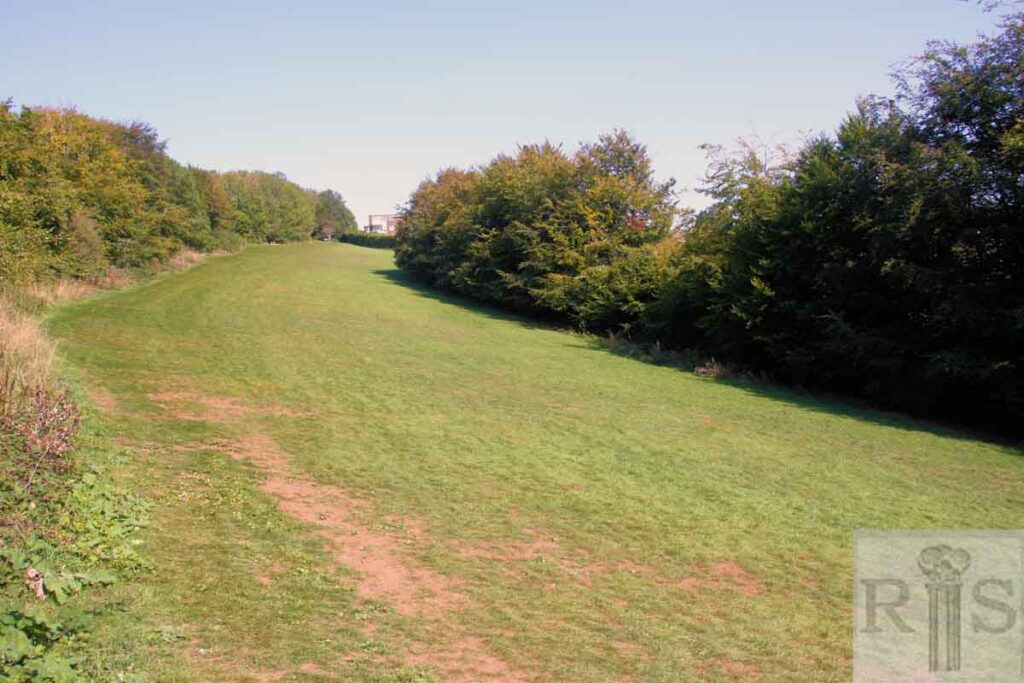
James Gray: Views of this well-known copse from the south west, looking towards Dyke Road Avenue. This one was taken from further up and shows the sparsely treed area and the grassland already undergoing ploughing up. Both photographs [see also jgc_17_106 above] show the iron railings which ran the full length of the copse. jgc_17_107
2020: Apart from the growth of trees since 1938, the main change has been at the top of the copse with the addition in the 1950s of the Woodland Court development.
