Panoramas and events
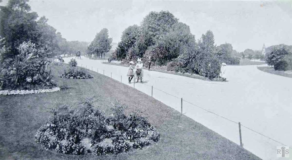
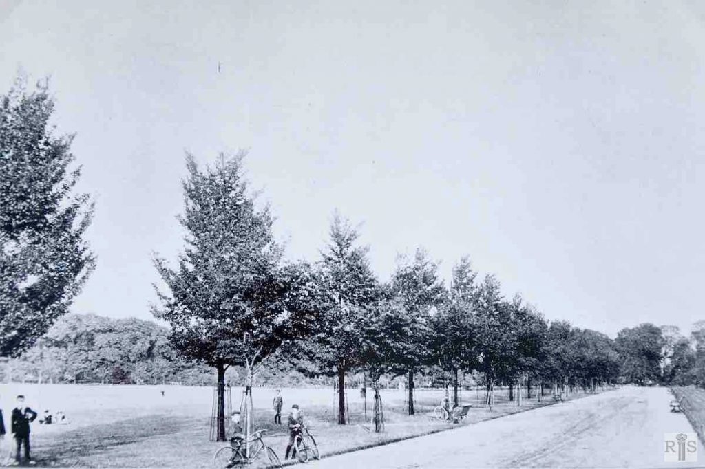
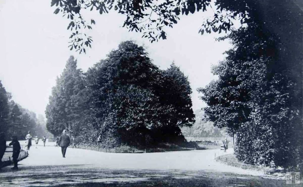
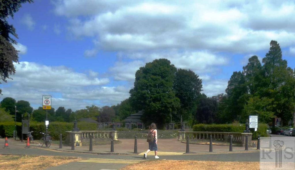
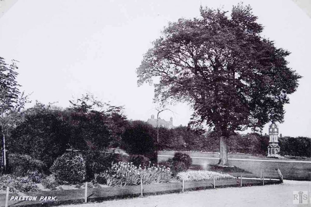
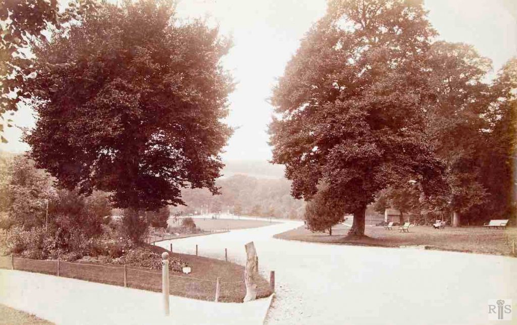
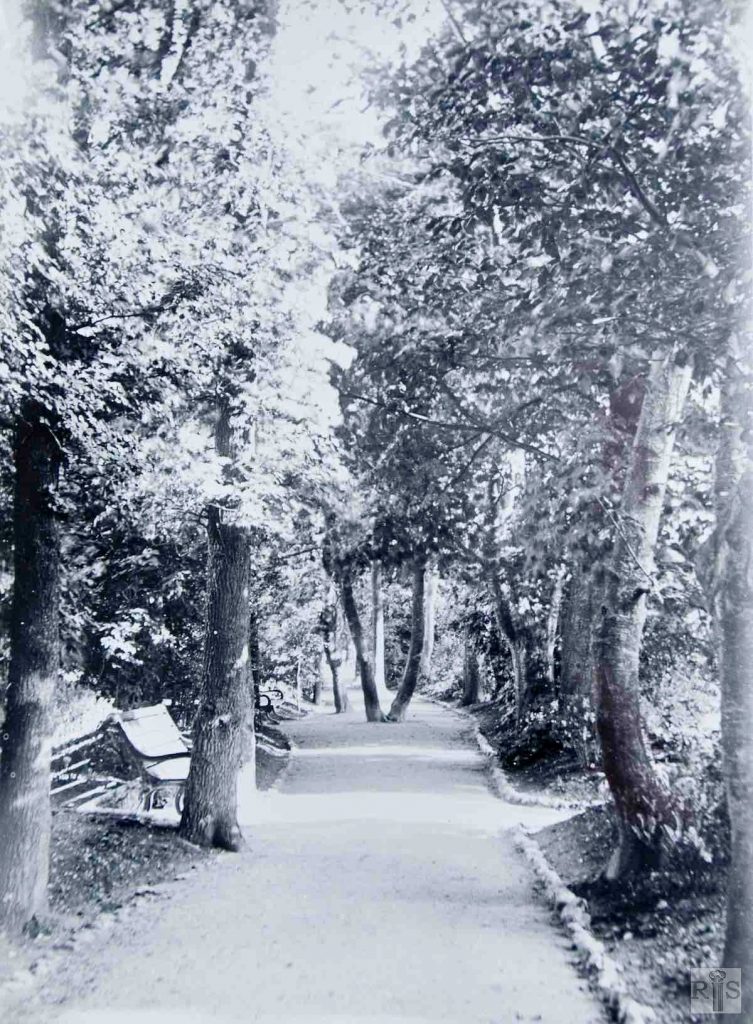
James Gray: A view of the carriage drive within the old railings. Period about 1912. jgc_18_049
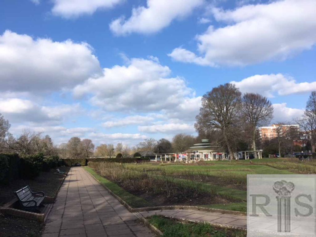
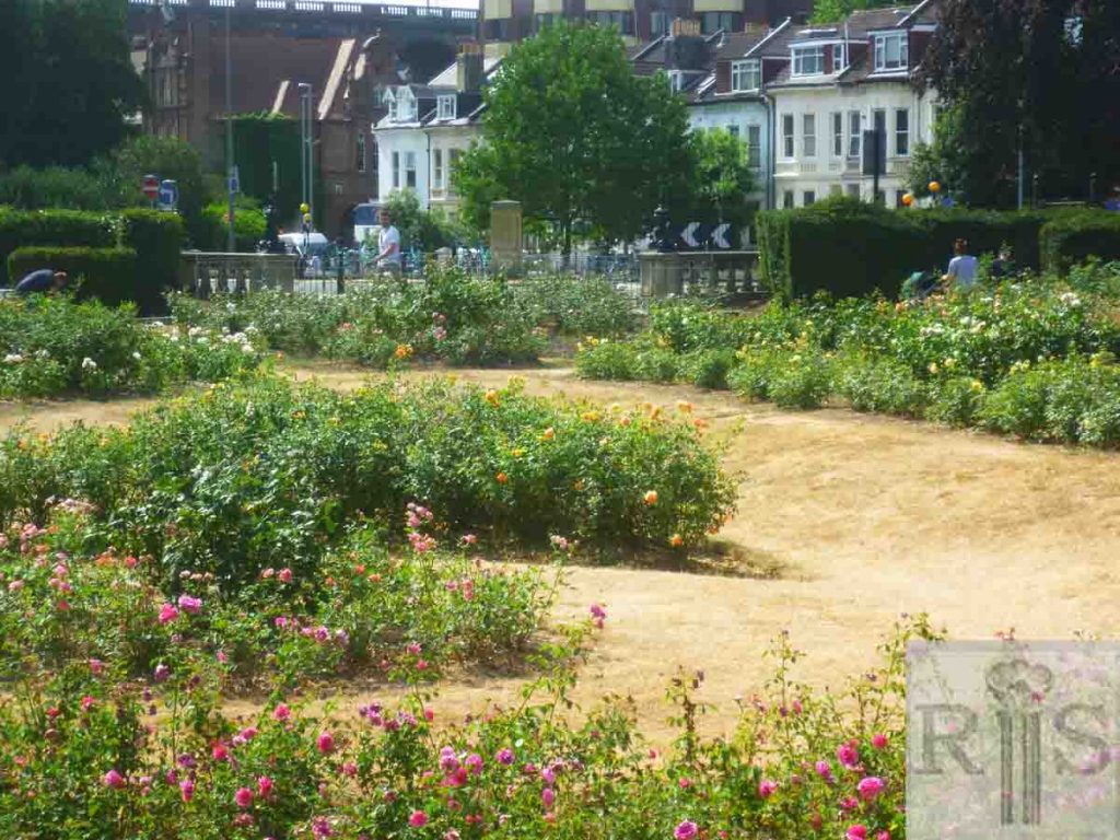
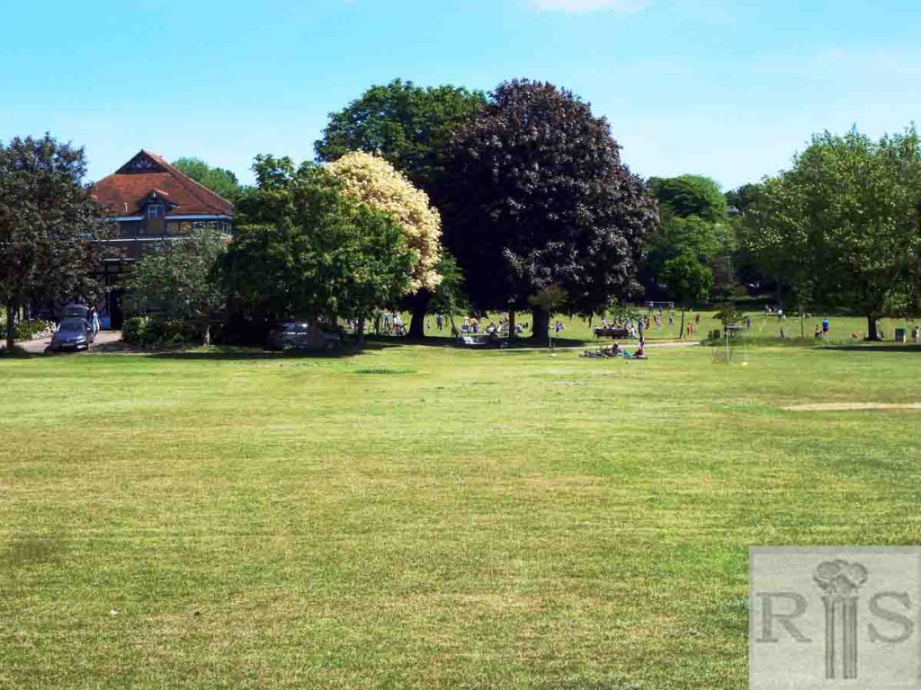
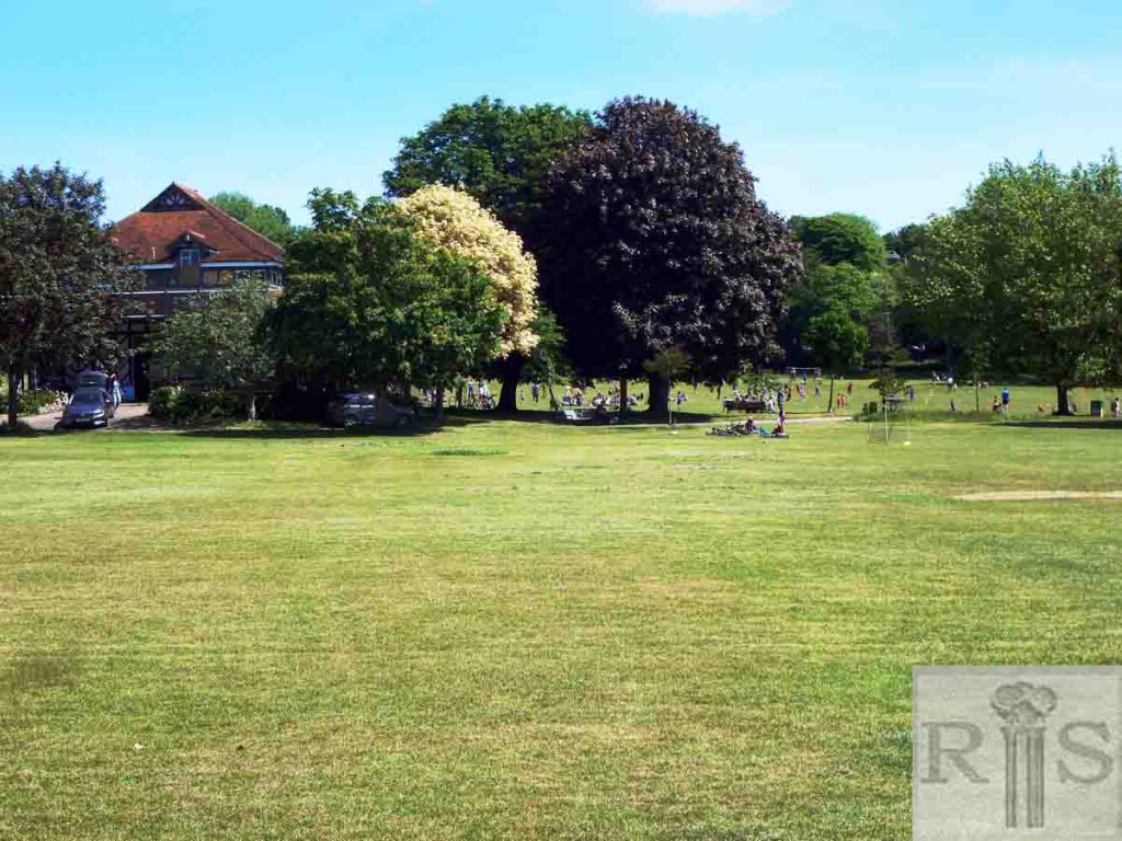
2018: This photograph appears to have been taken from about what is now the south west corner of the Rose Garden opened in 1929. The garden hedges completely block this view. The modern photograph is taken from the north west corner of the Rose Garden. The Clock Tower is still visible. (Photographer: Helen Glass)
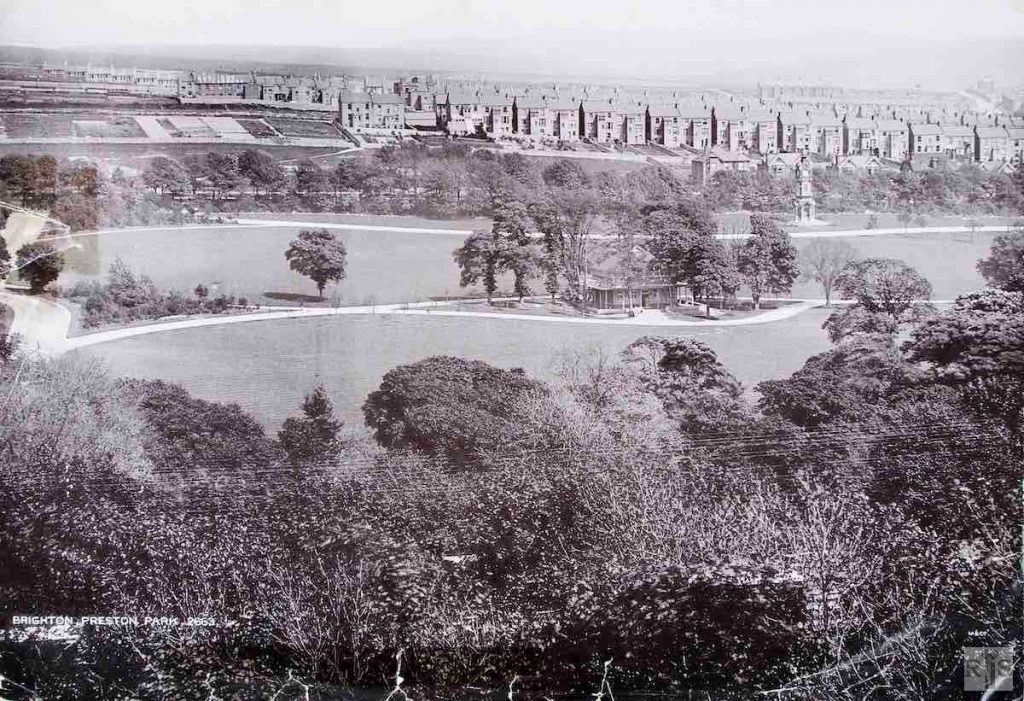
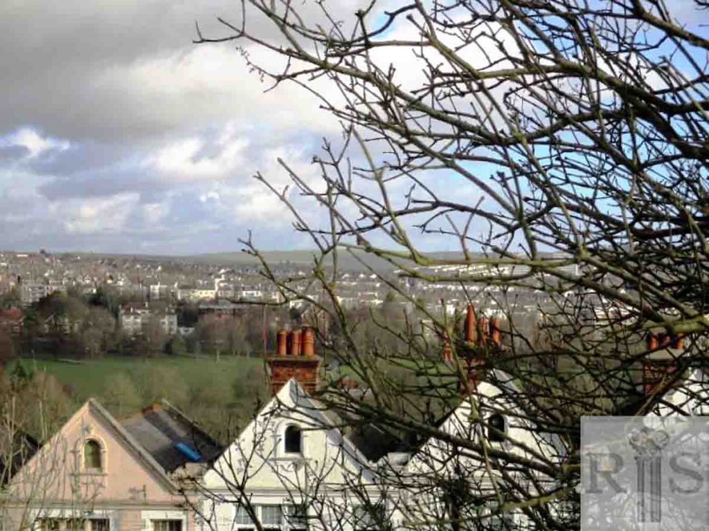
James Gray: This panoramic view, taken from a spot near Inwood Crescent, dates from about 1897. Across the park can be seen Preston Park Avenue, Beaconsfield Villas, Havelock Road & Waldegrave Road, all in course of building. The end two houses of Beaconsfield Villas, the backs of which can be seen, appear to be the present Nos 71 & 73. Additional information: Sunlight Laundry. jgc_18_051
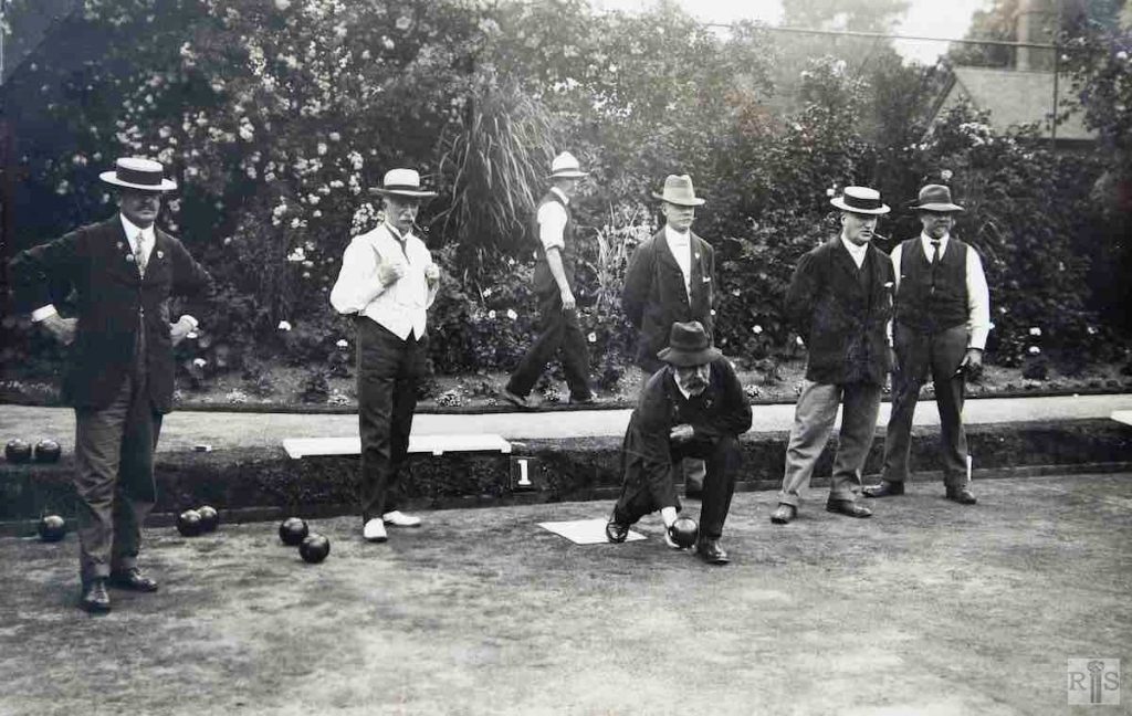
James Gray: The small municipal bowling green – period the early 1920s. This was situated roughly where the Rose Garden is now and it disappeared when alterations to the layout of the park took place in 1928 – 1929. The house just visible beyond the trees was the Park Superintendent’s house, which is seen in several other photographs. jgc_18_062
2018: The Rose Garden replaced the bowling green.
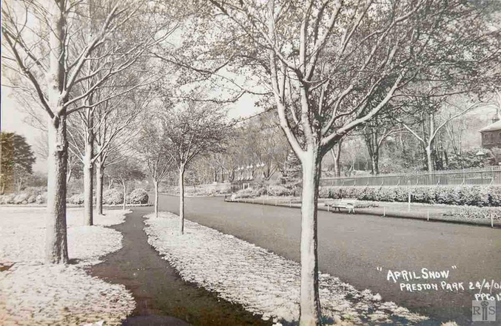
James Gray: A rather unusual view from inside the park, looking south towards the middle gates in Preston Park, opposite Lovers Walk. It is not often that the iron railings were seen from the inside. Taken on 24 April 1908 in the snow. jgc_18_064
2018: The railings are now on the left hand side. (Photographer: Mark Stephenson)
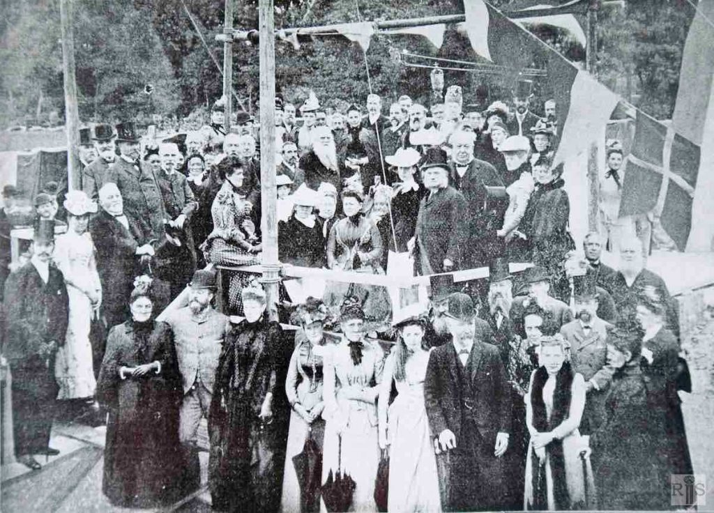
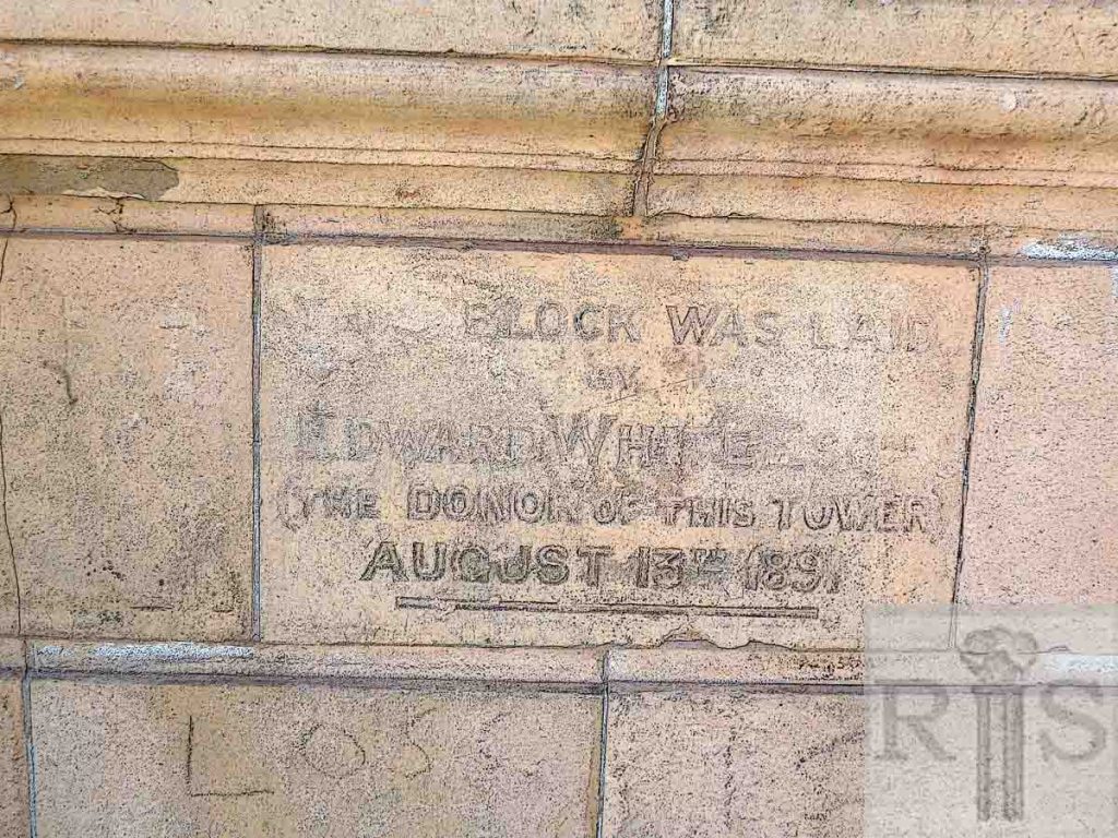
James Gray: The ceremony of laying the foundation stone of the Clock Tower, in Preston Park, on 13 August 1891, in the presence of the Mayor, Alderman Sir J Ewart. The park had been opened on 10 September 1883.
The terracotta tower and clock was presented by Councillor Edward White, J P and was handed over to the town in 1892. Additional Information: An array of whiskers! and formal clothes. jgc_18_073
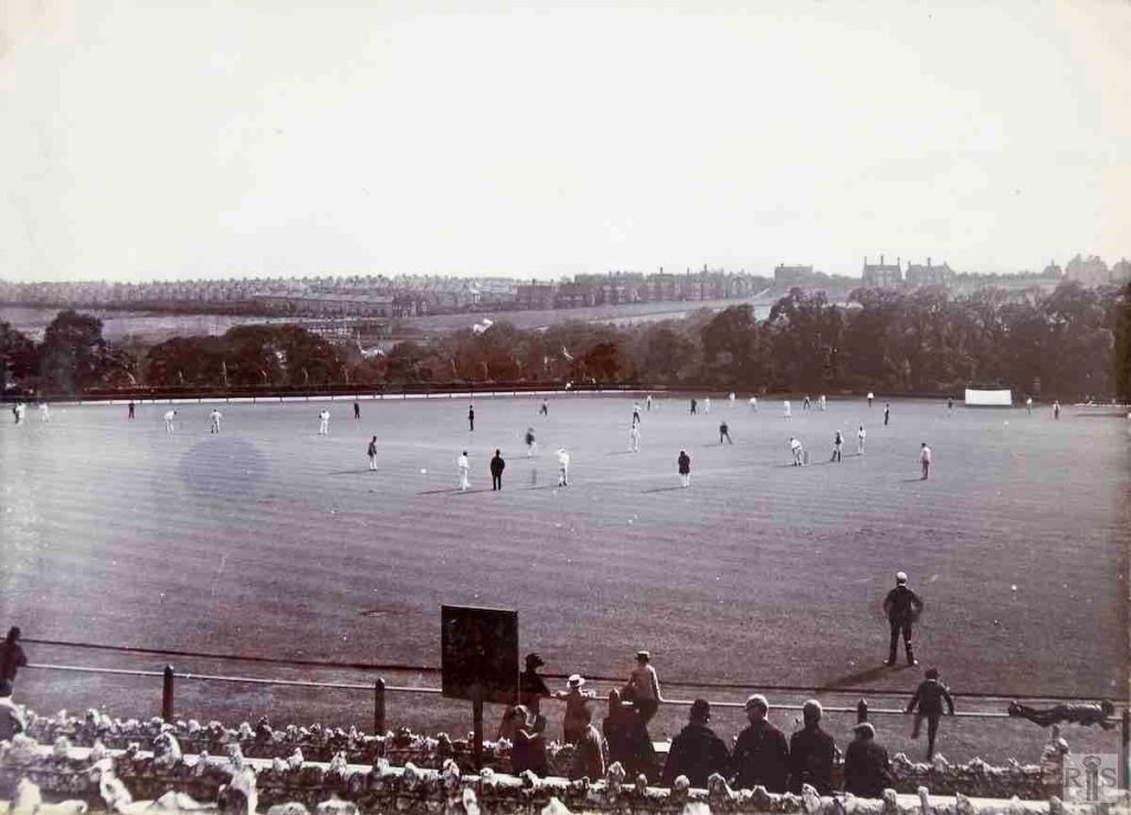
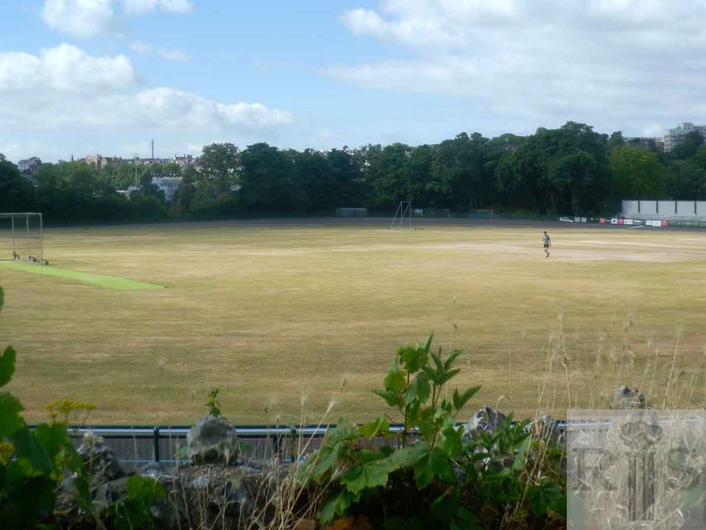
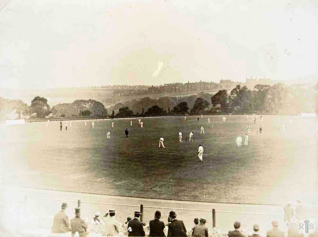
James Gray: These two photographs [jgc_18_078 and jgc_18_079 below] are said to date from 1896, and there is little to be seen to prove or disprove this. In this photograph the gaps in the houses of Highcroft Villas can be seen, and the few houses at the north end of Stanford Road known as Park View Terrace. There is no sign of Stanford Road Schools. jgc_18_078
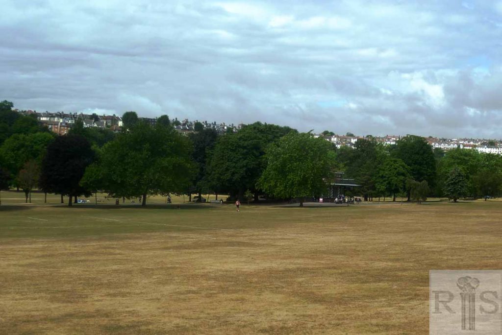
2018: The cricket field shown in Gray’s image is now known as Preston Park Velodrome. (Photographer: Mark Stephenson)
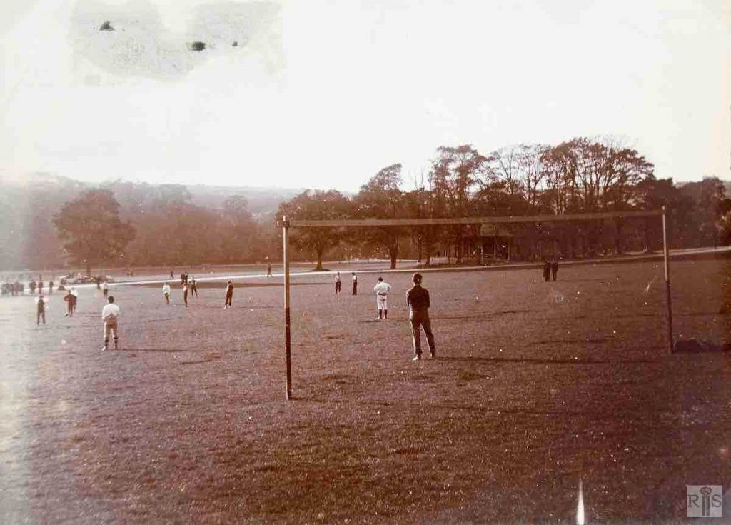
James Gray: This photograph is said to date from 1896. Certainly the primitive goal posts and the appearance of the players suggests the 19th century. jgc_18_080
2018: Football is still very popular. The area in the foreground of the picture is now used for children’s football matches. The hill on the horizon is now well within the built up area of Brighton. (Photographer: Mark Stephenson)
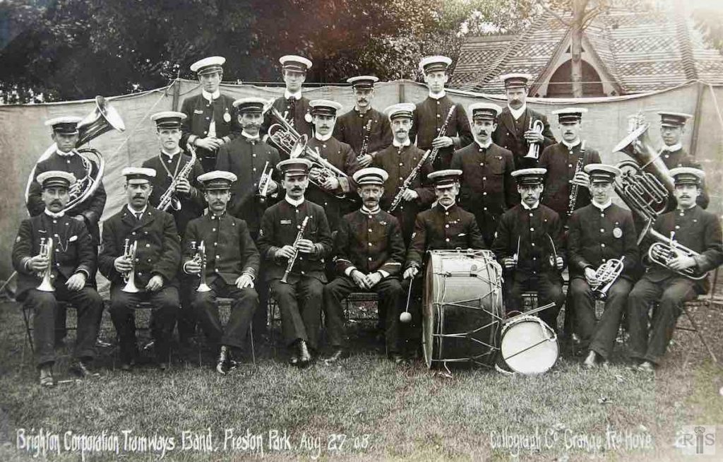
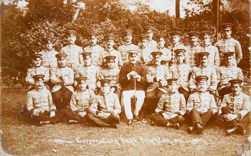
James Gray: In this photograph, the small building, (The Tile House) behind the canvas screening places The Brighton Corporation Tramways Band roughly in the centre of the park. The date is 27 August 1908. jgc_18_083
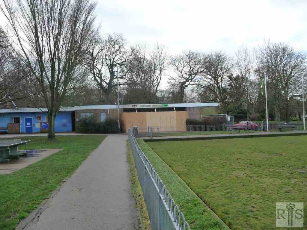
2018: The Tile House (in the background of the 1908 photo) is still in place but is due for some maintenance. (Photographer: Mark Stephenson)
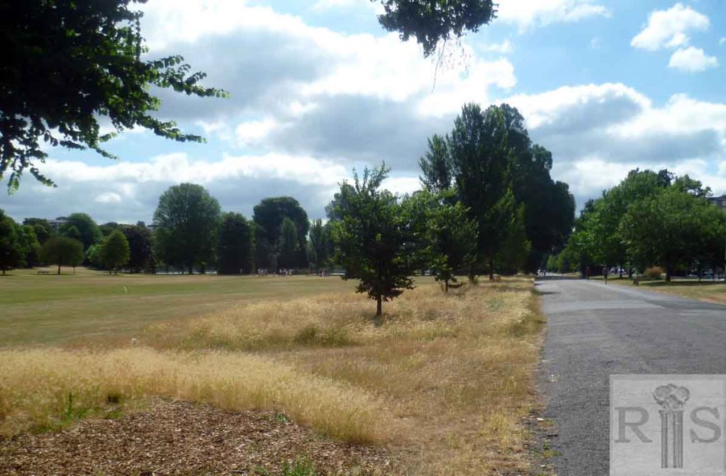
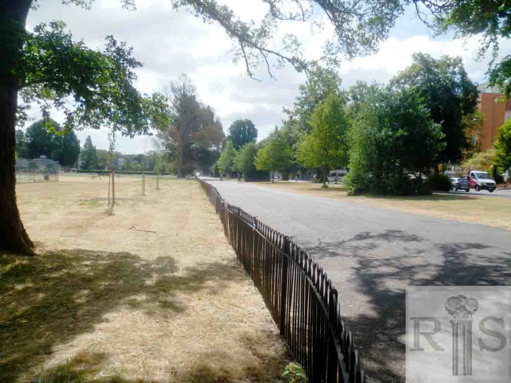
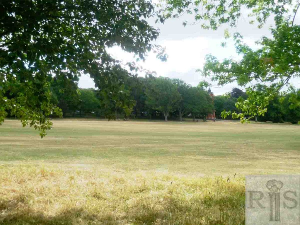
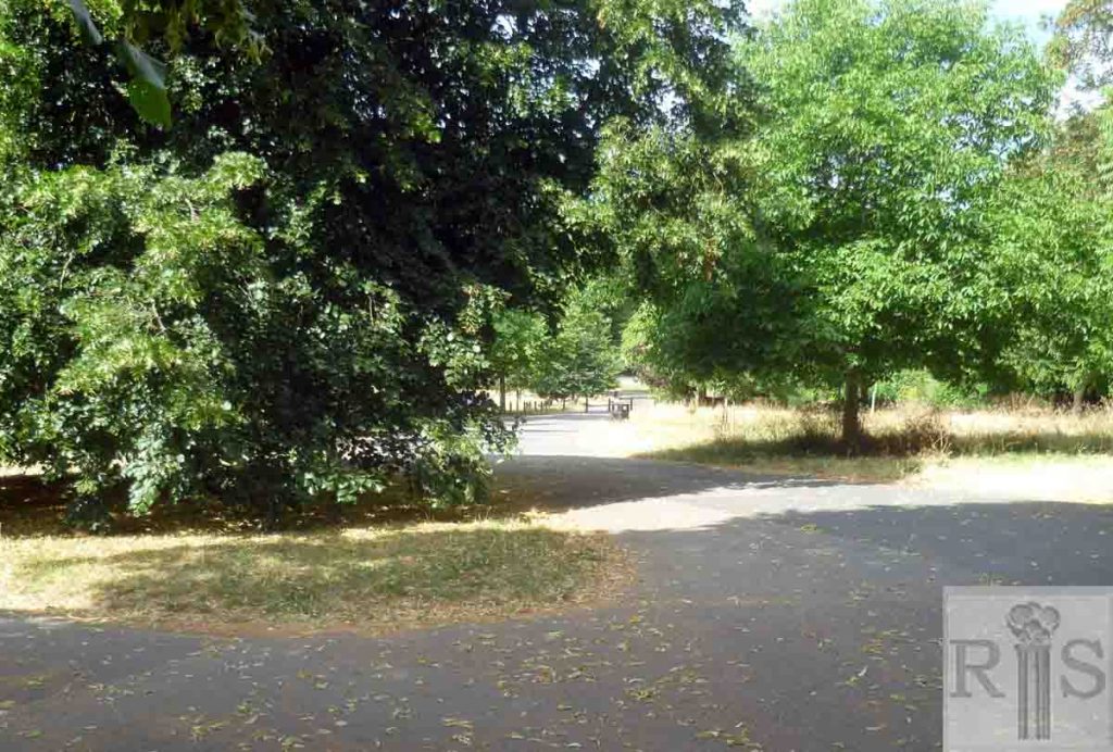
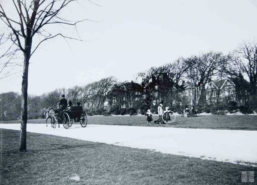
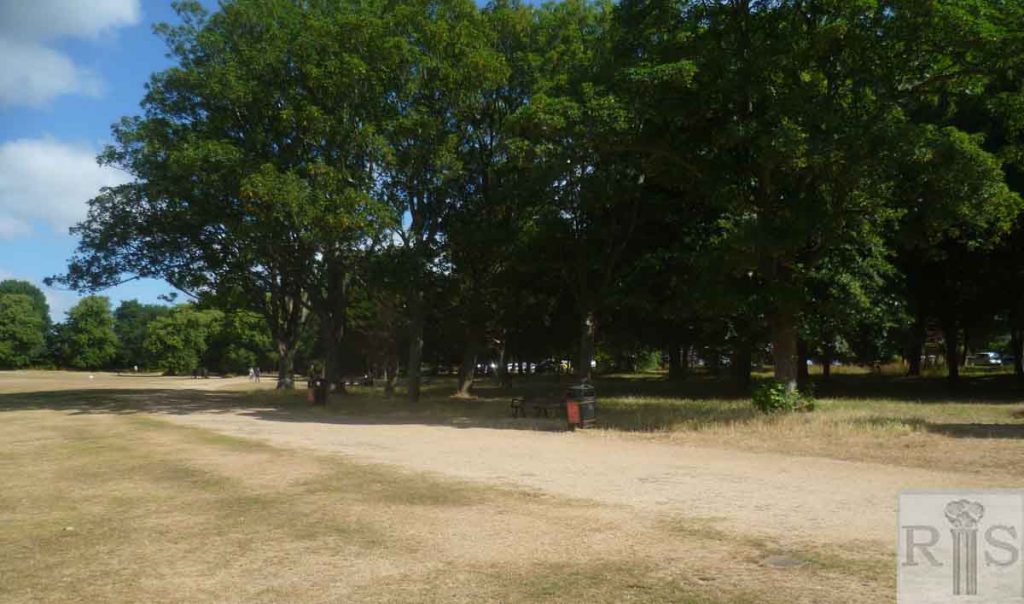
James Gray: A peaceful scene in the eastern side of Preston Park, with the houses of Preston Park Avenue in the background. The exact year is not known, but it was between 1900 and 1904. When the park was first laid out an imposing carriage drive traversed the entire inner perimeter, but while the north and west parts of this still remain, the drive seen here has been grassed over. I have not been able to find out when this was done, but it must have been many years ago. jgc_18_074
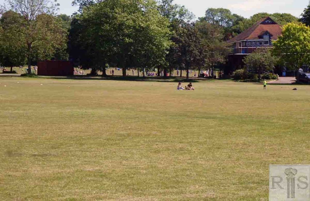
2018: The dry weather in 2018 exposed the line of the grassed over drive. (Photographer: Mark Stephenson)
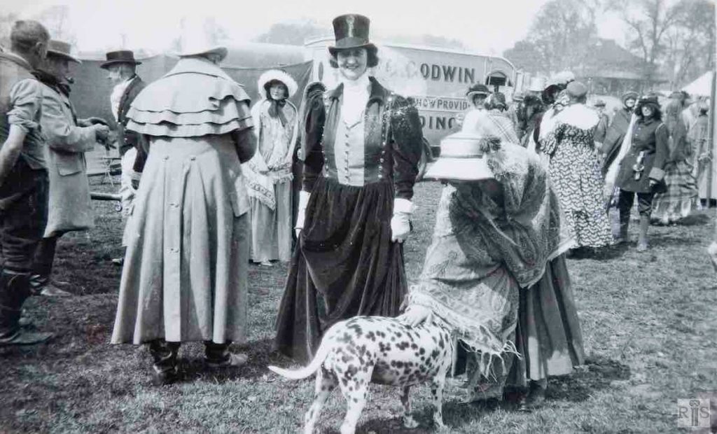
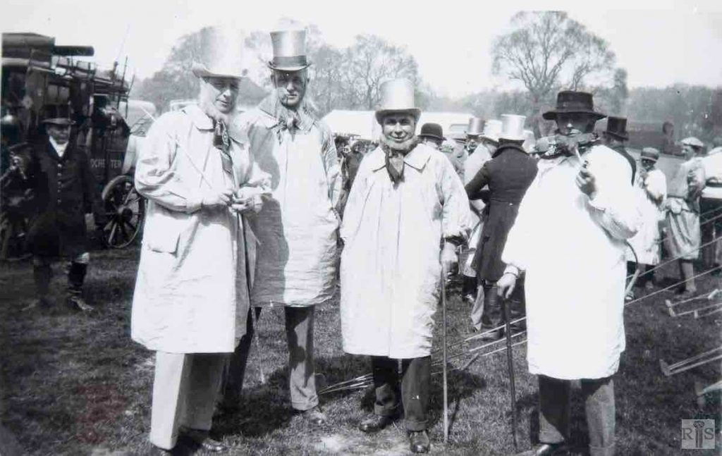
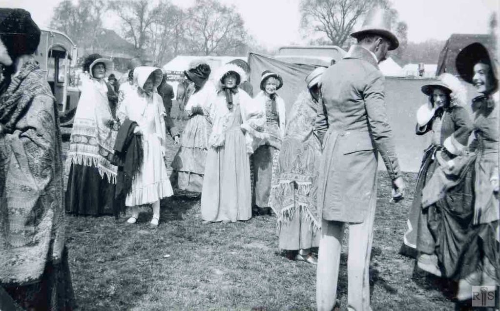
James Gray: These photographs [jgc_18_085, 086 and 087] were taken during the Preston Park Horse and Dog Show, in May 1930. This was styled “A Pageant of Hunting”, though little evidence of this is apparent. Additional Information: Local people dressed up. jgc_18_085
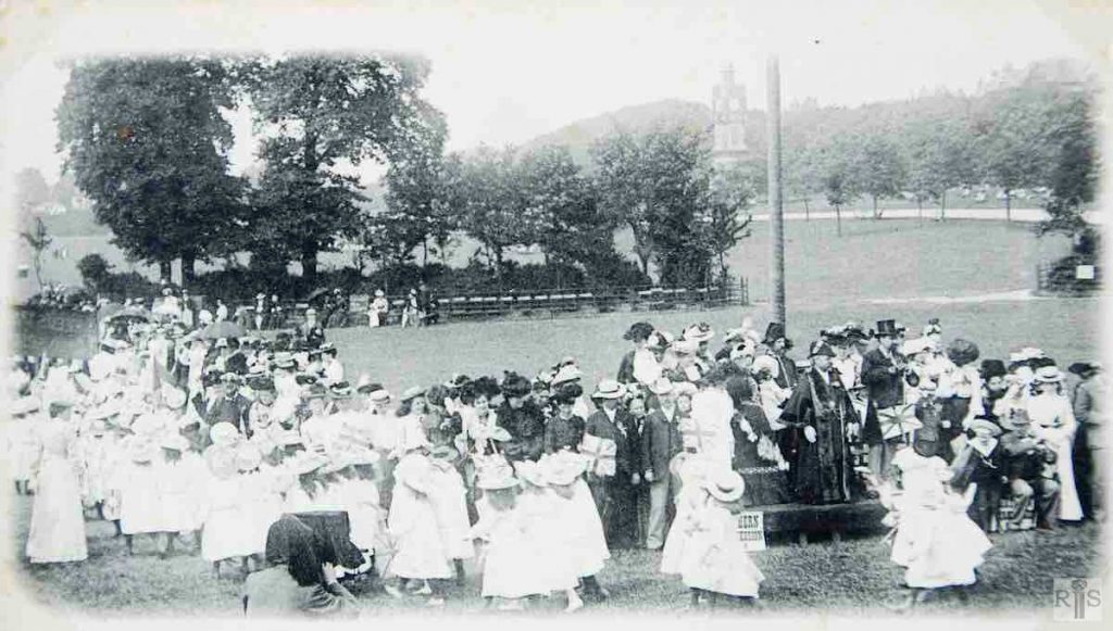
James Gray: Schoolchildren arriving in Preston Park for sports and treat, held to celebrate the coronation of King Edward VII, being welcomed by the Mayor, Alderman J E Stafford. Additional Information: Note the photographer in the foreground. jgc_18_050
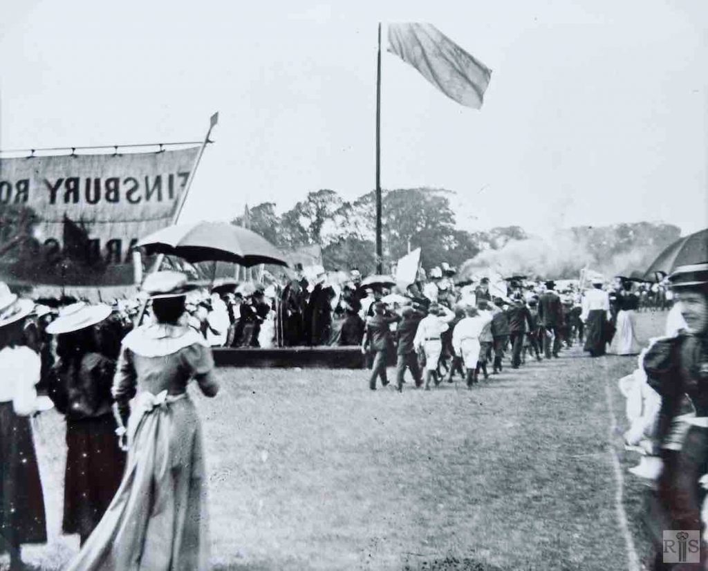
James Gray: Schoolchildren at the festivities in the park, in July 1902. Coronation of Edward VII. The Finsbury Road School contingent is approaching the dais. jgc_18_061
James Gray: Scenes of the 1890s. jgc_18_075
James Gray: These two photographs [jgc_18_078 above and jgc_18_079] are said to date from 1896, and there is little to be seen to prove or disprove this. In this photograph the gaps in the houses of Highcroft Villas can be seen, and the few houses at the north end of Stanford Road known as Park View Terrace. There is no sign of Stanford Road Schools. jgc_18_079
James Gray: Three events in Preston Park, which need little comment. [See also jgc_18_083 and 084 above.] The locations of two of these are easily identifiable. In this photograph the Corporation Band provides no clues. It dates from about 1907 and I think the group was at the extreme southern end of the Park, near to Preston Park Avenue, where the Rose Garden is today. jgc_18_082
