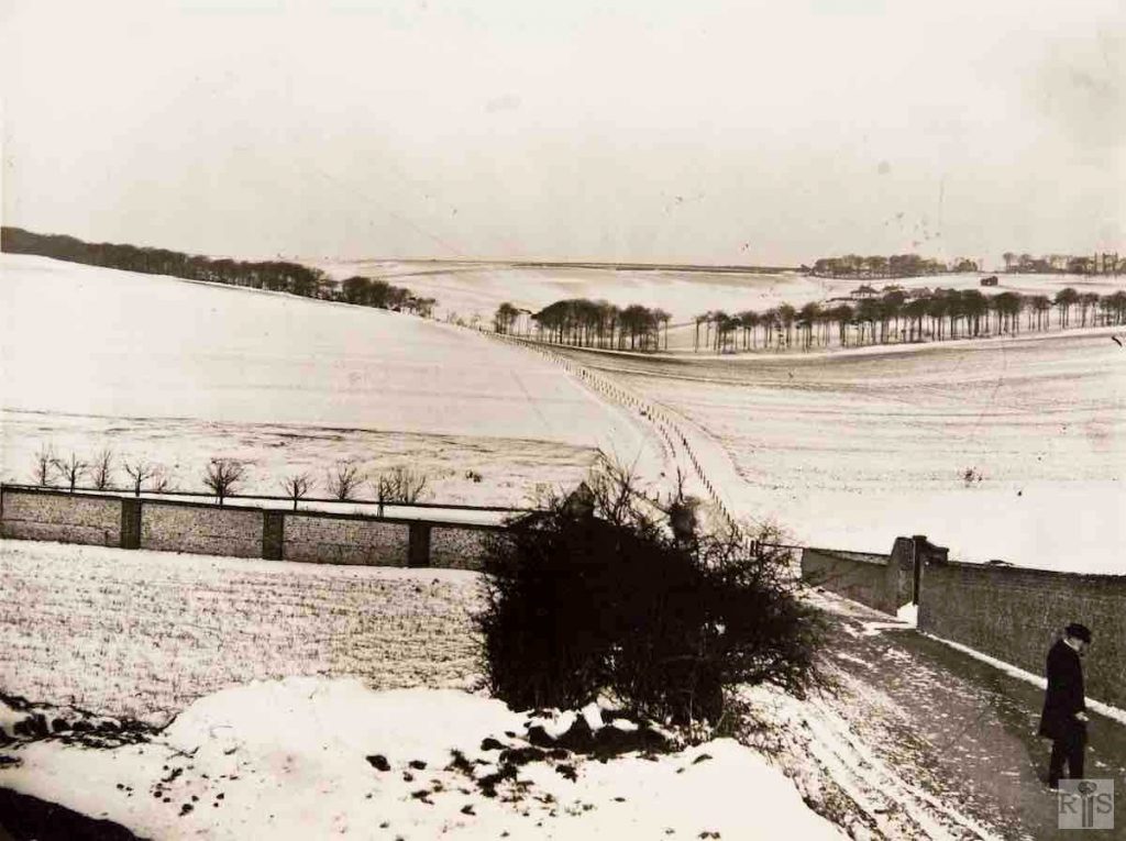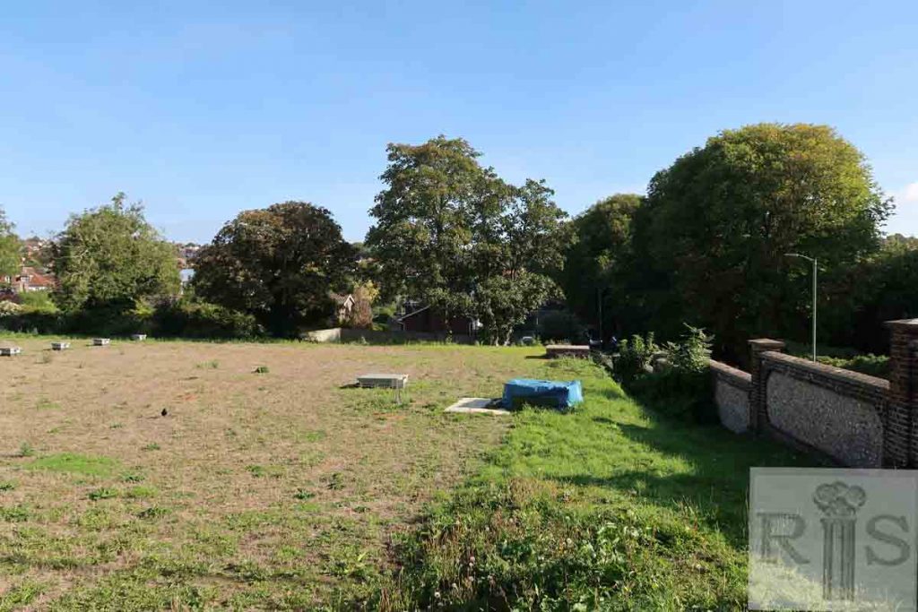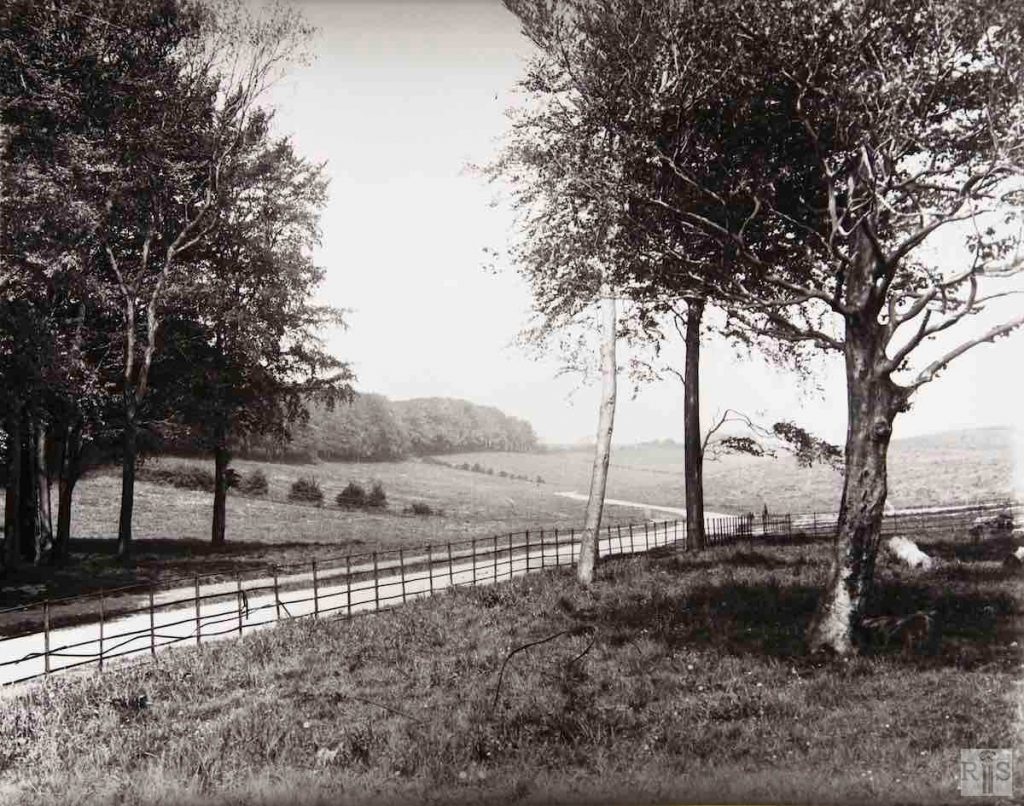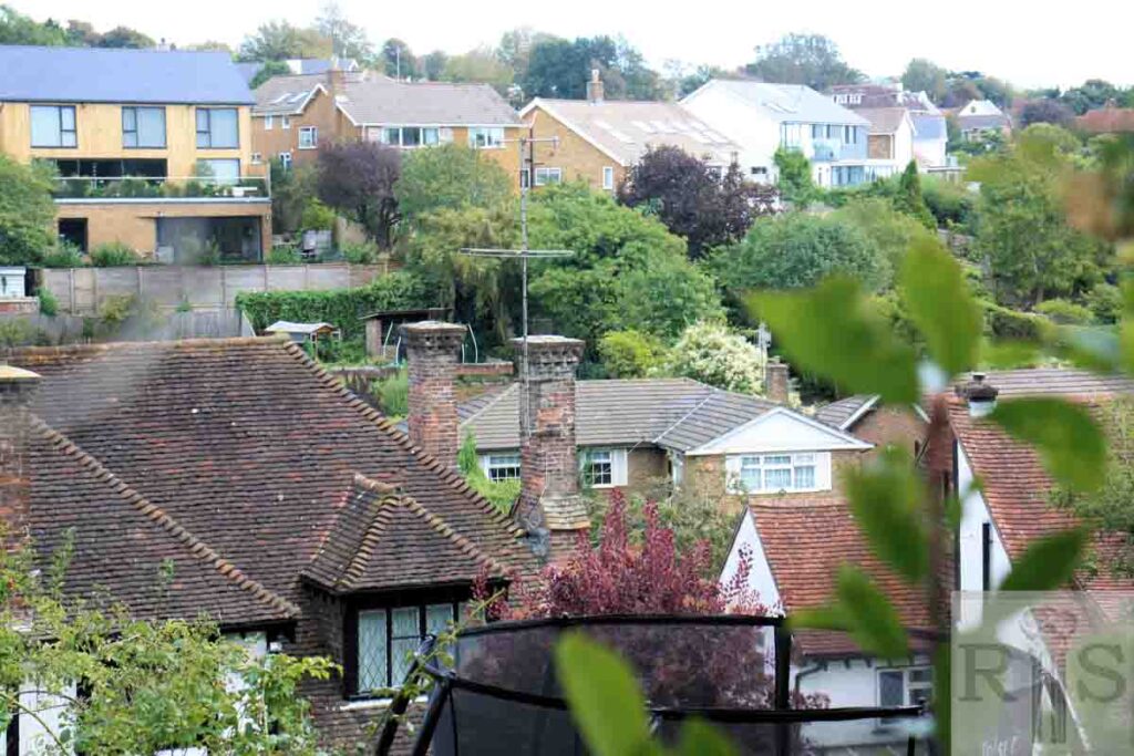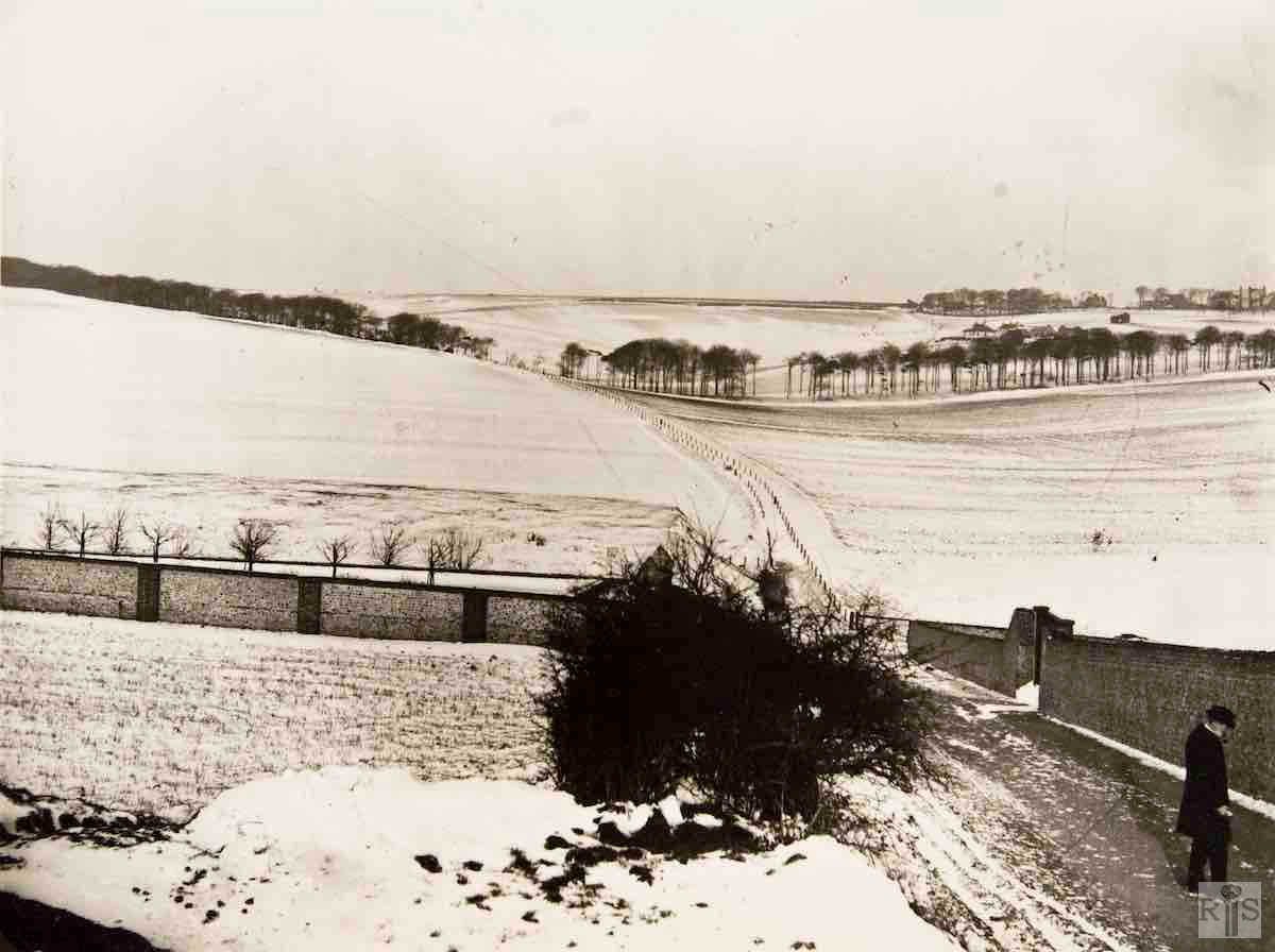
James Gray: This photograph was taken in January 1904 from a spot near the junction of the present Woodland Drive and Nevill Road. On the right can be seen the wall surrounding Goldstone Waterworks, unchanged to this day, and the right of way footpath leading to the Three-Cornered Copse. Beyond the trees are the buildings of Lower Tongdean Farm with the farmhouse screened by the semi-circular clump beyond. The iron railings on each side of the path, traces of which can still be seen at the west edge of the copse, acted as a dividing line between Tongdean Farm and Court Farm, West Blatchington. The double line of trees (not shown here) which now flank Woodland Drive by Hove Park were planted in 1906. The wall running away to the left can still be seen behind the houses on the north side of Nevill Road. jgc_17_134
James Gray: This photograph, although from a slightly different angle, provides an interesting comparison with that on the previous page. Lower Tongdean Farm, beyond the trees, is no longer completely isolated and there are a few houses in Tongdean Road, including Cordoba, the large Spanish style house on the left, built in 1929. Leading from Tongdean Road, on the right, is Meadow Close with just one house built. In the large field in the foreground, now the site of Goldstone Crescent, whippet races were held during the 1920s before the opening of the Greyhound Stadium. jgc_17_135
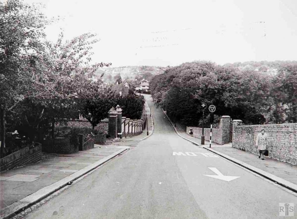
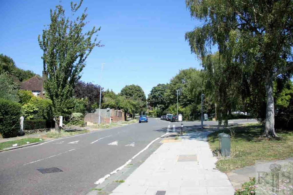
James Gray: Another illustration of the devastation caused by the great storm of October 1987. The photograph looks down Woodland Drive in the summer of 1965 and shows the magnificent range of trees in Hove Park overhanging the pavement. Fortunately some of these still remain but many were lost. At the left can be seen the flint wall running at right angles, which is clearly shown in the 1904 photograph of this road on another page, while the Waterworks entrance at the right seems unchanged. The Chartwell development further down the road was many years still in the future. jgc_17_137
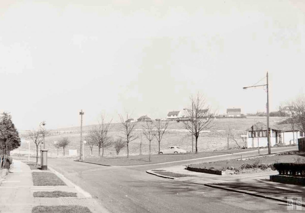
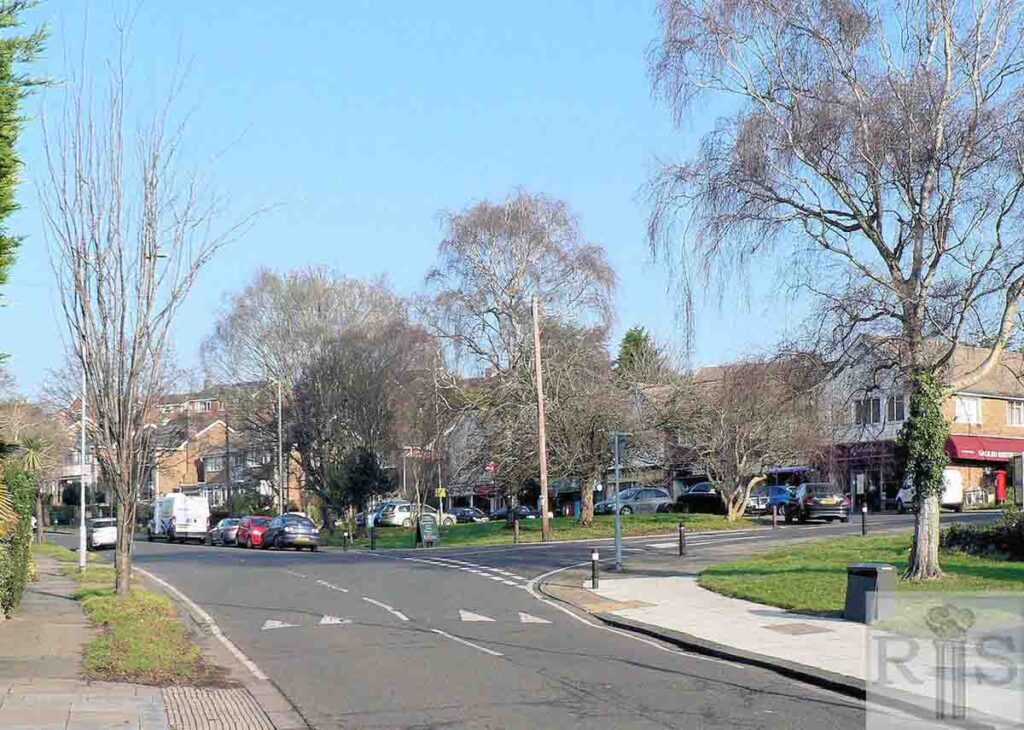
James Gray: At the junction with Shirley Drive before the construction of the parade of shops, opened in 1964. This photograph was taken on 5 March 1961. jgc_17_101
2018: Housing and the shops of Woodland Parade now fill the whole area beyond the lone car in the old photo. The bus stops for the old No 3 route, which took passengers up Woodland Drive from Shirley Drive to the terminus in Dyke Road Avenue, have long since gone. The red and black pillar box has survived, but is now across the road at the southern end of the Parade, close to Galileo restaurant. (Photographer: Alan Hobden)
James Gray: In May 1934, Hove Corporation bought the Copse, from the Curwen Estate, to ensure its preservation. Builders had already built this rough track (now Woodland Drive), when the photograph was taken on 9 May. The junction with what is now Shirley Drive can be seen on the right. jgc_17_100
2020: The foreground area shown in 1934 is now occupied by the front gardens of houses on the east side of Woodland Drive, so this photograph was taken a few yards further north. (Photographer: Alan Hobden)
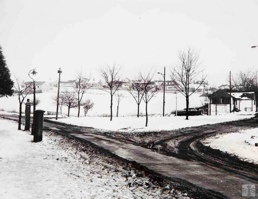
James Gray: February 1963, during the most severe winter of the present century. jgc_17_102
2018: The Police Public Call Post (seen to the left of the image) was later removed, but the adjacent pillar box is still located next to Galileo Restaurant in Woodland Parade. The building on the extreme right of the February 1963 photograph was removed later that year to make way for the parade of shops.
James Gray: From within the copse, looking between newly built houses in Woodland Drive and across the rising ground up to Hill Drive and Dyke Road Avenue. Houses now cover almost all of the open ground seen in these photographs. jgc_17_108
2020: The 1938 photograph of Woodland Drive shows the backs of the large houses at (left to right) Nos 94, 92 and 90, looking eastwards.
