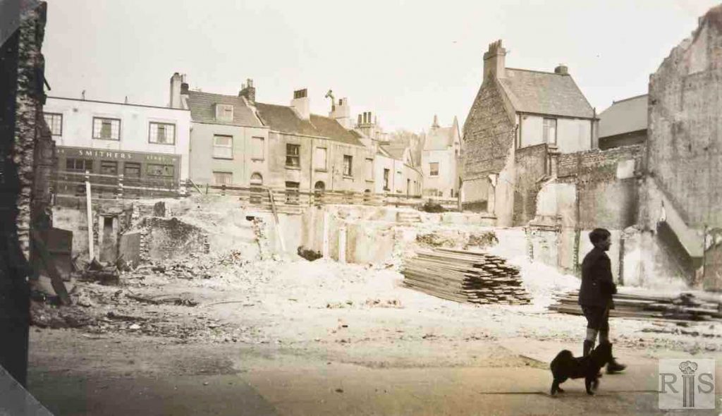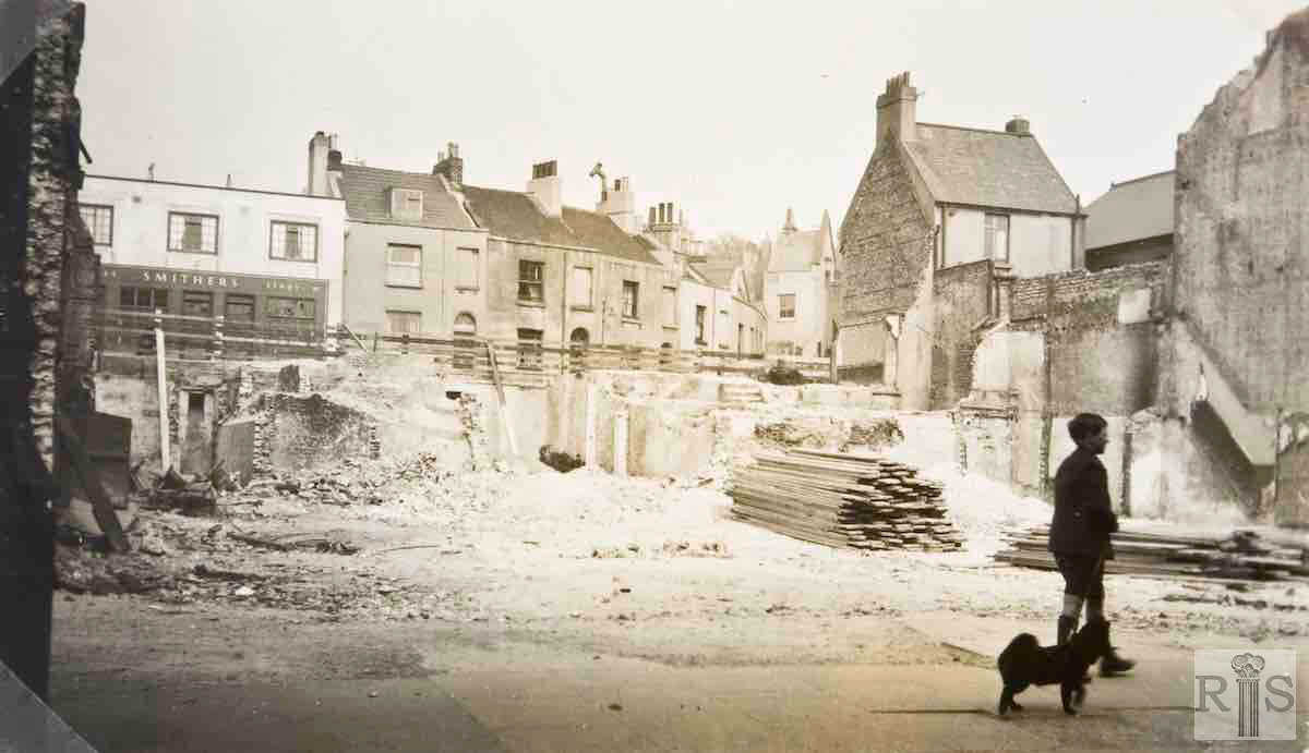
James Gray: A very ordinary little street with no claim to fame, it had one brief spell when it was exposed to the view of the thousands who thronged Western Road, many of whom probably were unaware that it existed. In 1932, when this photograph was taken several old buildings in Western Road had been removed to provide a site for the new Marks and Spencer’s store. Four houses in Regent Row were demolished at the same time. Additional Information: Little boy and his dog. jgc_26_254
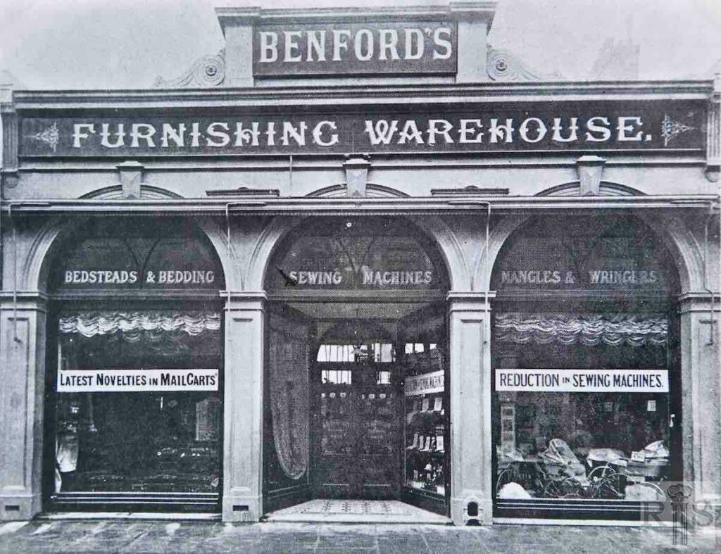
James Gray: Benford’s shop at 194 Western Road, in 1897. This had recently been built in the front garden of a large private house and Benford’s first occupied it in 1893. They were still there in 1930 when the building came down and was replaced by the present Saxone Shoe Company premises. jgc_19_094
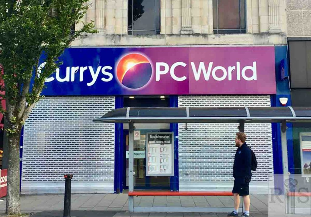
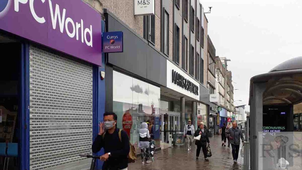
2020: The Saxone Shoe Company traded at 194 Western Road from 1932 for over sixty years. Currys PC World now occupies the site. (Photographer: Denise Taylor)
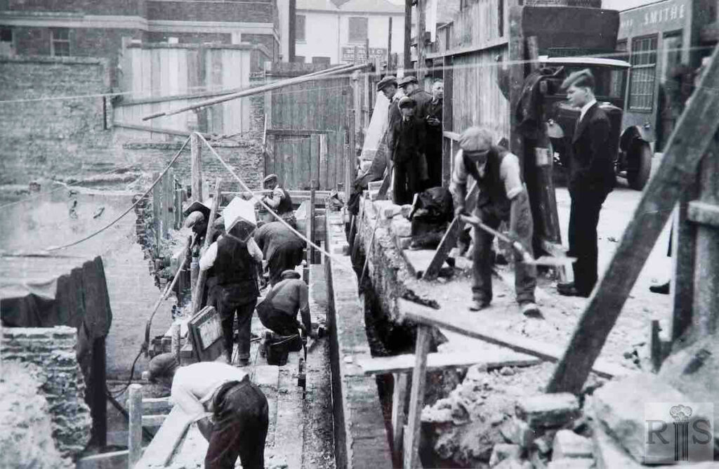
James Gray: Digging out and laying the foundations for the Marks and Spencer Store, in 1931. In this view Regent Hill can be seen in the background and there is also a glimpse of the Lathe Cleavers Arms, then a Smithers house. jgc_19_095
James Gray: Digging out and laying the foundations for the Marks and Spencer Store, in 1931. jgc_19_096
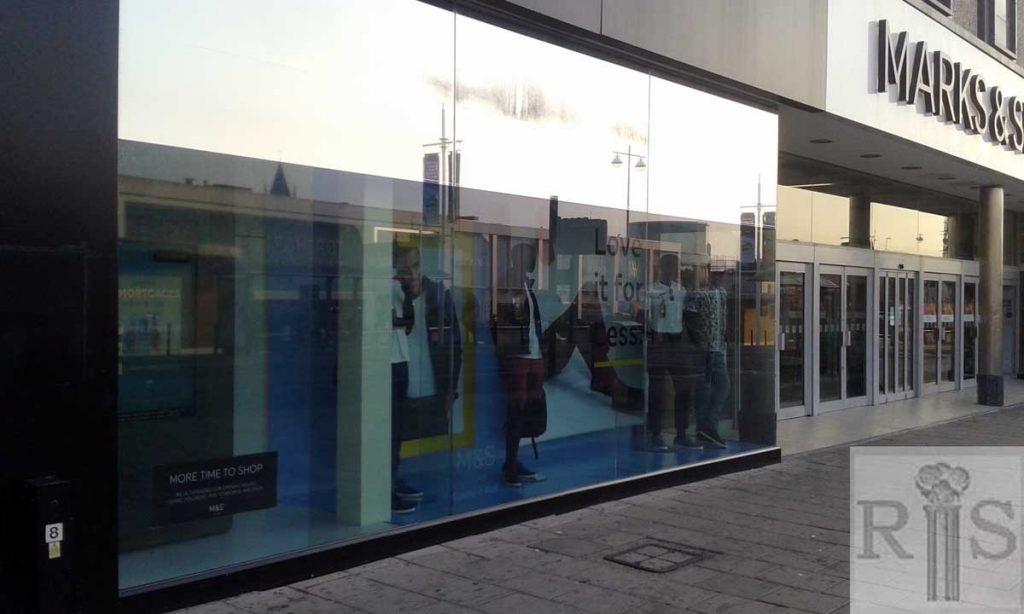
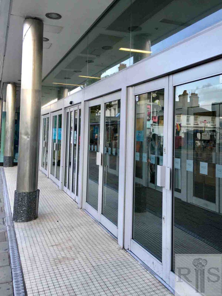
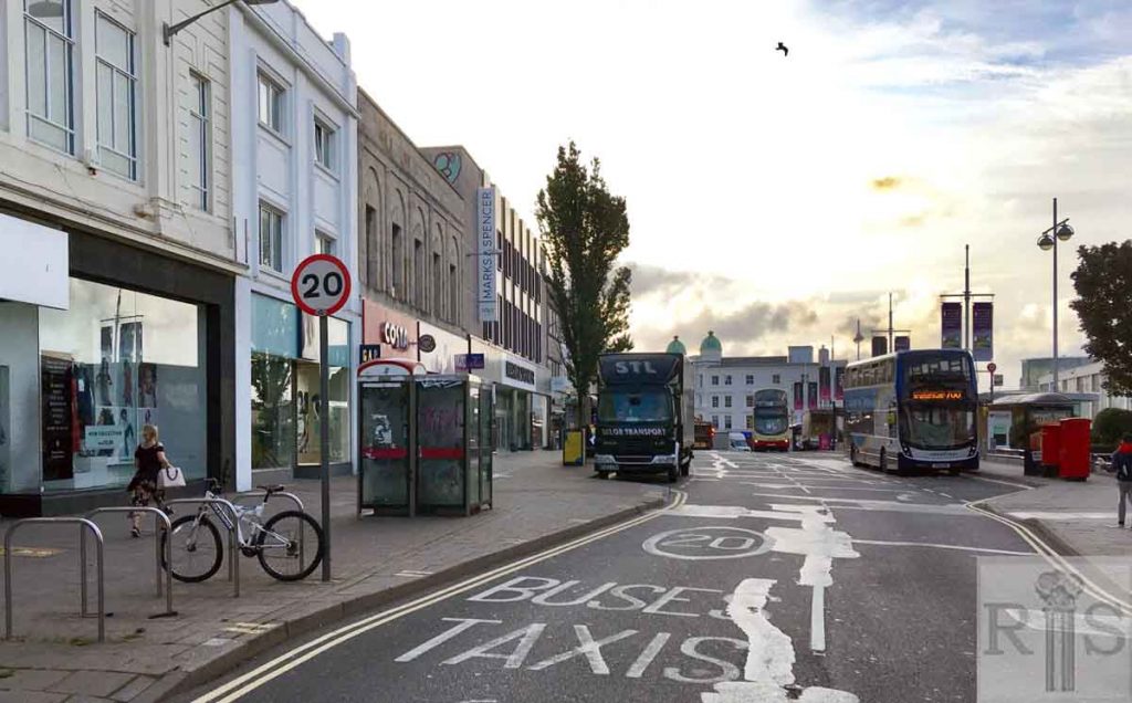
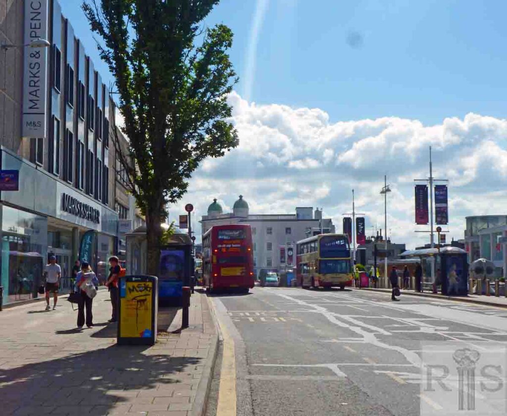
2020: The construction of the Marks and Spencer building exposed Regent Row to the north of the site. The road linked up with Regent Hill until 1952, when the M&S building was extended. It is now only accessed from Dyke Road. The Lath Cleaver’s Arms mentioned by Gray can just be seen on the right in the upper image from 1931. The updated image shows the main entrance to the store, facing Western Road. (Photographer: Denise Taylor)
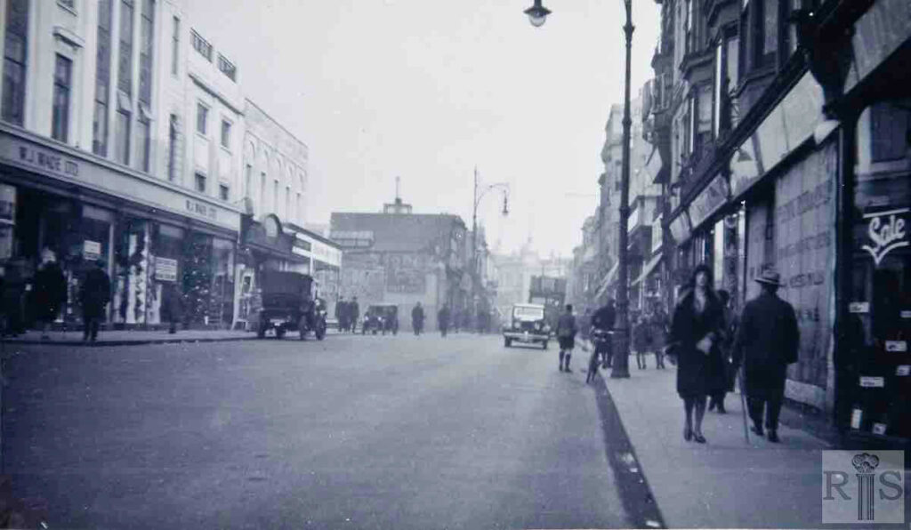
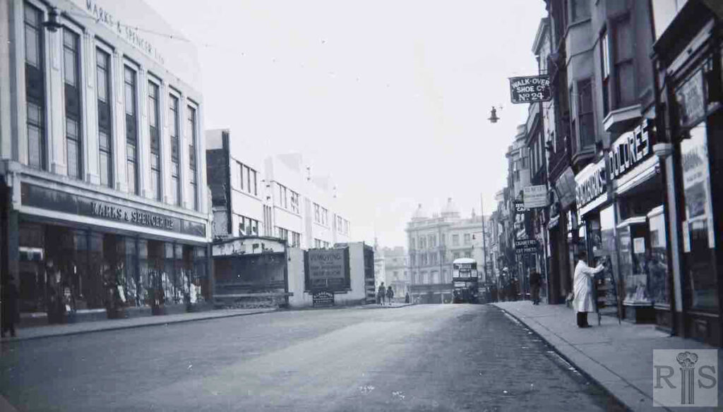
James Gray: Winter 1930. Transition from old to new. Wade’s are in their new premises and rebuilding has extended as far as 194. Nos 195/199, mostly occupied by Benford’s Ltd. are soon to be demolished and the cleared site used for the erection of Marks and Spencer’s store. At this stage the road was widened only to the intermediate line and shop fronts extended beyond the façades of the buildings. jgc_19_097
James Gray: 188/199 rebuilt. From Timothy Whites shop, No 200, to the end of Western Road, the roadway remained in its original narrow state and formed a very dangerous bottleneck. The projecting shop fronts of the new buildings have yet to be set back. jgc_19_098
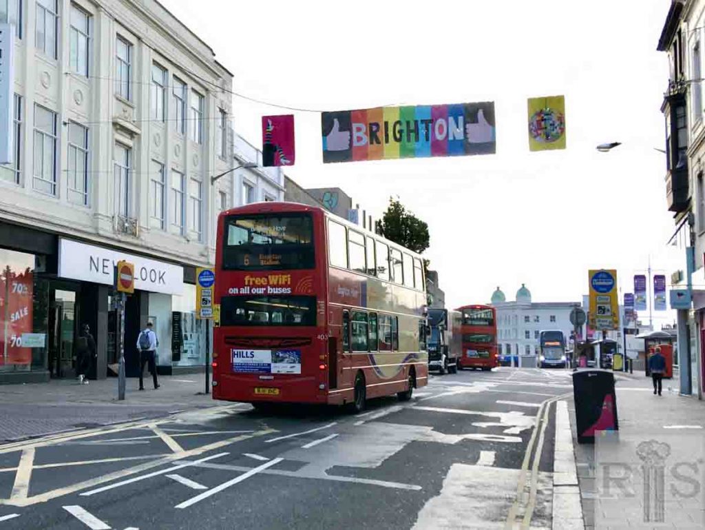
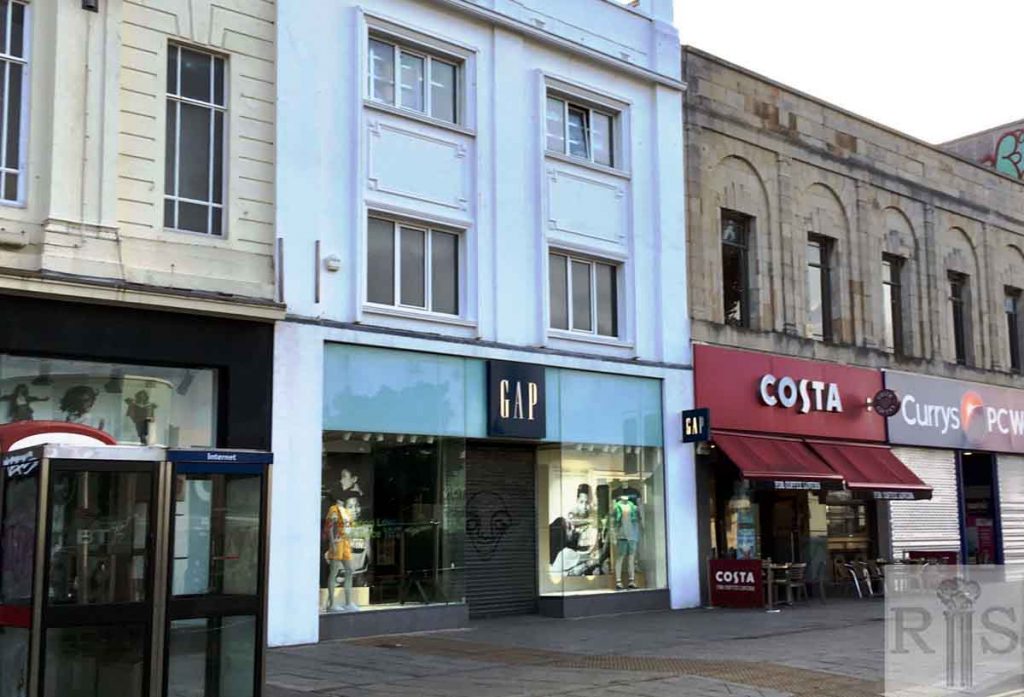
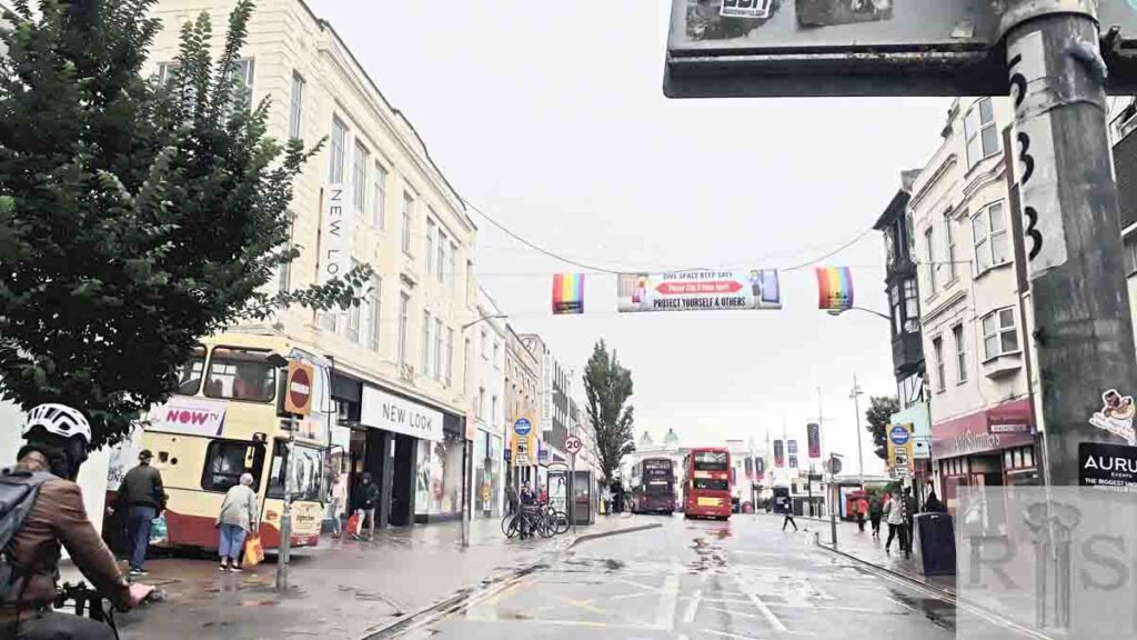
2020: The fashion retailer New Look on the extreme left of the 2020 image at 188-191 Western Road occupies what was Wades department store until 1979.
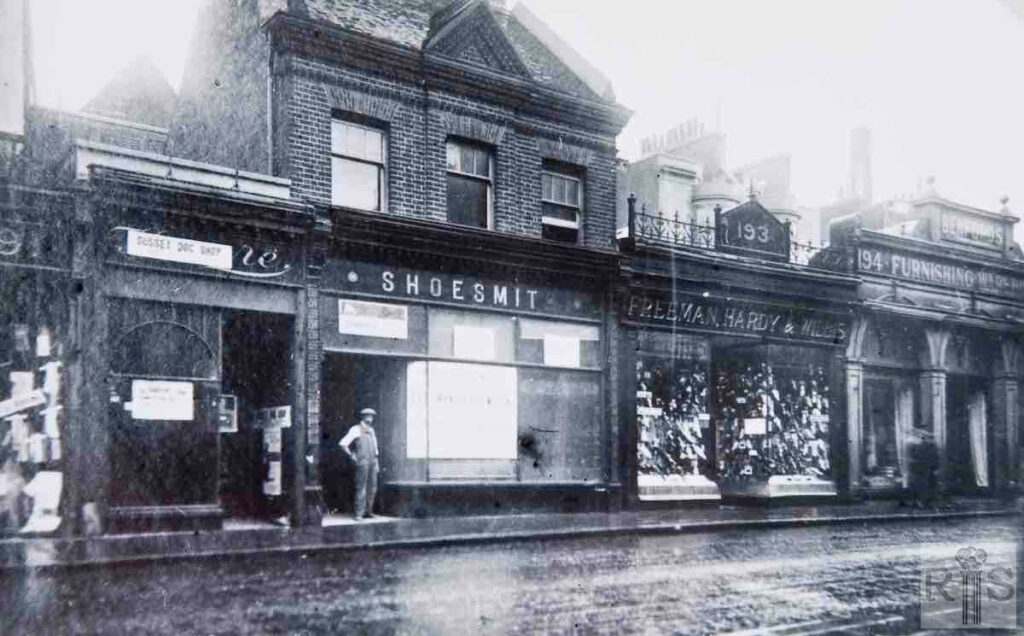
James Gray: 192,193, and 194, Western Road, on a wet day in July 1925. Freeman’s, who have just acquired the adjacent shop of Shoesmiths, old established corn merchants, are in the same position today as their rebuilt premises adjoin Wade’s. Note the original private houses behind the shop fronts and the chimney of Smithers Brewery. jgc_19_099
James Gray: 195-199 shortly before their demolition to make way for Marks and Spencer’s new store, built later in the year. 188-189 have been rebuilt and at the extreme left can be seen the new shop front of Saxone Shoe Co., set well back from the original road. One interesting feature is the old flint garden wall of 195 on which has been built a later wall, to enclose shop premises when these were built out over the front gardens of the old houses. jgc_19_101
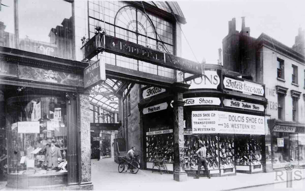
James Gray: The original Arcade, shown in these photographs [jgc_19_102 and 103], had a very short life of only 11 years. In 1923, the extensive premises of Smithers’ Brewery which covered a large area with frontages at 201 Western Road and 89/90 North Street, was demolished. The cleared site was utilised for the construction of this arcade of shops, curving from Western Road through into North Street. There were nine shops on the east side of the Arcade and eight on the west.
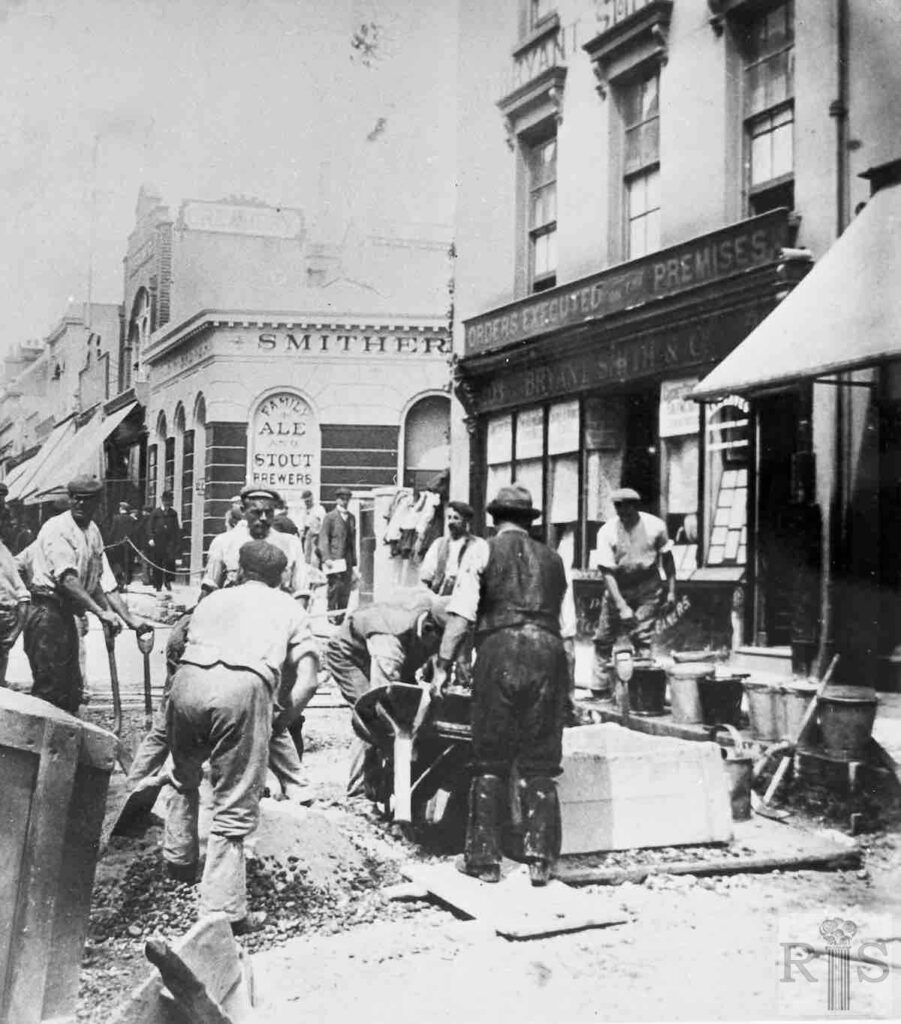
James Gray: Smithers Brewery, whose office was at 201 Western Road, had been here and in North Street since the 1840s. Standing back from the road was a cottage with a front garden, No 202, in which lived the Brewery Manager. No 203, Bryant and Smiths, was later acquired by Johnson’s, the Dyers, and in the large front room on the first floor, Friese-Greene later exhibited some of his early cinematograph films. Beyond Smithers premises, at No 200, was a dairy. The façade of this building can be seen unchanged in much later photographs. Smither’s Brewery was demolished in 1923, for the building of the Arcade, and all the other premises went in 1934-35, when Western Road was widened. jgc_19_104
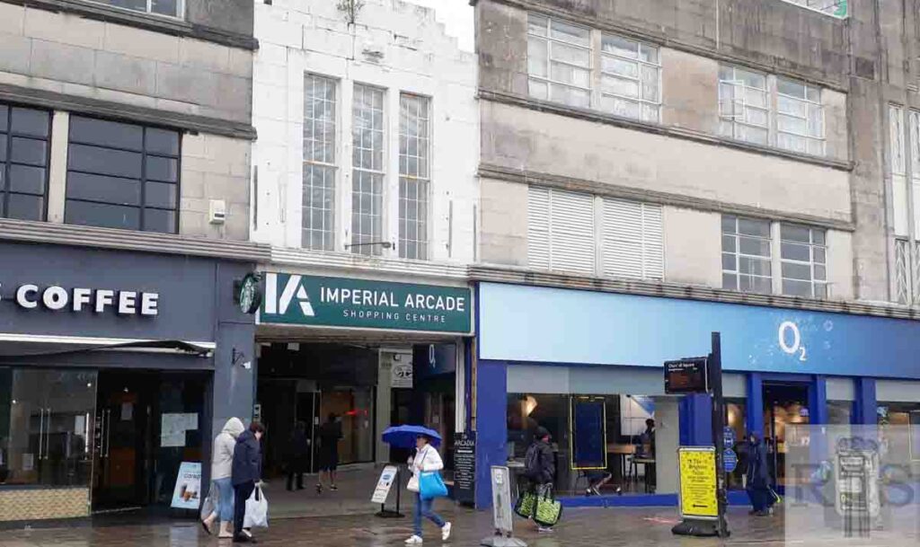
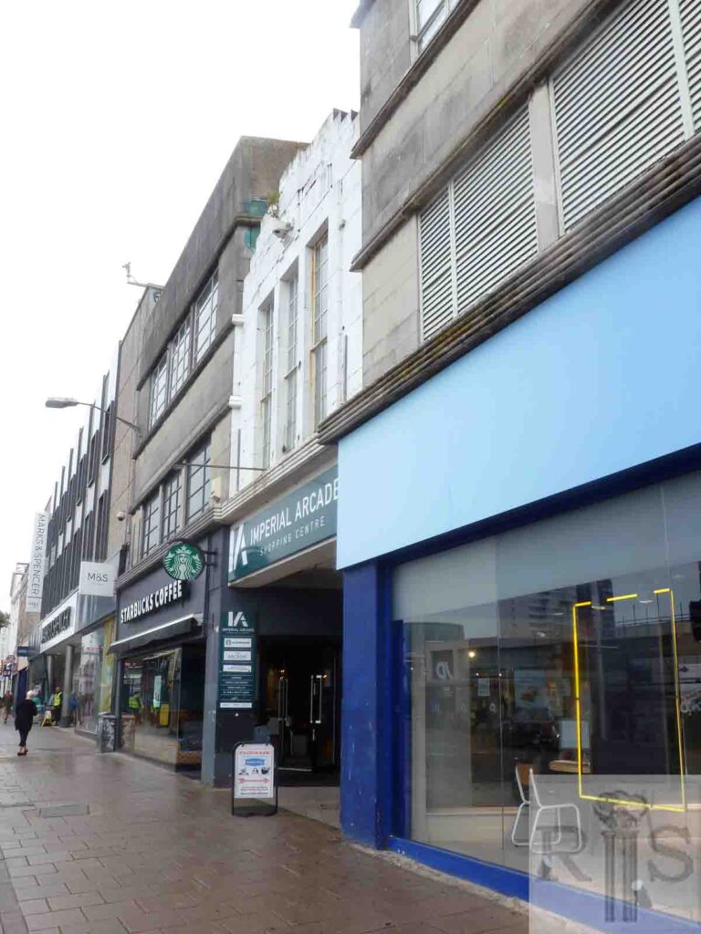
2020: The shop frontages are now set further back than they were in 1890.
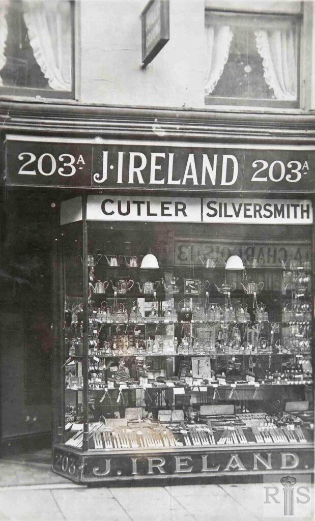
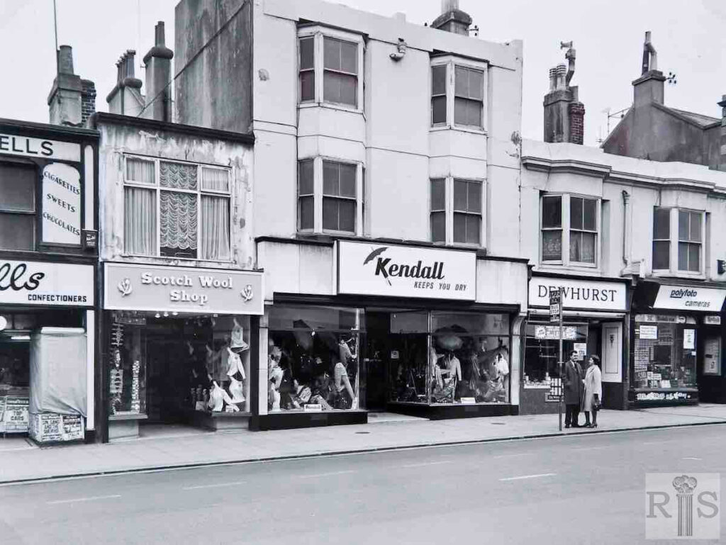
James Gray: Ireland, the Cutler’s shop in the early 1920s. The extreme narrowness of Western Road at this point is emphasised by the reflection in the shop window of the name-plate of the opposite shop on the other side of the road. This was the fancy goods shop of Miss Alice Chargois, at No 13, now forming part of Kendall’s umbrella shop. jgc_19_107
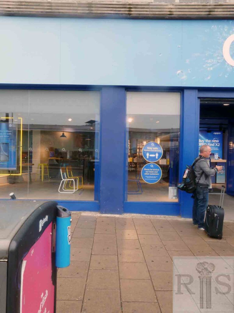
2020: The 2020 image illustrates how dull some contemporary shop fronts are compared to those of the 1920s. What was 203a Western Road is now part of the O2 mobile phone shop. Note the appeal to customers to maintain social distancing during the Covid-19 pandemic. (Photographer: Jane Southern)
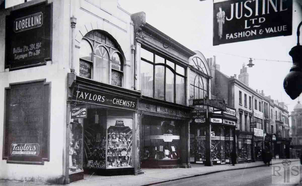
James Gray: A February view of Nos 200/212. Those shops beyond the Arcade are disposing of their stocks, by sales, as the buildings are soon to be demolished. Additional Information: Justine Ltd.
jgc_19_109
2020: As a result of the widening of this part of Western Road in the 1930s, the frontages seen in the 2020 image stand in what would have been the interiors of the buildings seen in the James Gray image.
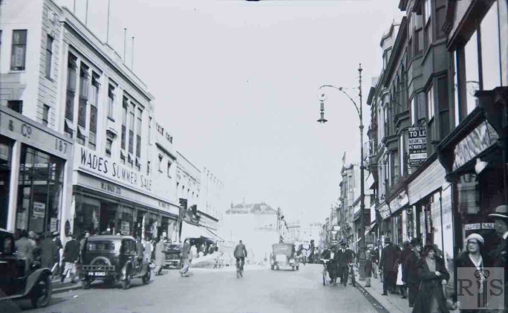
James Gray: Scenes of the widening at the eastern end, between Regent Hill and the Clock Tower. [See also jgc_19_116, 117 and 118 on the Western Road (1) page] jgc_19_115
2020: In the James Gray image Brigden & Co’s motor showroom projects out from 187 Western Road.
James Gray: The last chapter has been reached. With the demolition of No 200, Timothy Whites and Taylors premises, the work of ten years is ending. Nearly 600 yards length of old buildings have been removed and the roadway almost doubled in width. Beyond the projection can be seen Taylors new premises and the new entrance to the Arcade. The cleared space was used for an extension to Marks and Spencer’s store, which completed the rebuilding. jgc_19_121
2020: The buildings on the south (right) side of Western Road in the 1936 image extend to number 27, the last but one to be demolished in the late 1960s for the building of Churchill Square.
James Gray: 8-16 Western Road. The Rudledge family occupied No 12, the Scotch Wool Shop, for more than 80 years. The business of stay and corset makers was started here in the 1860s and the family lived in the little house behind 11 Grenville Place. In 1947, the business closed and this tiny shop with only a 13’ frontage was sold at auction for £14,100. jgc_19_161
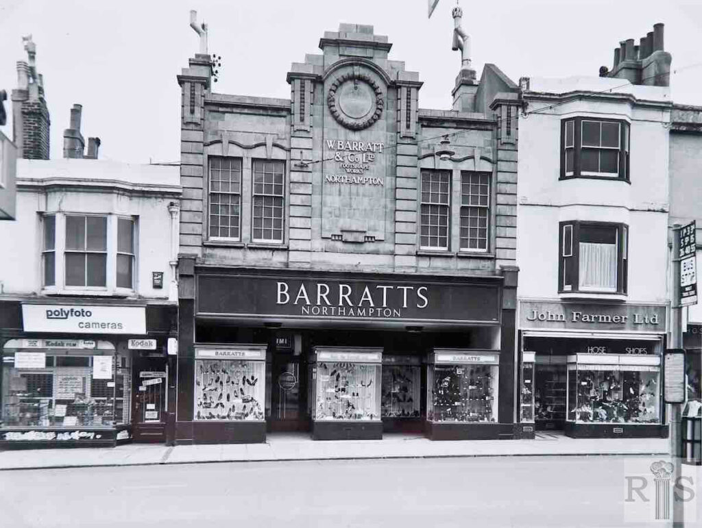
James Gray: 16-22 Western Road. Unlike the others, Barratts was a comparatively modern building having replaced much older shops in 1923. The remainder were built in the late 1840s, some years after most of Western Road. jgc_19_162
James Gray: See caption for jgc_19_162 above. jgc_19_163
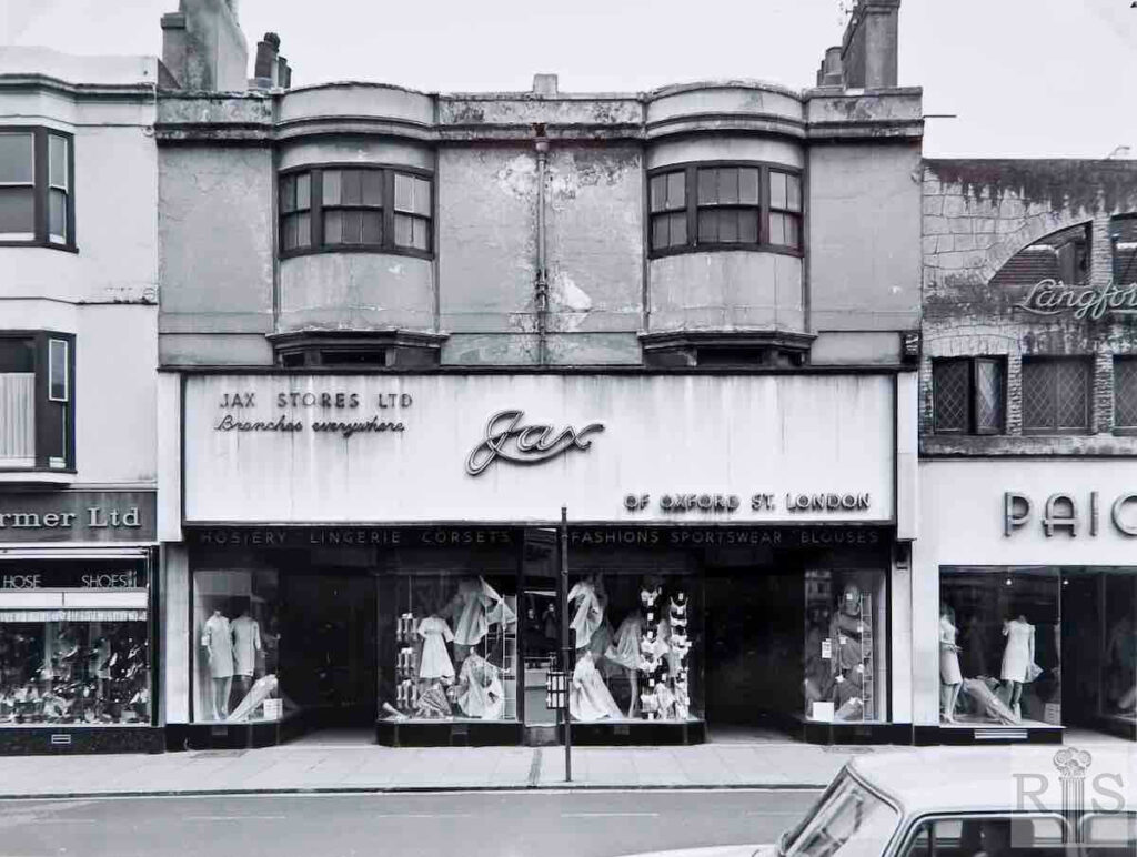
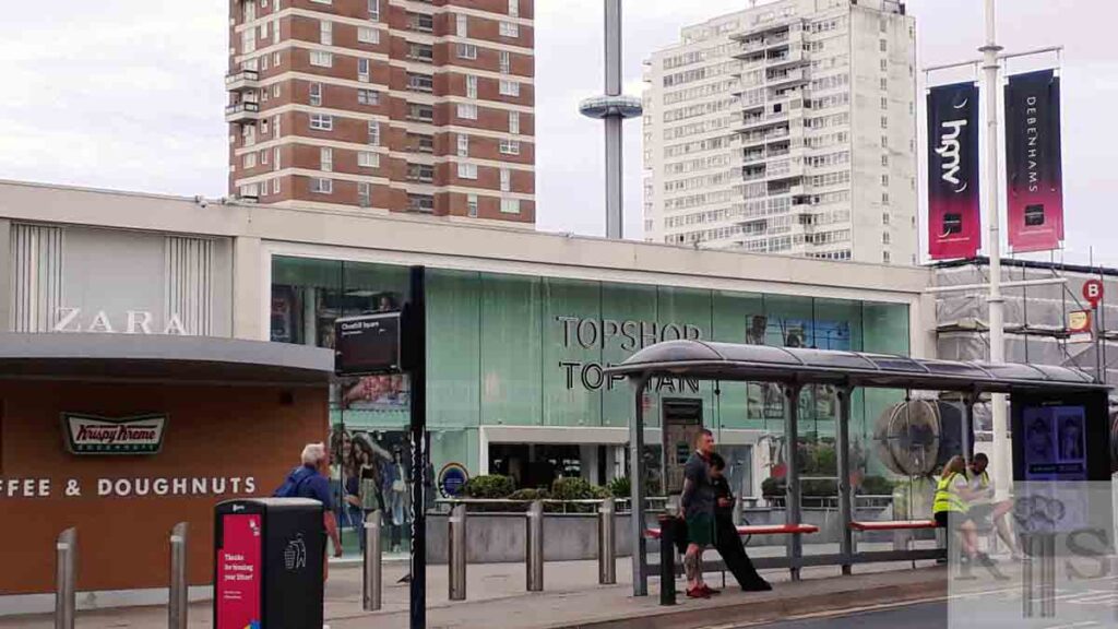
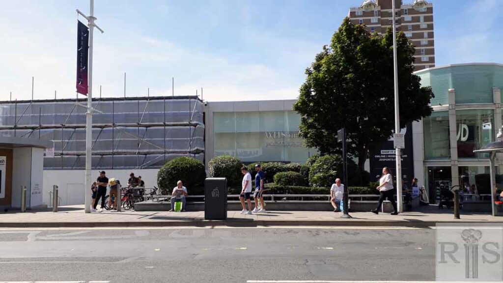
2020: The buildings in the James Gray images were all demolished shortly after the photographs were taken to make way for the Churchill Square shopping mall seen in the 2020 image after its 2018 makeover.
James Gray: The last of the doomed buildings, 22-25 Western Road, with the hoarding around the cleared site of 26, the building at the corner of Clarence Street. This one ‘got away’ as it came down so quickly that it was demolished before I got to hear about it. jgc_19_164
2020: See caption for jgc_19_161, 162 and 163 above. (Photographer: Jane Southern)
James Gray: See caption to jgc_19_164 above. jgc_19_165
2020: 1-28 Western Road were all demolished to make way for the Churchill Square shopping mall.
James Gray: The start of the clearance of old shop properties at the extreme eastern end of Western Road, prior to the revealing of the vista of the new Churchill Square which had been in progress in the rear for some time. This photograph clearly shows how the one time separate houses of Western Road and Grenville Place had, over the years, been joined together to give greater depth to the ground floor shops. These photographs, as well as those nine on the previous four pages, were taken on 19 March 1967. [See other 1967 images on this page and the Western Road (1) page.] jgc_19_167
2020: See caption for jgc_19_165 above. (Photographer: Jane Southern)
