Historic and Contemporary Images of Brighton and Hove
Based on the Regency Society James Gray Collection
  • Home page
    • James Gray
    • Project volunteers
    • Acknowledgements and copyright
    • Contact us
  • Master map
  • Street Index
  • Find a place
    • Neighbourhoods
    • Images of the seafront
    • Parks and Open Spaces
    • Redeveloped areas
    • Royal Pavilion Estate
    • Brighton Station
    • Street Index
HANGLETON

West Way

Neighbourhood:
Hangleton
1959
1940s
2019

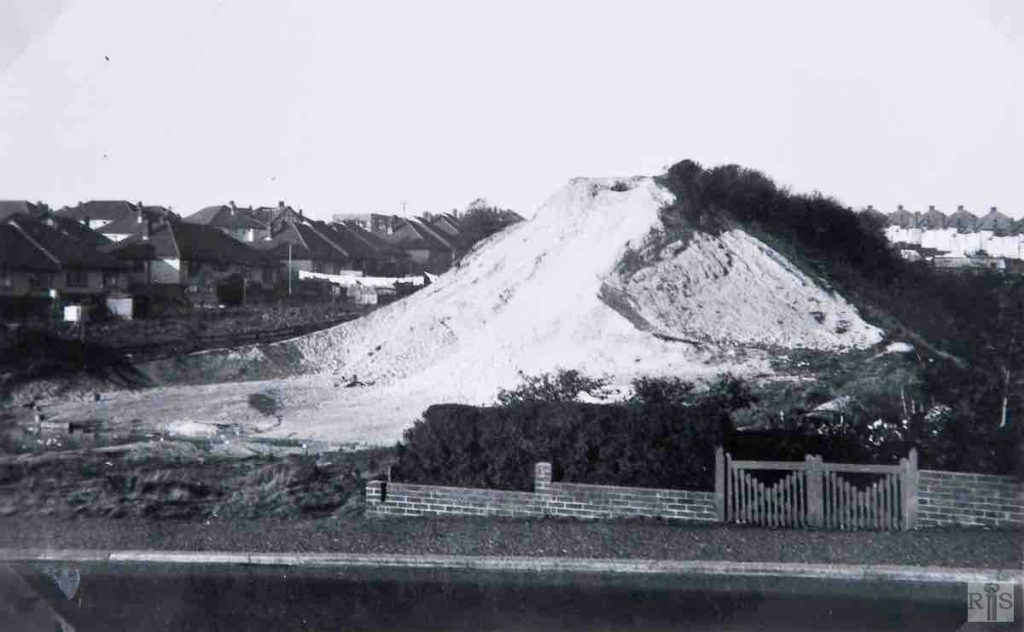
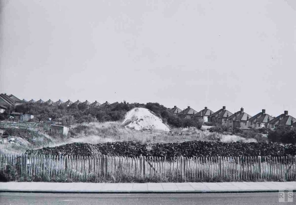
James Gray: Removal of the chalk embankment of the Dyke Railway in progress. At this spot the railway formerly crossed West Way on a narrow brick arch, removed in 1943. jgc_37_120

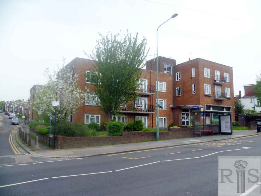
James Gray: Many years ago, when the railway was in operation, it crossed West Way – right – then a farm track, by a high bridge and embankment (see large photograph on a previous page). The bridge went during the 1939-1945 War and in succeeding years the chalk embankment was gradually removed. Flats for the elderly have now been built on this cleared site. Date of the photograph – 26 July 1959. 200 yards to the north, the railway entered a cutting, which passed under a narrow farm accommodation bridge (now Northease Drive – see jgc_37_119 on the Northease Drive page).

Photographs of this bridge appear on other pages. For years afterwards the cutting was used as a tip until it was filled up. Council flats are now to be built here. [See also jgc_37_143 and 144 on the Northease Drive page.] jgc_37_142

2019: A library, opened by Queen Elizabeth II, was built on the site in the early 1960s together with housing running up the old railway line to Hangleton School. (Photographer: Mark Stephenson)

More
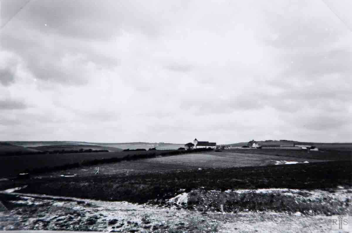
1937
2019

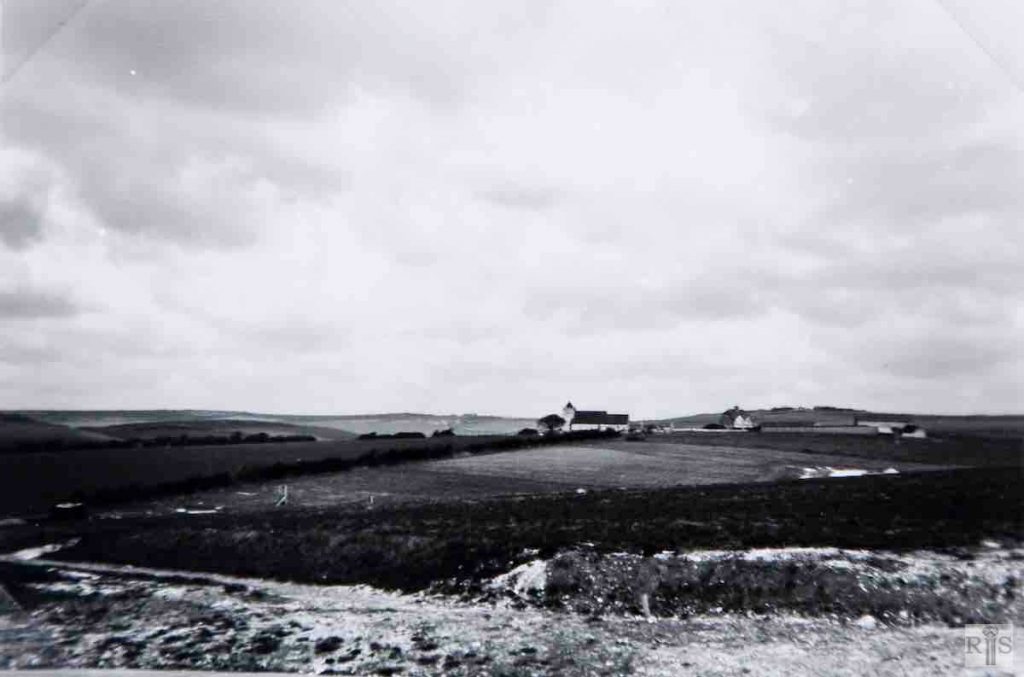
James Gray: The caption for these photographs are in the photographer’s own words, written at the time. My comments are in brackets. View of Hangleton, from the trackway to the south-east. jgc_37_044

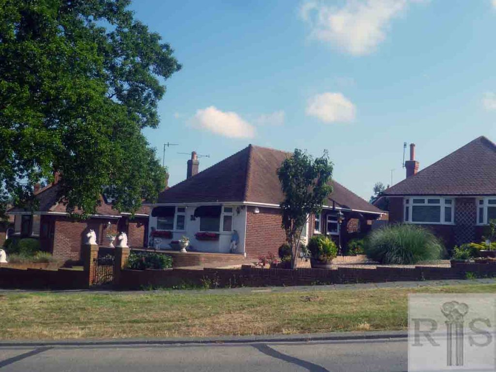
2019: Housing has been built for a mile to the north from where the original image was taken. (Photographer: Mark Stephenson) 
Historic and Contemporary Images of Brighton and Hove
This website has been prepared by the Regency Society of Brighton and Hove. All historic maps are provided with kind permission of the National Library of Scotland (https://www.nls.uk/) regencysociety.org

Search