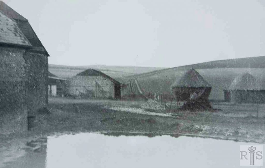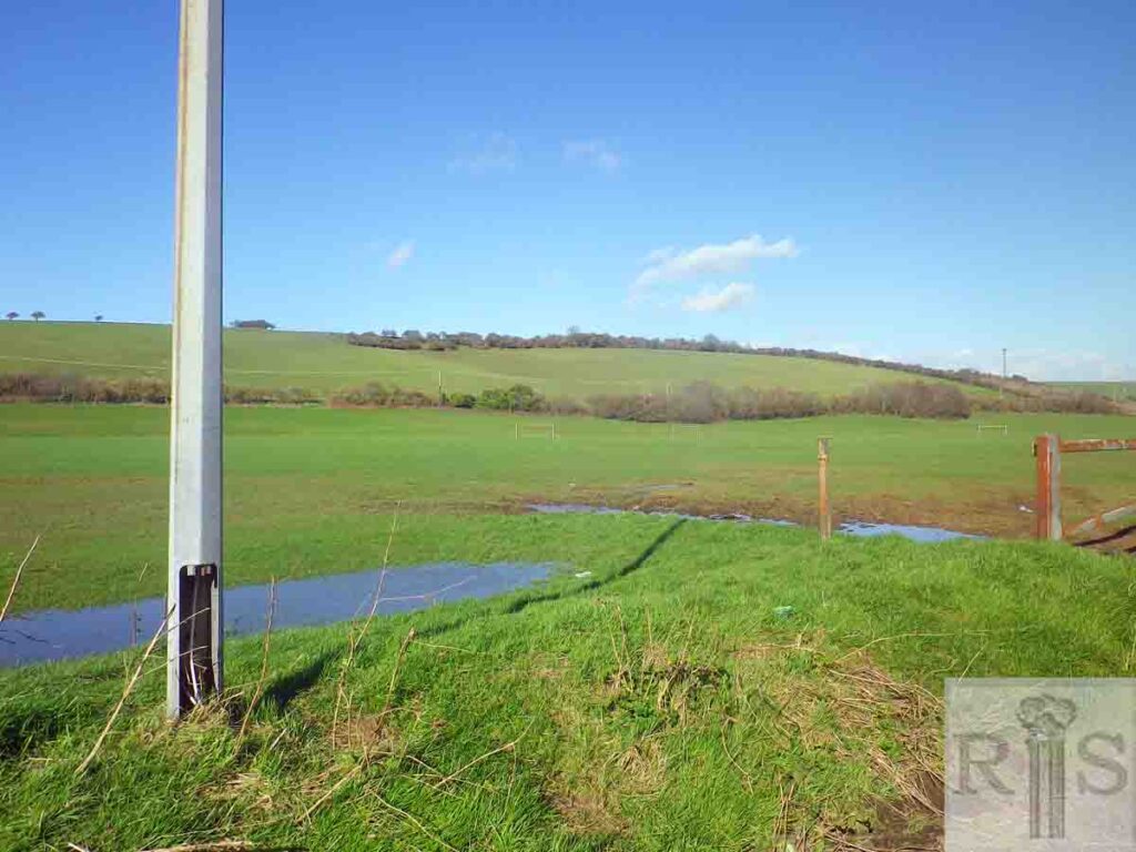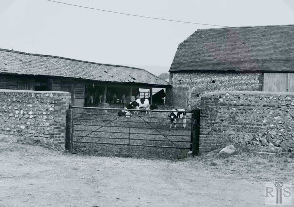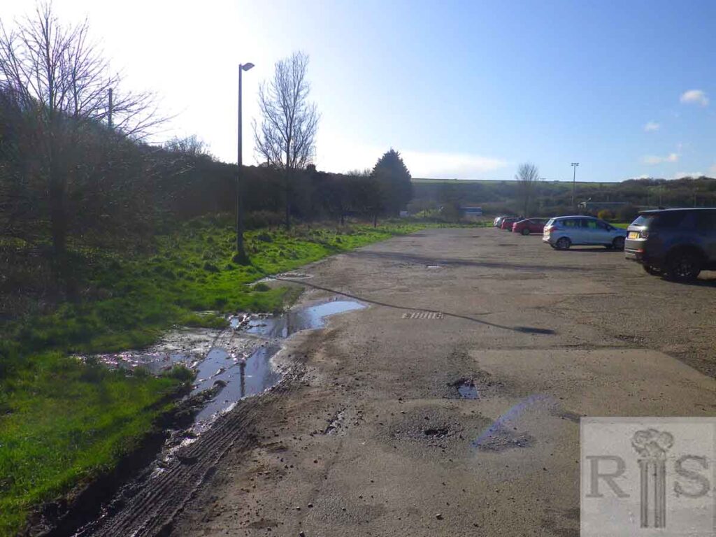
James Gray: Pond and farm buildings, Waterhall Farm. No doubt as to date this time. March 1931. Now in 1963 the pond has dried up and the hayricks have gone, but otherwise the view is identical. jgc_35_161
2019: Waterhall Farm no longer exists. The position of the Brighton bypass between Mill Road and Waterhall Road means that it is difficult to replicate many of Gray’s scenes of the area today. (Photographer: Chris Nichols)
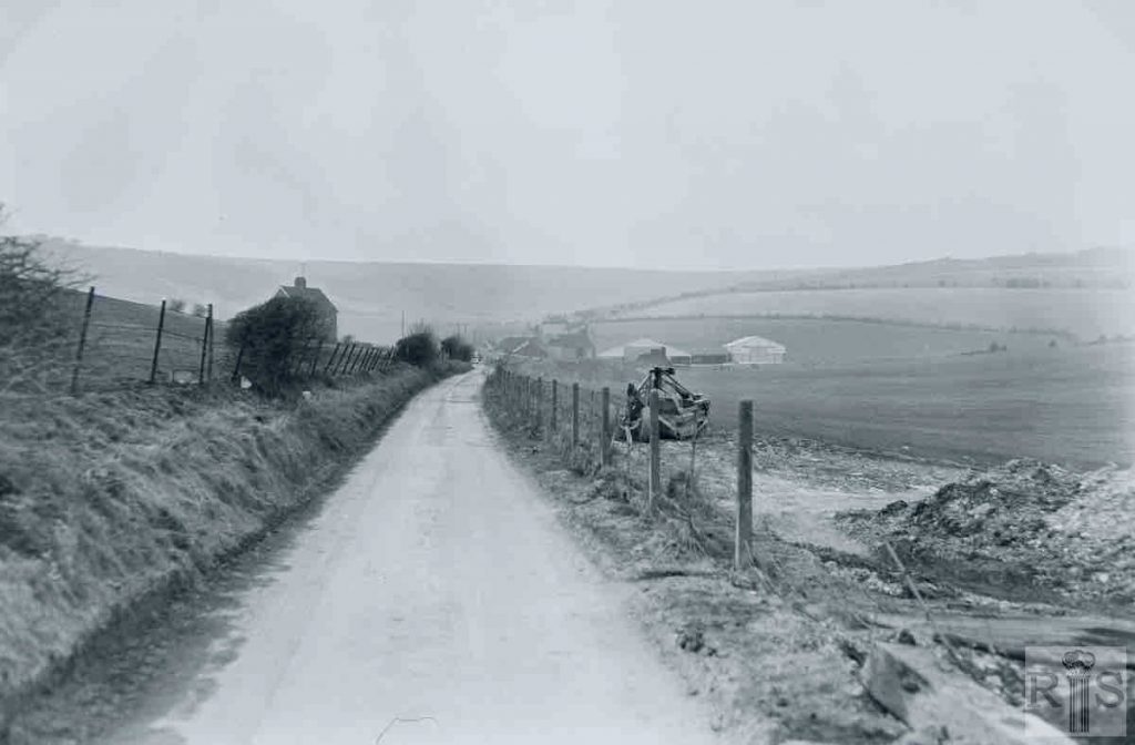
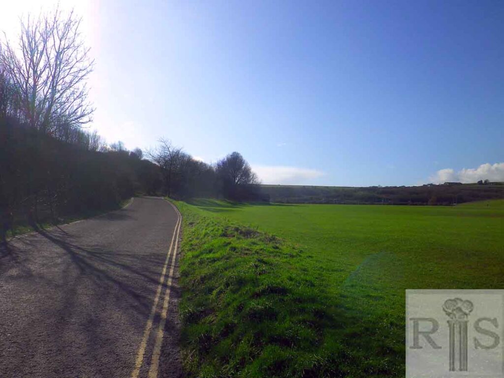
James Gray: For many years the land seen in these three photographs [jgc_35_162, 163 and 164] was part of this extensive farm and the farm buildings can be seen in the distance in this photograph. In 1966 the Corporation commenced the second stage of laying out Waterhall Park by purchasing a large area of the farm. Filling in the valley in progress, [on] 3 March 1968. The mounds of earth came from the deep excavations for the Regency Square car park. jgc_35_162
2019: Gray’s photograph appears to be looking west, with what could be some of the old farm on the right-hand side. (Photographer: Chris Nichols)
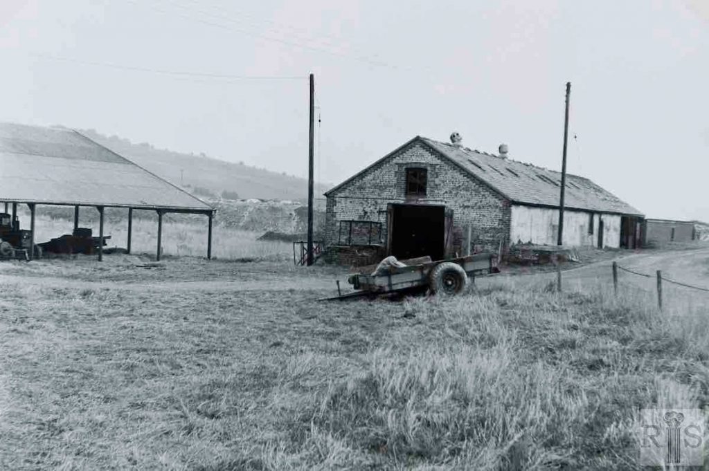
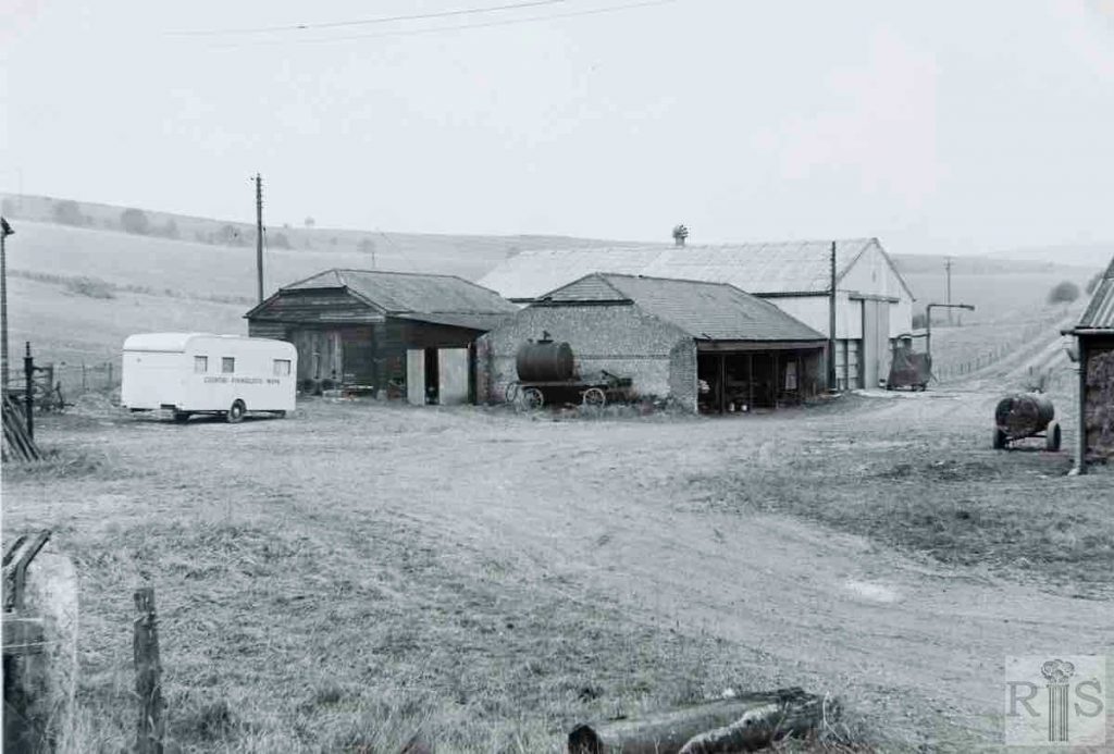
James Gray: Some of the last links with this old farm. The barns and other farm buildings sheltering under the lea of the Waterhall Golf Club. These photographs were taken on 22 March 1970, when the new Waterhall Park was slowly creeping up this valley. By 1972 all buildings had gone and before long the extended park will have covered this site. jgc_35_170
2019: Again, it is difficult to replicate this scene today because the farm buildings have all been demolished. (Photographer: Chris Nichols)
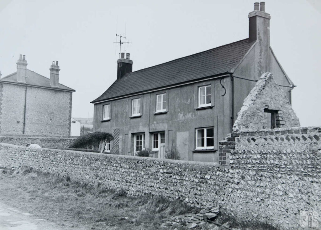
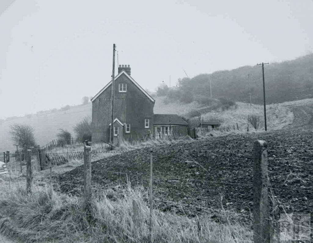
James Gray: This old farm, once quietly self-contained in its remote fold of the South Downs, has more and more come under the threat of spoliation. First the widening of Mill Road in 1930, then the growth of Waterhall Golf Club and finally the decision of Brighton Corporation to lay out a large area of the farm as playing fields. Here are three photographs of the farm cottages [jgc_35_167, 168 and also 169 below] which housed some of the workers, and which faced on to the track leading up to the Golf Course. Photographed on 22 March 1970, they were demolished in April and November 1971. jgc_35_167
James Gray: [See caption for jgc_35_167 above.] jgc_35_168
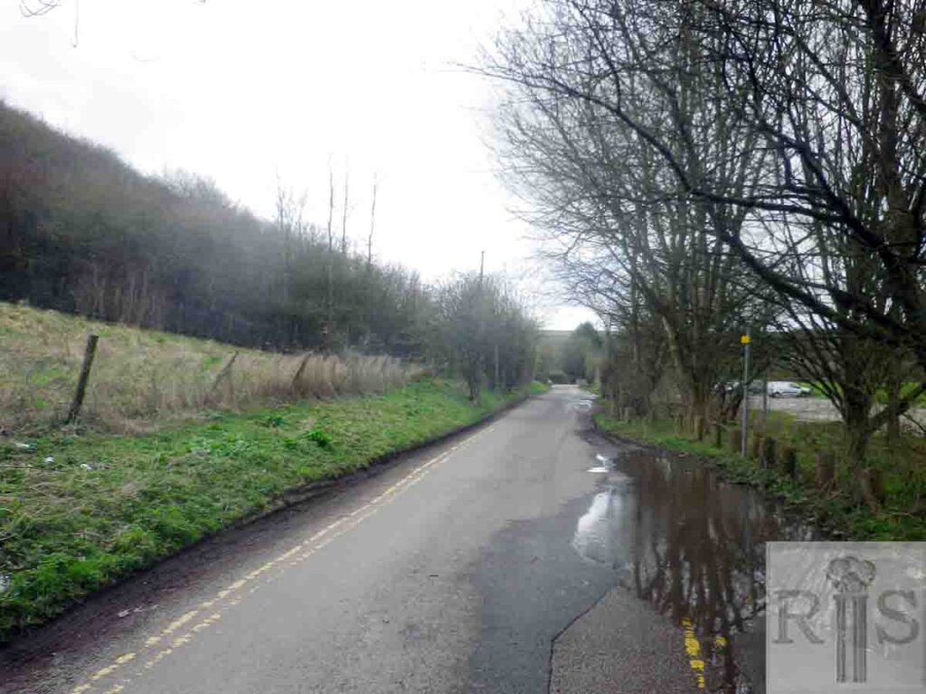
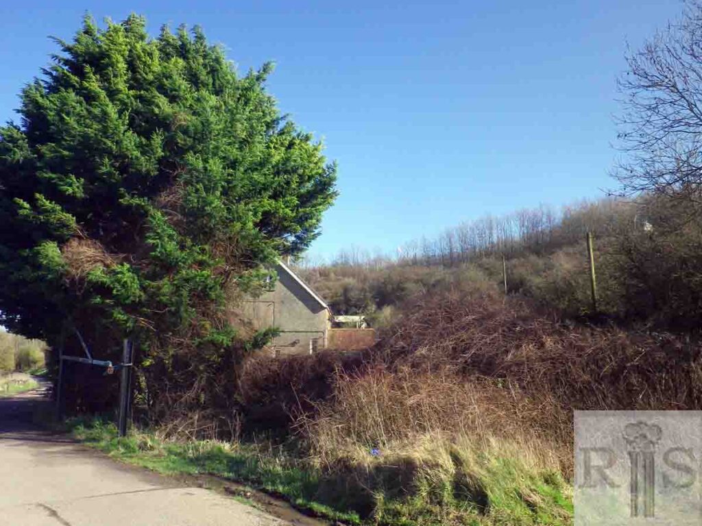
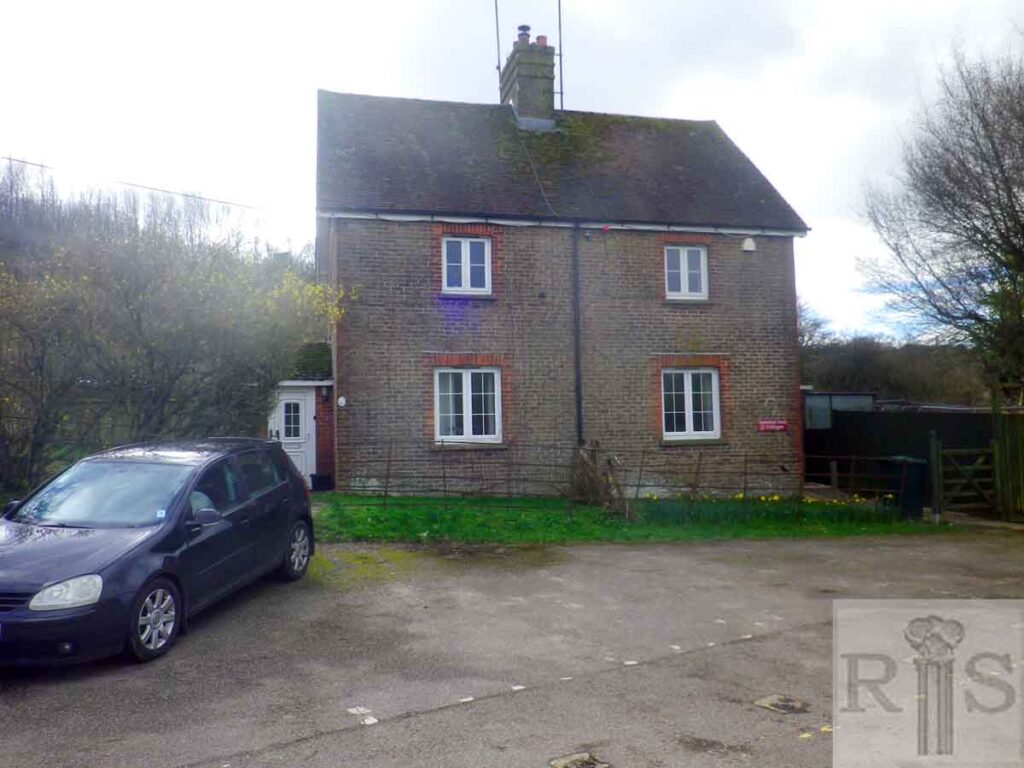
2020: The dwellings shown in Gray’s images were indeed demolished but there are still some buildings on the current road called Waterhall Farm Cottages, as shown here. For further information see jgc_35_173, 174 and 175 below. (Photographer: Chris Nichols)
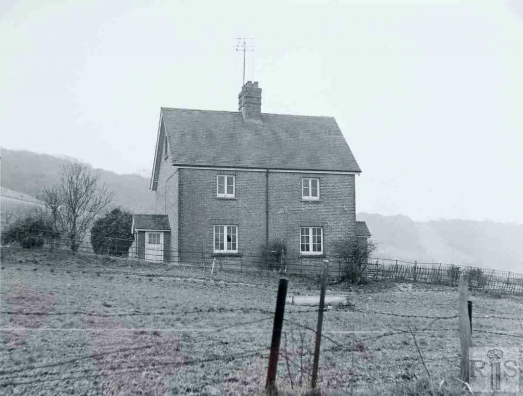
James Gray: These farm cottages, known as 1 and 2 Waterhall Farm Cottages, were not as old as those [jgc_35_167, 168 and 169] seen on previous pages, but were probably built as the farm extended. However they outlived the others and were used for council housing after this land ceased to be farmed. In fact, they remained for some years but will doubtless go when the Brighton bypass is built in this area. Photographed on 22 March 1970. jgc_35_173 and 174
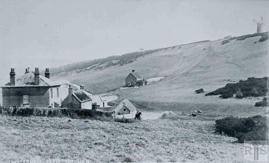
James Gray: View of the farm buildings and cottages, looking east, the exact year of the photograph being unknown. Even the contours of Mill Road do not provide a positive clue, but the generally trim appearance of the windmill suggests a date about the late 1920s or early 1930s. jgc_35_175
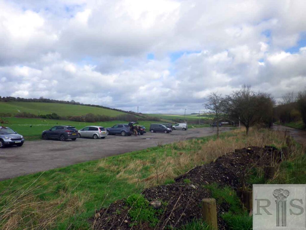
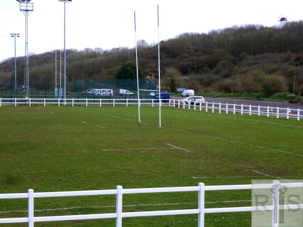
2020: Following the demolition of Waterhall Farm, the playing fields which had been laid out in the valley since the 1950s were extended.
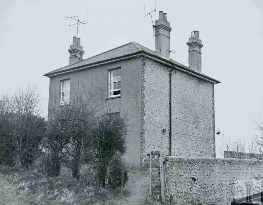
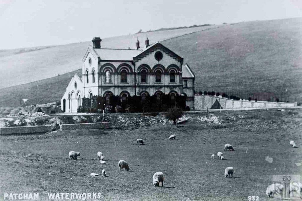
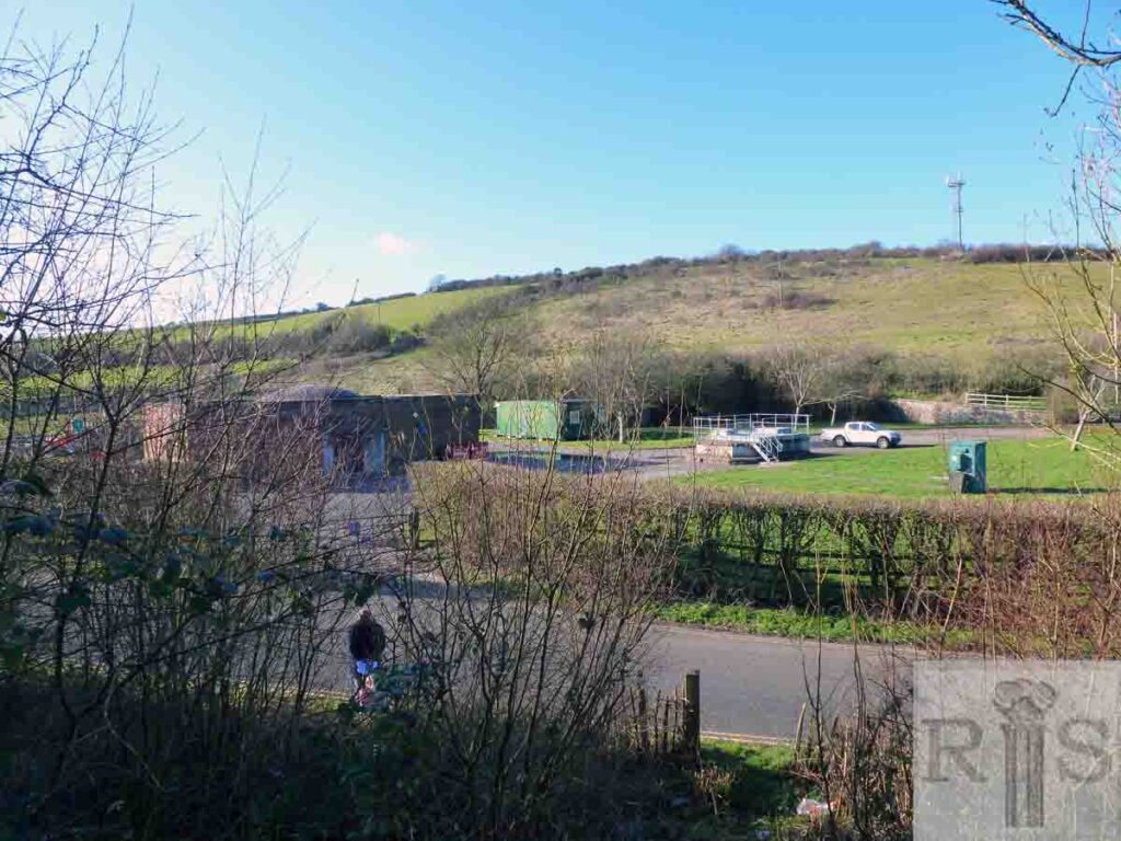
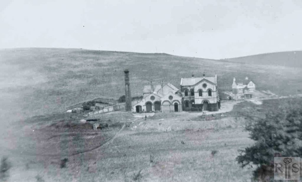
James Gray: This photograph shows the waterworks as it was about 1920 and somewhat different from the present day. There was a major reconstruction here in 1927-8. The old engine was taken out and replaced while the chimney was demolished. The new chimney was built to a much higher height. jgc_ 35_190
2020: The view from the bank between the A27 and Waterhall Road, which now extends beyond the pumping station to the east. The flint wall to the right of the original pumping station is still there. (Photographer: Jane Southern)
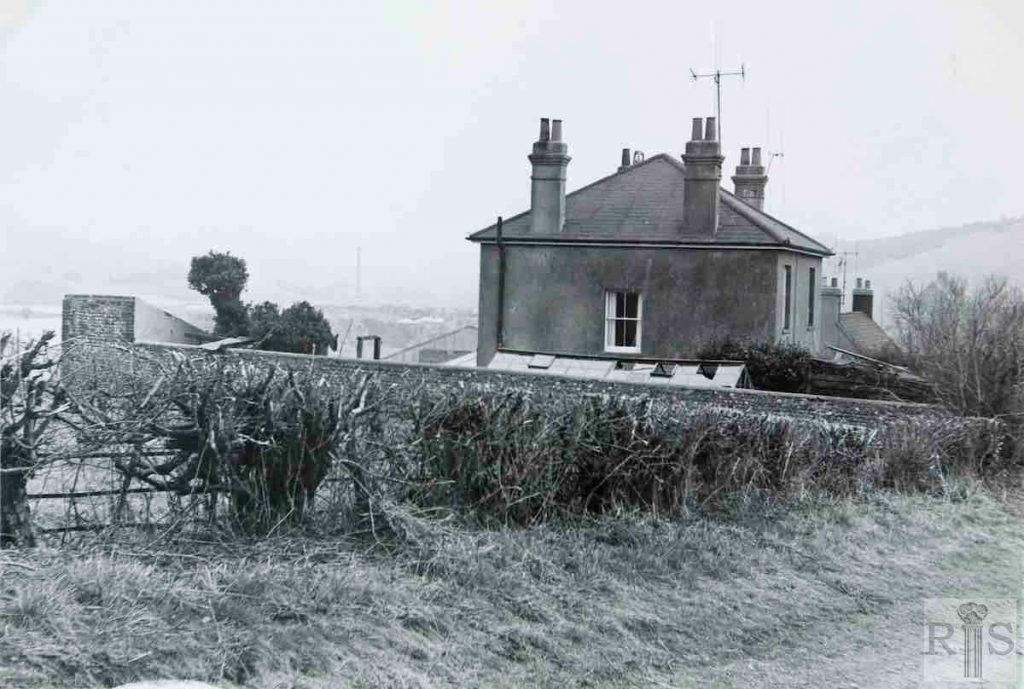
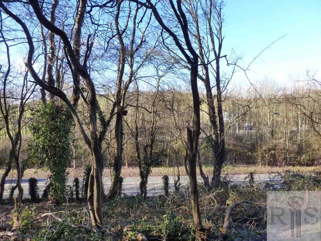
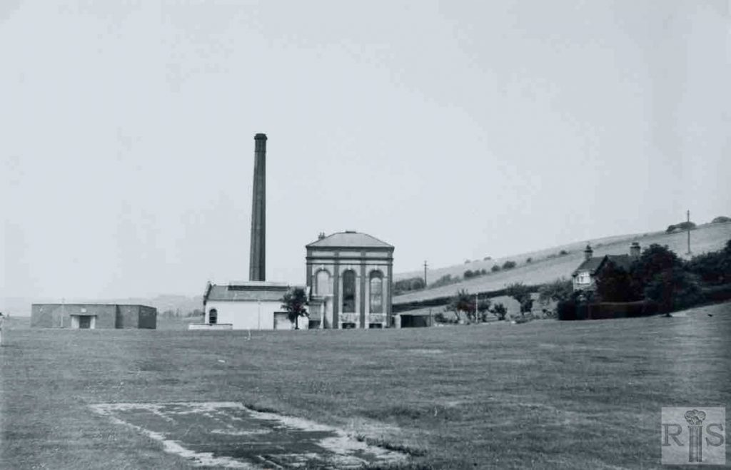
James Gray: Contrasting photographs, showing two stages [jgc_35_191 and 192] in the life of the buildings of this undertaking. A view of the building, in the early 1920s, the exact year being unknown. Taken from the south-east, from the old Mill Road. jgc_35_191
2020: This view is taken from a little way up the bank to the south of Mill Road, seen here in the foreground with the parallel section of the A27 Brighton bypass running behind. Peeping out from behind the trees is the house within what is now the Southern Water enclosure. (Photographer: Jane Southern)
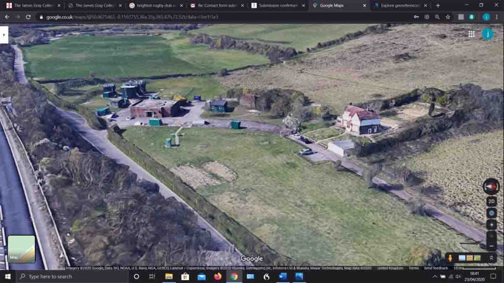
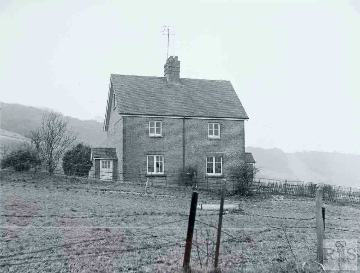
James Gray: View of the considerably altered layout, from the east. Date 4 July 1971. Mostly cleared away in April 1972. Note the engineer’s private house, which appears in both photographs. jgc_35_192
2020: The remainder of the pumping station can be seen in the green structures to the left of this aerial view, with the engineer’s house on the right. On the far left of the picture, the slip road takes traffic from the A27 Brighton bypass to the A23. (Photographer: Google)
