James Gray: This is a recent copy of an old, and already indistinct, photograph. The pity is that even more detail is lost in the copying, for there is a wealth of interesting facts to be revealed by a careful study of the picture. One cannot pinpoint the exact spot from which the photograph was taken, but it must have been to the north west of Elm Grove, the area being then given over to small market gardens.
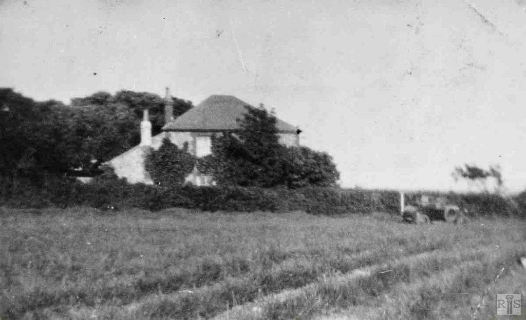
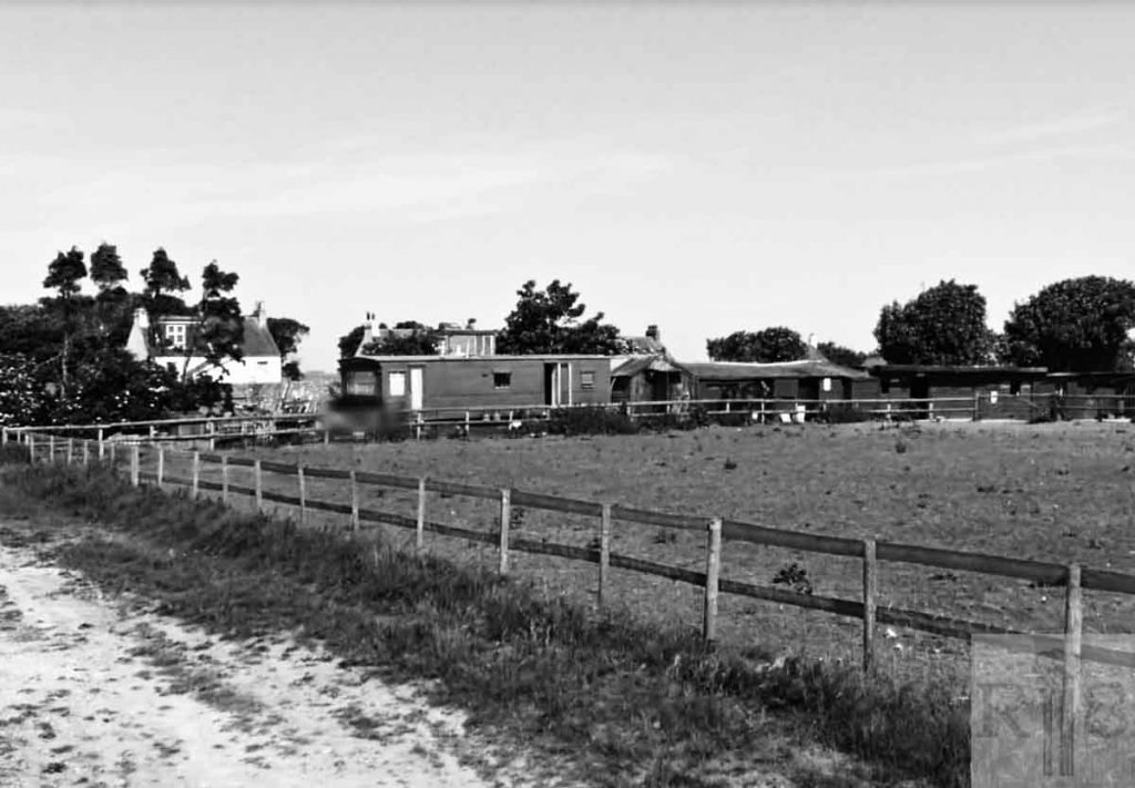
James Gray: This house stood at the far end, and just south of, the racecourse, and was the house of Race Hill farm. The farmland extended southwards down Wilson Avenue and to the east towards Sheepcote valley. In my young days it was known as Wright’s Farm, and there was a football pitch in the meadow just off the photograph to the right. I have no information about this house but parts of it seemed to be quite old though there were signs of later additions. jgc_27_139
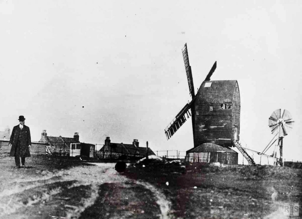
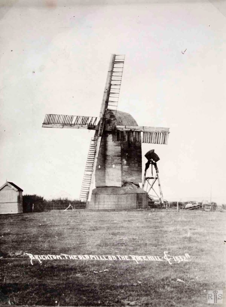
James Gray: This mill, originally known as the East End mill, was a white post mill with tail-pole. From 1793 it stood south of Sudeley Place, between St George’s Road and Marine Parade. In 1831, the mill was moved to a site at the top of Sussex Street. By then it was known as Taylor’s Mill and in March 1862, it was moved via Queens Park Road and Elm Grove to its last site at the top of Bear Road. This photograph, dating from about 1912, shows the houses of Belle Vue Cottages in the background. jgc_27_143
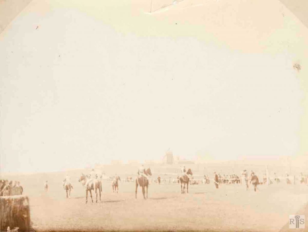
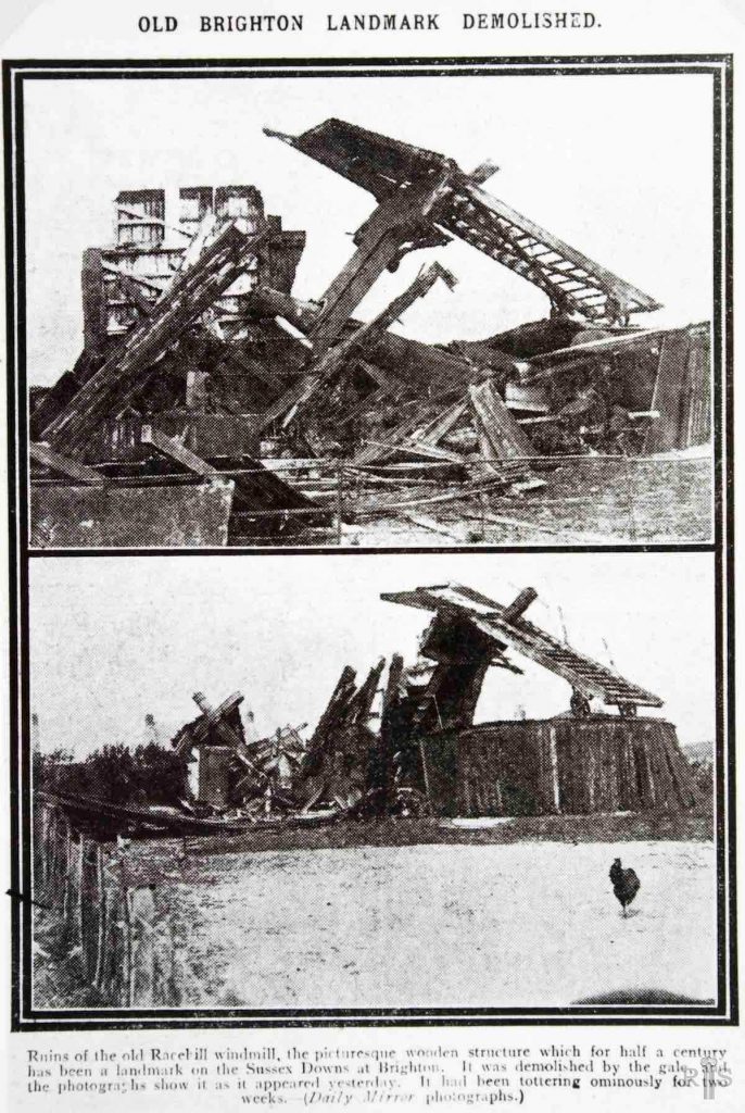
James Gray: This small photograph, of the 1890s, gives a distant view of the mill, with horses lined up at the six furlong starting gate of the racecourse. On 16 May 1913, after an existence of 120 years on three different sites, the mill just collapsed from sheer old age. jgc_27_144
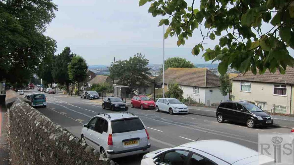
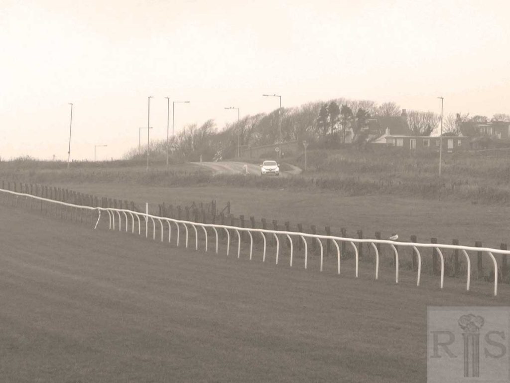
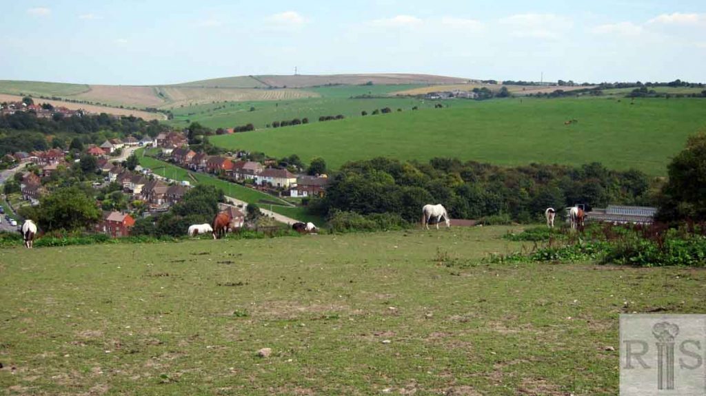
2018: The view today. (Photographer: Ron Fitton)
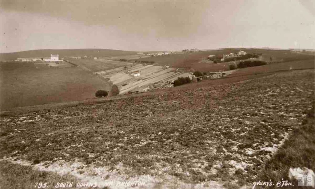
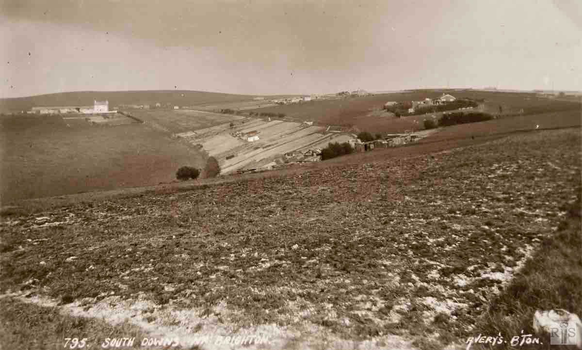
James Gray: Described as ‘South Downs near Brighton’ the area is now within the Borough boundaries. Taken from near the present riding stables at the top of Bear Road, most of the land on the gentle slope to the right is now covered by the houses of that part of Woodingdean to the north of Warren Road. In the distance is the farmhouse of Heath Hill Farm, which is still there now (1984). There is no positive identification of the period of this postcard, but it cannot have been much later than 1920. jgc_27_153
James Gray: This mill, originally known as East End Mill, was first erected south of Sudeley Place in 1793. It was later known as Taylor’s Mill and in 1831 was moved to the top of Sussex Street. Finally in 1862 it was removed to the top of Bear Road close to the racecourse where it remained until 16 May 1913, when it collapsed. jgc_27_158
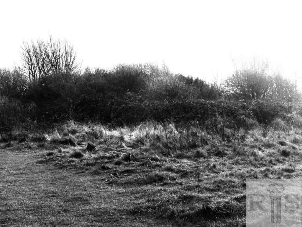
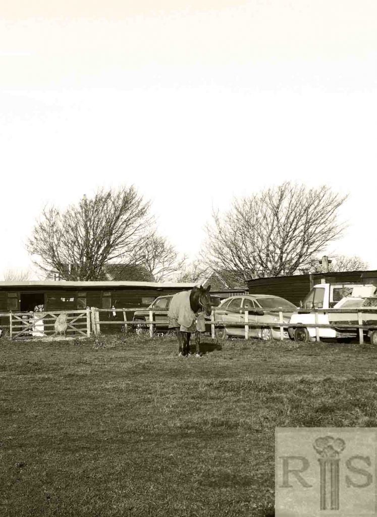
2018: The site where the mill once stood, near the present-day junction of Warren Road and Bear Road. (Photographer: Ron Fitton)
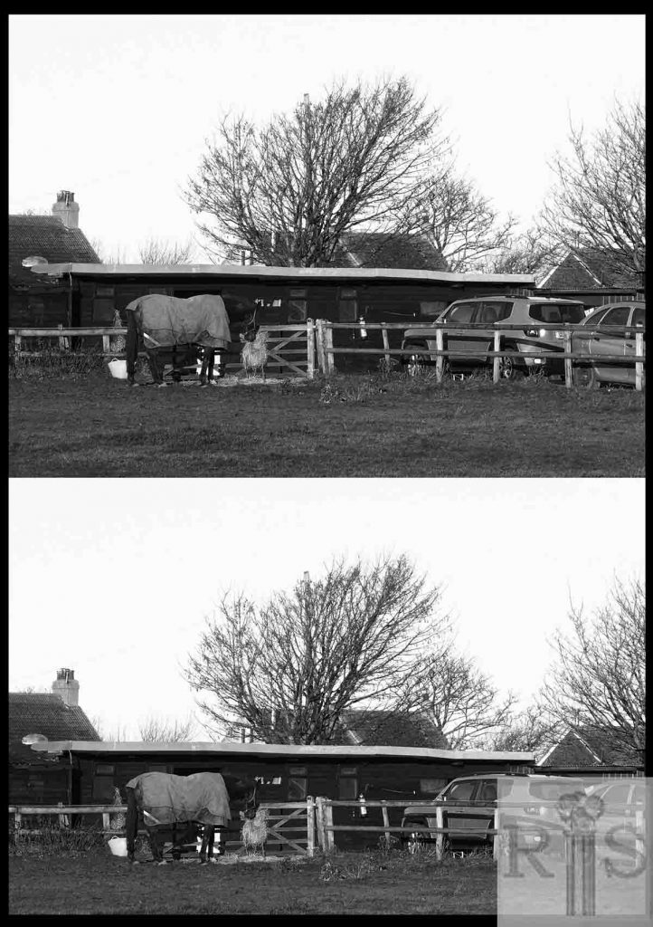
James Gray: Photographs copied from the Daily Mirror, showing the remains of the Mill after its destruction on 16 May 1913. In the lower background, a glimpse of Belle Vue Cottages. jgc_27_161
2018: The site where the mill once stood. The buildings of Belle Vue Cottages are just visible behind the stables. (Photographer: Ron Fitton)

