Historic and Contemporary Images of Brighton and Hove
Based on the Regency Society James Gray Collection
  • Home page
    • James Gray
    • Project volunteers
    • Acknowledgements and copyright
    • Contact us
  • Master map
  • Street Index
  • Find a place
    • Neighbourhoods
    • Images of the seafront
    • Parks and Open Spaces
    • Redeveloped areas
    • Royal Pavilion Estate
    • Brighton Station
    • Street Index
ST. JOHN’S PLACE

St John’s Place

Neighbourhood:
Carlton Hill
1934
1935
1936

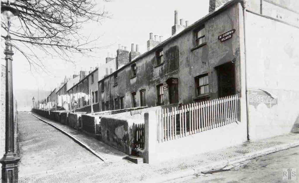
James Gray: Old St John’s Place looking north to Sussex Street. These old houses were later removed and replaced by new Council houses built in 1937. The road retained its name and can now be entered by traffic from both ends. jgc_24_117

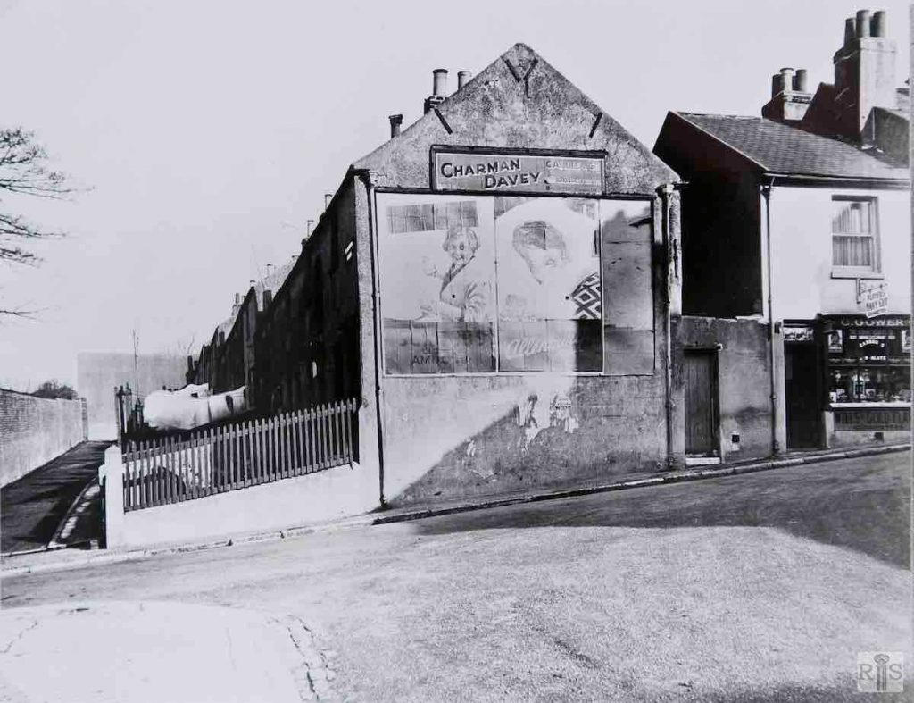
James Gray: View northwards from the corner of Blaker Street and Carlton Hill, February 7th, 1935. Showing also the high wall of the Church of St John the Evangelist. Houses demolished 1937. jgc_24_135

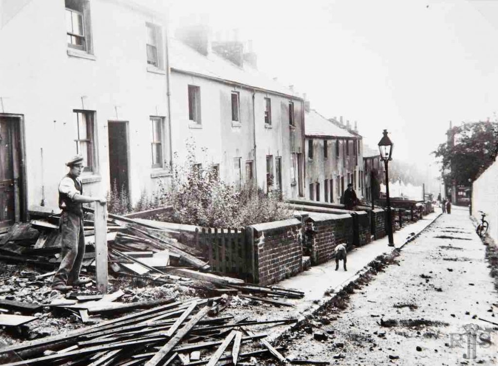
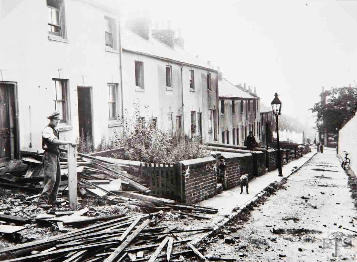
James Gray: St John’s Place. Demolition of old houses in progress, 1936. Looking south to Carlton Hill and, beyond the washing, Blaker Street. At the right, the wall enclosing St John’s Church. jgc_22_167
Historic and Contemporary Images of Brighton and Hove
This website has been prepared by the Regency Society of Brighton and Hove. All historic maps are provided with kind permission of the National Library of Scotland (https://www.nls.uk/) regencysociety.org

Search