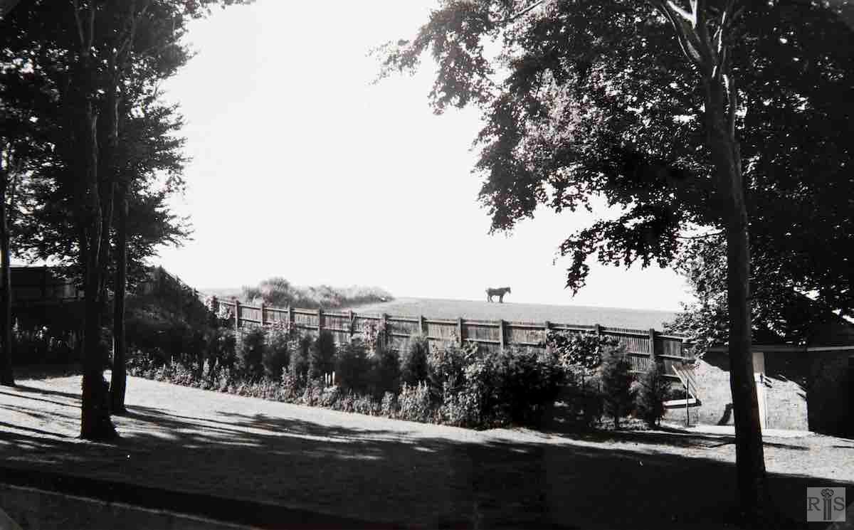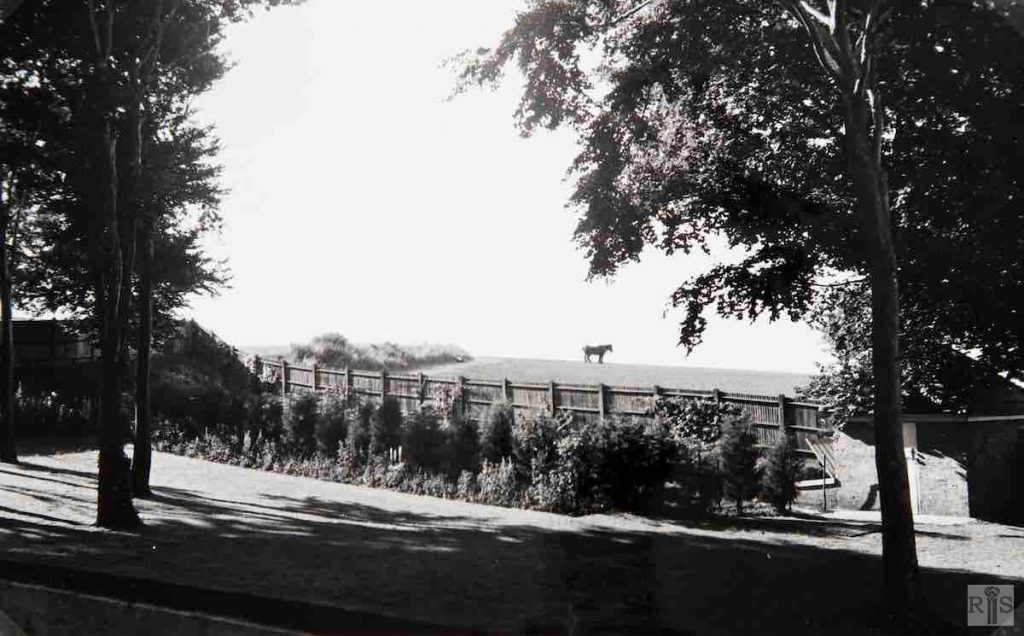
James Gray: This long winding road started at its southern end as long ago as 1921 and by 1939 houses had extended nearly to Tredcroft Road. From there the unmade road meandered for 400 yards through the fields before reaching the large house, ‘Pantiles’, just before the junction with Woodland Drive. This photograph, from the garden of ‘Pantiles’, dates from the summer of 1940. The area remained in this rural condition until the mid-1950s when intensive building took place. The roadway is just to the left of the grassy bank and the horse is standing on the approximate site of Shirley Avenue. jgc_17_109
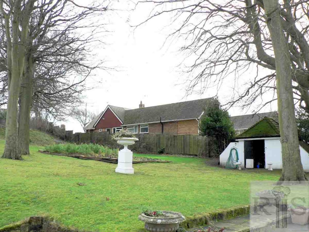
2018: A present-day view into the distance is obscured by the bungalow at 114 Shirley Drive. The property to the right of that is 68 Benett Drive, on the west side of that road. (Photographer: Alan Hobden)

