Historic and Contemporary Images of Brighton and Hove
Based on the Regency Society James Gray Collection
  • Home page
    • James Gray
    • Project volunteers
    • Acknowledgements and copyright
    • Contact us
  • Master map
  • Street Index
  • Find a place
    • Neighbourhoods
    • Images of the seafront
    • Parks and Open Spaces
    • Redeveloped areas
    • Royal Pavilion Estate
    • Brighton Station
    • Street Index
SALISBURY ROAD

Salisbury Road

Neighbourhood:
Central Hove
1970
2018

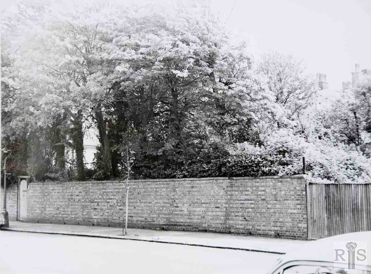
James Gray: This photograph was taken on 17 May 1970. There were then very few building sites available in the older part of Hove. Here is one such plot. Perhaps at one time it had been part of a garden of a house in Palmeira Avenue, but in recent years it had been walled or fenced off. In mid 1971 building of a block of flats was started to cover the site. jgc_11_067

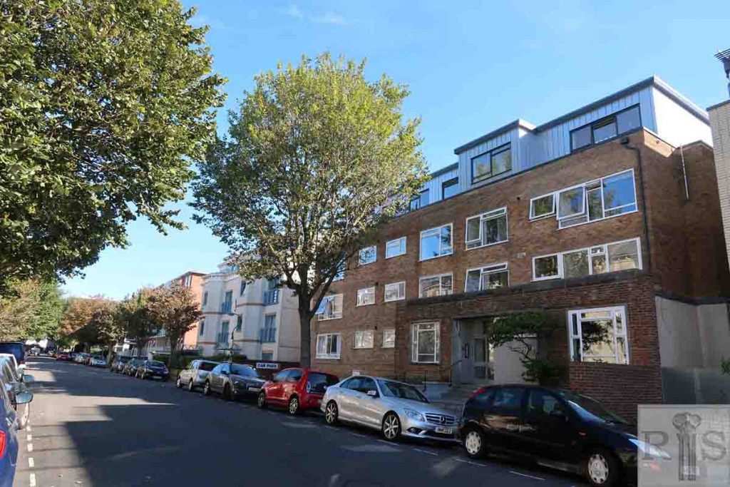
2018: The James Gray picture shows the eastern side of Salisbury Road but in 2018 there is no longer any trace of the old wall to help pinpoint the exact location. Flats have been built all along the road so the modern image just shows a typical view. (Photographer: Helen Glass)
Historic and Contemporary Images of Brighton and Hove
This website has been prepared by the Regency Society of Brighton and Hove. All historic maps are provided with kind permission of the National Library of Scotland (https://www.nls.uk/) regencysociety.org

Search