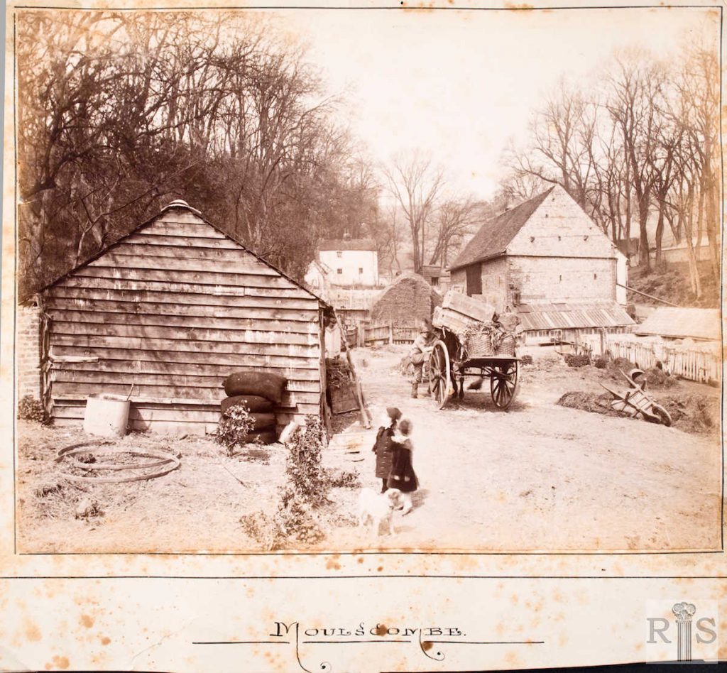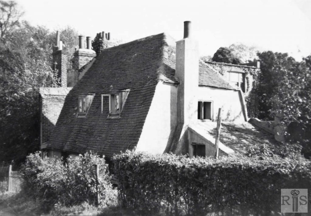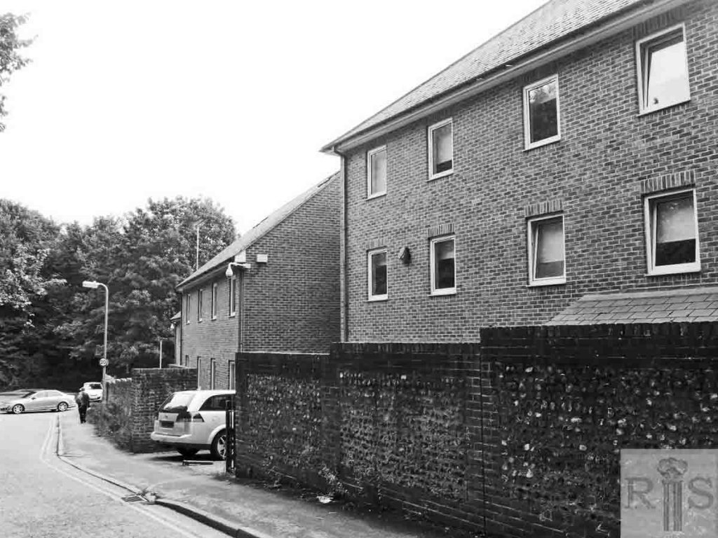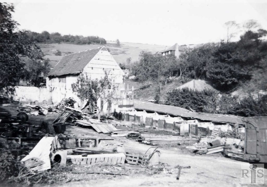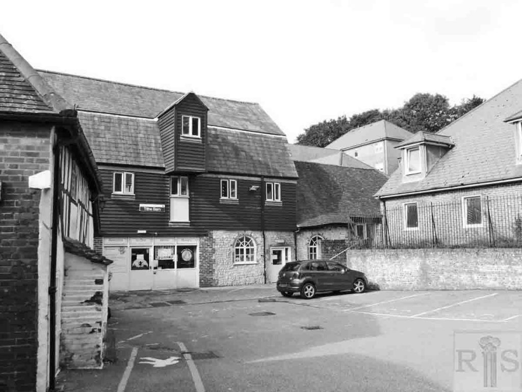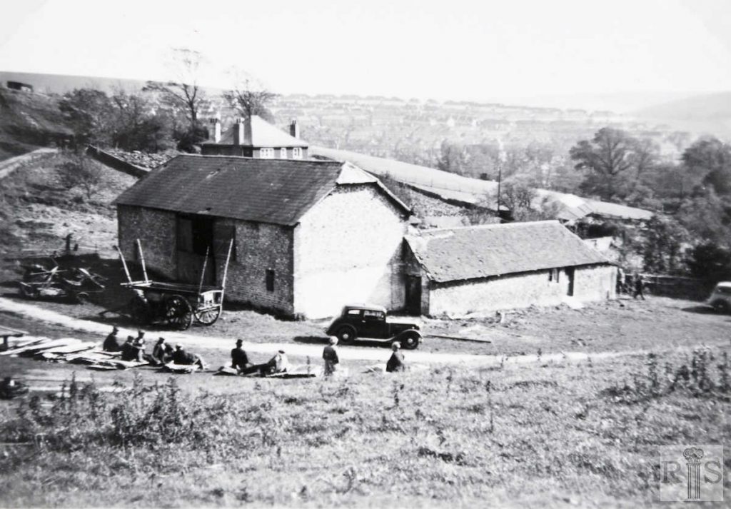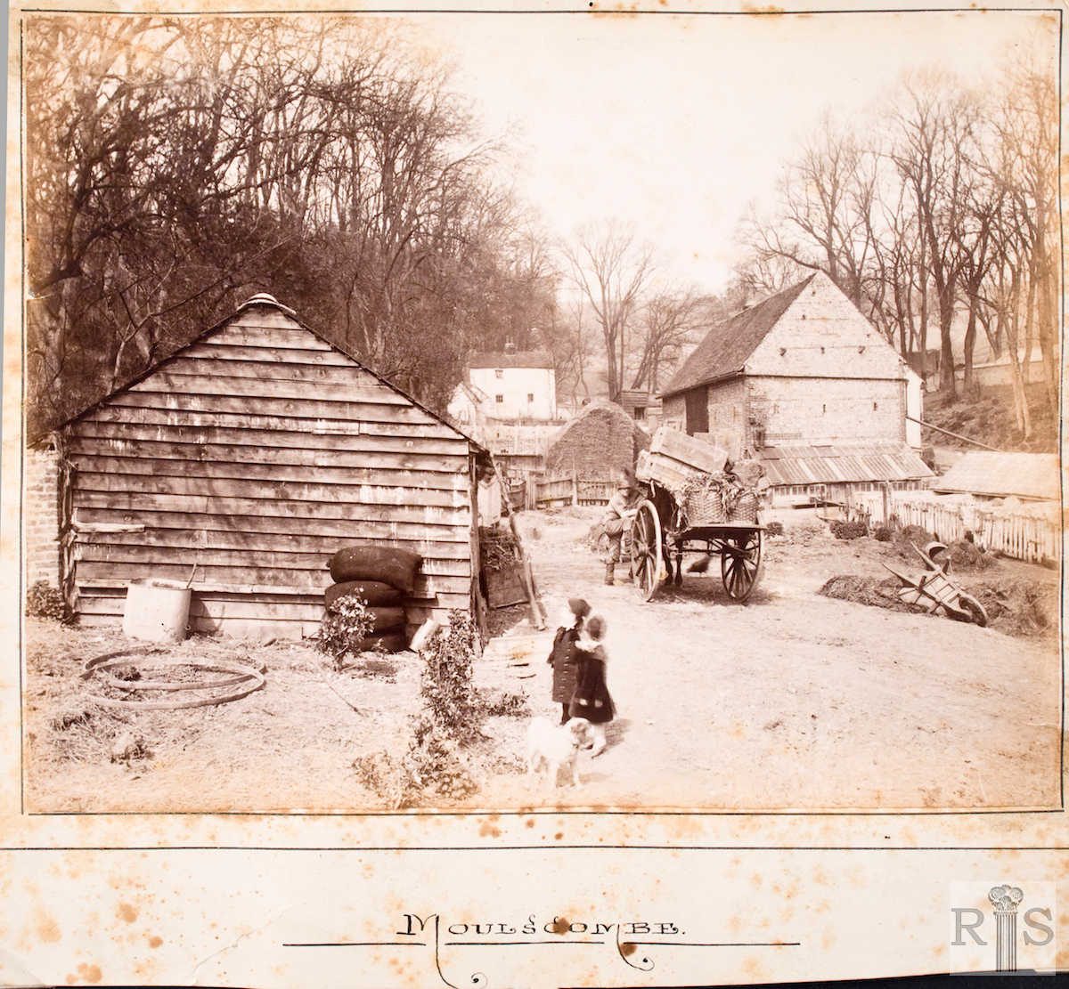
James Gray: This photograph is of the buildings and cottages of Moulsecoomb Home Farm, looking west to the crest of the hill. It is from the same source as that on the previous page [jgc_28_120 on the Southall Avenue page] and doubtless is of the same year, 1889. These buildings existed until 1938 when the farm was broken up and the flint barn can be clearly seen in one of the small photographs overleaf. jgc_28_121
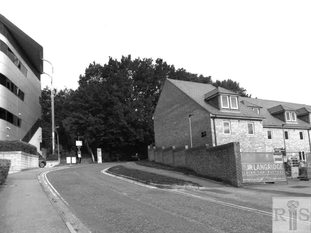
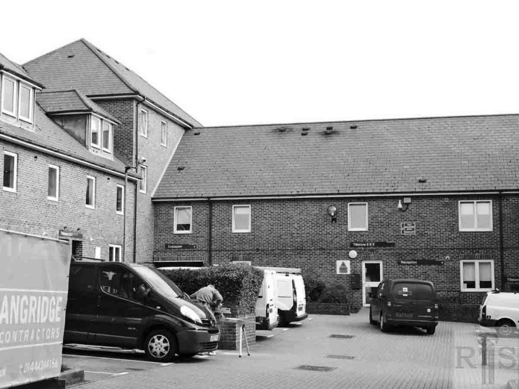
2018: All of the buildings in the original picture have long since gone. Those on the left have disappeared under the ever-increasing spread of the University of Brighton campus, while those on the right have been replaced by the student flats of Tillstone Close. (Photographer: Ron Fitton)
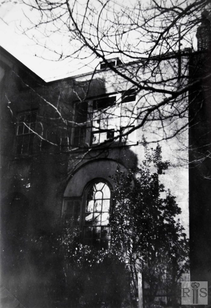
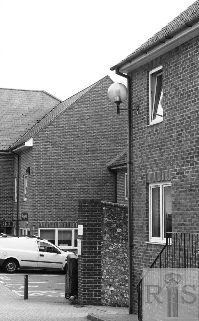
James Gray: A very fine photograph of the old Dower House, which faced the lane leading under the Railway, to the farm beyond. The date was 8 September 1934. The house is in much better condition than its 1938 appearance, see overleaf [jgc_28_123 and 124], just before its unnecessary demolition. jgc_28_122
2018: More modern residential accommodation stands on the site of the former Dower House today. (Photographer: Ron Fitton)
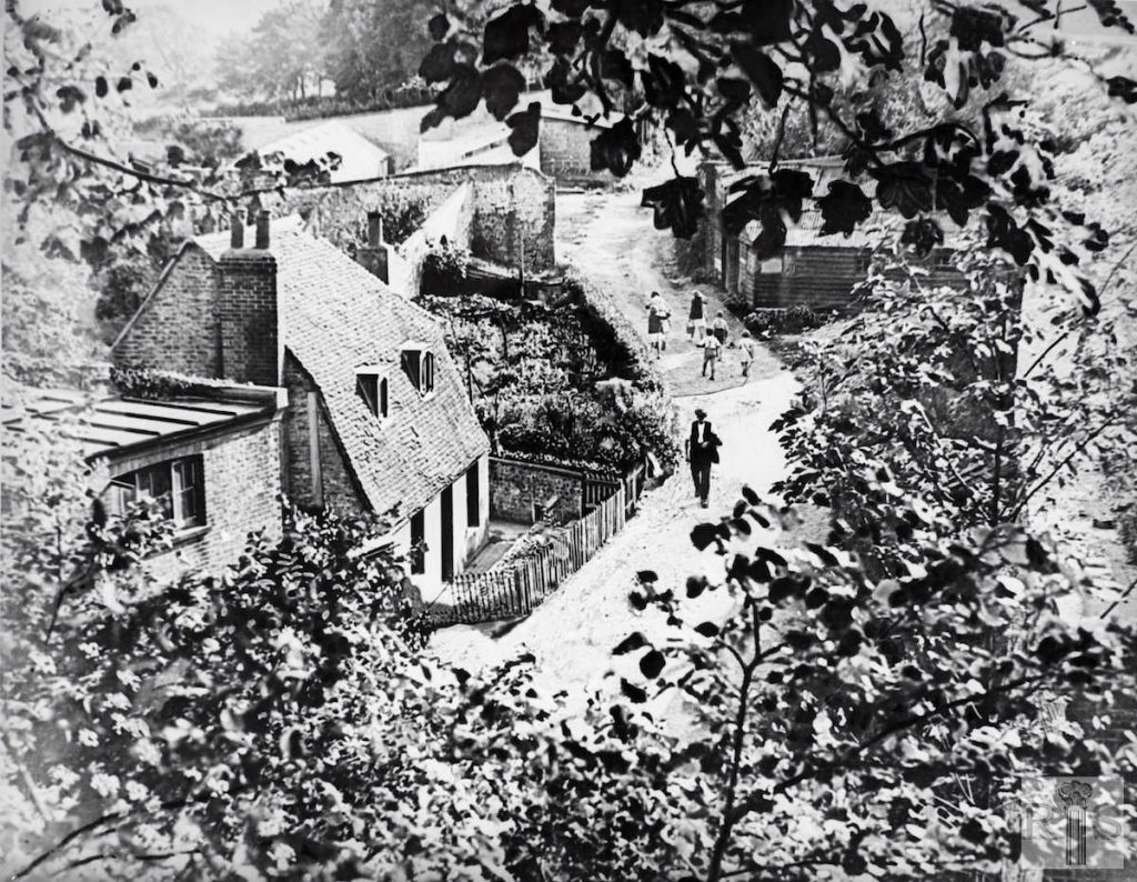
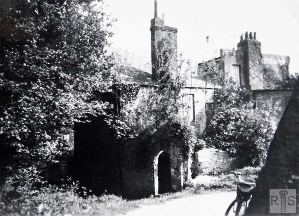
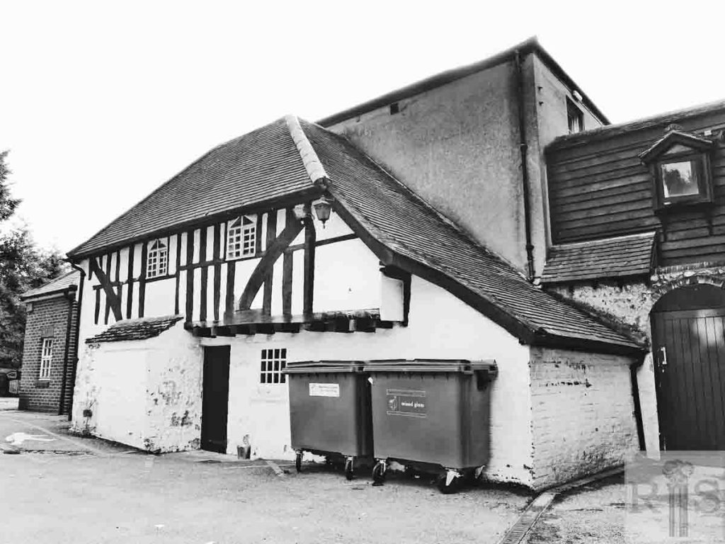
James Gray: These six photographs [jgc_28_123 to 128 inclusive] were taken in 1938, at the time when the farm was being broken up. The farmhouse and cottage lay behind Moulsecoomb Place, just to the east of the Brighton-Lewes railway line. Two views of the old cottage that adjoined the farmhouse and faced on to the narrow road which passed under the railway and led to the barns and farm buildings. jgc_28_123
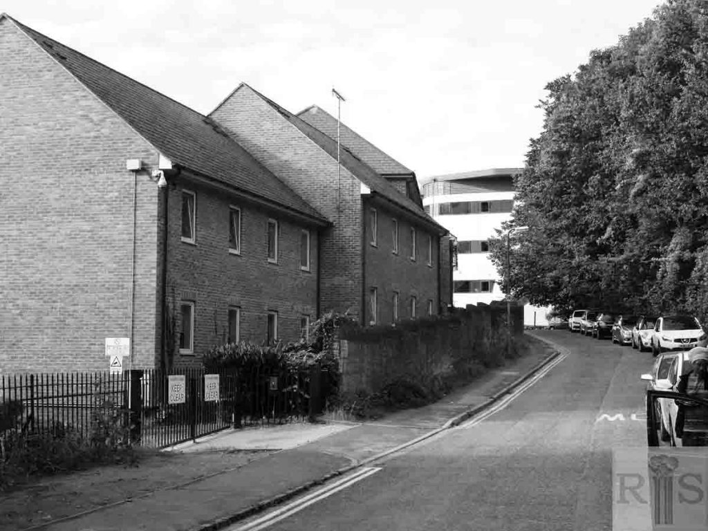
2018: With the exception of parts of the old hall house and the tithe barn, all of the farm buildings have been demolished. (Photographer: Ron Fitton)
James Gray: These six photographs [jgc_28_123 to 128 inclusive] were taken in 1938, at the time when the farm was being broken up. The farmhouse and cottage lay behind Moulsecoomb Place, just to the east of the Brighton-Lewes railway line. View of the farmhouse. jgc_28_125
2018: See caption for jgc_28_123 above. (Photographer: Ron Fitton)
James Gray: These six photographs [jgc_28_123 to 128 inclusive] were taken in 1938, at the time when the farm was being broken up. The farmhouse and cottage lay behind Moulsecoomb Place, just to the east of the Brighton-Lewes railway line. The barns and farm buildings prior to the sale of the farm equipment and implements. jgc_28_127
2018: See caption for jgc_28_123 above. (Photographer: Ron Fitton)
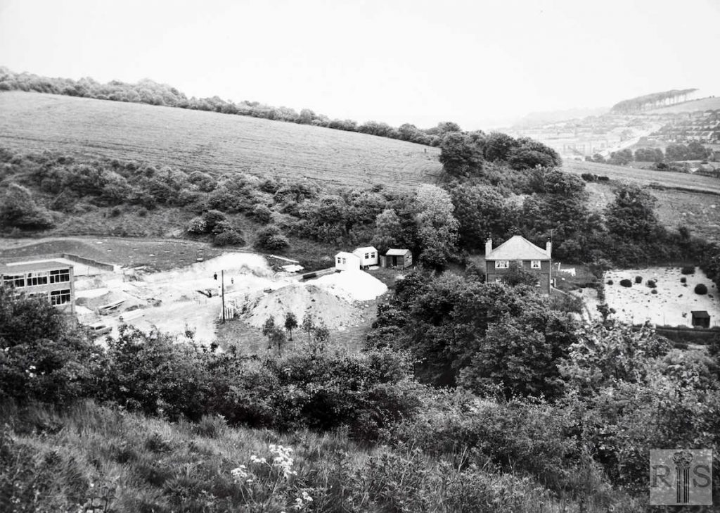
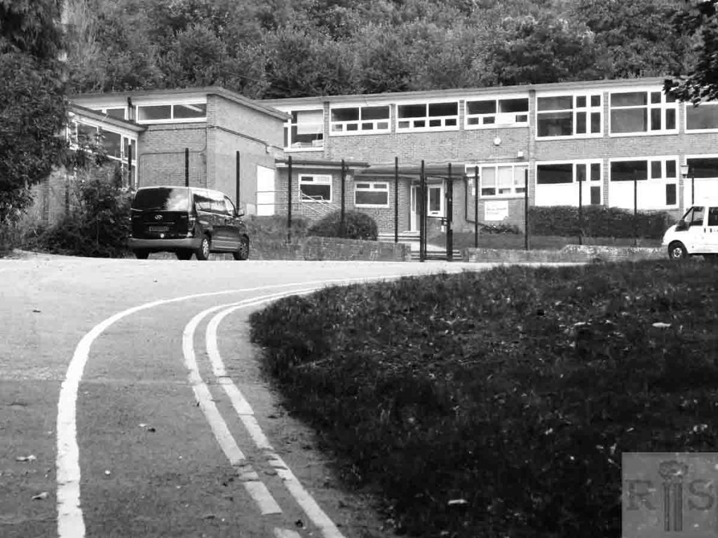
James Gray: Work in progress for the erection of the new Special School for Educationally Sub-Normal Children, during 1955. Compare this with the panoramic view of this area on a previous page and it will be seen how the land reverted to nature after the closing of the farm in 1938. However the farmhouse was then still occupied. jgc _28_137
2018: The school changed its outdated name to Queensdown Special School (hence the street name) and it is now Homewood College. The farm buildings have all completely disappeared. (Photographer: Ron Fitton)
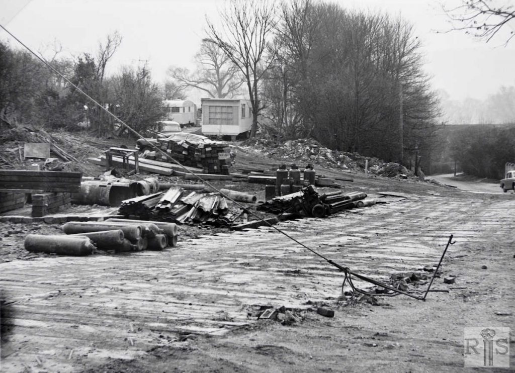
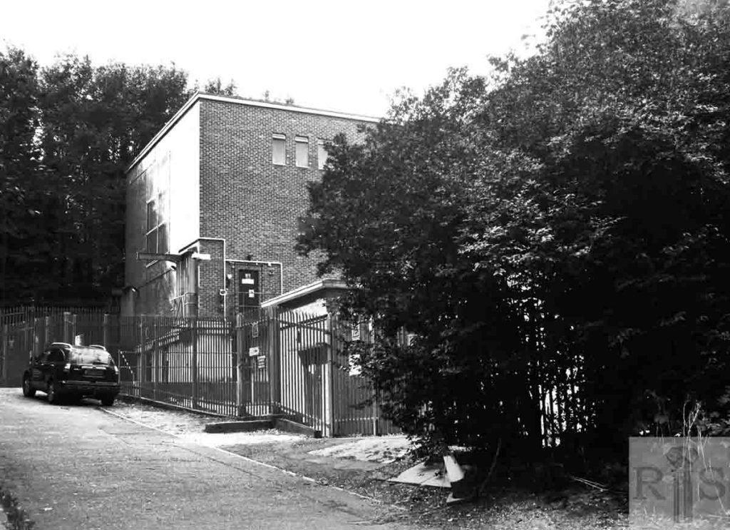
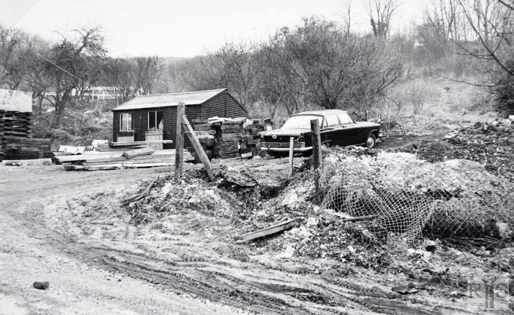
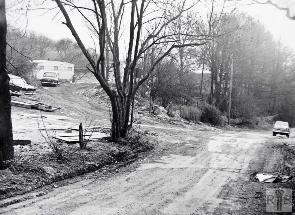
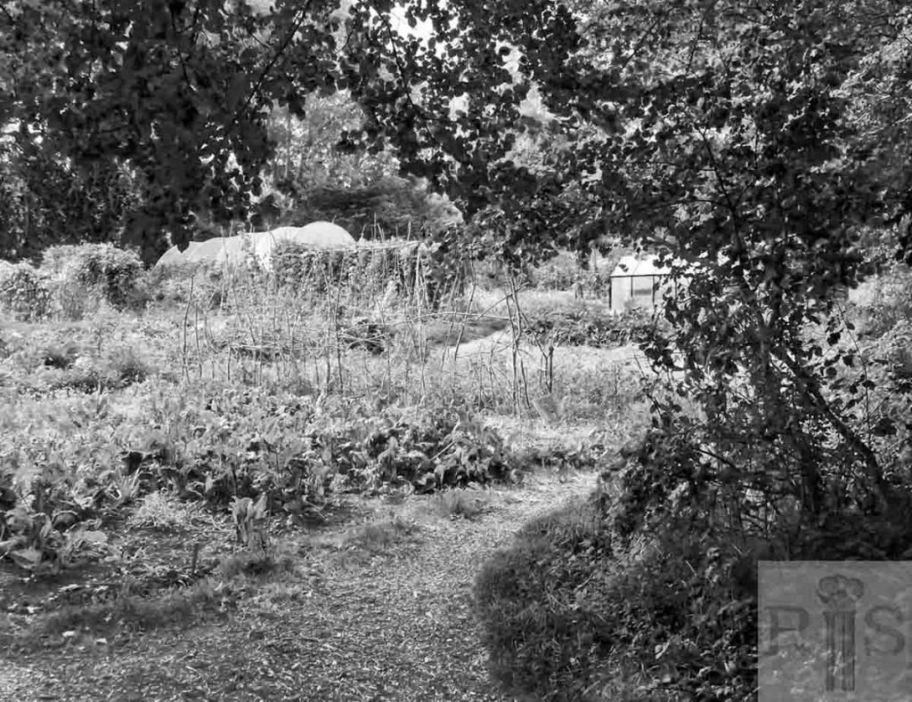
James Gray: Wrongly thinking that Council Houses, or perhaps commercial premises, were about to be built here, and encouraged by the obvious signs of building activity on the site, I had these photographs taken on 5 February 1970. They then laid undisturbed in a box for many years before coming to light in 1996. The site is north west of the Brighton-Lewes railway line and the road seen above leads from the railway arch up to Queensdown (formerly Woodside) Special School.
