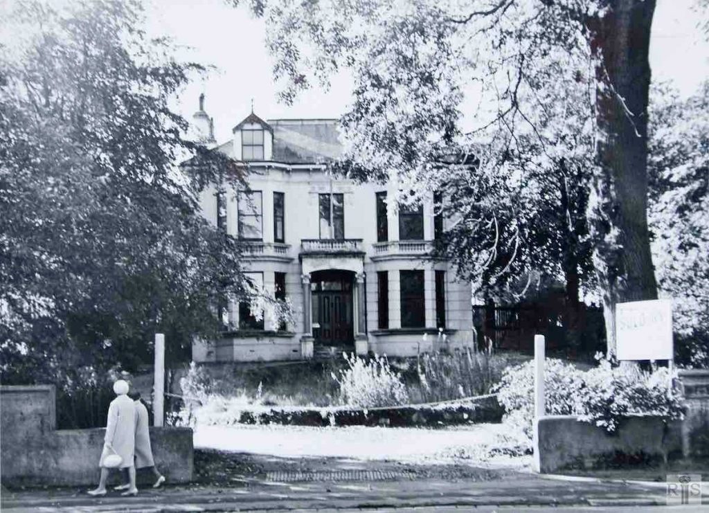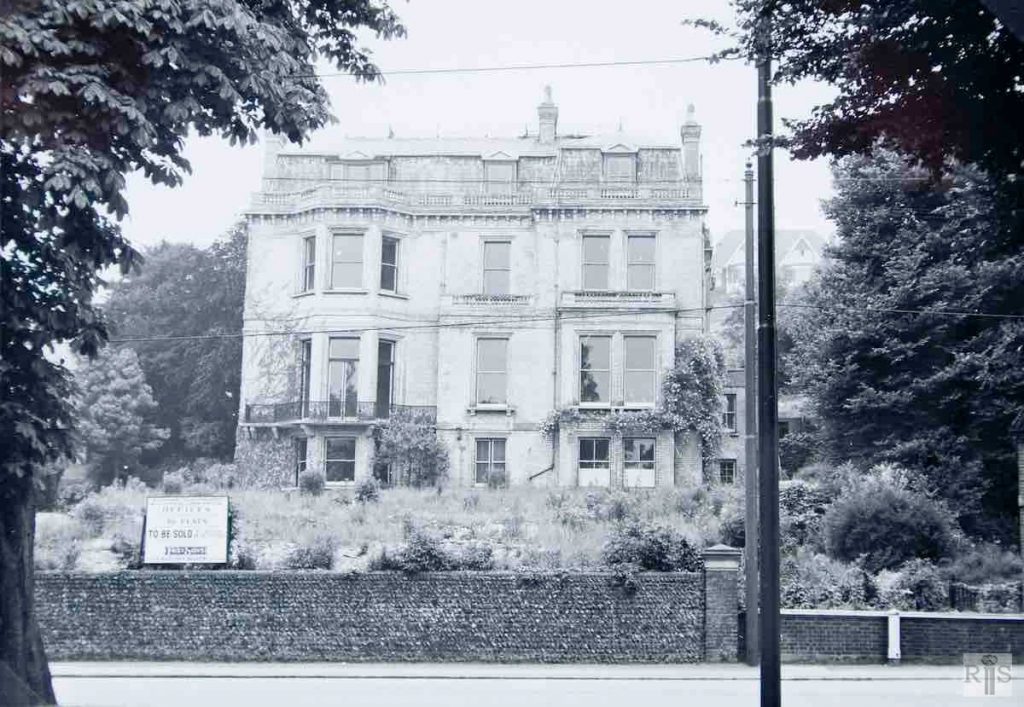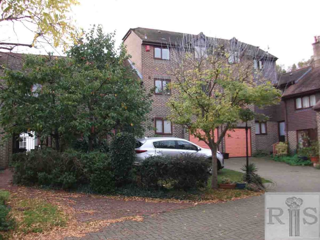
James Gray: Another of the mid-Victorian villas of Preston Road. No 173 had little to distinguish it from others in this road, although having been used for offices it had been well preserved. Photographed on 26 October 1969, it is now demolished and the site is in course of redevelopment. jgc_18_104
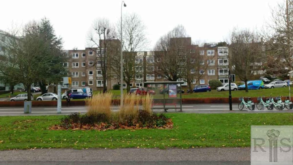
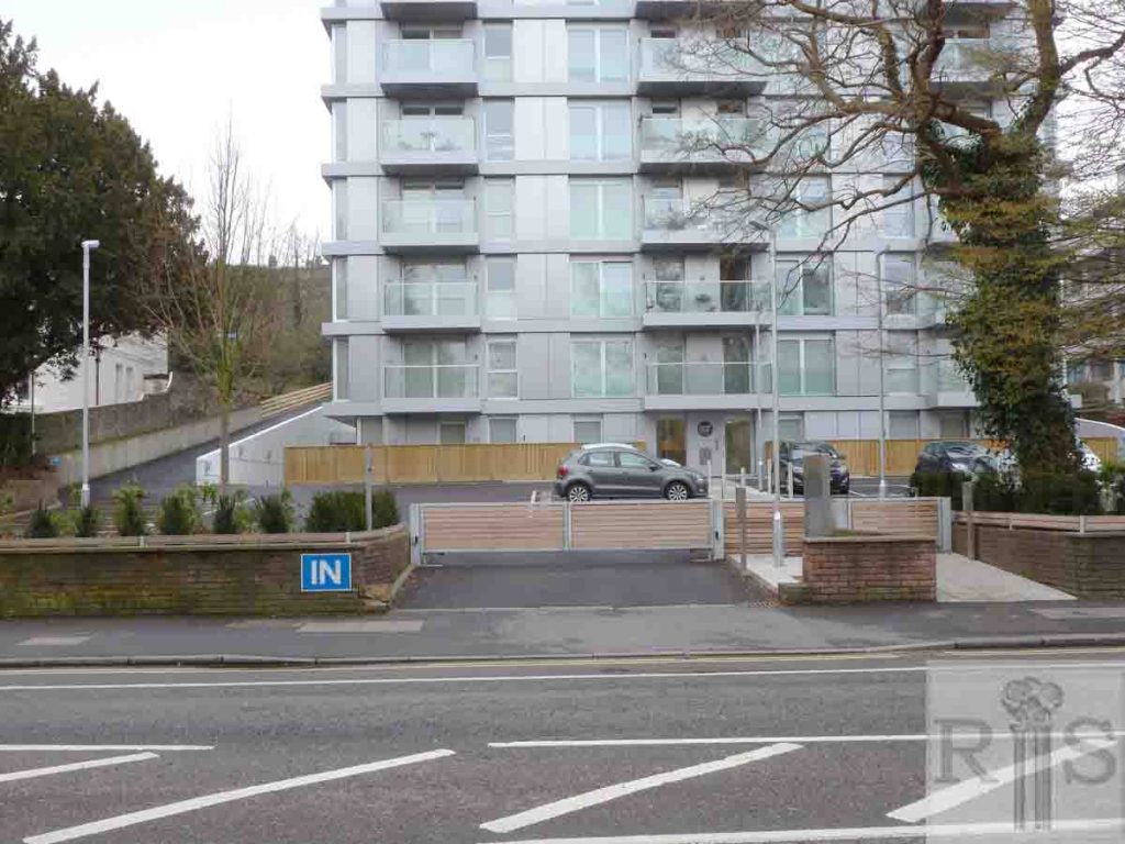
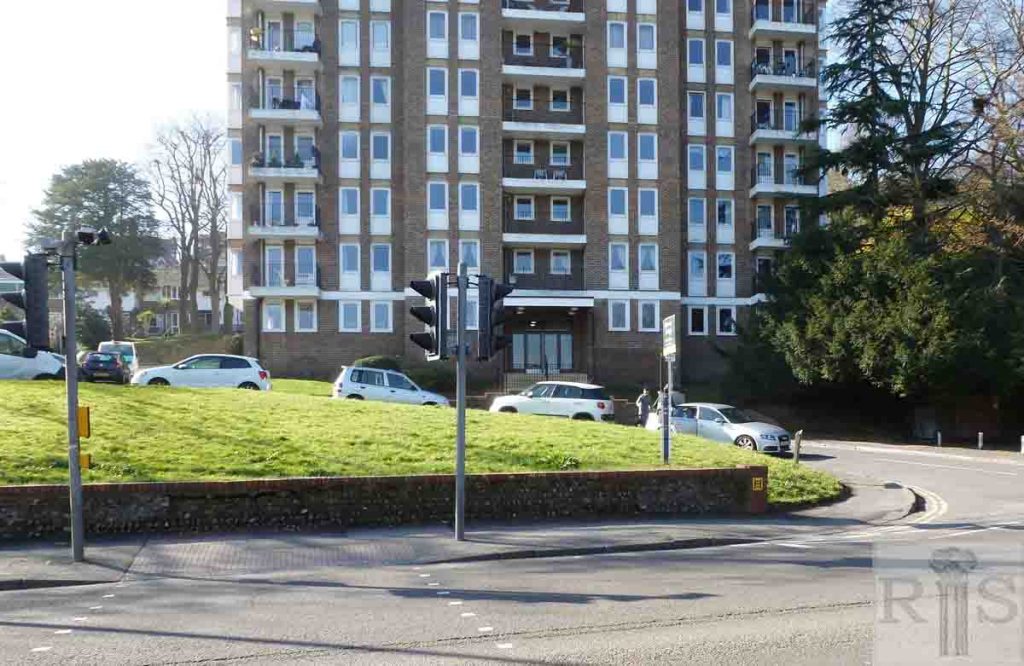
2018: 173 Preston Road has been demolished. At 171-173 Preston Road is now Central Park, an apartment block. (Photographer: Max Page)
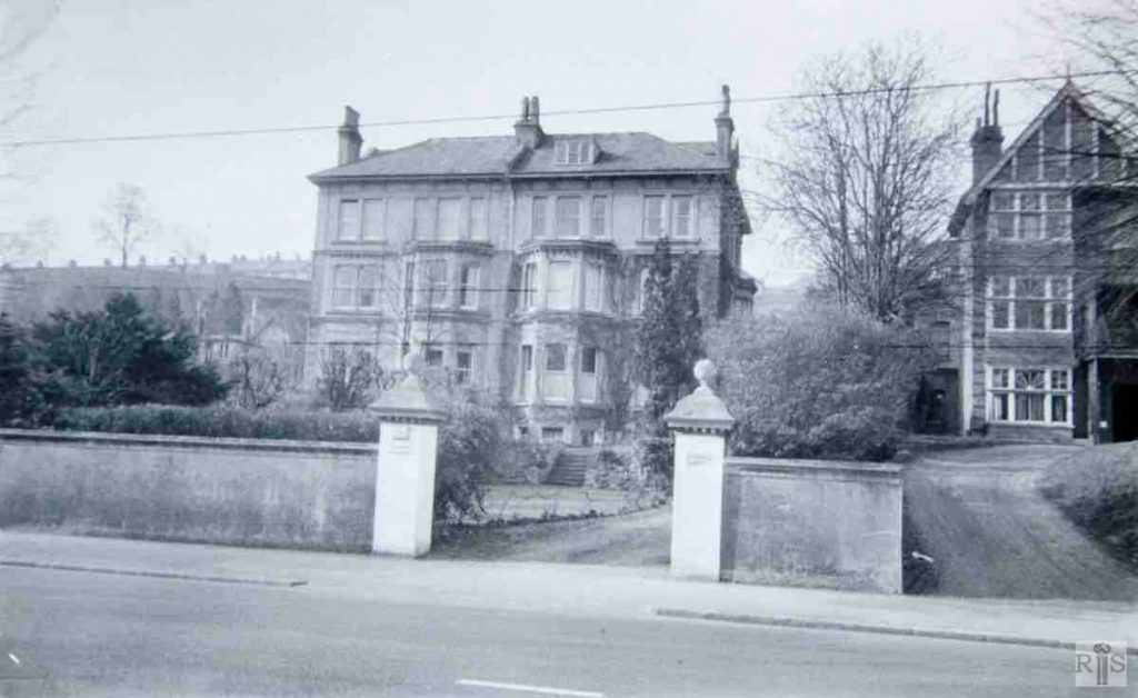
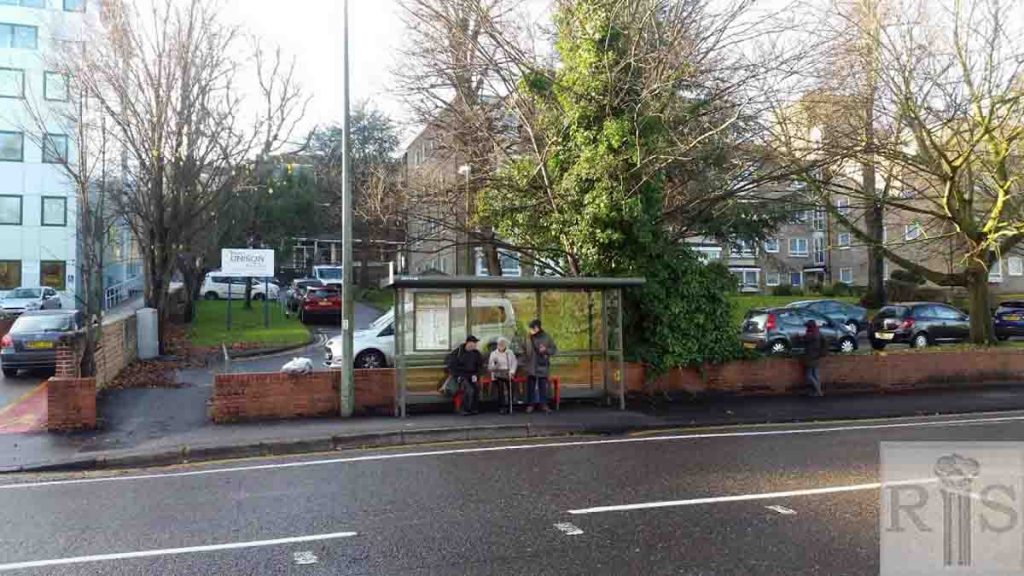
James Gray: Semi-detached pair (built 1875), 179-181. jgc_18_102
2018: 179 Preston Road is now a small office block, set back from the main road and housing, amongst others, the South East Regional Office of Unison, the trade union. 181 Preston Road, on the far right of both images, is now a small part of a large complex called Nestor Court – described by housingcare.org as 48 flats ‘for, or of particular interest to: people put forward (‘nominated’) by a London Borough or who are Housing Association tenants in London. New residents accepted from 60 years of age’. (Photographer: Max Page)
James Gray: A good example of the rather gaunt late Victorian houses which lined Preston Road from Dyke Road Drive to the Rookery. Dating from the late 1870s or early 1880s, many were built by the Holloway brothers, whose house is shown on another page.
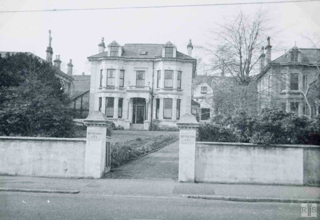
James Gray: Bethesda, 171 Preston Road, photographed in 1938. Built in 1878, and known for most of its life as Burntfoot, in most recent years it was the Gospel Standard Strict Baptist Bethesda Home. Demolished in 1972. jgc_18_123
2019: See jgc_18_121 on Preston Road (2) page. (Photographer: Jane Southern)
James Gray: An ugly, late Victorian mansion, probably built in the 1880s, this was the last house in Preston Road, before the Rockery. After about 25 years in private occupation, it was used for a long period as the Training College Hostel and was then known as The Rookery. For its last few years it was used for flats. Photographed 4 June 1961. jgc_18_125
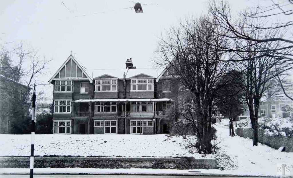
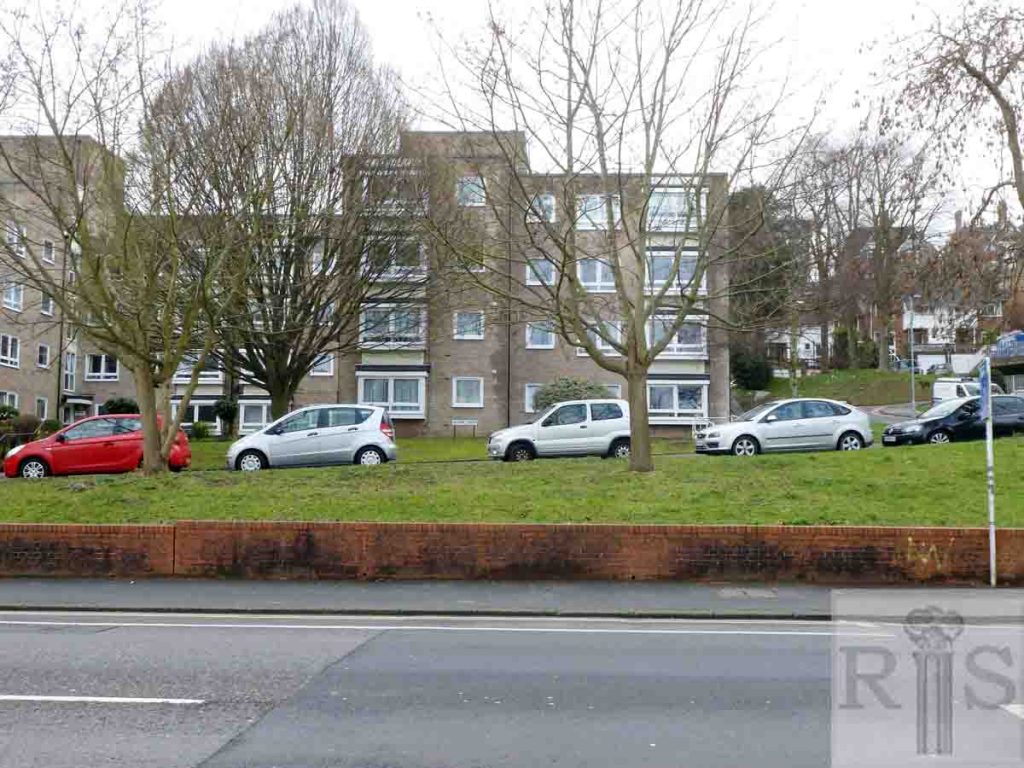
James Gray: Formerly two large separate houses known as Ashlyn and Parkside, this property later became known as Nestor Court, let as six flats. Last occupied about 1964 it was photographed on 16 January 1966 in the snow, when completely empty. Since then it has rapidly deteriorated due to vandals and beatniks but in late 1968 it was announced that the property was sold for demolition and rebuilding. jgc_18_129
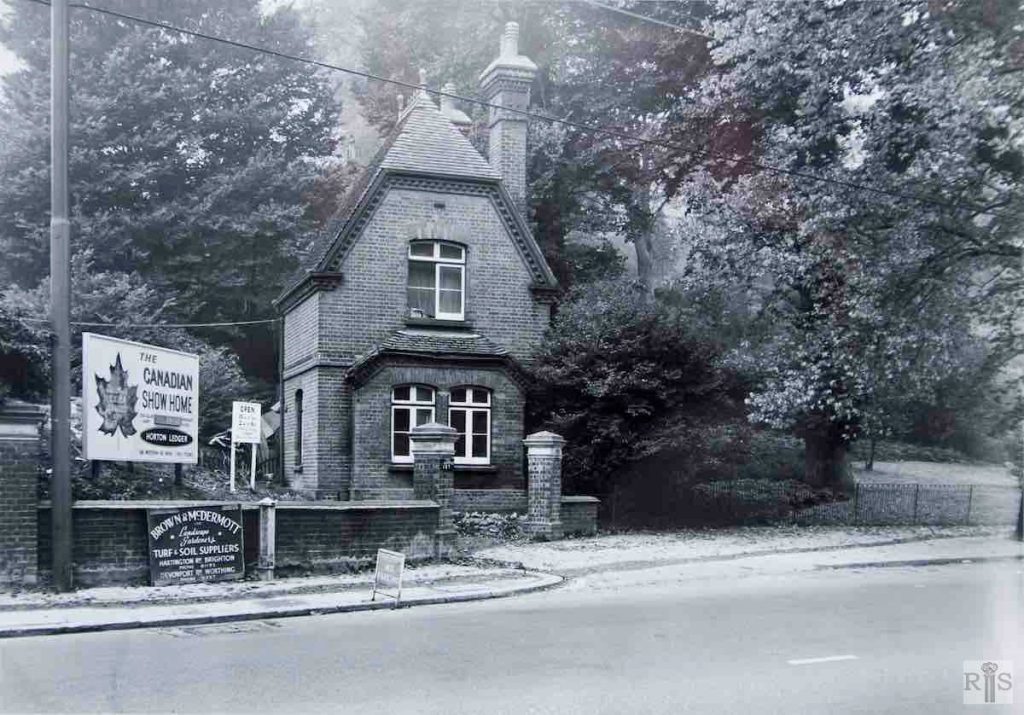
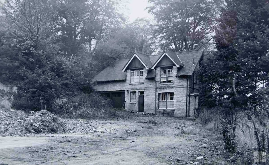
James Gray: After its demolition, a Canadian Show Bungalow was erected on the cleared site and was there for more than a year. A new block of flats is now to be built. At the time of writing the gardener’s lodge and the coachman’s house, seen here, still stand but they must go when the flats are built. Date of photographs 27 October 1963. jgc_18_126 and jgc_18_127
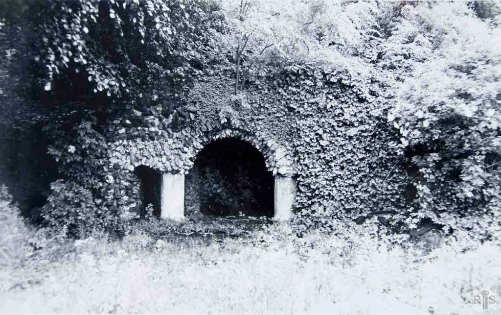
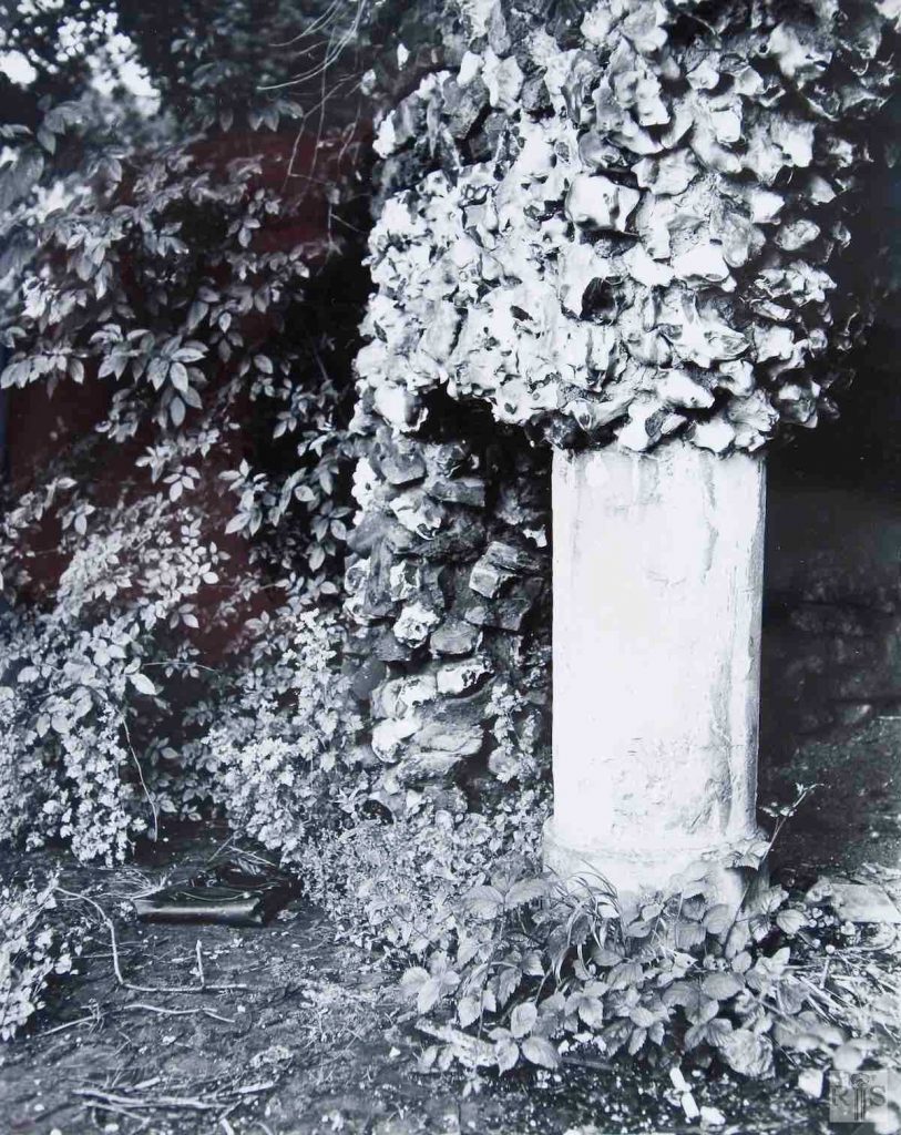
James Gray: After the demolition of the neighbouring house, Preston Grange, in 1961, I penetrated to the far end of the garden where I found this grotto neatly constructed of broken stones and flints. Probably several generations of children had happily played in this grotto. No trace now remains as the site of the house and houses and a block of flats now cover the garden. jgc_18_128
James Gray: A close up view of the grotto. jgc_18_130
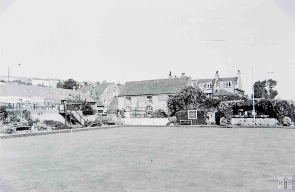
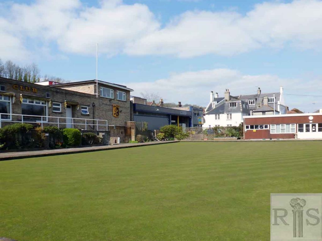
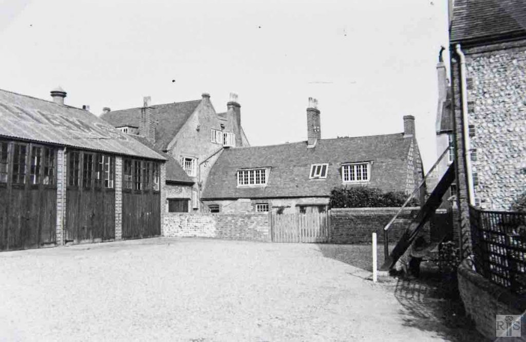
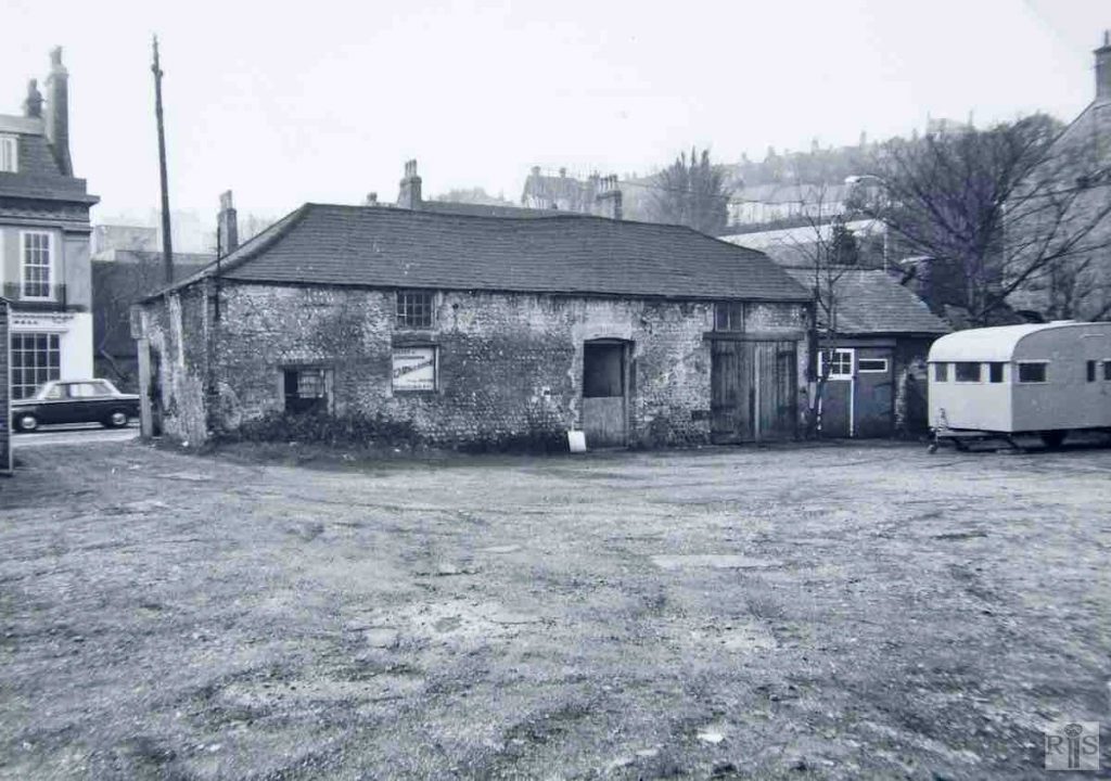
James Gray: Preston Farm, or Manor Farm, as it was more often called, originally extended from just north of Lovers walk to South Road, Preston, but was severely curtailed when the large villas were built along the west side of Preston Road in the 1870s. It continued as a farm into the present century but later was used for a very long period by Fellinghams as a yard for vehicles and stabling, later garages. Here can be seen old farm buildings, the yard and the bowling greens that replaced them. jgc_18_135
James Gray: See caption to jgc_18_135 above. Another view of farm buildings. jgc_18_137
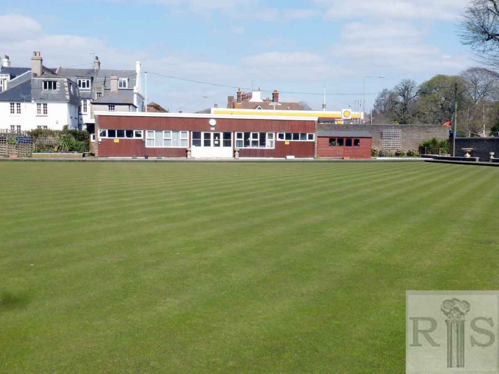
2019: This 2019 image was taken just to the west of jgc_18_135 across the Preston Bowls (Brighton) outdoor green. On the left is the clubhouse with attached indoor green, built in 1964. The backs of numbers 7 to 11 (odds) South Road have been exposed by the demolition of the old farm building seen in the 1951 image. See also jgc_18_136 and 138. (Photographer: Jane Southern)
James Gray: See caption for jgc_18_135 above. Another view of farm buildings. jgc_18_138
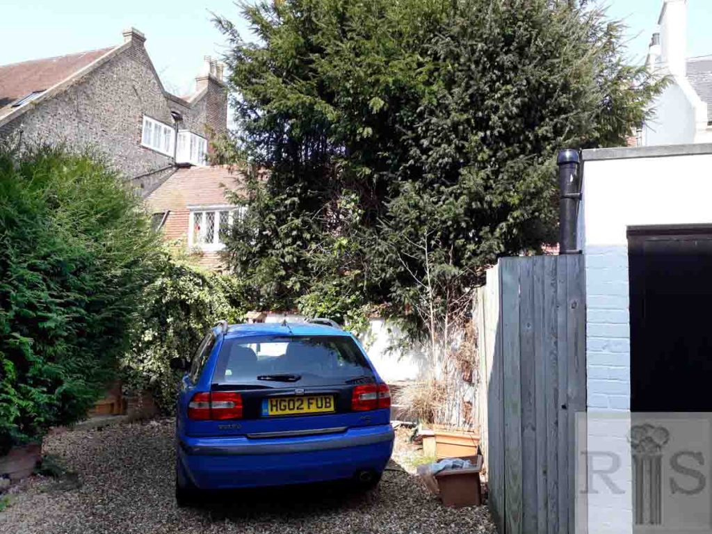
2019: The 1951 image corresponds to jgc_18_134, taken in about 1926. It is no longer possible to stand in exactly the same spot because, where the garages were in 1951, there is now a larger self-storage facility, owned by removal company Bishop’s Move.
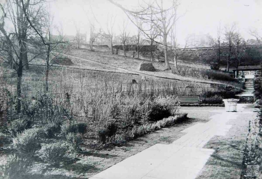
James Gray: On the right is a photograph of the Rookery, when its conversion to the Rockery as we know it now, was proceeding. The work carried out during the years 1935 and 1936. Previously there was a bowling green on the present site of the pond, and beyond stretched an untidy bank supporting the railway. The adjoining house, to the south, was for some years known as the Rookery, so it is possible that this land was once part of the grounds of that house. jgc_18_140
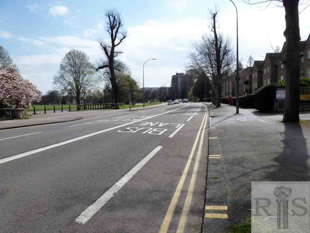
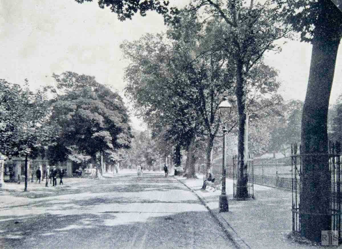
James Gray: A view along Preston Road. jgc_18_142
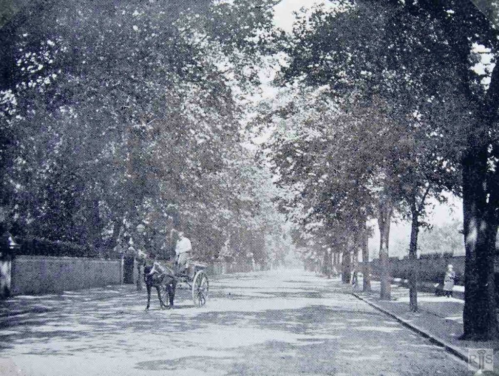
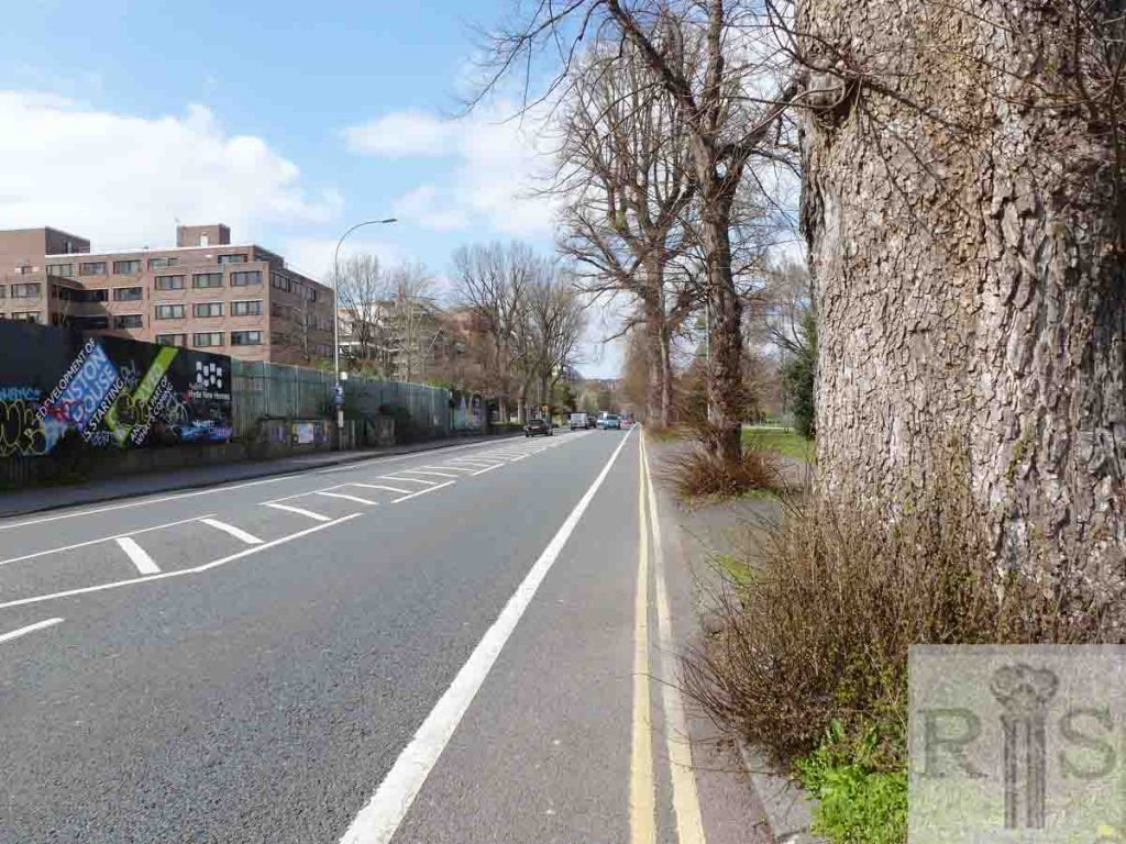
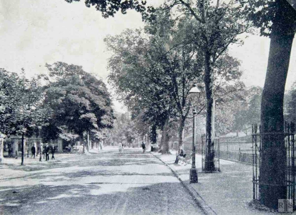
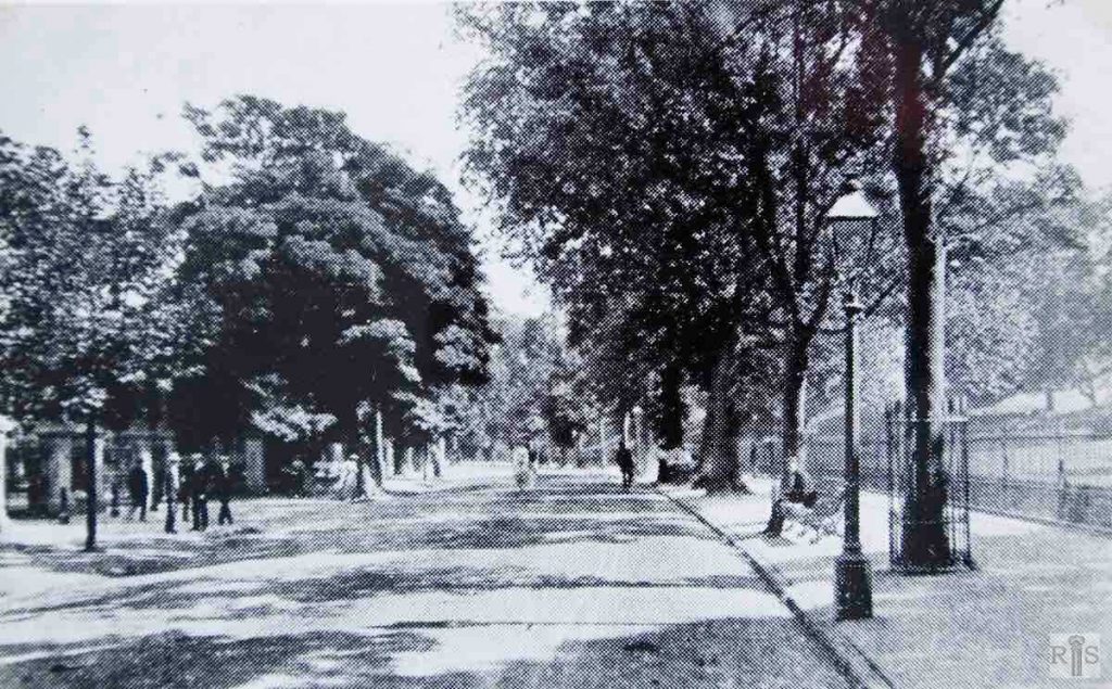
2019: The railings on the west side of Preston Park (right of photo) were removed in 1928, so today only the trees separate the park from Preston Road. In the 1900-10 image the garden walls of the villas on the west side of the road can be seen and some sections are still standing today.
James Gray: Period – sometime between 1900 and 1910. Note the gates at the north-western entrance to Preston Park, and also the railings around the Park, removed in 1929. The drinking trough went when the roadway opposite Preston Manor was widened a few years later. [Same image as jgc_18_139 below]. jgc_18_143
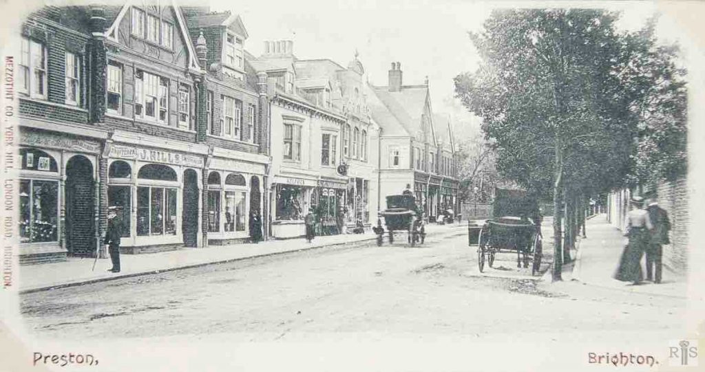
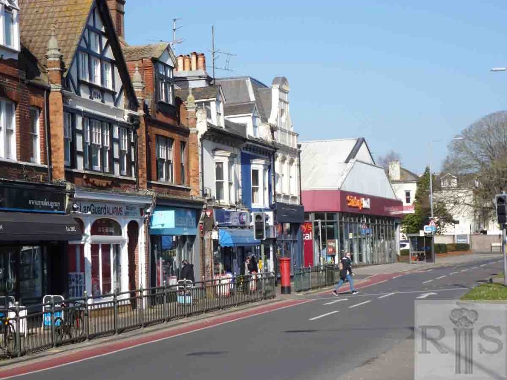
James Gray: View of shops along Preston Road in the village. Luck & Son, J. Hills, HJ Penfold, and H. Elphick, to name a few. jgc_18_144
2019: In the 1900-10 image, the carriage on the left is outside 225 Preston Road just before the junction with Lauriston Road. The houses on the left (Nos 215 to 225) are in commercial use in 2019, as they were at the earlier date. Between Lauriston Road and Cumberland Road there is now a Sainsbury’s Local store.
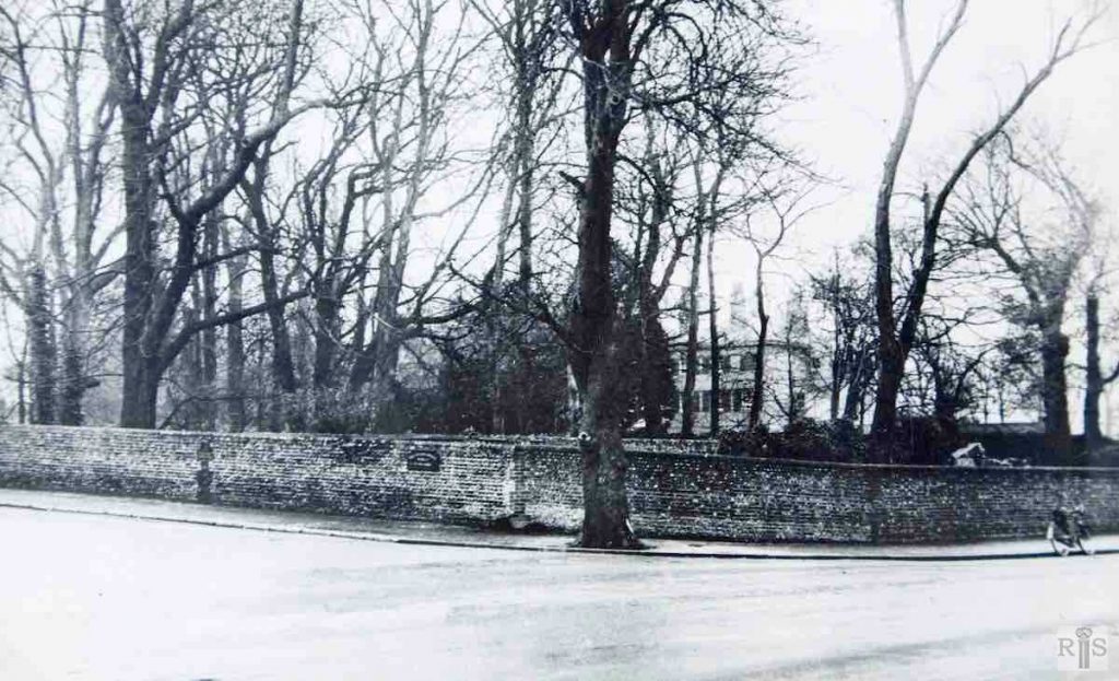
James Gray: The view across Preston Road to Preston Manor before the widening of the road and the removal of the old flint wall. jgc_18_177
2019: The main entrance to Preston Manor is now accessed via Preston Drove, just east of the corner of Preston Road seen here. The flint wall is gone and has been replaced by open garden adjoining the driveway and shrubbery to the perimeter. (Photographer: Jane Jordan)
James Gray: Three contrasting scenes [jgc_18_178, 179 and 180] at about the corner of South Road. A much later photograph, of 6 August 1955, taken from almost the same spot. Much of the Manor wall has been removed in 1935 when Preston Road was widened. An ugly and rather dangerous projection was left. jgc_18_179
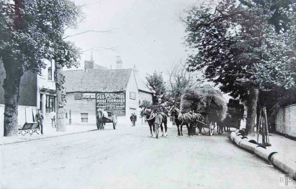
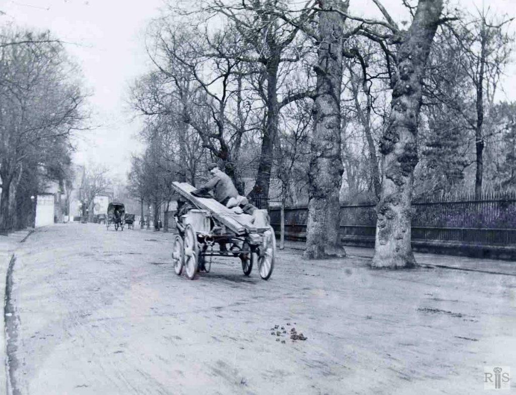
James Gray: A different view with haycart in the road. Note the reference to the Sussex Home for Lost Dogs in Robertson Road. Additional Information: Geo. Duncombe house furnisher. jgc_18_185
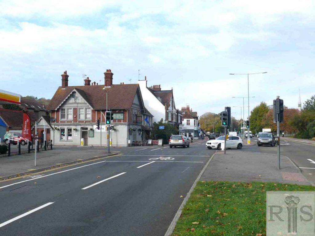
2019: Looking north at the junction of Preston Road and South Road. In the original image, the corner building on the far left next to the wall was the Black Lion, a three-storey building built in the 1850s and demolished in the 1970s to make way for the Shell Garage site.
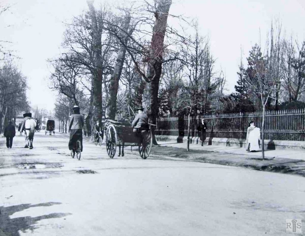
James Gray: The views at both ends of Preston Park, the period being about 1910. The chief contrast with the present day is the removal of the railings which went in 1928 and the absence of traffic. Additional Information: Horse and carriages. jgc_18_131
James Gray: Just beyond the north gates of the Park, about 1910. On the left was the entrance to the Bowling Green of Preston Club. Additional Information: Glimpse of cottages of Preston Manor. jgc_18_133
James Gray: View of Preston Road, opposite the north gates of the Park, period about 1907. The areas of the Rookery can be seen behind the railings on the right. [Same image as jgc_18_143 above]. jgc_18_139
James Gray: This photograph taken in 1951 shows old buildings which had stood at the north side of this short road for many years. Probably at one time part of Preston or Manor Farm, for most of the present century the large area was occupied as a depot for Corralls, Coal Merchants. Indeed this usage continued until quite recent years.
