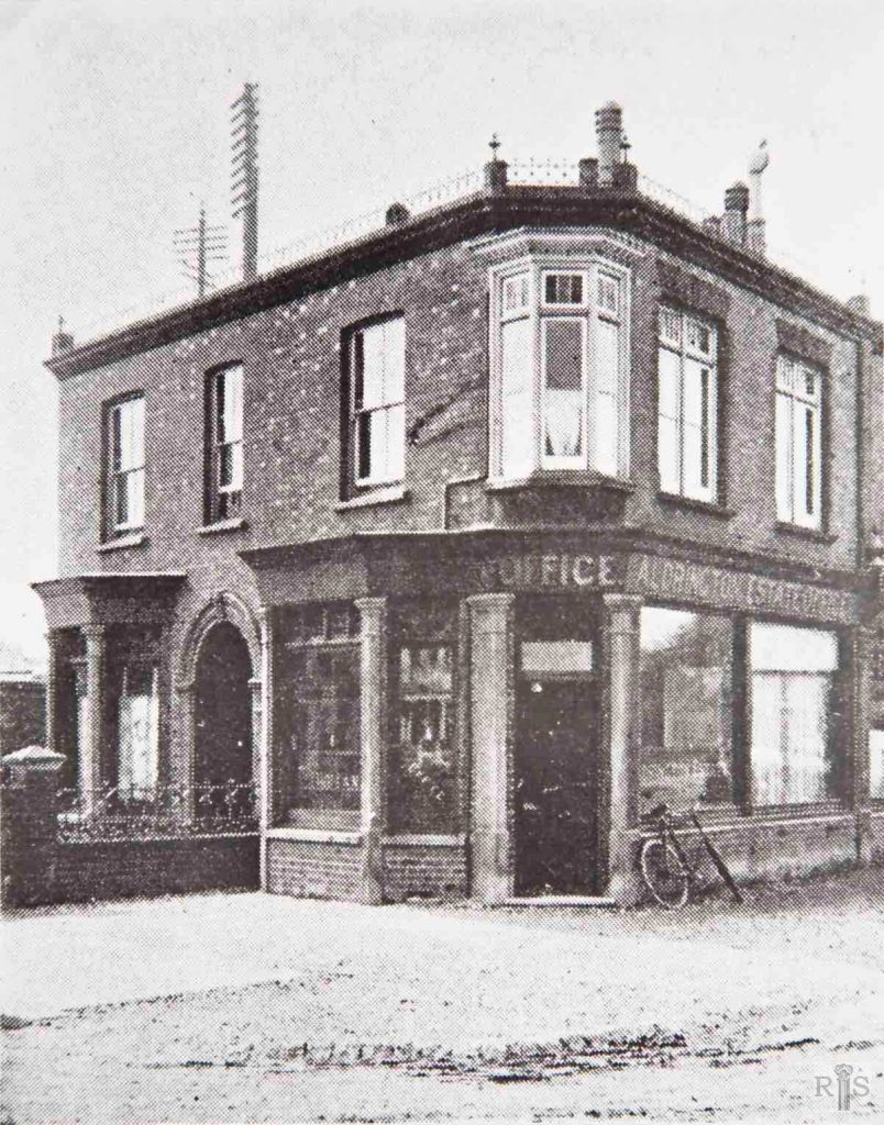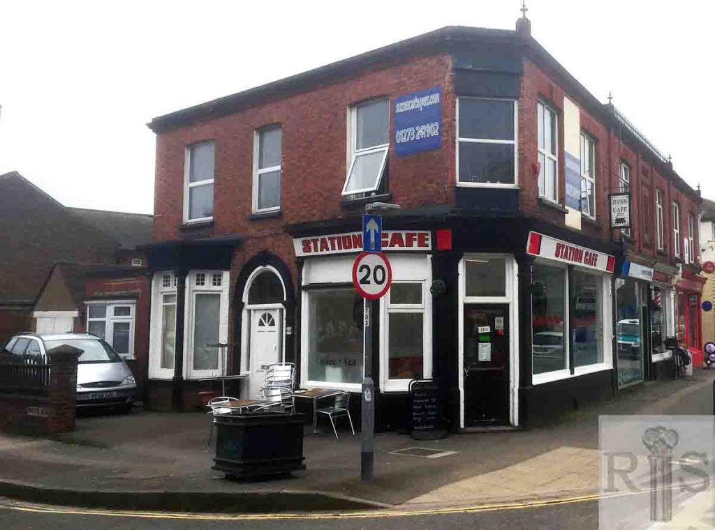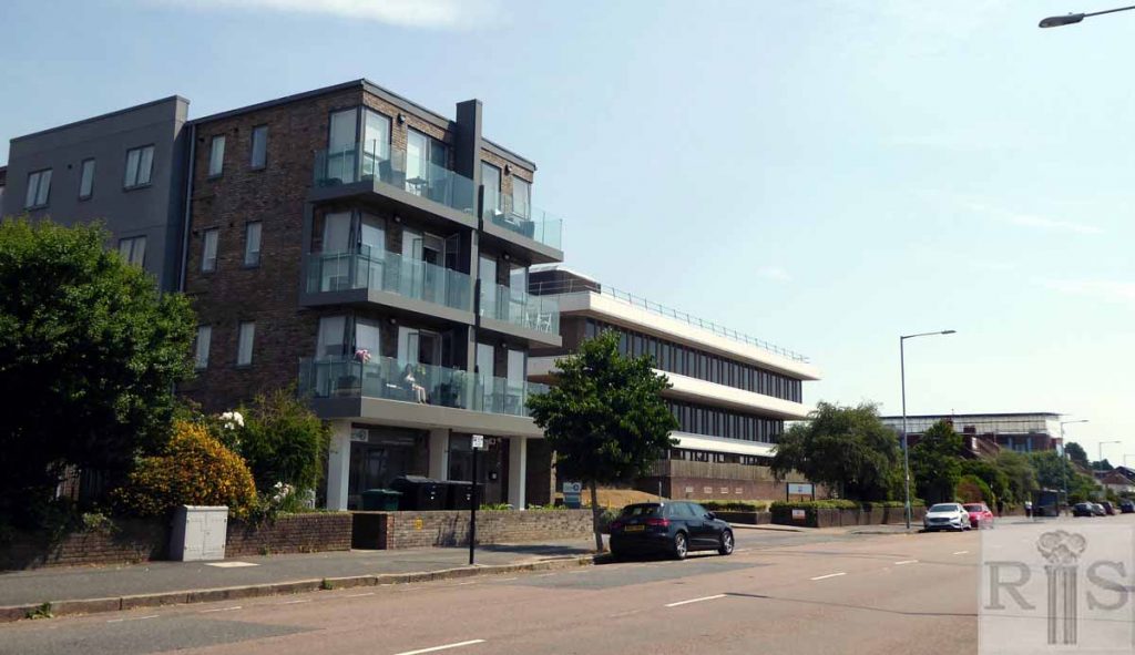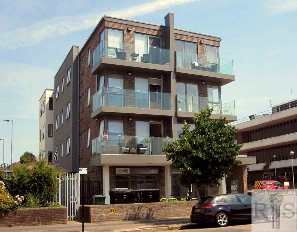
James Gray: These photographs [see also jgc_15_161 and 163 on the Boundary Road/Station Road page] show the marked changes in this area during the past 60 years. Aldrington Estate Office, Portland Road, at the corner of Worcester Villas, in 1907. jgc_15_162
2018: The old estate office building at No 430 Portland Road is now the Station Cafe and still has some of its original features intact. (Photographer: Steve Agace)
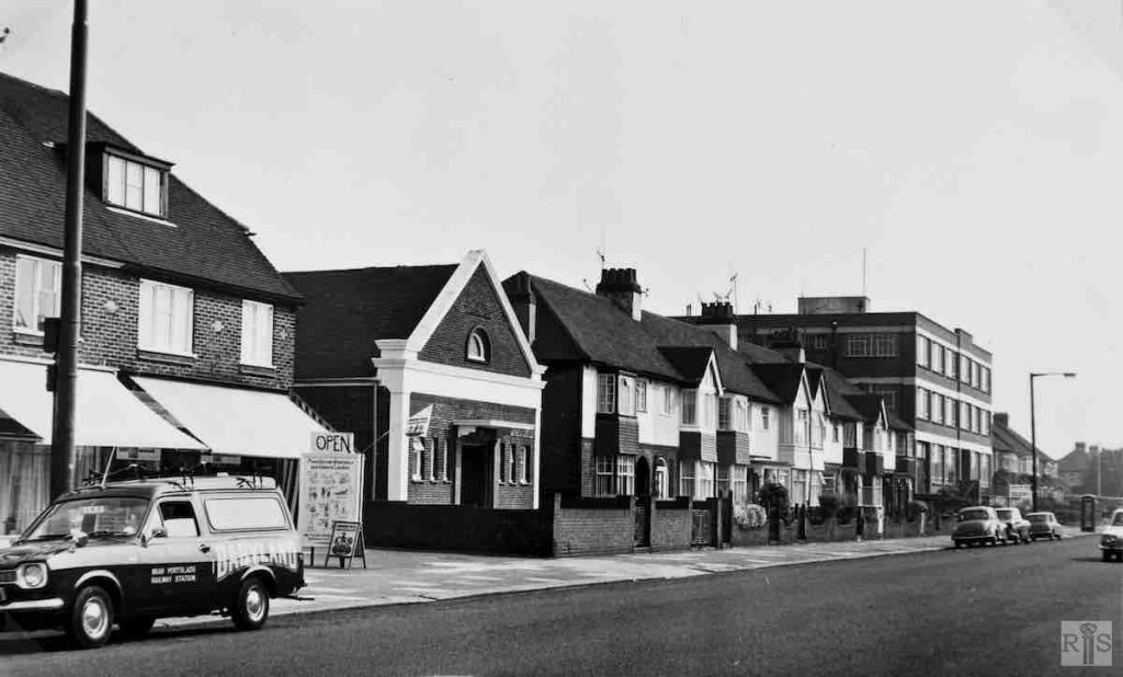
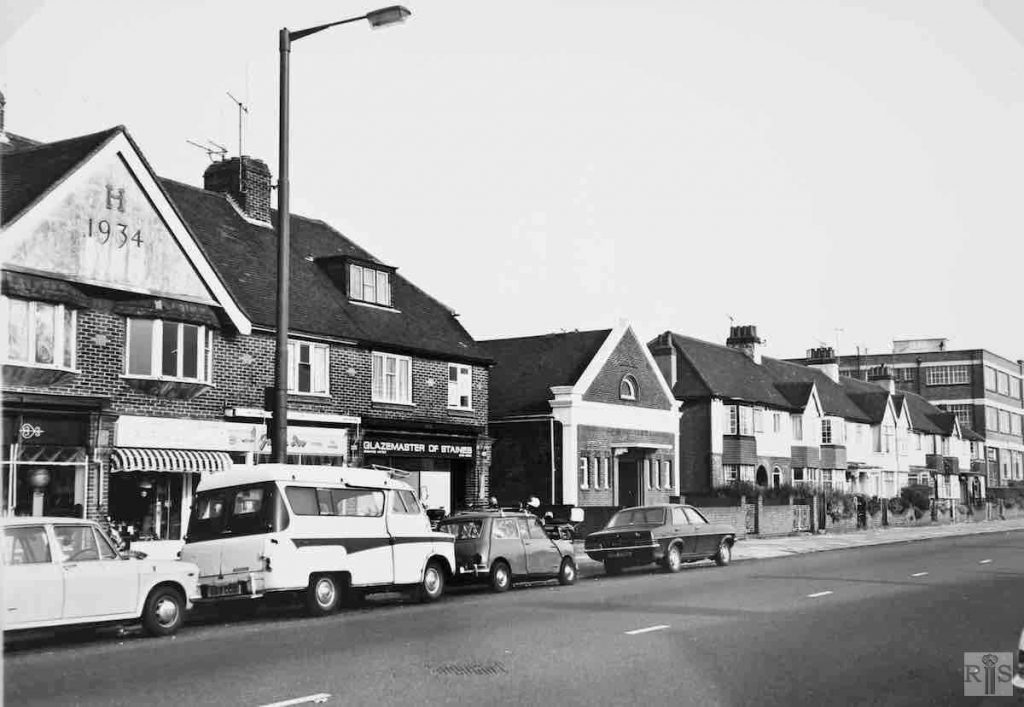
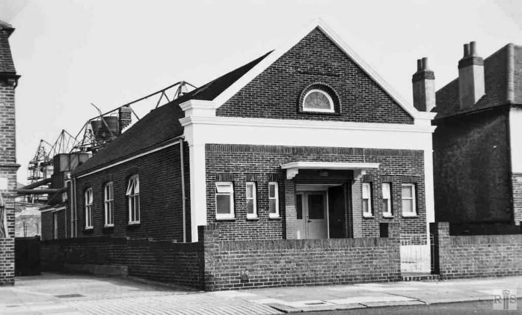
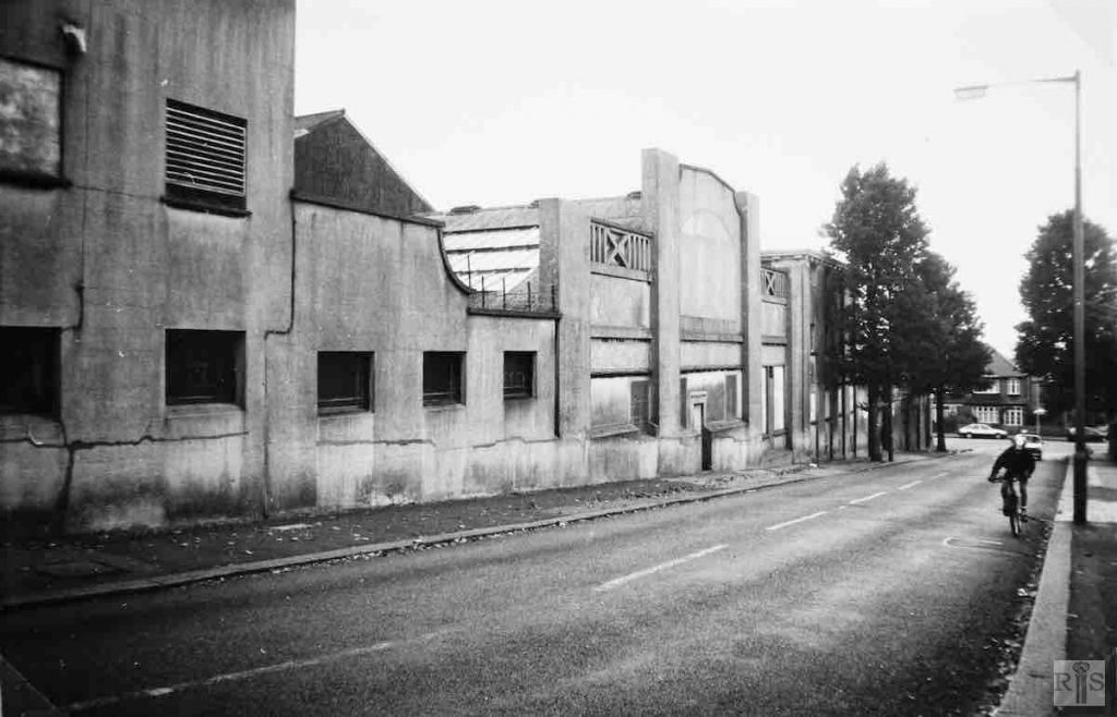
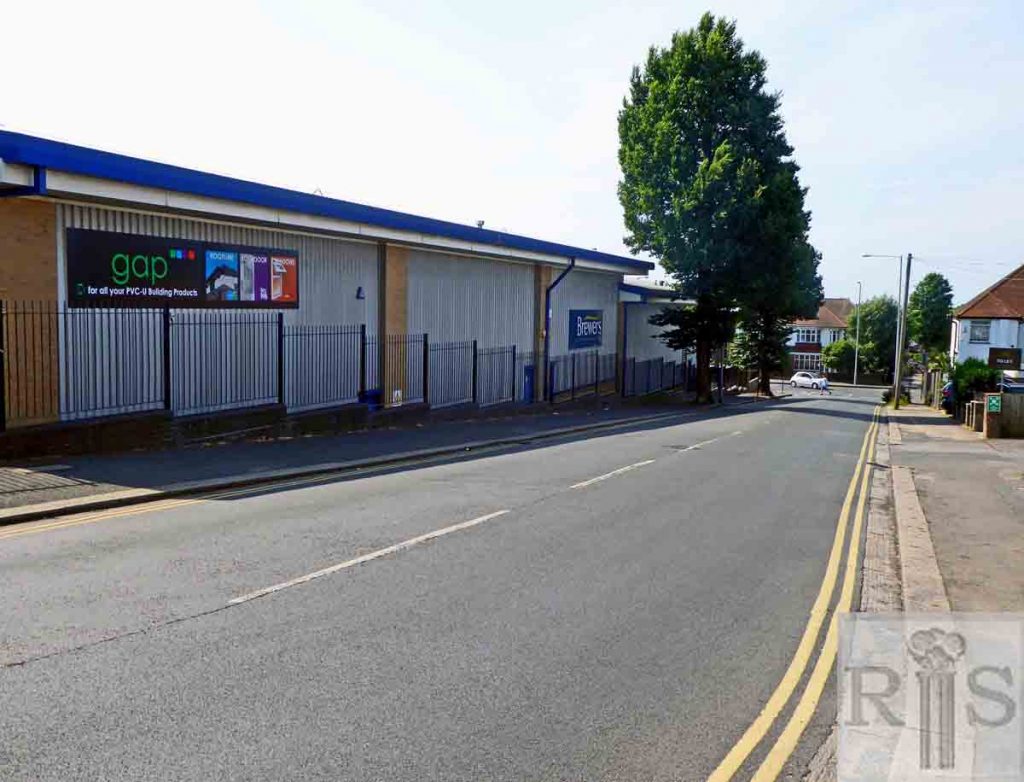
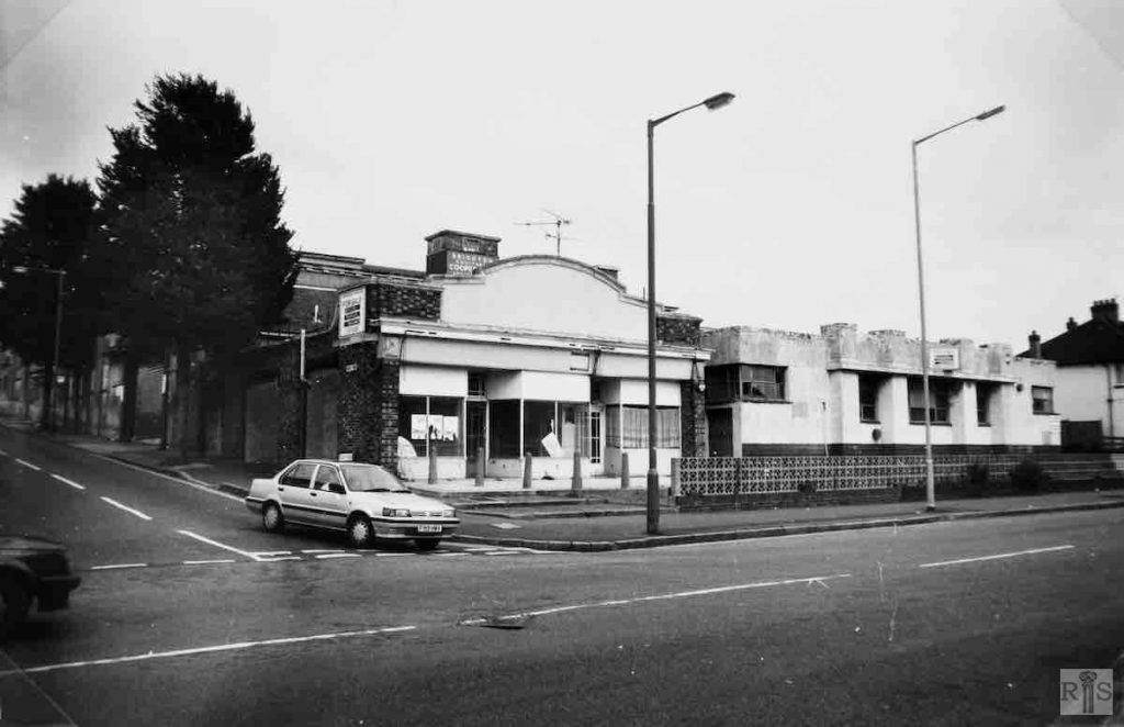
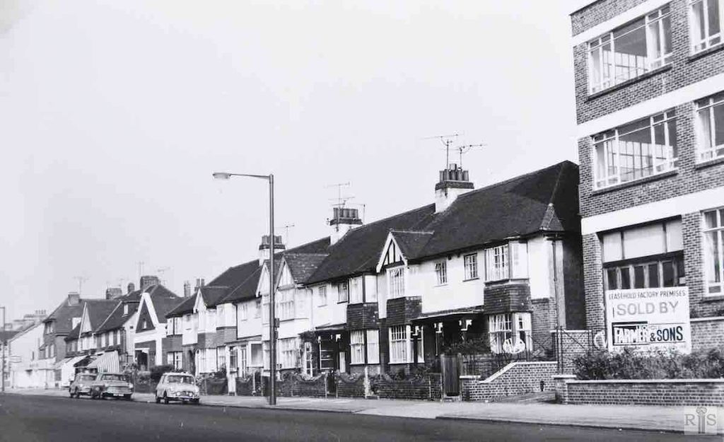
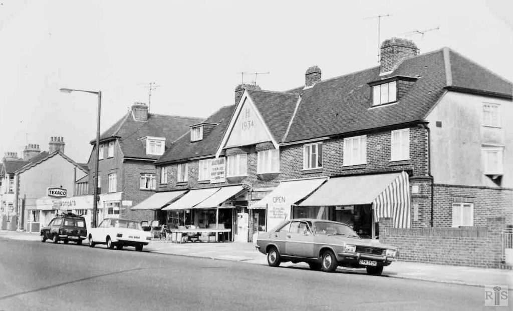
James Gray: The short lives of some modern buildings! When this photograph and jgc_16_046 and jgc_16_047 were taken on 9th September 1973, there was talk of many the buildings being cleared for a large redevelopment. In these photographs the eight houses to the left of the factory premises were built in 1923/3 and were originally called Rossiter Terrace. Then followed Stretton Hall, a Mission Room built in 1933, and then the six shops with the year 1934 in the centre gable.
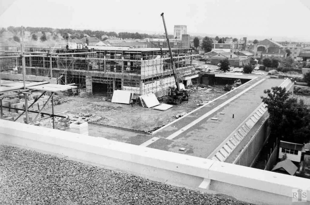
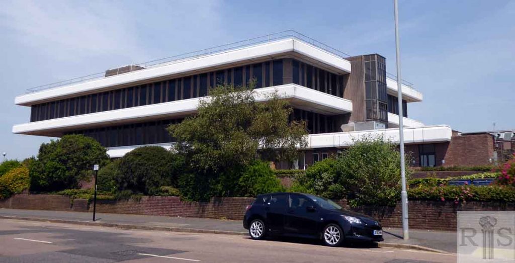
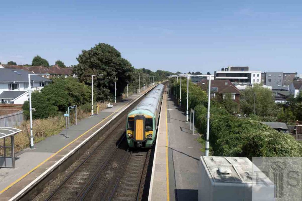
James Gray: After the demolition described in jgc_16_050, it was not long before work started on a vast new complex for SEEBOARD, comprising offices, stores, garages etc. Here in the summer of 1978, are two photographs (jgc_16_051 and jgc_16_052) showing the scale and degree of the development. This view looks west, with Portland Road at the left, and Portslade Station to the right. jgc_ 16_051 and jgc_16_052
James Gray: This complex of buildings owned by the Brighton Equitable Co-Operative Society Ltd. had a very modest start. In 1921 the society opened a bakery here, a small building erected on what was an empty field backing on the railway line as it approached Portslade Station. The present Olive Road did not exist, just a rough track leading to a farm accommodation bridge which was a relic of Aldrington Farm given up earlier in the century.
James Gray: This complex of buildings owned by the Brighton Equitable Co-Operative Society Ltd. had a very modest start. In 1921 the society opened a bakery here, a small building erected on what was an empty field backing on the railway line as it approached Portslade Station. The present Olive Road did not exist, just a rough track leading to a farm accommodation bridge which was a relic of Aldrington Farm given up earlier in the century.
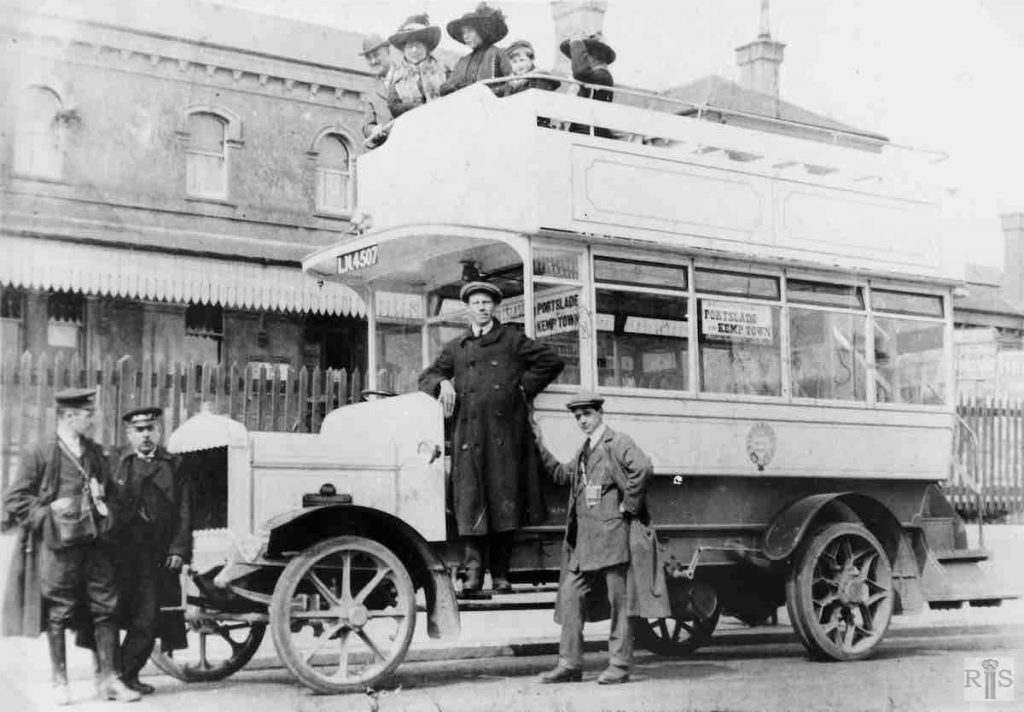
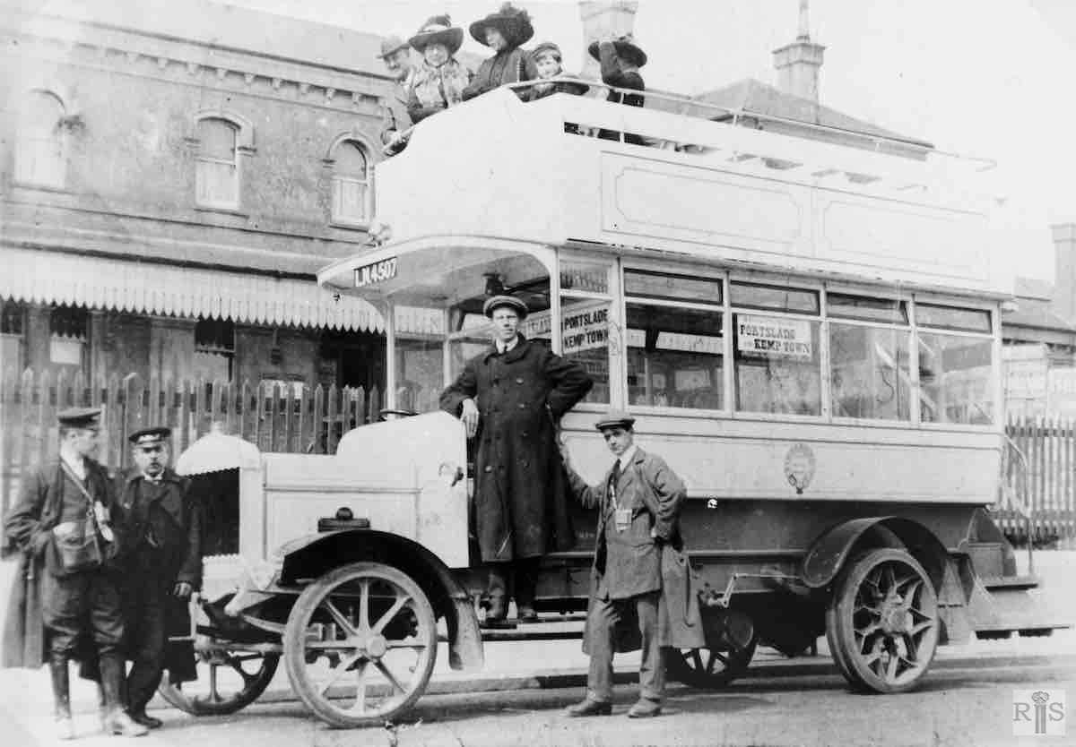
James Gray: A Straker Squire bus loaned to the old Brighton, Hove and Preston Omnibus Company. It was used on the No.1 route – Portslade and Kemp Town, and is seen here outside Portslade station. The year is said to be 1911. jgc_16_063
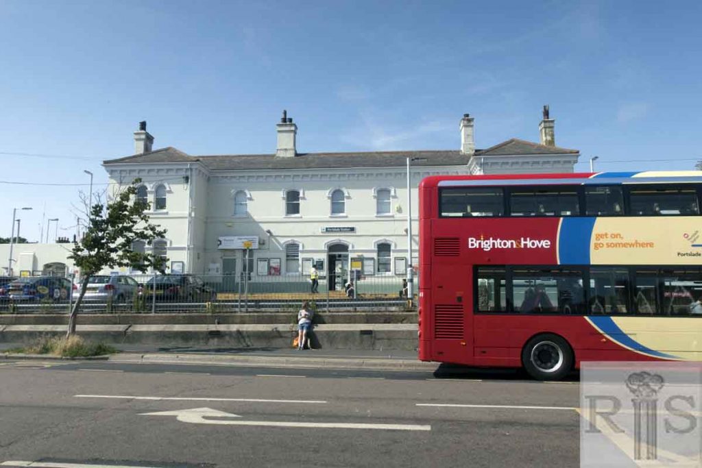
2018: Buses from Portslade Station now travel eastwards, hence the bus is facing the opposite way from Gray’s image. The station windows are unchanged in style, but the canopy no longer exists.
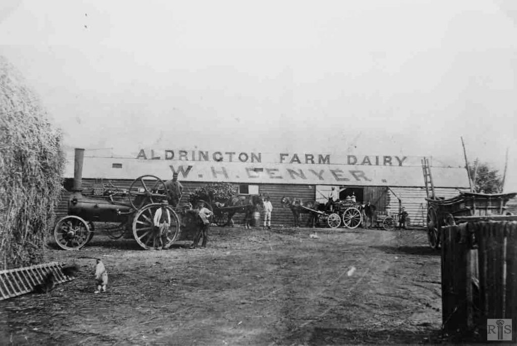
James Gray: This was just a small dairy farm about which not a great deal is known. It extended eastwards along Portland Road from Portslade Station for about 300/400 yards to just about where the entrance to Greens factory is now. Above the railway line it took in the meadow east of the track (now Olive Road) where the houses of Isabel Crescent are while to the west it extended as far as the present Margery Road. Twenty cattle were kept in three stalls with grazing land along the Portland Road frontage and a large number of chickens were kept.
James Gray: The farm worker, with his hay cart, is facing west into Portland Road, immediately in front of Portslade Station. Note the lamp posts (left) and station nameplate (right). Period sometime in the 1890s. A glimpse of the station house is seen on the extreme left. At this time, the west end of Portland Road was just a country track. jgc_16_070
James Gray: The short lives of some modern buildings! When these photographs were taken on 9th September 1973, there was talk of many of the buildings being cleared for a large redevelopment. In these photographs the eight houses to the left of the factory premises were built in 1923/3 and were originally called Rossiter Terrace. Then followed Stretton Hall, a Mission Room built in 1933, and then the six shops with the year 1934 in the centre gable. Now, in May 1976, all have been demolished, except for Stretton Hall, and it is said that when the large cleared site is built on, the development will go around the Hall, which will remain. We shall see! jgc_16_046
James Gray: See caption for jgc_16_046 above. jgc_16_047
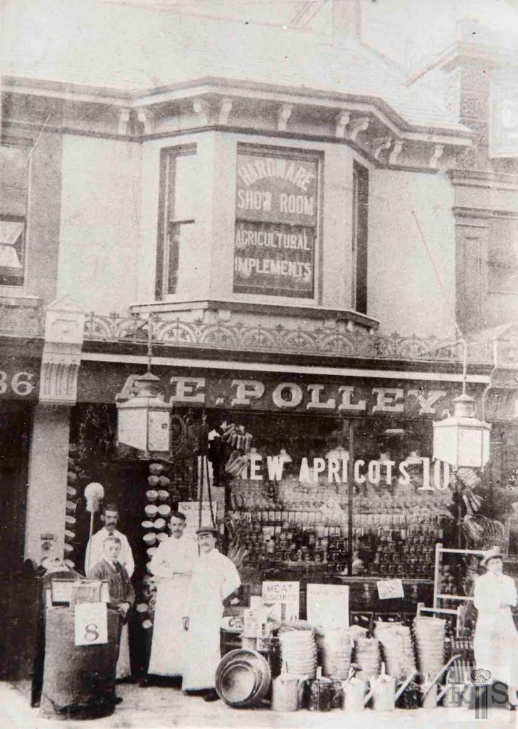
James Gray: No 86A, the shop of Arthur E Polley, oil and colour man, period 1880s. This site is now part of Sainsbury’s self-service store, the old building having been demolished a few years ago. jgc_14_153
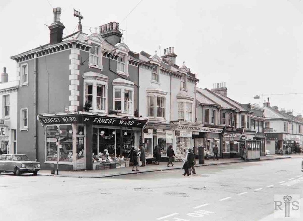
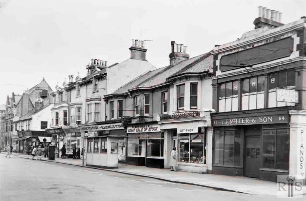
James Gray: The extensive site consisting of 84 – 88 Blatchington Road, with the return frontage to Haddington Street which was demolished in mid-1965. On the cleared area is now being built a Sainsbury’s Self Service Store. Built in the 1870s they formed part of the original Conway Terrace. Miller’s shop was at one time the Empire Cinema. Compare this photograph with those of the cinema on other pages. jgc_14_152
James Gray: See caption for jgc_14_152 above. jgc_14_150 and 151
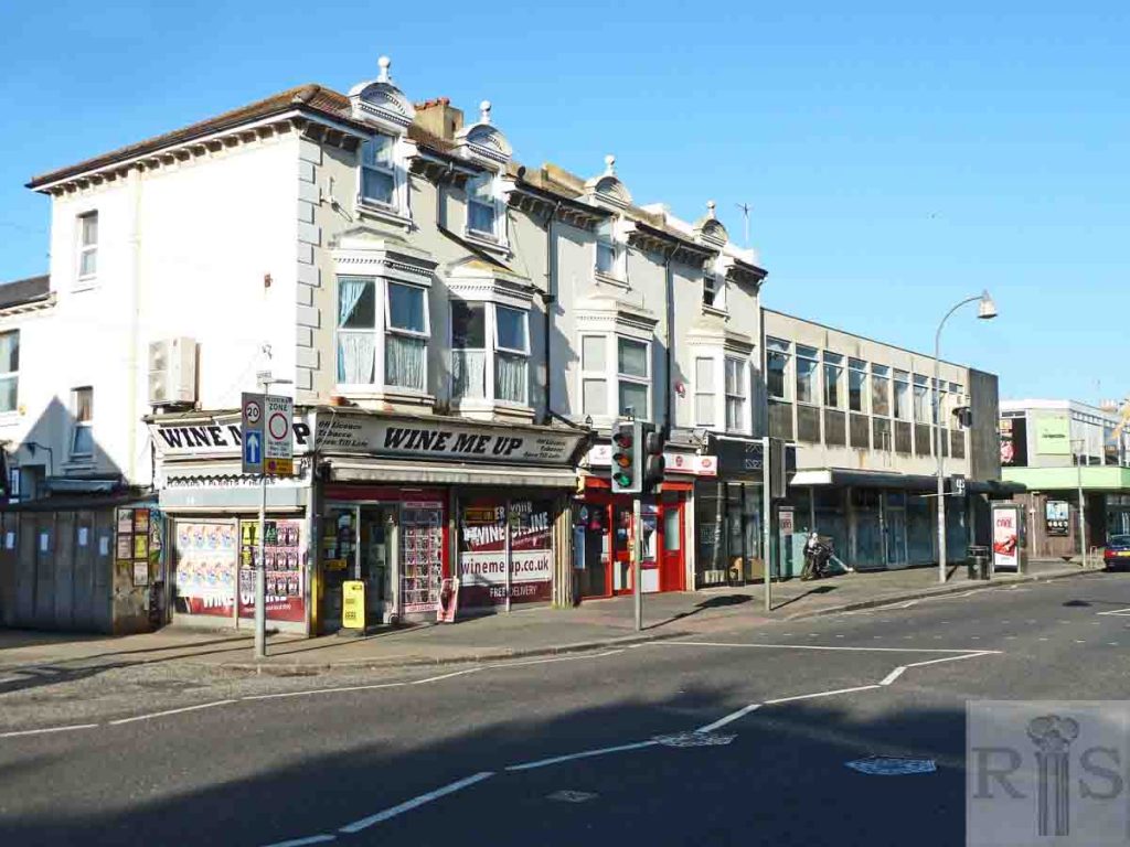
2018: The Sainsbury’s store was built but closed in the early 1990s. 84-88 Blatchington Road is currently unoccupied. (Photographer: Ivor O’Mahony)
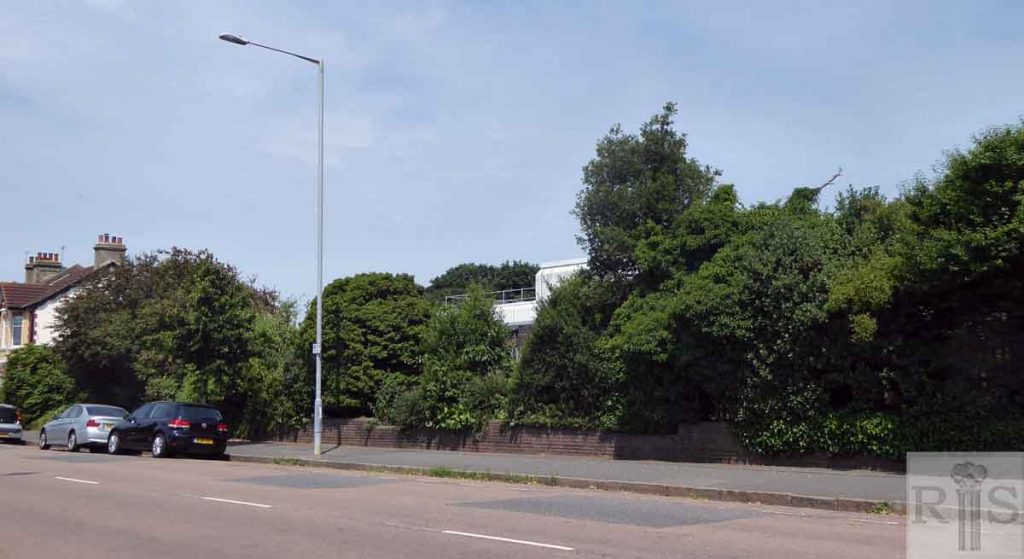
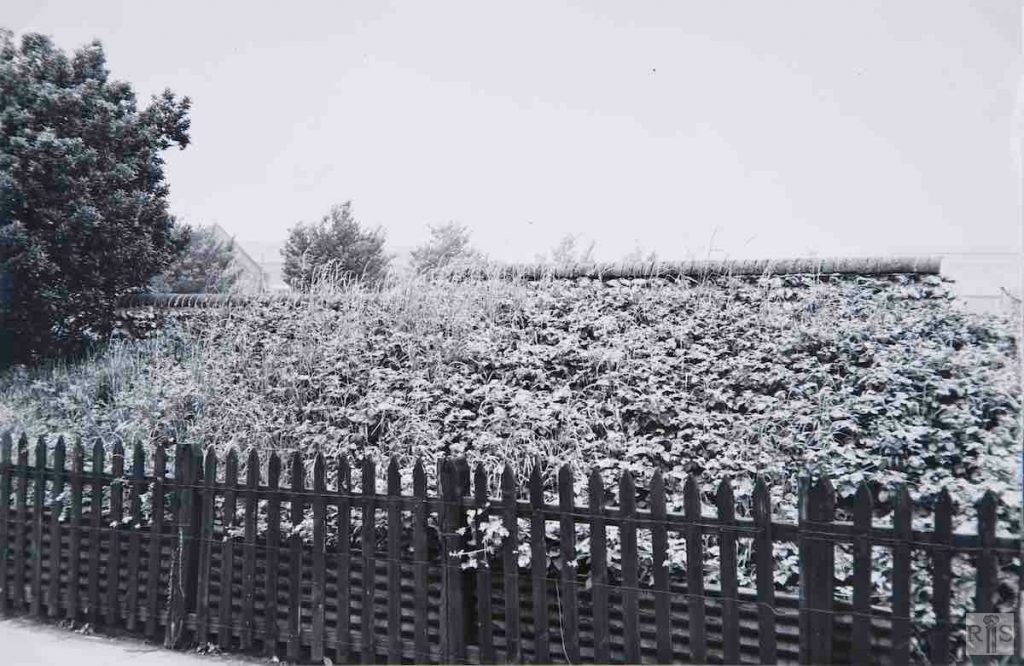
James Gray: The purpose of taking these seemingly very ordinary photographs of this now very busy road is to have some record of the old flint wall, so out of keeping with the neighbouring modern buildings. When this was just agricultural land Aldrington Farm Dairy occupied this ground and the low wall was erected to screen the farm from the country road. A similar wall ran along the occupation road within the farm, and can be seen in the two photographs [jgc_16_071 and jgc_16_072 on the Olive Road page] of Aldrington Cottages, seen on another page. The wall has since been demolished. The photographs were taken in June 1963. jgc_16_044 and jgc_16_045
