Historic and Contemporary Images of Brighton and Hove
Based on the Regency Society James Gray Collection
  • Home page
    • James Gray
    • Project volunteers
    • Acknowledgements and copyright
    • Contact us
  • Master map
  • Street Index
  • Find a place
    • Neighbourhoods
    • Images of the seafront
    • Parks and Open Spaces
    • Redeveloped areas
    • Royal Pavilion Estate
    • Brighton Station
    • Street Index
HANGLETON

Poplar Avenue

Neighbourhood:
Hangleton
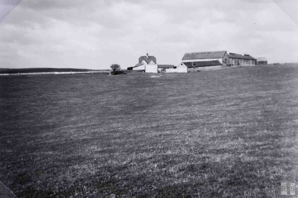
1937
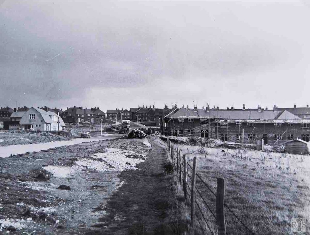
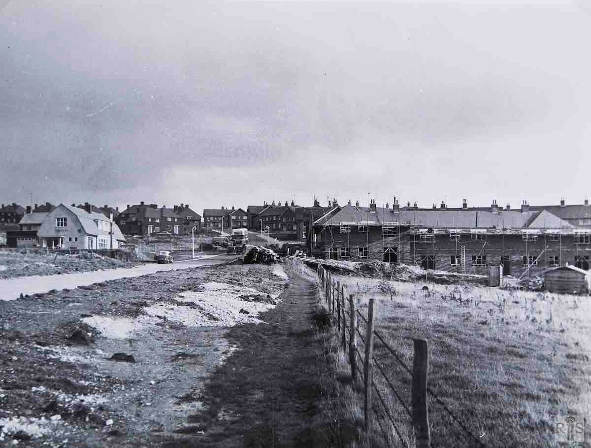
1960

James Gray: Church Farm buildings and Church Cottages from the valley to the south-east. Both photographs taken in the autumn of 1937. jgc_37_043

James Gray: Contrasting photographs. About 40 years later, in 1960, with the tide of buildings already beyond the church. Hangleton Way still in part a country lane and, on the right , the last houses in Poplar Avenue built.  jgc_37_095
Historic and Contemporary Images of Brighton and Hove
This website has been prepared by the Regency Society of Brighton and Hove. All historic maps are provided with kind permission of the National Library of Scotland (https://www.nls.uk/) regencysociety.org

Search