Sc
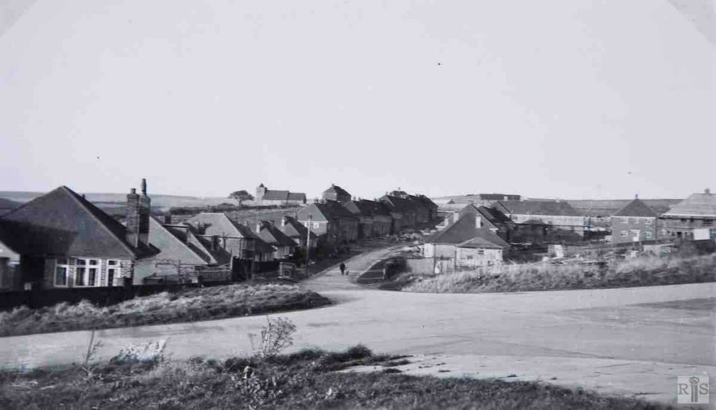
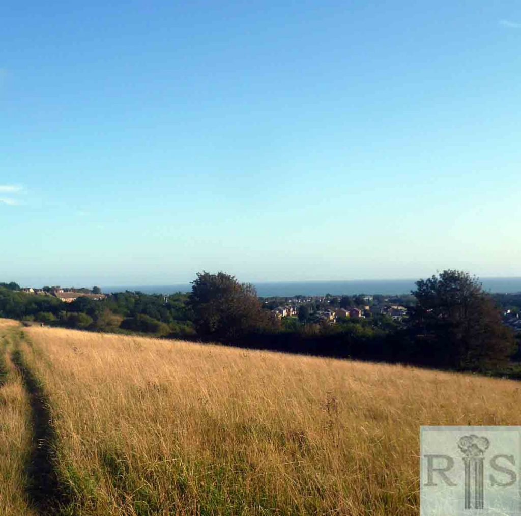
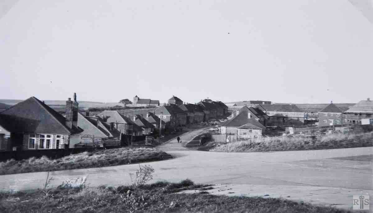
James Gray: From the junction of Northease Drive and Sherbourne Road to Hangleton Farm and Church. The bungalow in the left foreground was built in 1938 and stood in complete isolation for many years. jgc_37_063
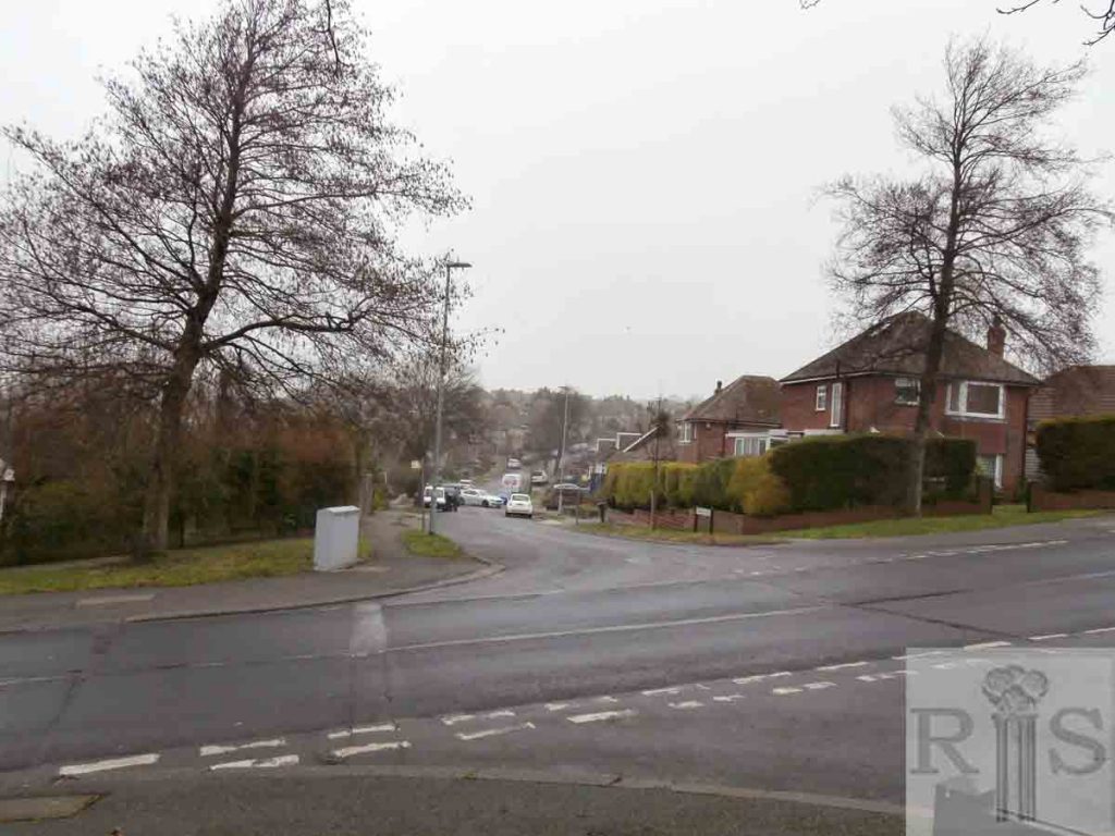
2019: This 2019 image was taken from the north end of Gleton Avenue looking north across Northease Drive and up Sherbourne Road. The church seen in the James Gray image is now obscured by housing, the building of which commenced in 1951 and formed the first part of the St Helen’s estate of mainly post war council flats. Housing in the road initially consisted of just twelve bungalows. (Photographer: Ian Farrell)
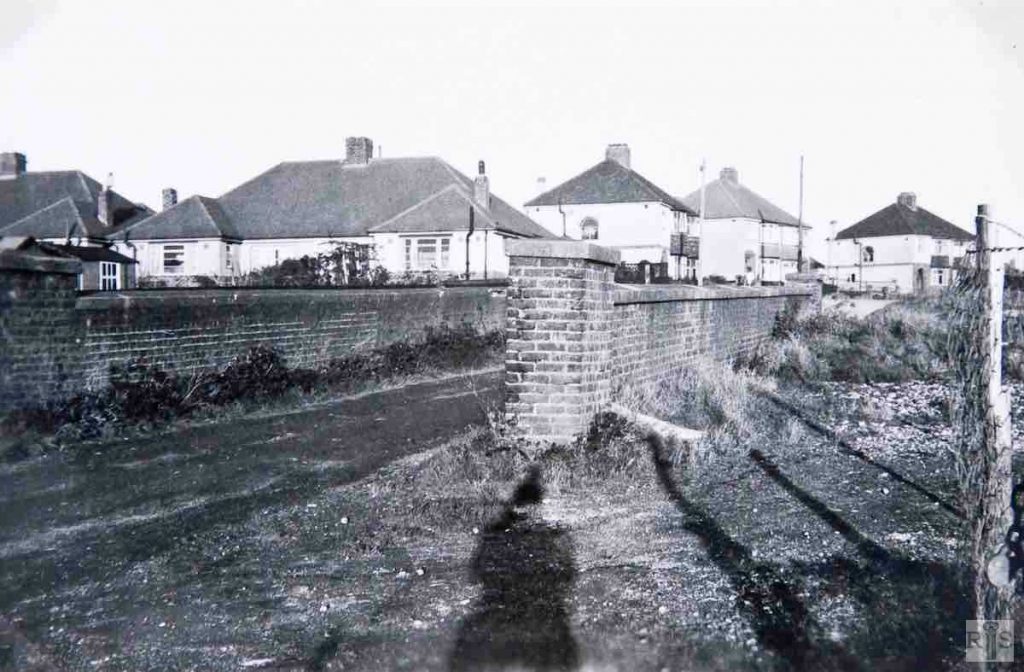
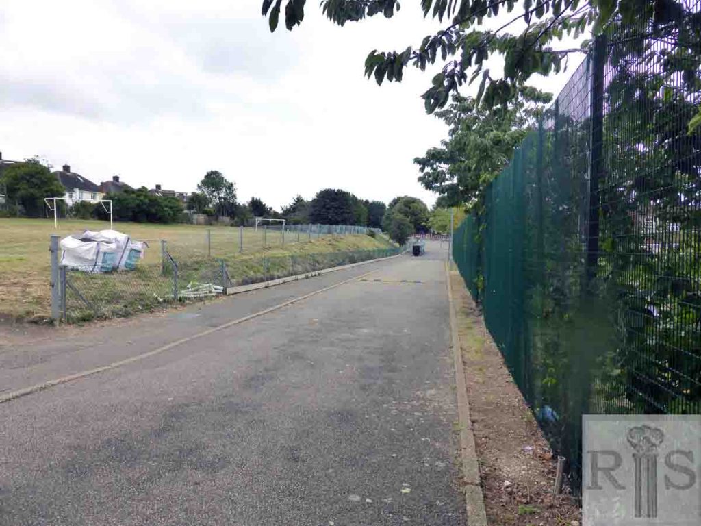
James Gray: The farm accommodation bridge at Northease Drive. This bridge was originally built to give access to Hangleton farm. At the time the photograph was taken the railway cutting had been completely filled up with rubble and earth. jgc_37_119
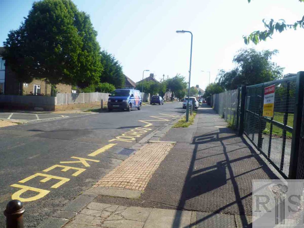
2019: The houses of Poplar Close have been built immediately to the north of the bridge and on the course of the Dyke Railway . To the south (right) the playing fields of Hangleton Junior School follow the course of the old railway. (Photographer: Mark Stephenson)
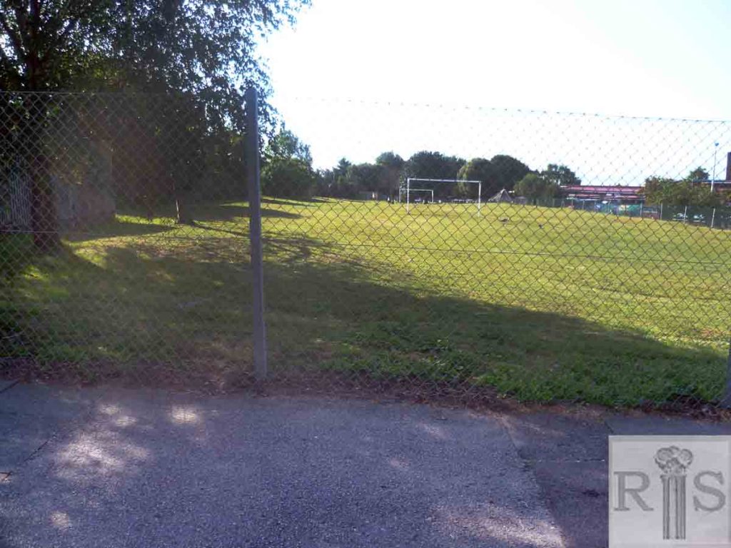
James Gray: March 1945 – the disused railway cutting being filled in with concrete tank traps removed from the seafront now that the War was nearly over. The bridge was removed in 1949 and the site is now covered by the gardens of Hangleton School. jgc_37_121
2019: Looking south from the site of the old bridge. The filled-in railway cutting is part of Hangleton Junior School’s playground. (Photographer: Mark Stephenson)
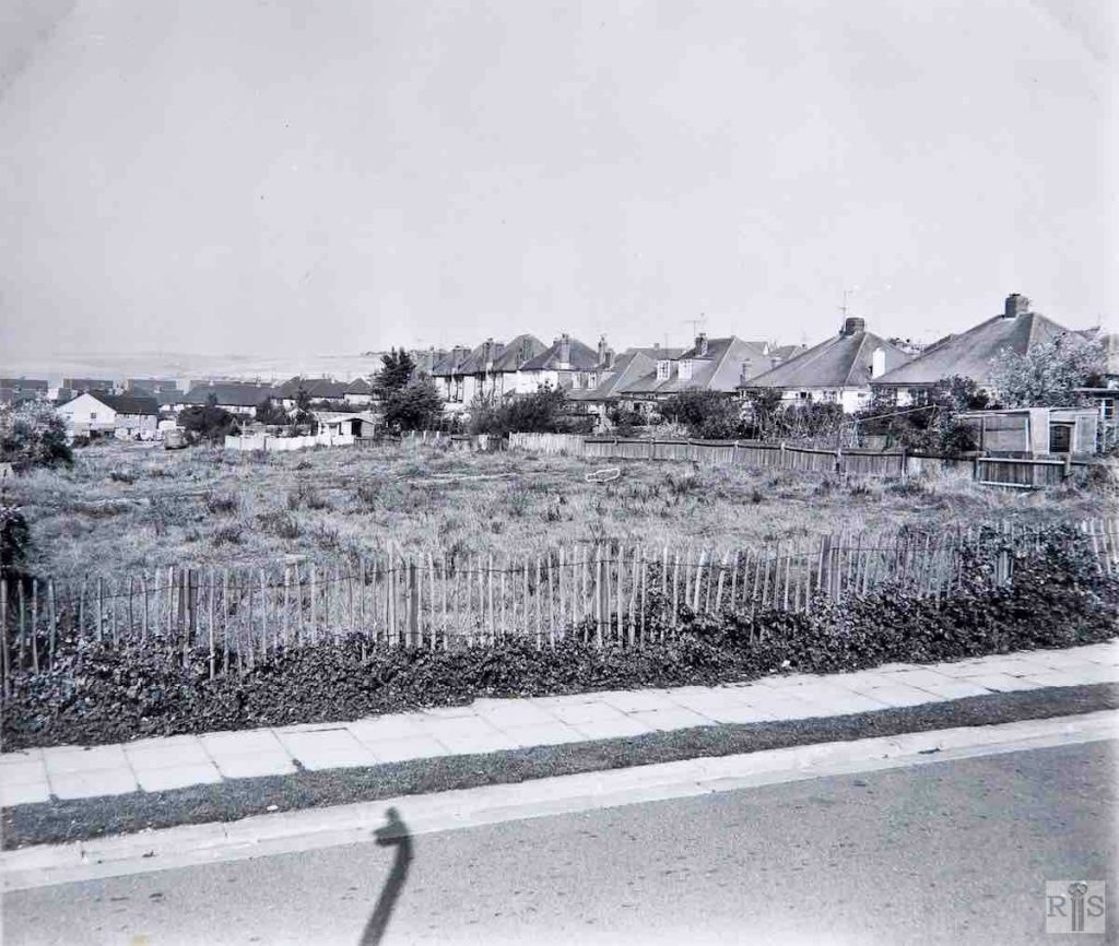
James Gray: This view gives a distant view of houses in Applesham Avenue. jgc_37_135
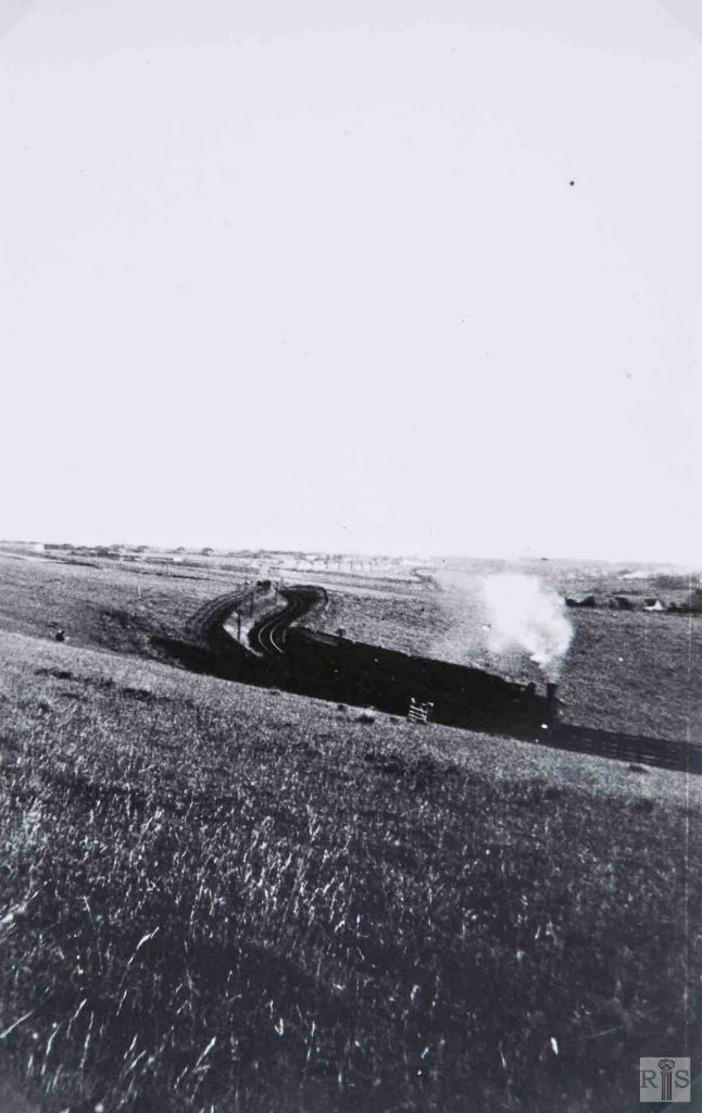
2019: The Dyke Railway line was closed on 31 December 1938. Parts of the route and sections running alongside it have been made into the Dyke Trail which runs from Hangleton towards the Dyke. The area depicted in the James Gray image has been built up so the gate in the field and the chalk embankment have gone.
James Gray: Many years ago, when the railway was in operation, it crossed West Way – right – then a farm track, by a high bridge and embankment (see large photograph on a previous page). The bridge went during the 1939-1945 War, and in succeeding years the chalk embankment was gradually removed. Flats for the elderly have now been built on this cleared site. Date of the photograph – October 7 1962. 200 yards to the north, the railway entered a cutting, which passed under a narrow farm accommodation bridge (now Northease Drive – see jgc_37_119 above). Photographs of this bridge appear on other pages. For years afterwards the cutting was used as a tip until it was filled up. Council flats are now to be built here. [See also jgc_37_142 on the West Way page.] jgc_37_143 and jgc_37_144
2019: The road running left to right in all the images is Northease Drive and not West Way as implied by James Gray. Poplar Close in the centre of the modern image has been built over the railway land. (Photographer: Mark Stephenson)
