Historic and Contemporary Images of Brighton and Hove
Based on the Regency Society James Gray Collection
  • Home page
    • James Gray
    • Project volunteers
    • Acknowledgements and copyright
    • Contact us
  • Master map
  • Street Index
  • Find a place
    • Neighbourhoods
    • Images of the seafront
    • Parks and Open Spaces
    • Redeveloped areas
    • Royal Pavilion Estate
    • Brighton Station
    • Street Index
XAVERIAN COLLEGE GROUNDS

North Drive

Neighbourhood:
Queen's Park

1967
2018

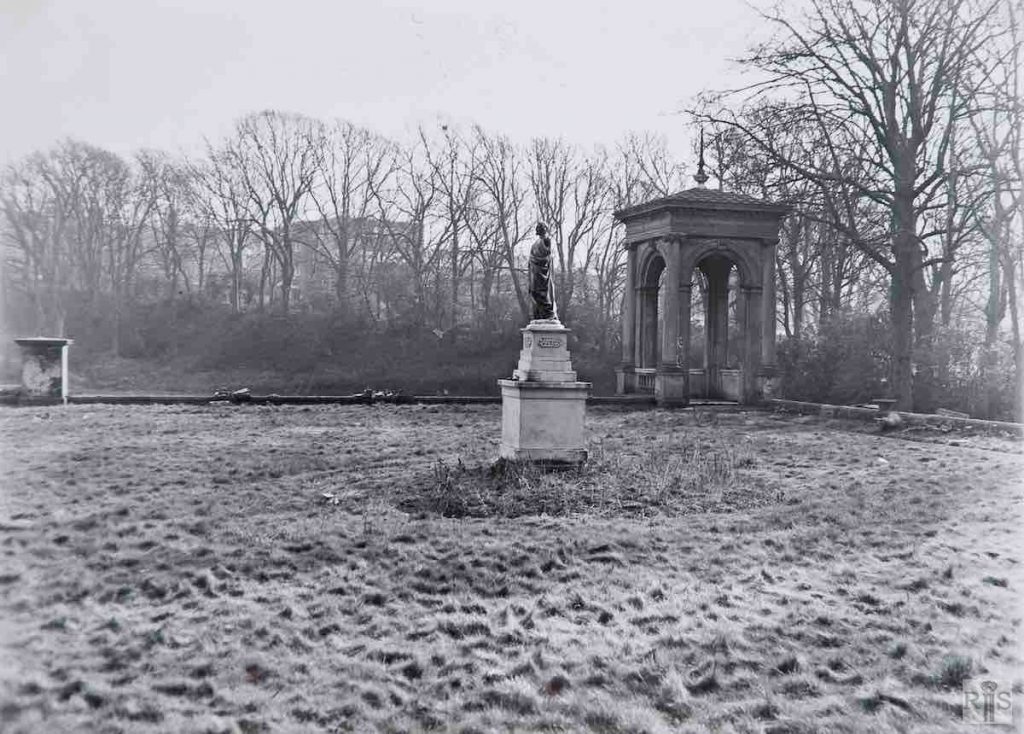
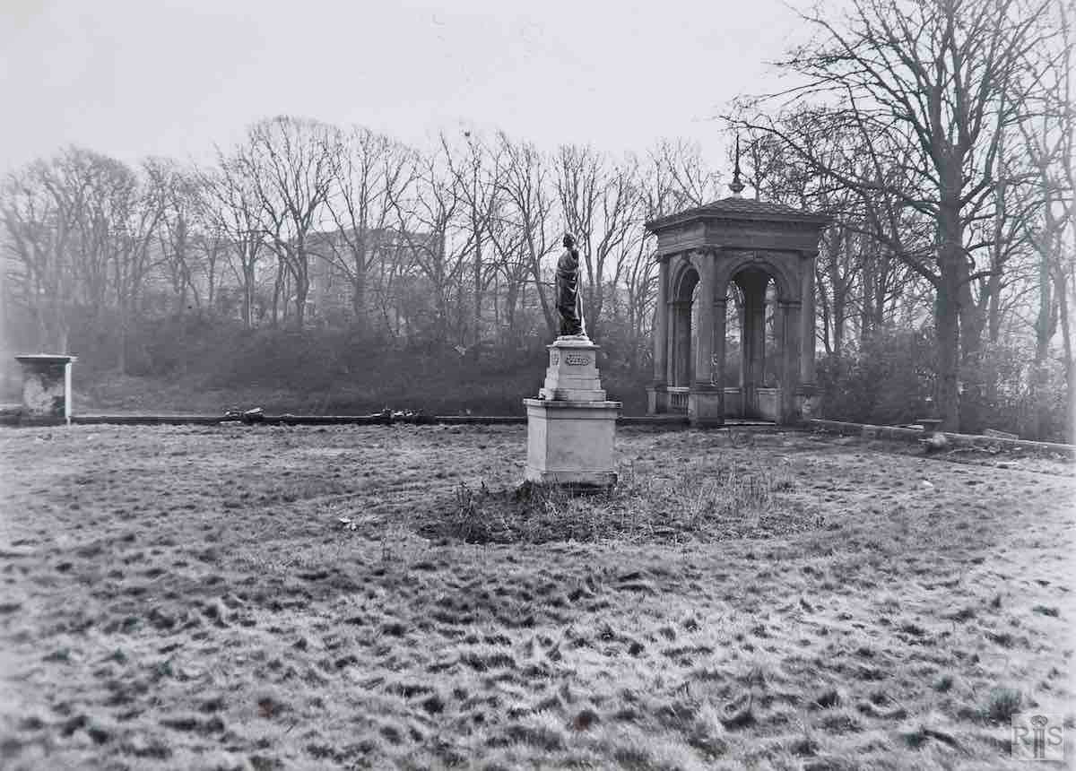
James Gray: More photographs of February 12th, 1967, showing buildings within the extensive grounds [see also jgc_24_187, 188 and 189 on the Queen’s Park Terrace page and jgc_24_ 191 on the West Drive page]. Although most of this area will later be covered by the new houses now being built, fortunately the main building, the Italian Villa will not be destroyed as it is the subject of a preservation order. Whether those seen in these photographs will escape remains to be seen.

Alas, I was too optimistic! The unoccupied Italian Villa gradually fell into dilapidation and decay, until the cost of restoration was deemed to be prohibitive. Five years after I wrote the above commentary, demolition started in March 1972. jgc_24_190

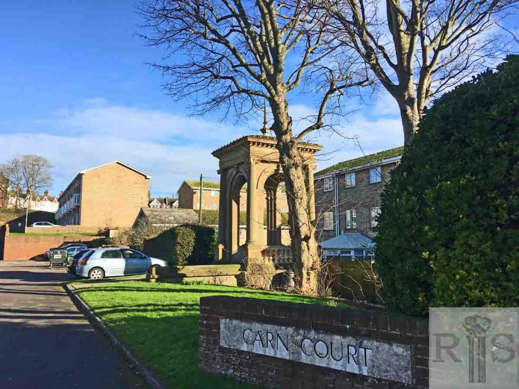
2018: The Xaverian College for Catholic Boys occupied Thomas Attree’s villa until the school closed in 1966. The site has been redeveloped since then. The statue has gone, and the little ‘temple’ is now surrounded by houses rather than countryside. (Photographer: Cicely Knowles)

More
Historic and Contemporary Images of Brighton and Hove
This website has been prepared by the Regency Society of Brighton and Hove. All historic maps are provided with kind permission of the National Library of Scotland (https://www.nls.uk/) regencysociety.org

Search