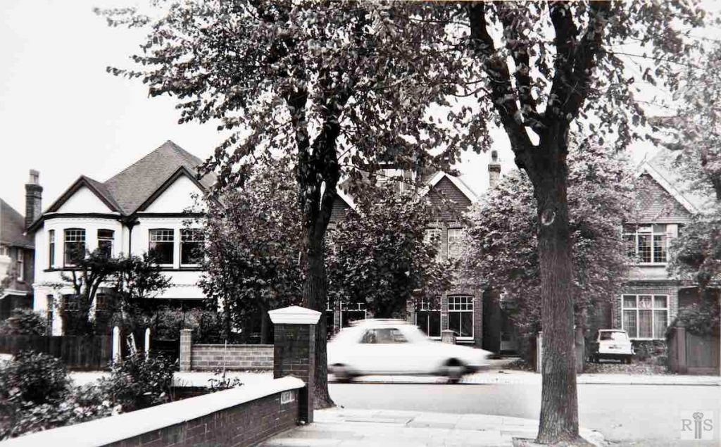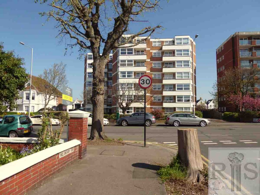
James Gray: This long straight road, not far distant from the sea, seems destined gradually but inexorably to be turned from the road of single houses to one block of flats, a process accelerated by the chronic shortage of building land in Hove. These photographs were taken on 22 October 1972. Below (jgc_15_105), the neighbouring Grosvenor House Hotel, seen in this photograph, still stands empty and windowless, doubtless to be removed before very long. jgc _15_104
2018: Three houses, Nos 49, 47 and 45, opposite Walsingham Road have been demolished and a block of flats called Derek House has been built on the site.
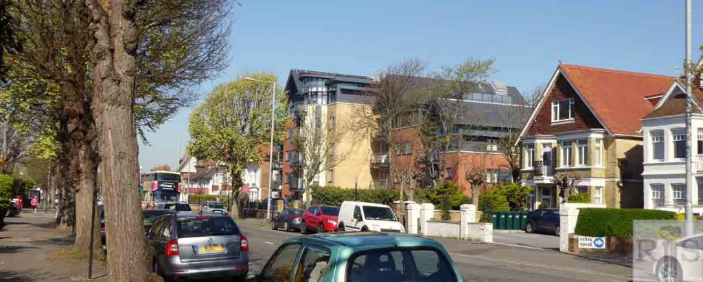
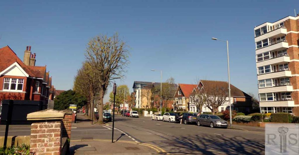
James Gray: [See jgc_15_104 above for text.] jgc _15_105
2018: The Grosvenor House Hotel was demolished, and a block of flats called Edward House has been built on the site. It was possibly named after Edward VII who used to visit Hove. The block of flats on the right in the original image is the rear portion of Rutland Court. The new image shows the front portion of Rutland Court as the rear is obscured by Edward House. (Photographer: Jane Cheema)
James Gray: This panoramic view was taken in 1900, from the top of Walsingham Road looking west. In those days it ran its straight course to Portslade, flanked by meadows, market gardens and brickfields. It affords a view of St Phillip’s Church and Lion Mews while, with the aid of a magnifying glass, both Wish Cottage and Wish Barn can be picked out. To the north can be seen Grange Road and Bolsover Road in course of building with a lone house in Portland Road. The horse bus to Brighton is standing at its terminus opposite Carlisle Road.
James Gray: A clearer version of the previous photograph and, for comparison a photograph (jgc_15_116, below) from the same corner, 60 years later. Most of the trees can be picked out in each photograph. jgc_15_115
James Gray: It was not until the late 1920s that most of the houses on the north side were built. The old photograph is too indistinct to show the lines of the old horse tramway which was then still in use but its position is indicated by the mark in the road, and parallel to, the north pavement. jgc_15_116
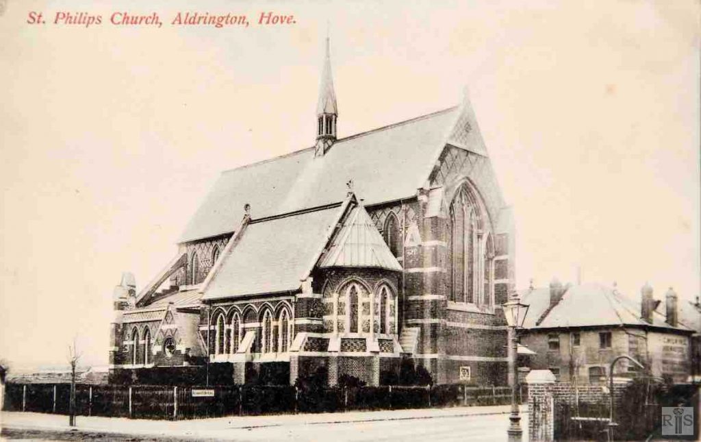
James Gray: A photograph of the eastern half of the [St Philip’s] church in the early years of this century. jgc_15_133
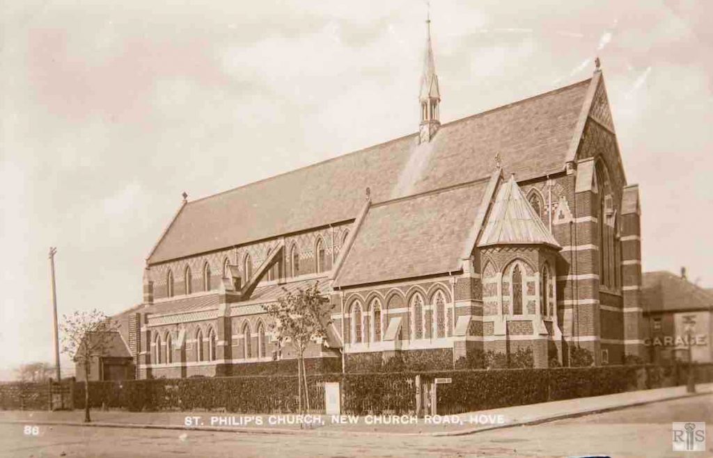
James Gray: A few years later, after the western half had been consecrated on 15 October 1910, the photograph shown here was taken showing only a little growth of the kerbside tree. Fields then separated the church from Portslade. jgc_15_134
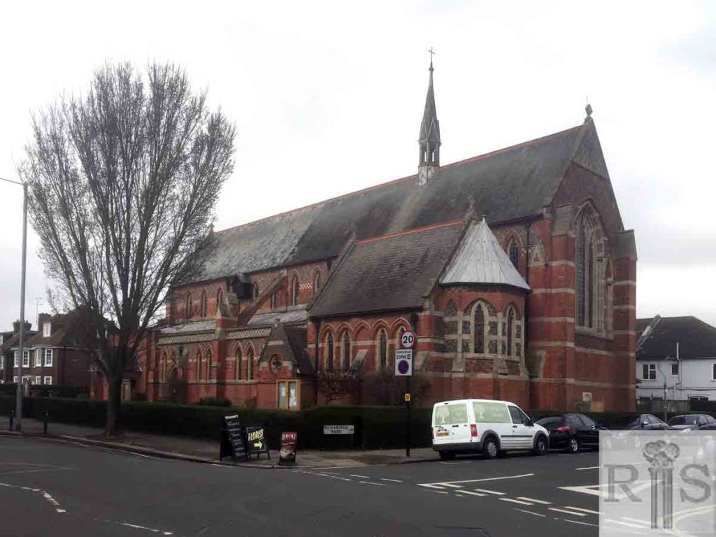
2018: St Philip’s Church was opened in 1895 and is still active today. Designed by Sir George Gilbert Scott’s son, John Oldrid Scott, the building is Grade II listed. (Photographer: Steve Agace)
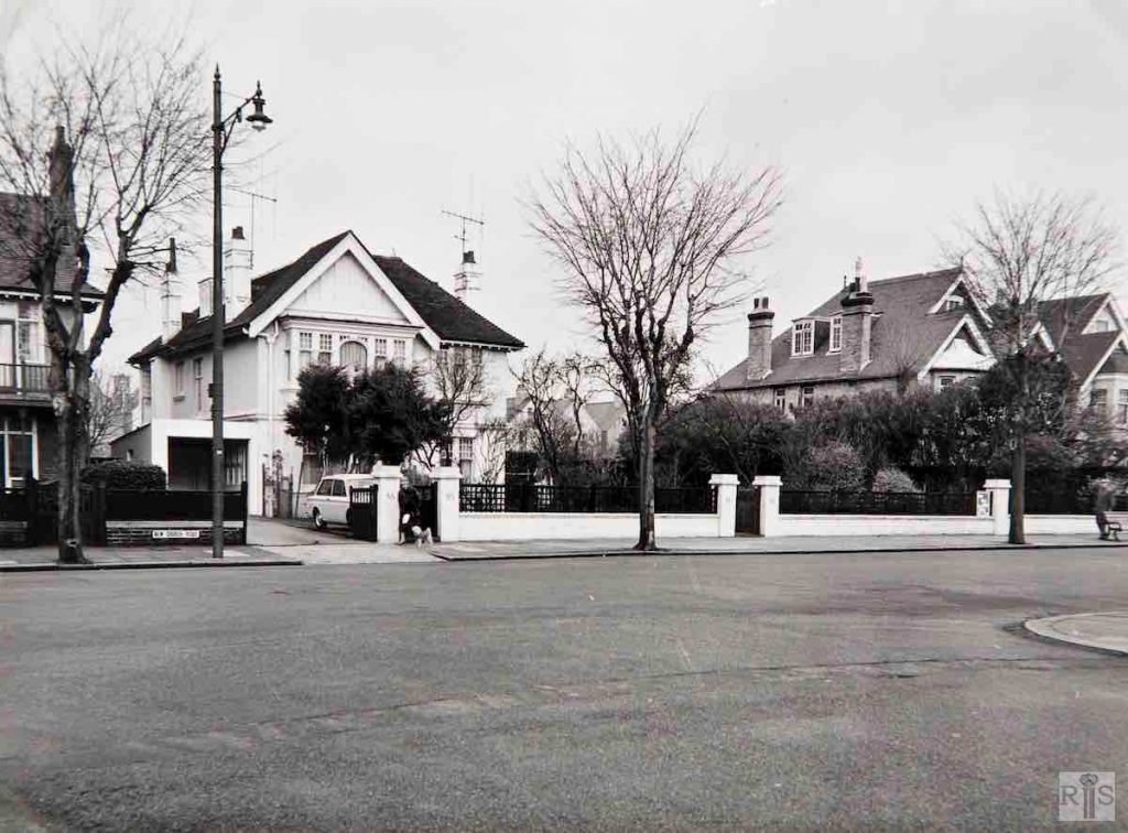
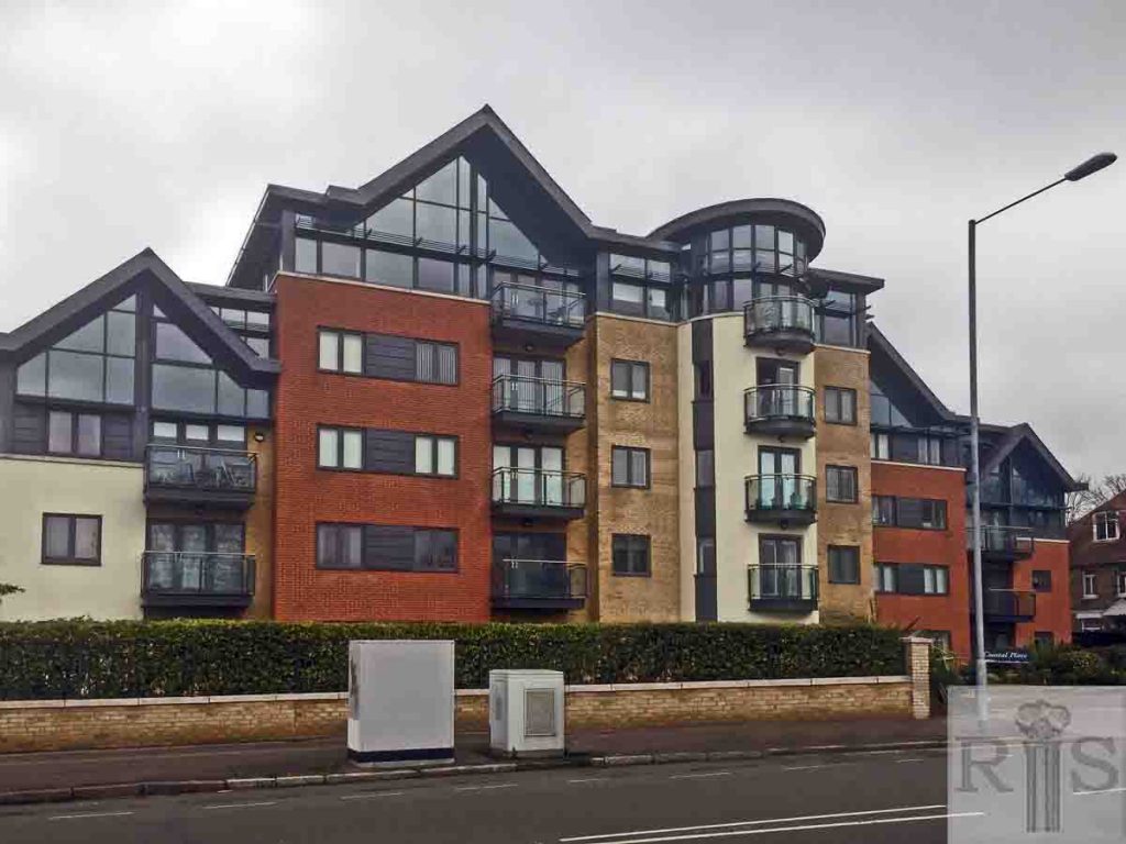
James Gray: The large white house, 55 New Church Road, photographed on 6 December 1964. Built at some time prior to the 1914/18 war, it has since been demolished and the site is now empty. Doubtless before long a block of flats will be built here as happens so often nowadays. jgc_15_136
2018: There is now a block of flats, Coastal Place, on this site. Coastal Place replaces the private Nuffield Hospital which had occupied the site from 1976 until its patients were moved to larger premises in Woodingdean in 2004. (Photographer: Steve Agace)
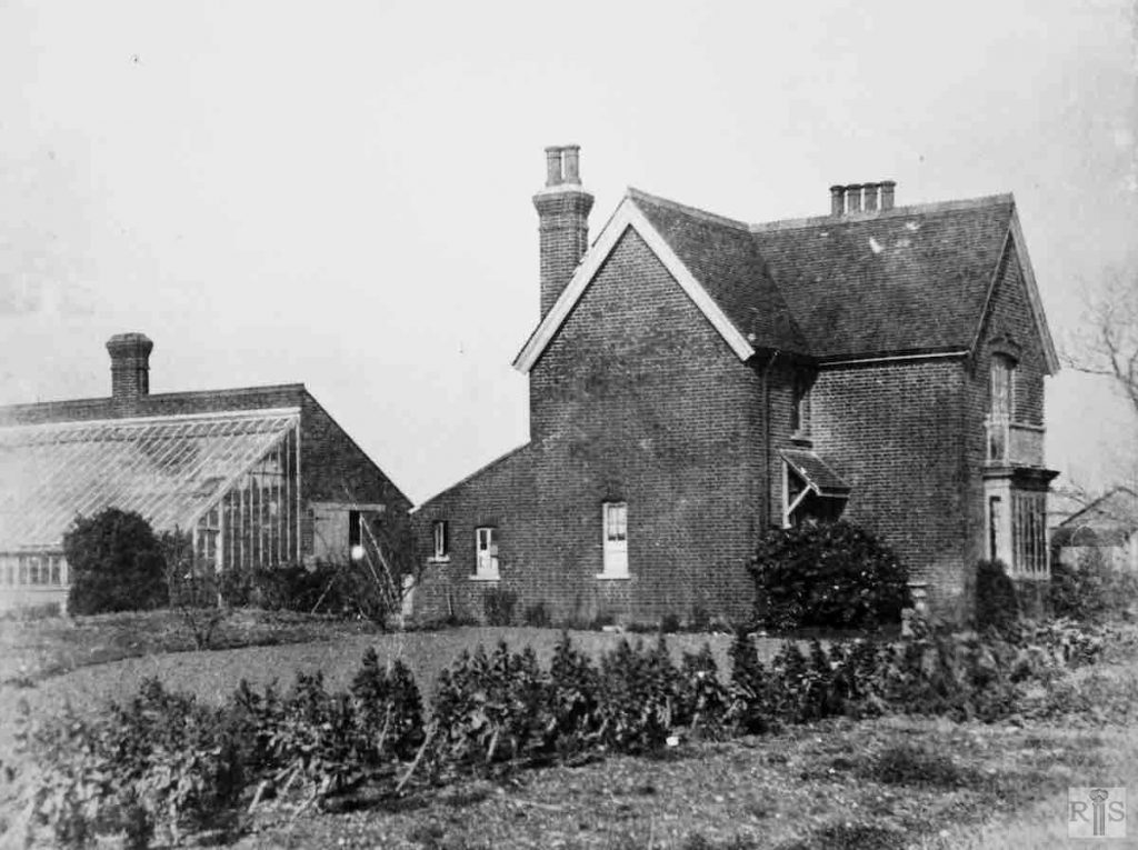
James Gray: [Lelliott’s Nurseries] These formerly stood north of New Church Road, just about on the site of the present Amesbury Crescent. The house, which was built about 1870, was approximately 60 yards back from the road and it was approached by a rough cinder track which ran from New Church Road to Portland Road. The nurseries were to the south and west of the house. The photograph was taken during the 1920s. When the land was sold for building, the nurseries were given up and the house demolished, about 1930. jgc_16_056
