Historic and Contemporary Images of Brighton and Hove
Based on the Regency Society James Gray Collection
  • Home page
    • James Gray
    • Project volunteers
    • Acknowledgements and copyright
    • Contact us
  • Master map
  • Street Index
  • Find a place
    • Neighbourhoods
    • Images of the seafront
    • Parks and Open Spaces
    • Redeveloped areas
    • Royal Pavilion Estate
    • Brighton Station
    • Street Index
THE FRIENDS BURIAL GROUND AND MEETING HOUSE

Marina Way

Neighbourhood:
Eastern Brighton
1925
2020

James Gray: In this photograph taken from almost opposite the old Cliff Creamery, can be seen the whole length of the east side of the road with the present Wilson Avenue in the background. On the left, lying back from the road, were Black Rock Cottages, twenty tiny houses with long front gardens, which were demolished with 13/21 Rifle Butt Road in 1933. jgc_023_149

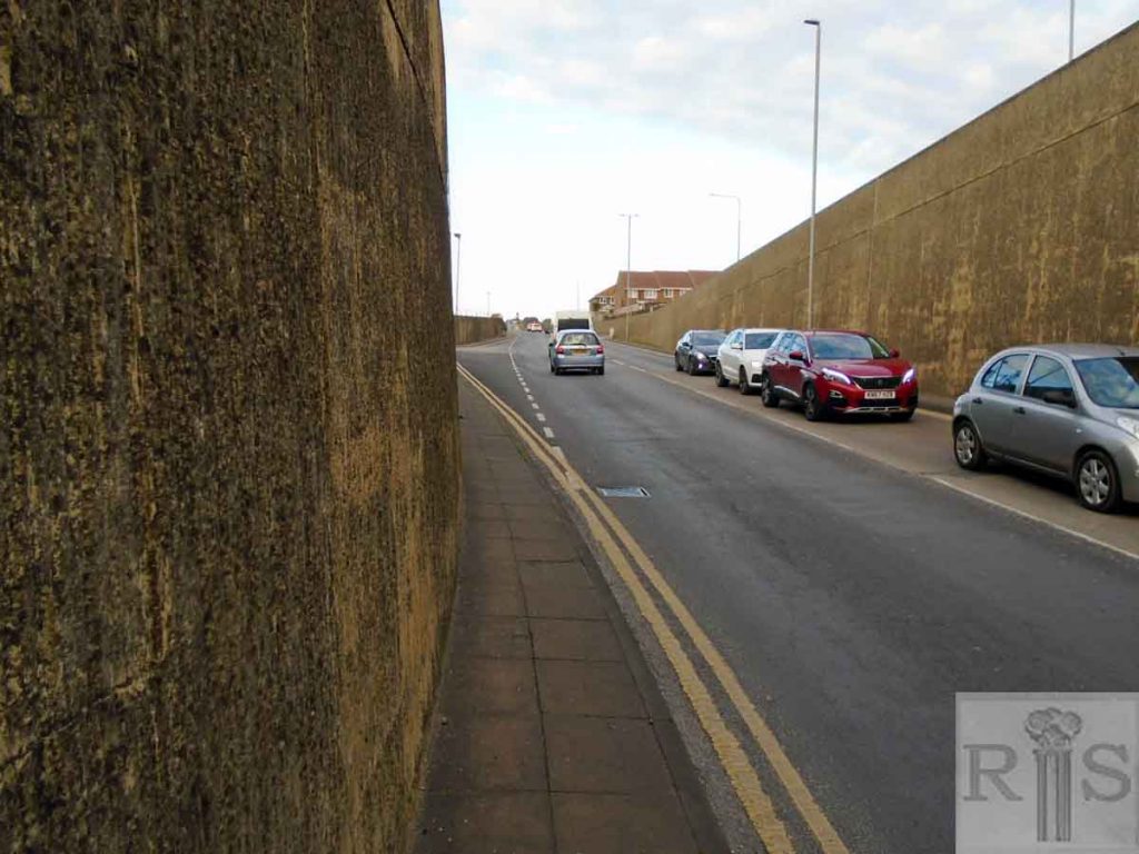
2020: Gray’s 1925 photograph is an evocative reminder of a vanished street with a fascinating name. Rifle Butt Road was a little community of shops and residential buildings on the eastern edge of Brighton until it was all demolished in the 1970s to make way for the Brighton Marina access roads. Its name takes us further back into Brighton’s history when the local militia had their rifle practice ‘butts’ in Sheepcote Valley, then safely out of town. Gray tells us that the junction with Wilson Avenue is just visible in the background as it is in the modern photograph. The access road into Brighton Marina was constructed below the site of Rifle Butt Road in the 1970s and is now a busy concrete-lined traffic artery. (Photographer: David Jackson)

More
1973
1973
1968
1967

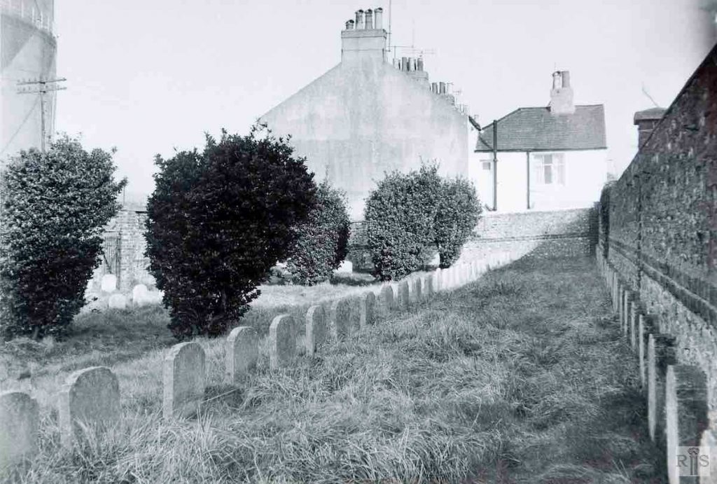
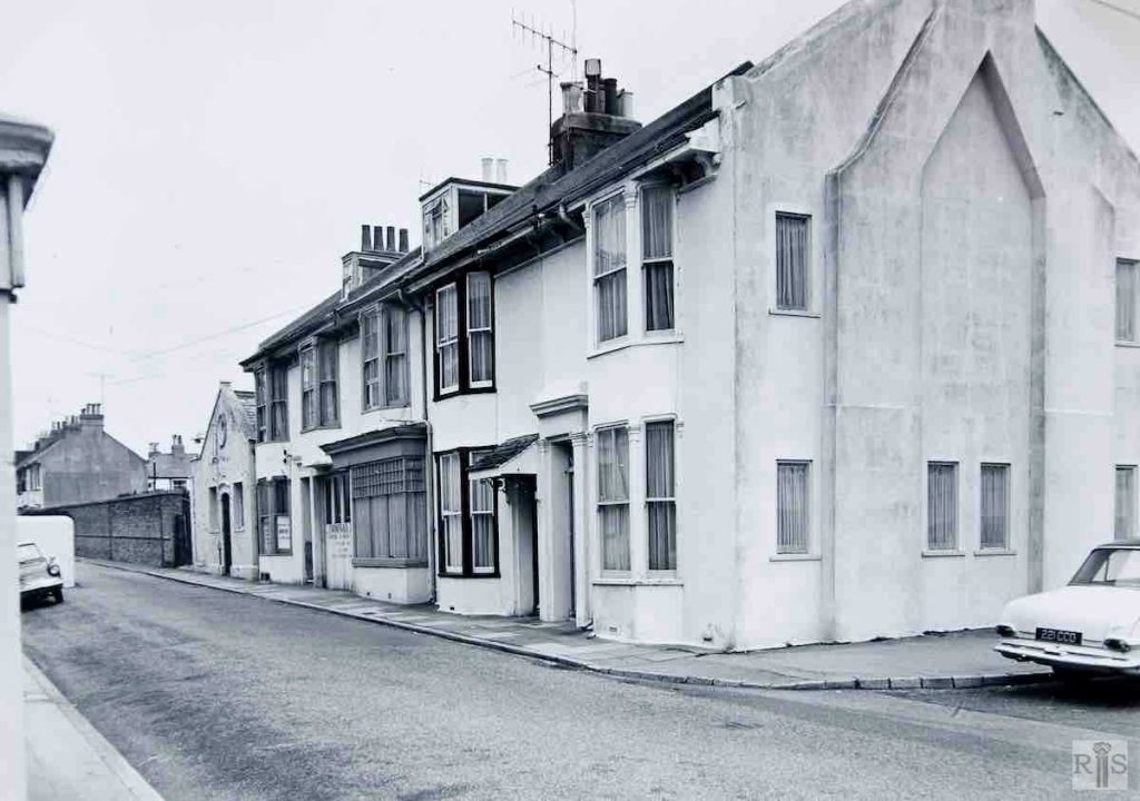
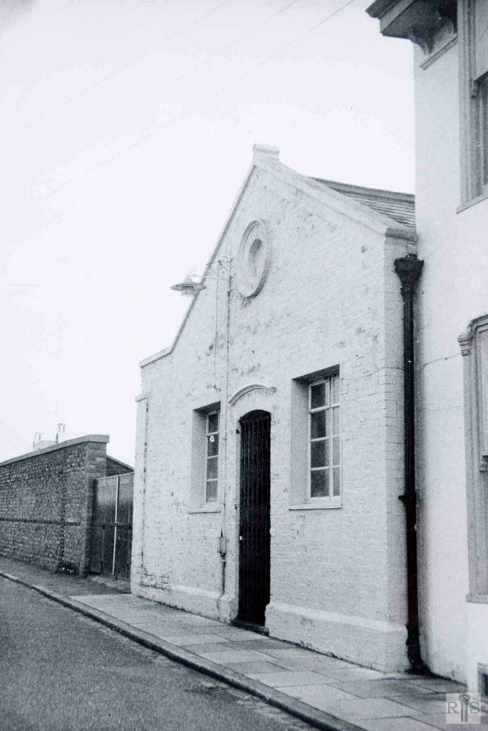
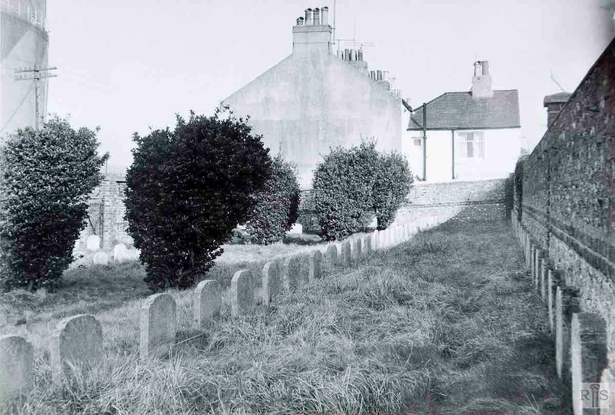
James Gray: The Friends Burial Ground was acquired in 1855 and the first burial was in that year. The Meeting House was erected in 1859 for £120 and enlarged in 1881, for £125. It was sold about 1960. As this road is being swept away for the approach roads to the vast Marina complex all the coffins from the burial ground were exhumed and re-interred in the new cemetery at Woodingdean. All buildings seen here have been removed. Another view of the Friends Meeting House, taken 8 July 1973. jgc_23_196

James Gray: [See text for jgc_23_196 above.] This view shows the burial ground. jgc_23_197

James Gray: The few remaining houses on the east side [of Rifle Butt Road] showing the Friends Meeting House (erected 1856), and beyond, the Burial Ground. jgc_23_193

James Gray: [See text for jgc_23_196 above.] All buildings seen here [in 1967] have been removed. jgc_23_195

Historic and Contemporary Images of Brighton and Hove
This website has been prepared by the Regency Society of Brighton and Hove. All historic maps are provided with kind permission of the National Library of Scotland (https://www.nls.uk/) regencysociety.org

Search