Historic and Contemporary Images of Brighton and Hove
Based on the Regency Society James Gray Collection
  • Home page
    • James Gray
    • Project volunteers
    • Acknowledgements and copyright
    • Contact us
  • Master map
  • Street Index
  • Find a place
    • Neighbourhoods
    • Images of the seafront
    • Parks and Open Spaces
    • Redeveloped areas
    • Royal Pavilion Estate
    • Brighton Station
    • Street Index
LADIES MILE ESTATE, PATCHAM

Mackie Avenue

Neighbourhood:
Patcham
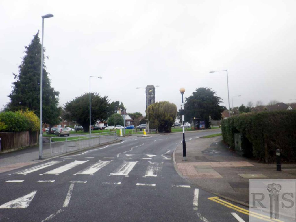
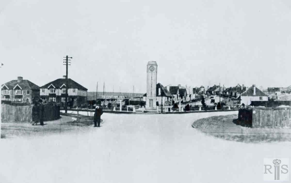
c1934
2018

James Gray: This photograph was taken when roads and pavements were made up. jgc_35_020

2018: There has been little change between the taking of these two photographs.

The clock tower was built in the 1930s and remains in the same condition today and is well looked after. It appears that the houses round the clock tower have changed little  but the trees have grown and therefore hide some of the houses. (Photographer: Clare Hughes)
More
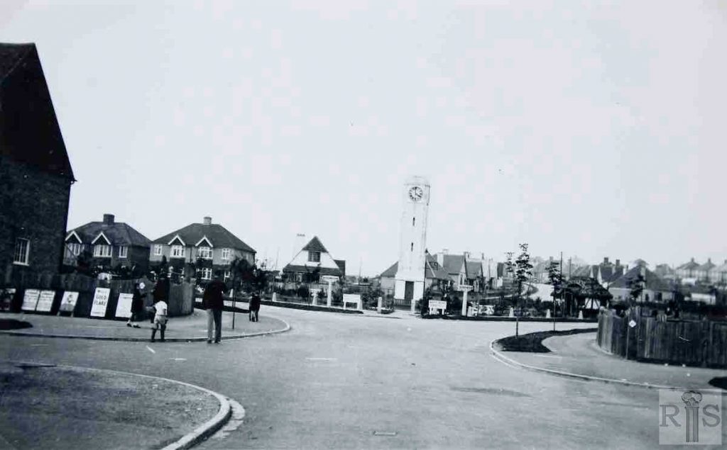
1933
2019

James Gray: A closer view of the Clock Tower and Barrhill Avenue. jgc_35_024

2019: See jgc_35_020 above for caption. (Photographer: Chris Nichols)

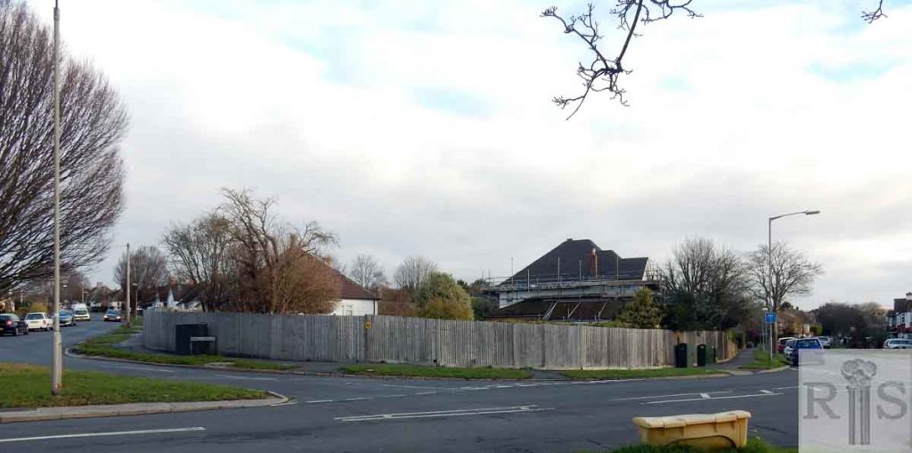
1932-33
2018

James Gray: This estate was laid out and developed by Messrs G S Ferguson & Co., starting in late 1931. Mr Ferguson was a Scot, which is why so many of the avenues have Scottish names. The two photographs above, probably taken in 1932 or 1933 from the Clock Tower show the junction of Barrhill Avenue on the left and Mackie Avenue. In the distance are Craignair Avenue and beyond, Solway Avenue. On the horizon can be seen the woods of Stanmer Park. jgc_35_019
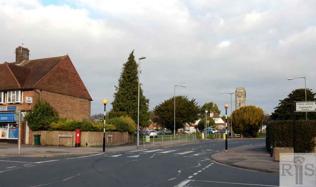
2018: It was difficult to get the correct angle for this photograph. The layout of the roads is still the same and all the houses are still present. There is work being done to enhance or extend some houses. The road layout and the pavements are evident in both pictures – but the roads were far emptier in the 1933 image. (Photographer: Clare Hughes)

1932-33
2018

James Gray: This estate was laid out and developed by Messrs G S Ferguson & Co., starting in late 1931. Mr Ferguson was a Scot, which is why so many of the avenues have Scottish names. The two photographs above, probably taken in 1932 or 1933 from the Clock Tower show the junction of Barrhill Avenue on the left and Mackie Avenue. In the distance are Craignair Avenue and beyond, Solway Avenue. On the horizon can be seen the woods of Stanmer Park. jgc_35_019
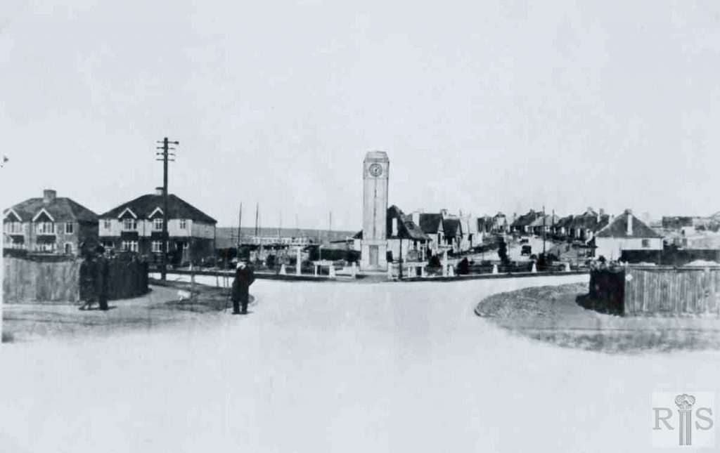
2018: It was difficult to get the correct angle for this photograph. The layout of the roads is still the same and all the houses are still present. There is work being done to enhance or extend some houses. The road layout and the pavements are evident in both pictures – but the roads were far emptier in the 1933 image. (Photographer: Clare Hughes)

More
Historic and Contemporary Images of Brighton and Hove
This website has been prepared by the Regency Society of Brighton and Hove. All historic maps are provided with kind permission of the National Library of Scotland (https://www.nls.uk/) regencysociety.org

Search