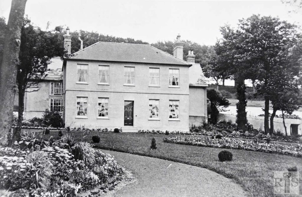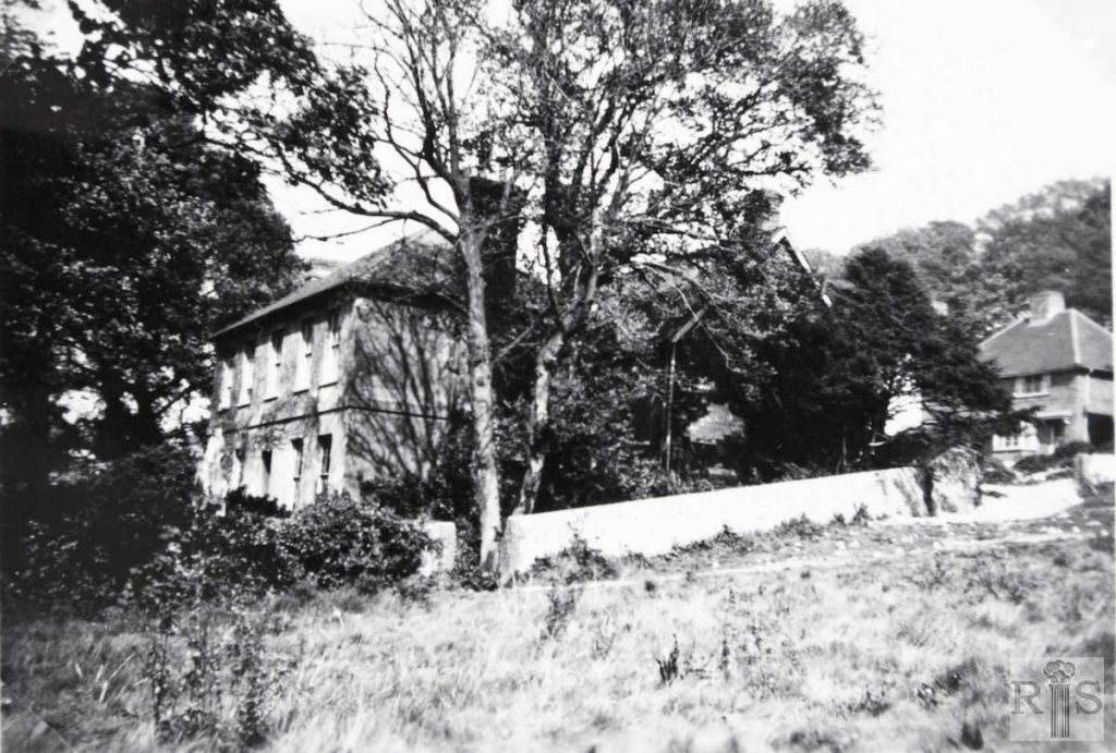
James Gray: Hodshrove farmhouse from the west. The front of the building was early 19th century but at the rear was a much earlier portion. Period unknown but during the occupancy of the last tenant before the farm was given up. Some of the tall trees in the background are still there. jgc _28_190
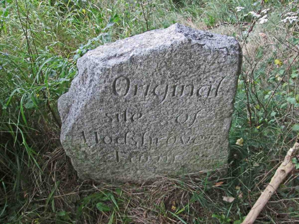
2016: This page shows the development of the land belonging to Hodshrove Farm. The road that is today Hodshrove Lane was originally a lane leading up to and through the cluster of farm buildings. The area is now covered by Moulsecoomb Primary School to the south of Hodshrove Lane and the East Moulsecoomb Leisure Centre to the north. All that is left of Hodshrove Farm is this engraved stone at the junction of Broadfields Road and Hodshrove Lane. (Image by kind permission of the Bevendean History Group)
Hodshrove Farm
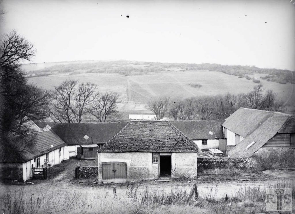
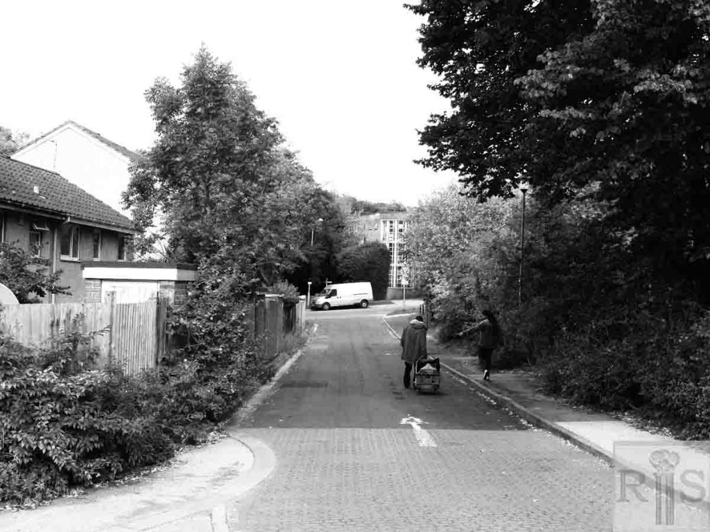
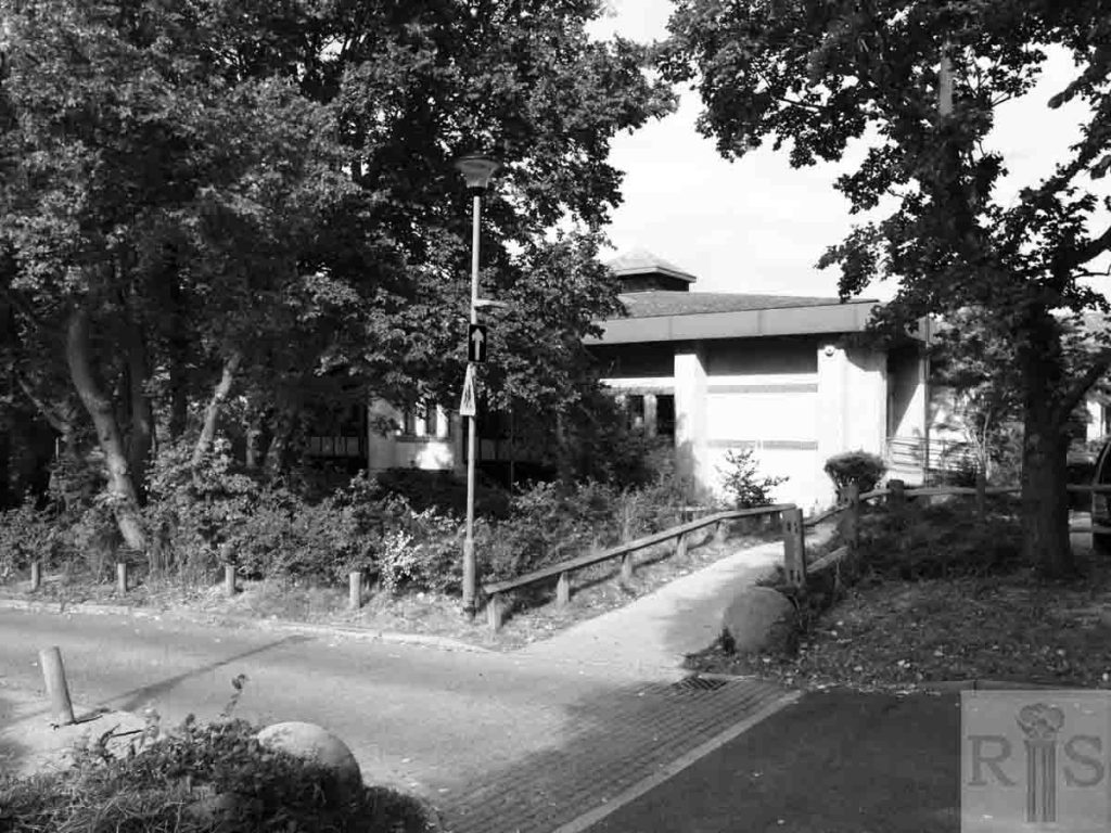
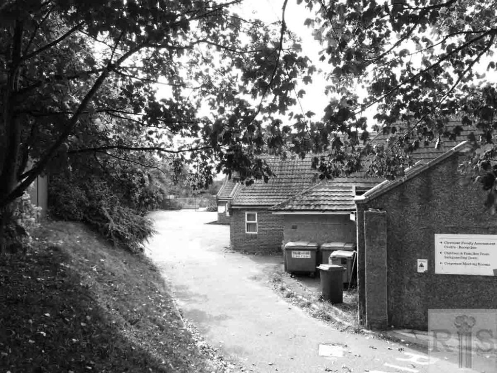
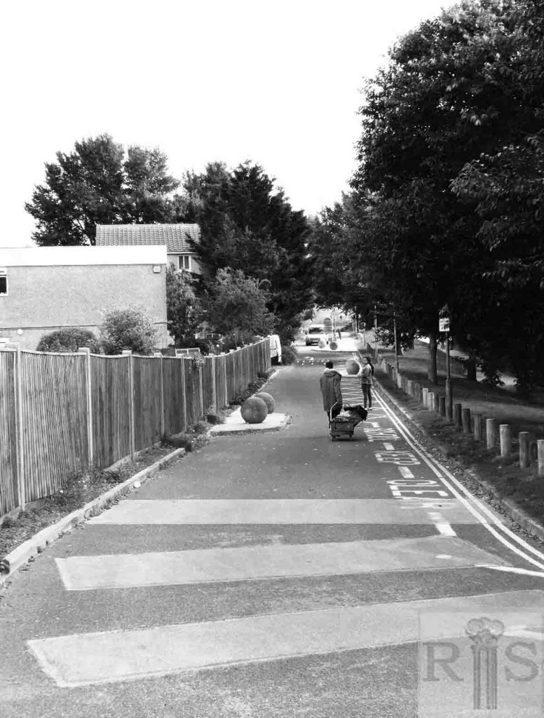
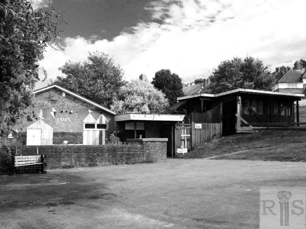
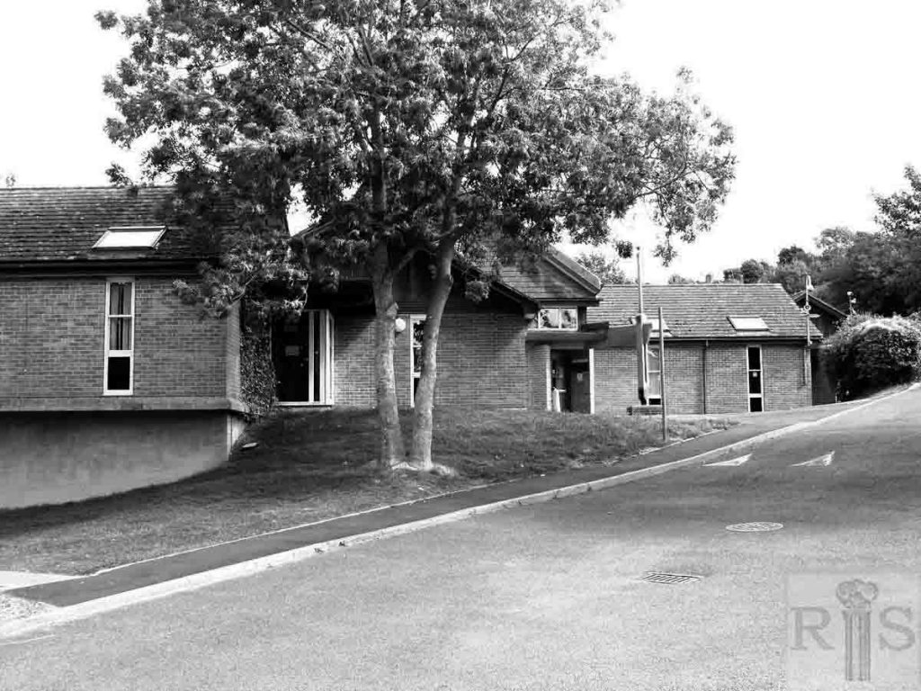
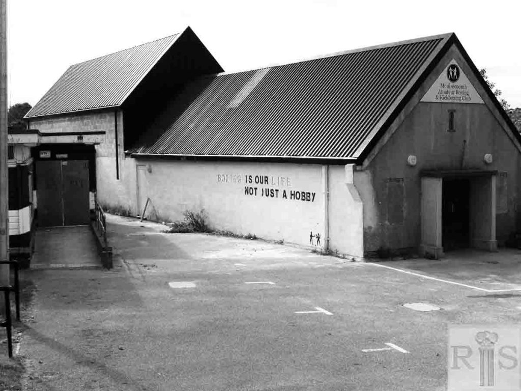
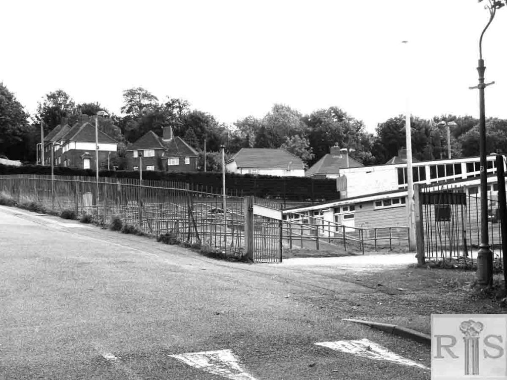
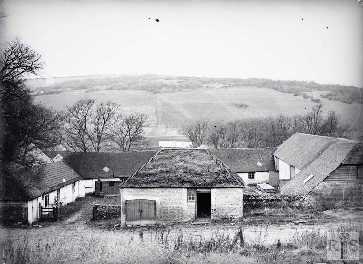
There are several images of Hodshrove Farm in the James Gray Collection, almost all taken in 1936. The precise location of each is difficult to locate. James Gray Collection images are therefore placed first on this page in a group followed by 2018 images of the same area in a separate group to provide an overall impression of the current (2018) appearance of the area where the farm once stood.
James Gray Collection Images: left hand column: (top to bottom)
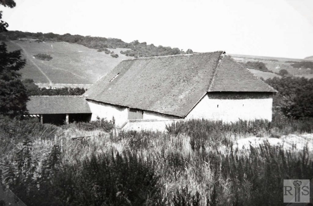
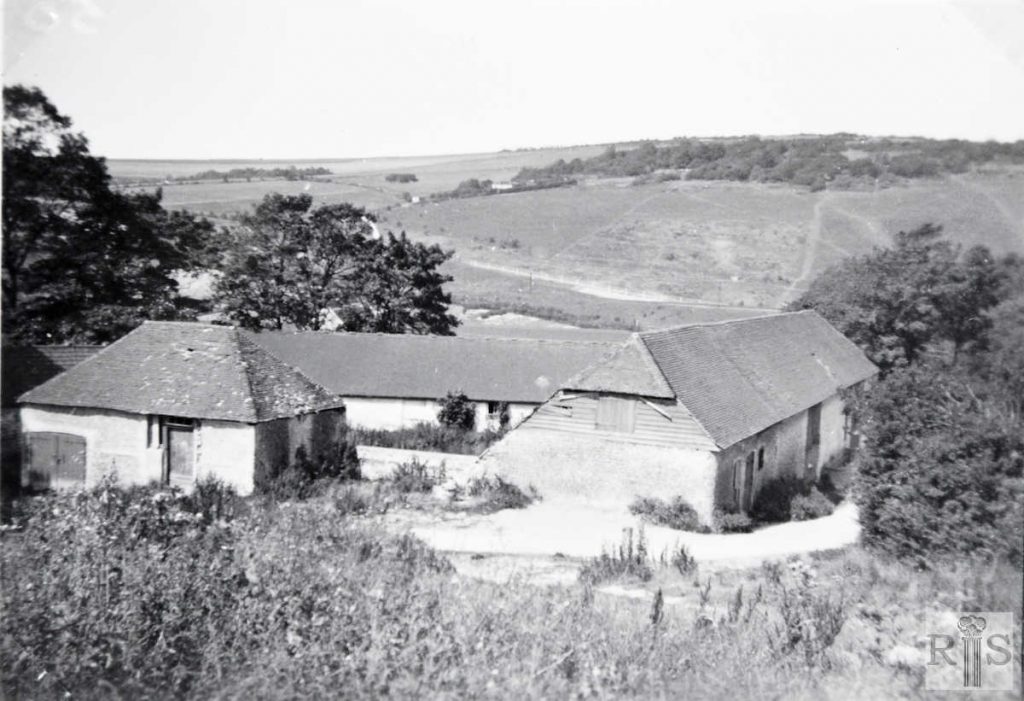
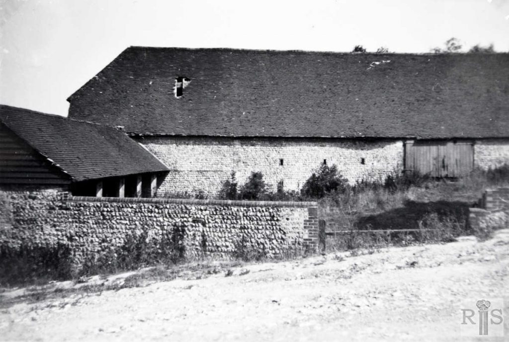
Photographs of the farm buildings, barns and sties from the lane behind the farm near the present Hodshrove Road. Hodsrove Farm, or Hotsrove, as it was known at the end of the 18th century, was owned by the Pelham family. It then formed part of the Stanmer Estate. It was sold by the Earl of Chichester to Brighton Corporation in 1937 and laid out for houses. Some of the old buildings are still standing (1953) near Hodshrove Road. jgc _28_191
Main buildings. jgc_28_193.
jgc_28_194.
Long barn and sties, Hodsrove Farm. jgc_28_196
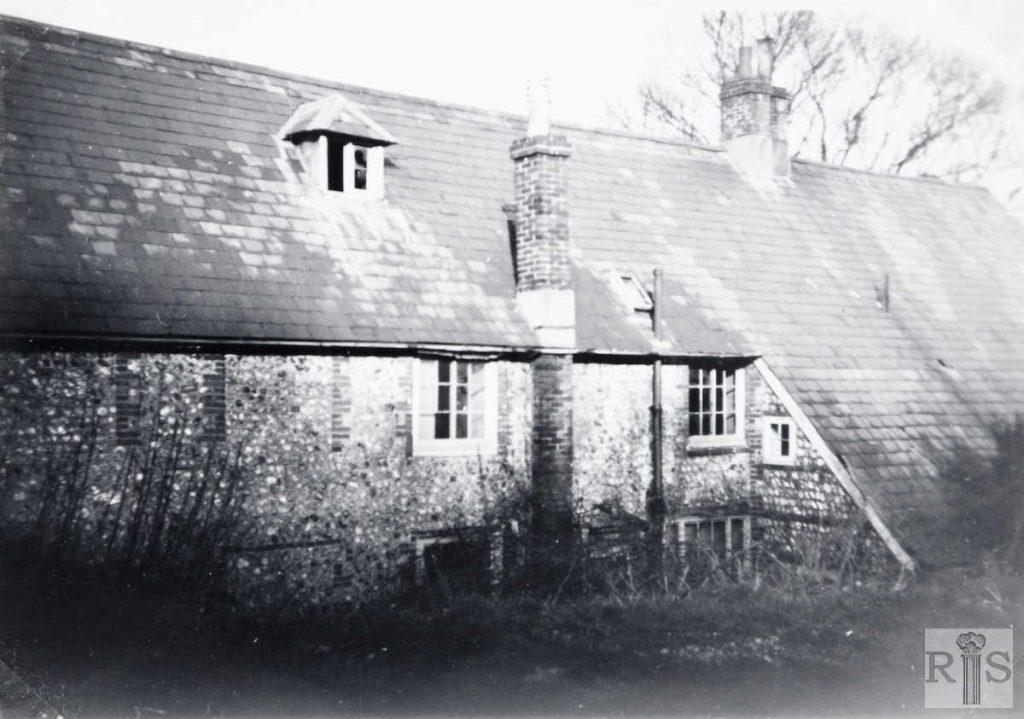
The 17th century back of the house which faced east. jgc_28_197.
A snapshot of some of the buildings of this now forgotten farm, taken in the late 1930s. I do not know the exact location. jgc_28_147
James Gray Collection images: right hand column: (top to bottom)
Photographs of the farm buildings, barns and sties from the lane behind the farm near the present Hodshrove Road. jgc _28_192
jgc_28_194.
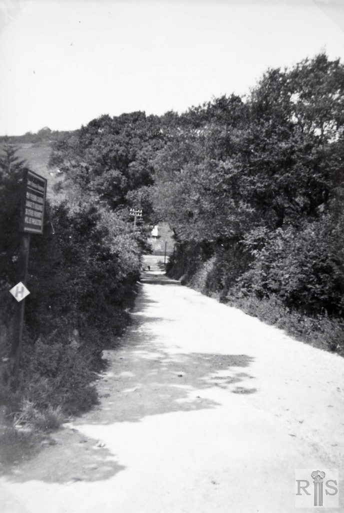
The lane leading from the Lewes Road to the farm buildings, which is very much the same today. jgc_28_195.
The main farm buildings, grouped together. These are seen in two of the smaller photographs on other pages. The view is north-west across the railway line. Date of photograph – 5 December 1936. jgc_28_198.
2018 images: (Photographer Ron Fitton)
left hand column: (top to bottom)
no comment
The rear of Moulsecoomb Hub North, part of Brighton and Hove’s social services on the south side of Hodshrove Lane. (Photographer: Ron Fitton)
no comment
Moulsecoomb Boxing Club on the south side of Hodshrove Lane. The west wall (not in shot) of the club is a very old flint and brick wall. It most likely formed part of the agricultural buildings of Hodshrove Farm. (Photographer: Ron Fitton)
2018 images: (Photographer Ron Fitton)
right hand column: (top to bottom)
no comment
no comment
All that remains of the farm now is a small commemorative plaque near the grounds of the primary school (jgc_28_190) and the rest of it has been subsumed by the development of the Moulsecoomb Estate.
no comment
