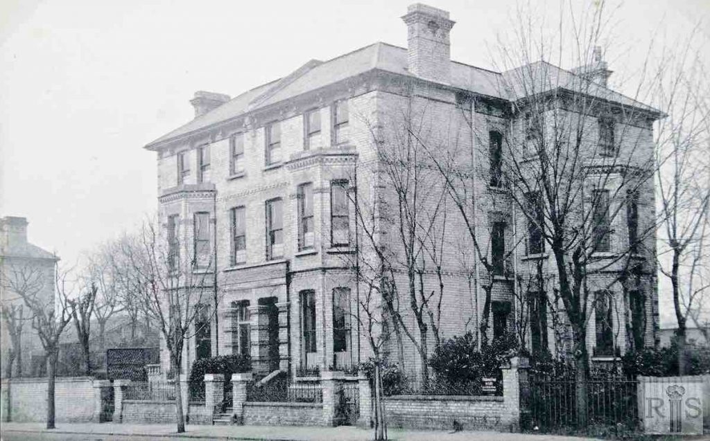
James Gray: Hereford House, Eaton Road about 1910/11. Built in the 1880’s as separate dwellings it soon became a school. At the time of the photograph, St Catherines School. Now converted to flats jgc_11_057
2018: Hereford House, which stands at 9 Eaton Road, is still a block of flats and another, more modern purpose-built block called Ashdown can be seen immediately behind it. Hereford House has lost its chimneys, the slate roof has been replaced by heavier tiles and the original timber sash windows on the front of the building have all been replaced with uPVC frames. (Photographer: Helen Glass)
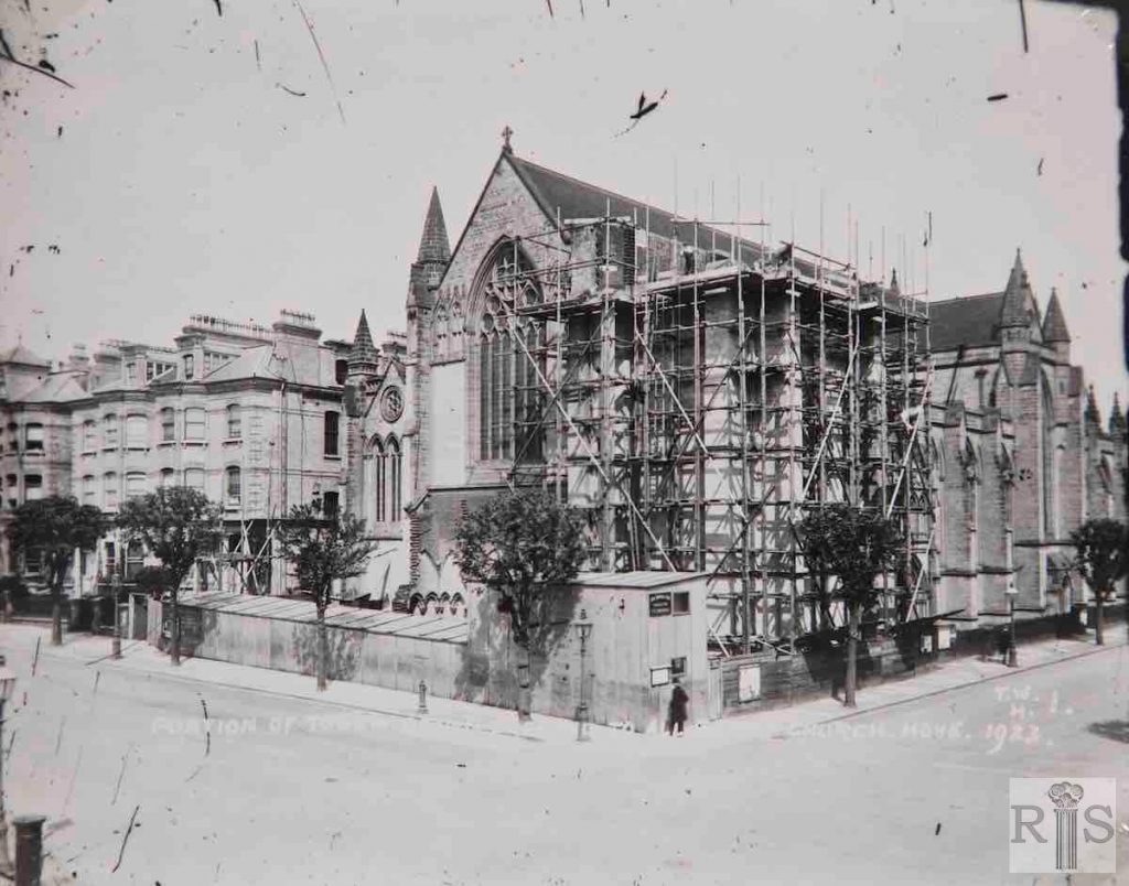
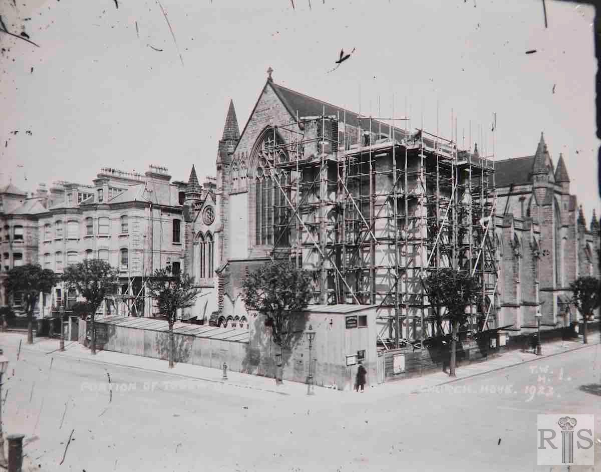
James Gray: Commenced in 1889, and consecrated in part on 1 May 1891. This is a photograph of the construction of the tower to the height of the nave, during 1923. This work was finished in 1924, but it has never been taken any further. jgc_13_079
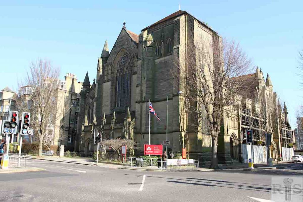
2018: This image of All Saints Church, by J L Pearson, on the corner of Eaton Road and The Drive, shows the tower was completed so far as it ever was and the front porch added. The small tree on the corner has been removed.
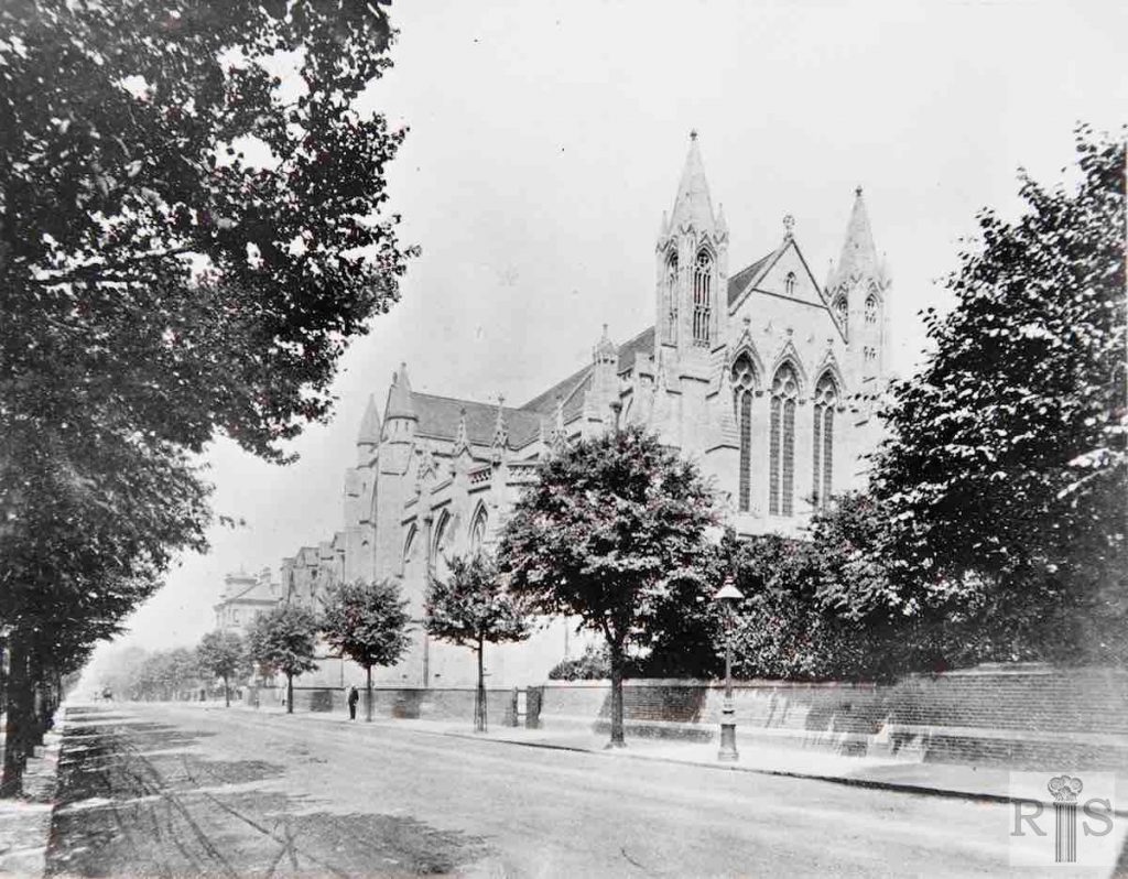
James Gray: Here is a view of All Saints Church in Eaton Road, in 1908. This was begun in 1889 and consecrated in 1891. Note the profusion of the trees, many of which have since been removed. jgc_13_092
2018: The image on the far left, taken 15 years before jgc_13_079, shows All Saints Church from the south-east in Eaton Road, on the corner of The Drive. Very little has changed – although, as evidenced by the scaffolding shown in the modern picture, repairs are now in progress on the south side of the nave.
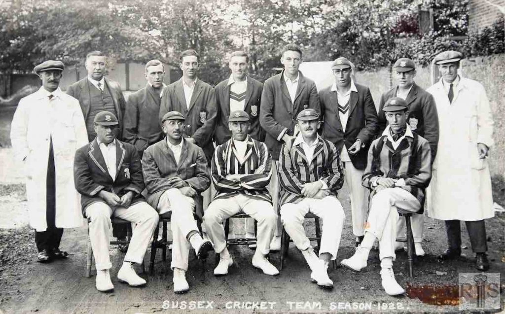
James Gray: Grouped in front of the east wall is the Sussex County Cricket team of 1922. Names of the eleven players seen are Standing: T Cook, H E Roberts, E Bowley, M W Tate, G Stannard, G Street. Seated: J Vine, R A Young, A E R Gilligan (Captain), G Cox, A H H Gilligan. jgc_11_125
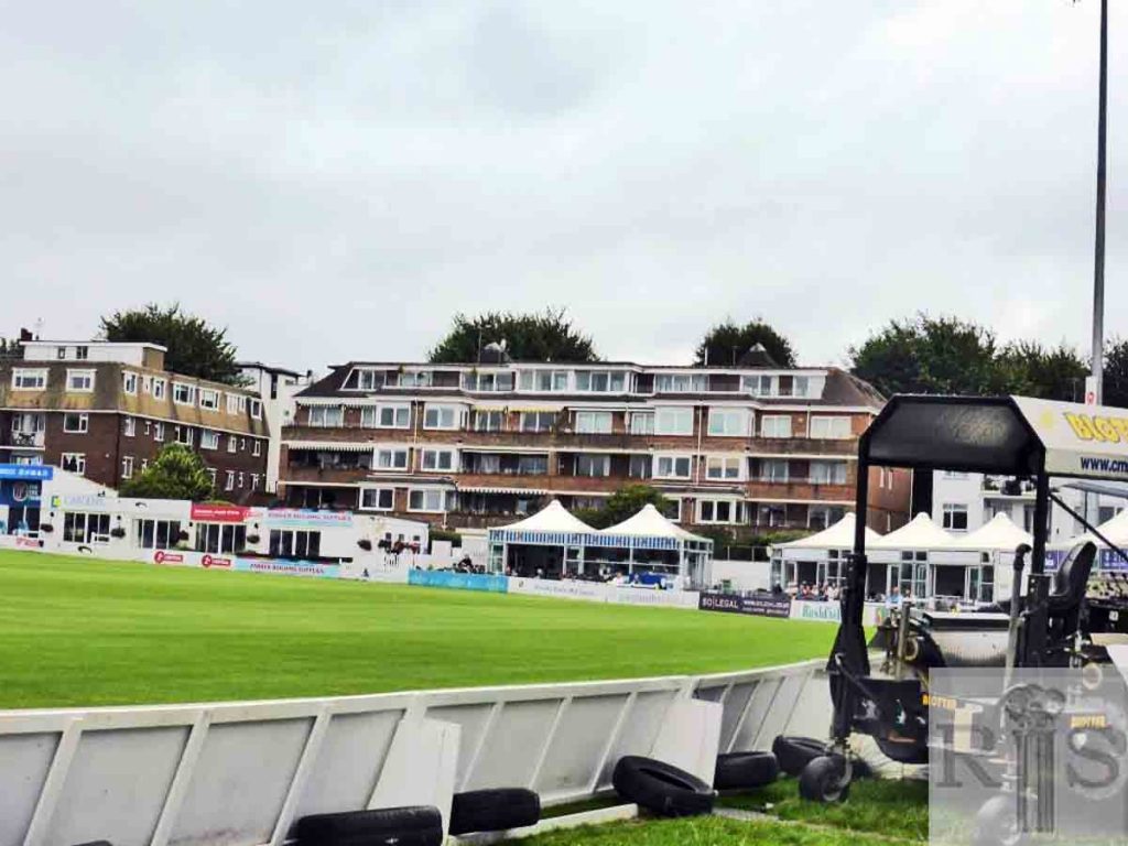
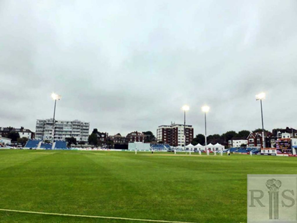
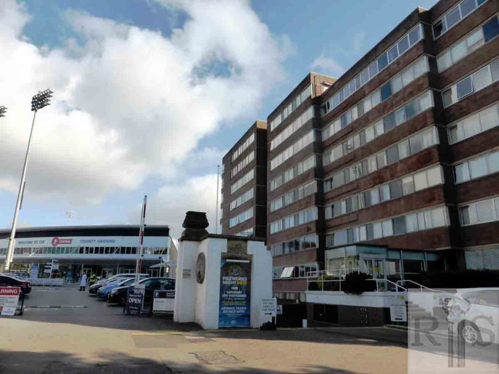
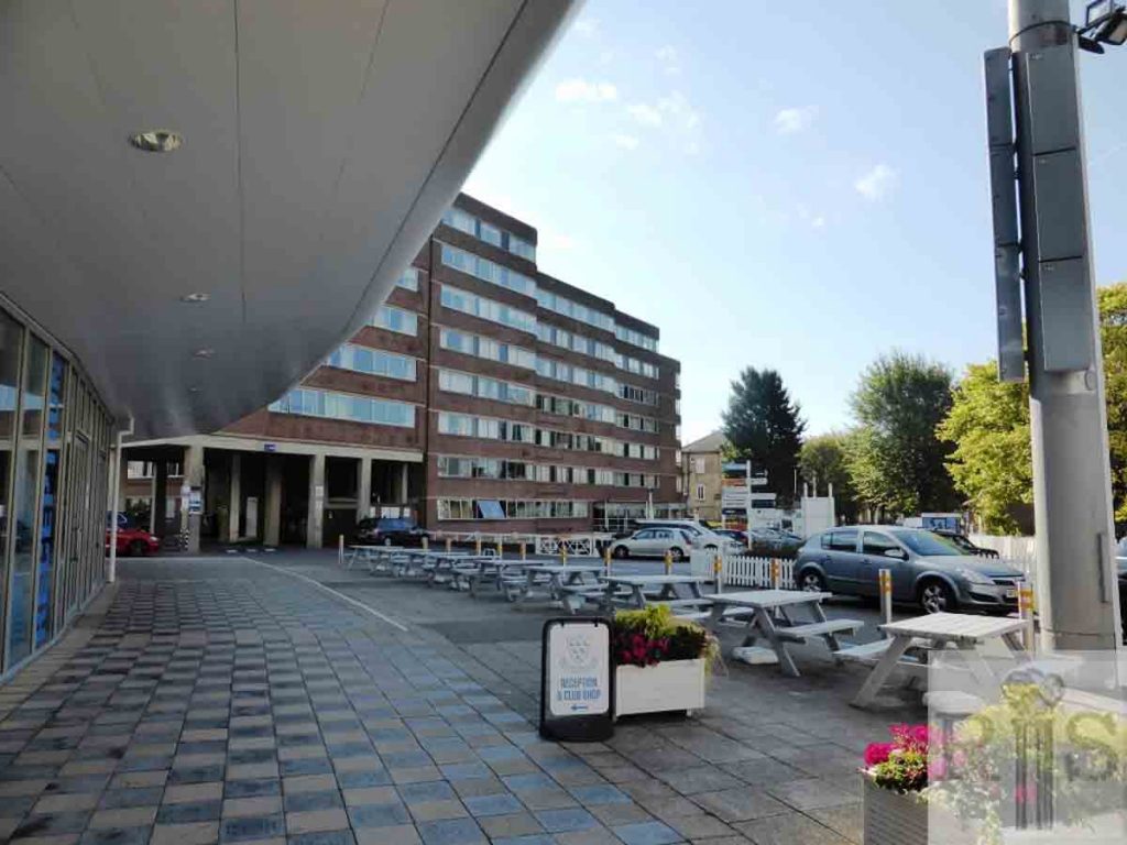
2018: Sussex View, the modern flats at 51-55 Palmeira Avenue, and Willow Court, No 57 Palmeira Avenue, are visible in the background of the Sussex County Cricket Ground. (Photographer: Alison Minns)
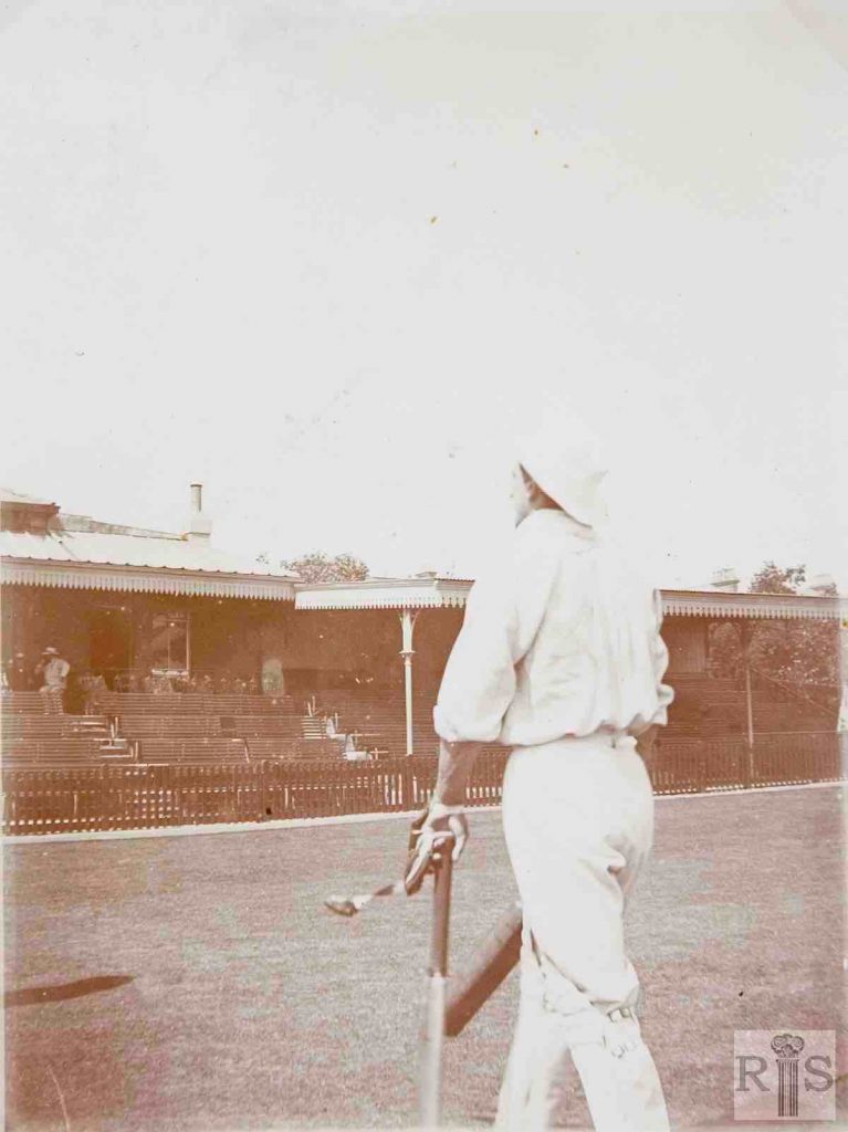
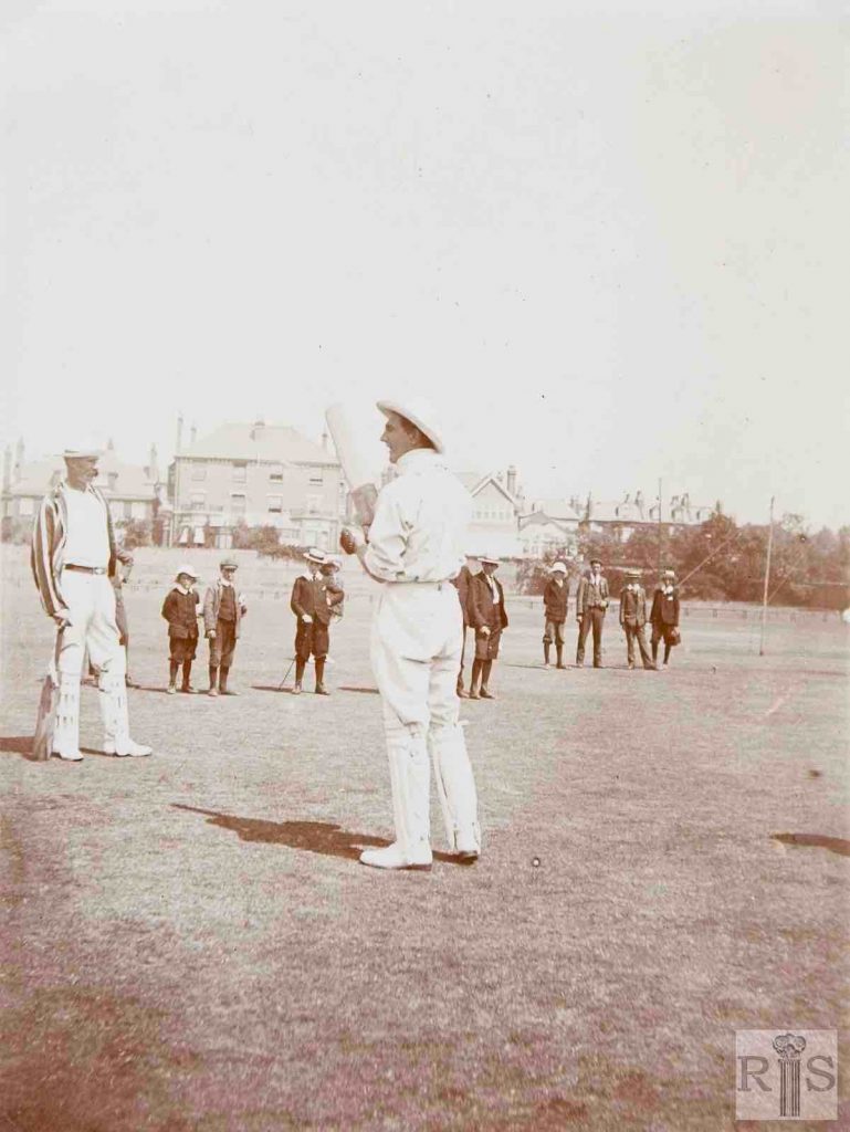
James Gray: Two photographs of that great Sussex cricketer, C B Fry, period unknown but obviously during the early years of this century. Cromwell Road to the north bears a very different appearance at the present day. jgc_11_126
2018: The cricketer is the remarkable Charles Burgess Fry. Born: 25.4.1872 Died: 7.9.1956. He was an outstanding sporting all-rounder who played both cricket and football for England and in 1892 held the British long jump record. He captained the England Cricket Team for six test matches in 1912, winning four and drawing two. (Photographer: Alison Minns)
James Gray: Two photographs of that great Sussex cricketer, C B Fry, period unknown but obviously during the early years of this century. Cromwell Road to the north bears a very different appearance at the present day. Another view with young men and boys. jgc_11_127
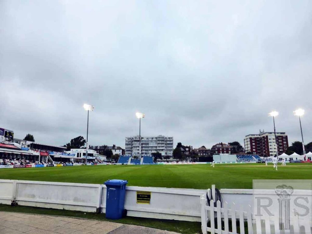
2018: Today the view to the north is of two blocks of flats, Hovedene (left) and Cromwell Court (right) which loom up from Cromwell Road. (Photographer: Alison Minns)
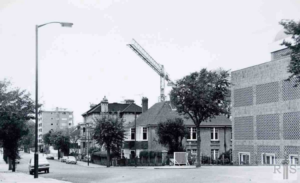
James Gray: Not far from the cricket ground was this vacant lot at the corner of Palmeira Avenue. It had been empty since the 1880s when these roads were laid out for building. Date of photograph, 24 September 1961. Four years later the ground was cleared for the erection of the Brighton and Hove Synagogue, consecrated on Sunday, 10 September 1967. jgc_11_128
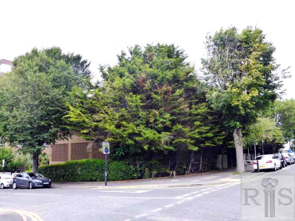
2018: The corner plot, once known as Sleepy Hollow, is now the site of the Brighton and Hove Reform Synagogue. The designer was Derek Sharp FRIBA and the foundation stone was laid on 17 July 1966 or in the Hebrew calendar, 29 Tammuz 5726.
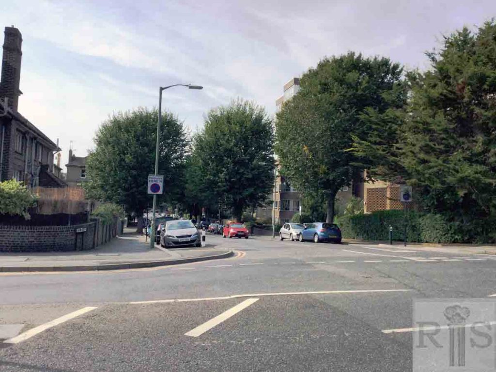
James Gray: A very good example of the staggering rise in land values during the past fifty years. Note the two semi-detached houses between the trees; these were 11 and 13, Eaton Road. They were built in 1923 on part of the extensive open land which had existed in the neighbourhood of Palmeira Avenue. What they cost, with the land is anybody’s guess, but they had large gardens, and the site became “ripe for development”. At auction, in 1972, they fetched the sum of £168,000. Photographed on 22 October 1972, they have since been demolished. jgc_11_140
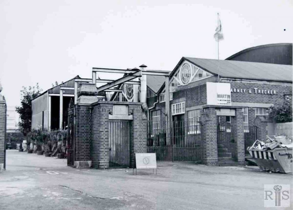
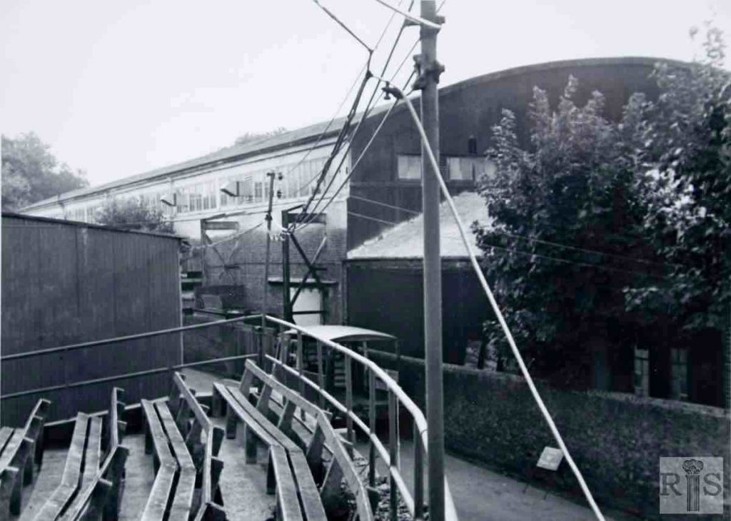
James Gray: This building with its sloping roof was just to the south of the County Cricket Ground, in Eaton Road, but was built several years after the Ground was opened in 1872. At first it was used as a Skating Rink and Tennis Courts, later for Badminton and generally for sporting purposes. After the 1939-1945 War it became a factory producing light engineering components for Kearney and Trecker. The photos were taken on 7 September 1969 and the buildings were demolished in May 1970. Flats are to be erected on the vacant site. Another view shows the public seating area. jgc_11_142
James Gray: This building with its sloping roof was just to the south of the County Cricket Ground, in Eaton Road, but was built several years after the Ground was opened in 1872. At first it was used as a Skating Rink and Tennis Courts later for Badminton and generally for sporting purposes. After the 1939-1945 War it became a factory producing light engineering components for Kearney and Trecker. The photos were taken on 7 September 1969 and the buildings were demolished in May 1970. Flats are to be erected on the vacant site. Another view showing public seating area. jgc_11_143
