Historic and Contemporary Images of Brighton and Hove
Based on the Regency Society James Gray Collection
  • Home page
    • James Gray
    • Project volunteers
    • Acknowledgements and copyright
    • Contact us
  • Master map
  • Street Index
  • Find a place
    • Neighbourhoods
    • Images of the seafront
    • Parks and Open Spaces
    • Redeveloped areas
    • Royal Pavilion Estate
    • Brighton Station
    • Street Index
EASTWICK BARN

Eastwick Close

Neighbourhood:
Patcham
1938
2019

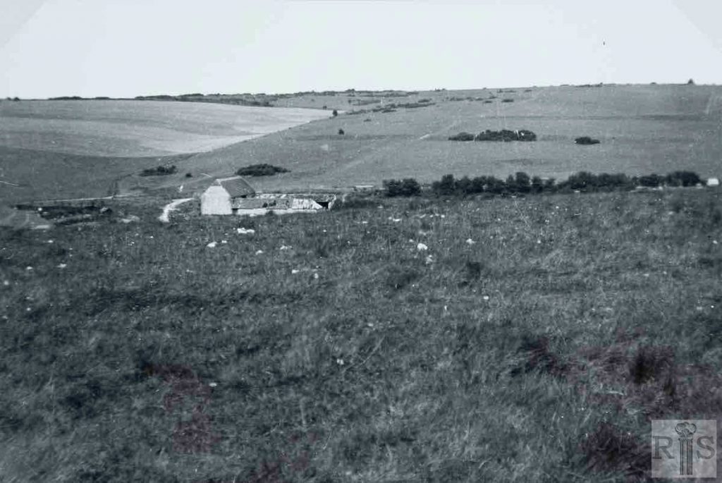
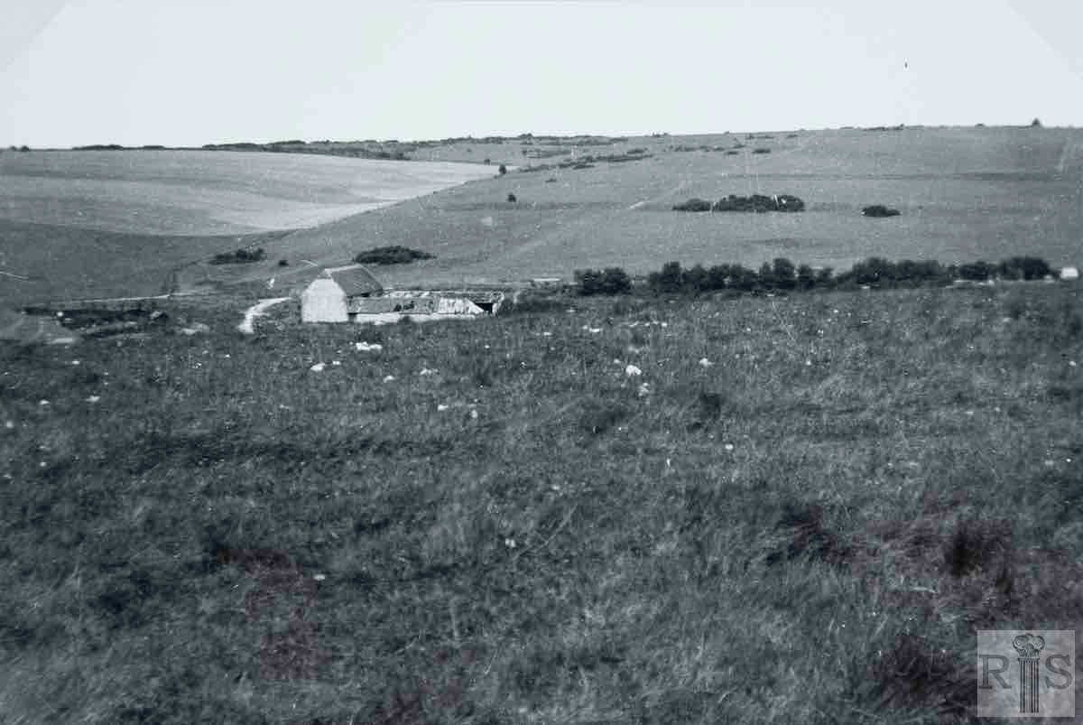
James Gray: This old nineteenth century barn, part of Place Farm, Patcham stood in semi-isolation for many years with only a nearby dew pond for company. However when the Ladies Mile estate developed, started in the early 1930s, the housing tide gradually crept nearer to, but stopped short of, the barn and other farm buildings.

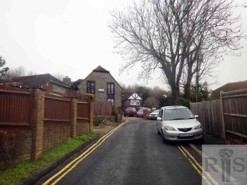
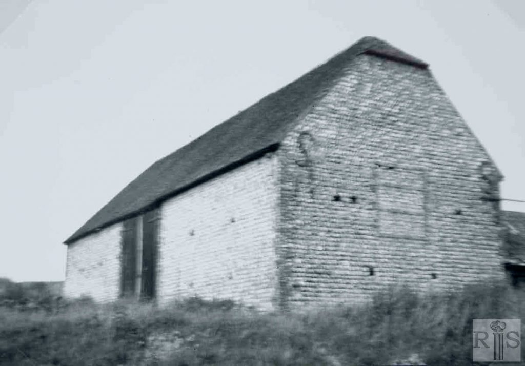
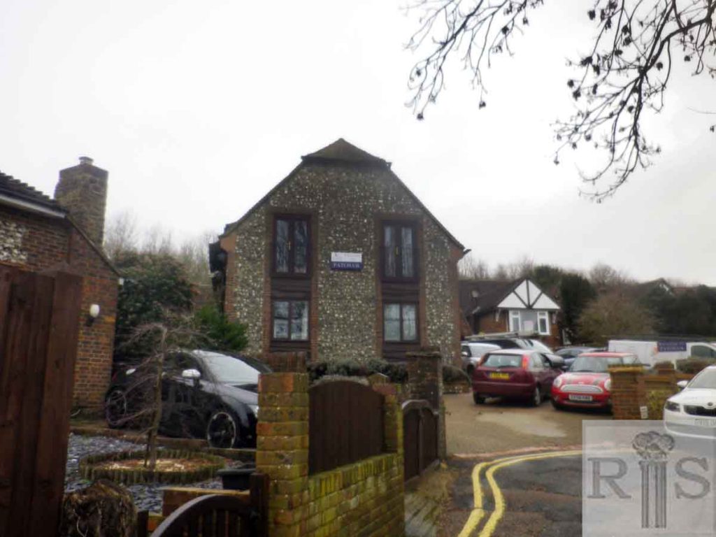
View from the south on 13 August 1936, while the very fine view of the barn in close-up was taken on 2 June. In much more recent years Eastwick Close has been built here. The old building still stands but has been converted and put to residential use. jgc_35_025

2019: The open Downs in the background are no longer visible in 2019 because of the housing and tree growth. Tree growth on the Downs is noticeable as the Downs are now not used for sheep grazing. (Photographer: Chris Nichols)

More
1938
2019
2019

James Gray: A closer view (than jgc_35_025). jgc_ 35_026

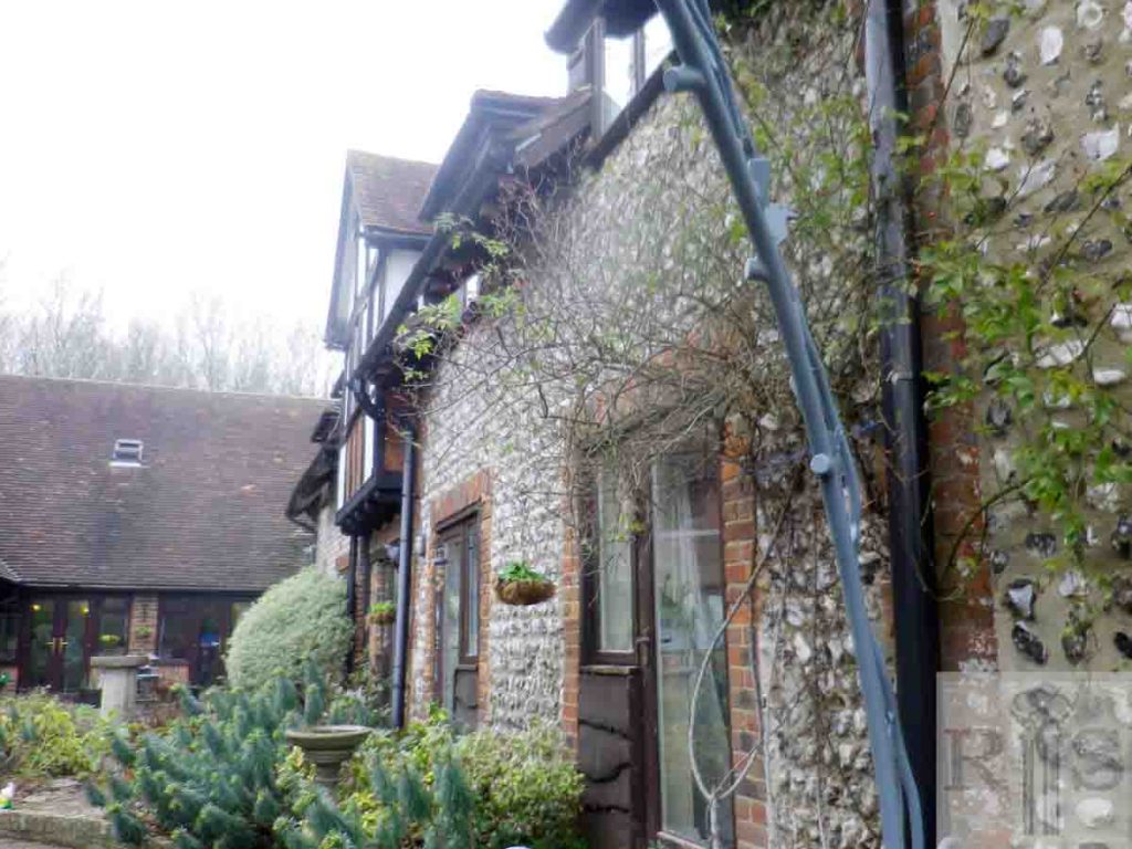
2019: Eastwick Barn has now been converted to a Care Home, and is called Wren Retirement Living. (Photographer: Chris Nichols)

Historic and Contemporary Images of Brighton and Hove
This website has been prepared by the Regency Society of Brighton and Hove. All historic maps are provided with kind permission of the National Library of Scotland (https://www.nls.uk/) regencysociety.org

Search