Historic and Contemporary Images of Brighton and Hove
Based on the Regency Society James Gray Collection
  • Home page
    • James Gray
    • Project volunteers
    • Acknowledgements and copyright
    • Contact us
  • Master map
  • Street Index
  • Find a place
    • Neighbourhoods
    • Images of the seafront
    • Parks and Open Spaces
    • Redeveloped areas
    • Royal Pavilion Estate
    • Brighton Station
    • Street Index
BLACK ROCK

Arundel Street

Neighbourhood:
Eastern Brighton
1957
1933
2019

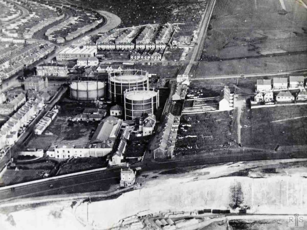
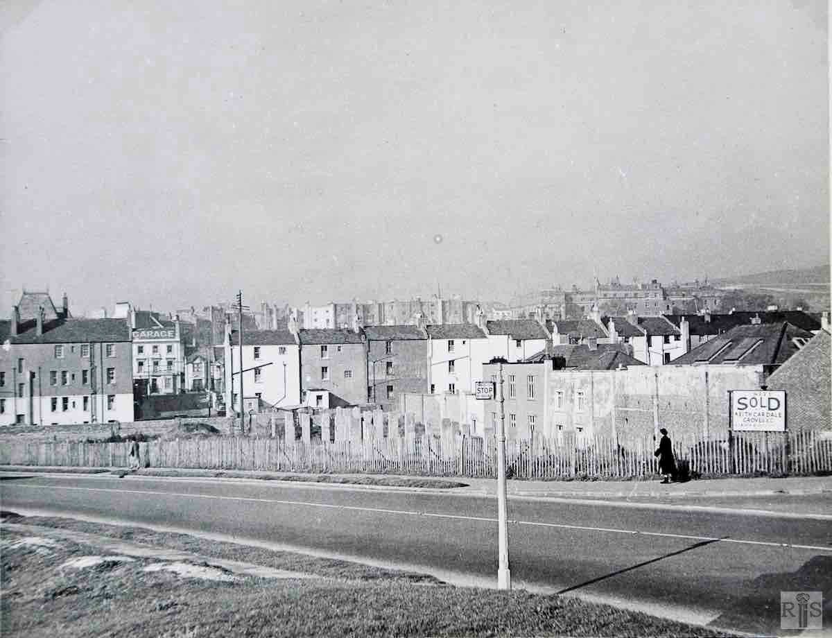
James Gray: In this photograph, the building with six windows, was at one time a private house, known as the The Old House, occupied by a Gas Company official, while the adjoining house was known as The Wing. They can be seen as private houses in the aerial photograph on the next page [jgc_23_191].  jgc_23_190

This photograph must have been taken soon after the construction of Marine Drive. To me the particular interest is that it affords a glimpse of Black Rock Cottages, just behind the Abergavenny Arms and facing the houses of Riflebutt Road. The road running to the left of the gasometers is Boundary Road, until 1928 the eastern boundary of Brighton Borough. The gas works were established here in 1823 just outside the Brighton boundary so as to avoid the duty which was then levied on all coal entering the town. Below the cliff can be seen the works of the contractors engaged on the construction of the Undercliff Walk. Many of the massive blocks of the sea wall were made here.  jgc_23_191
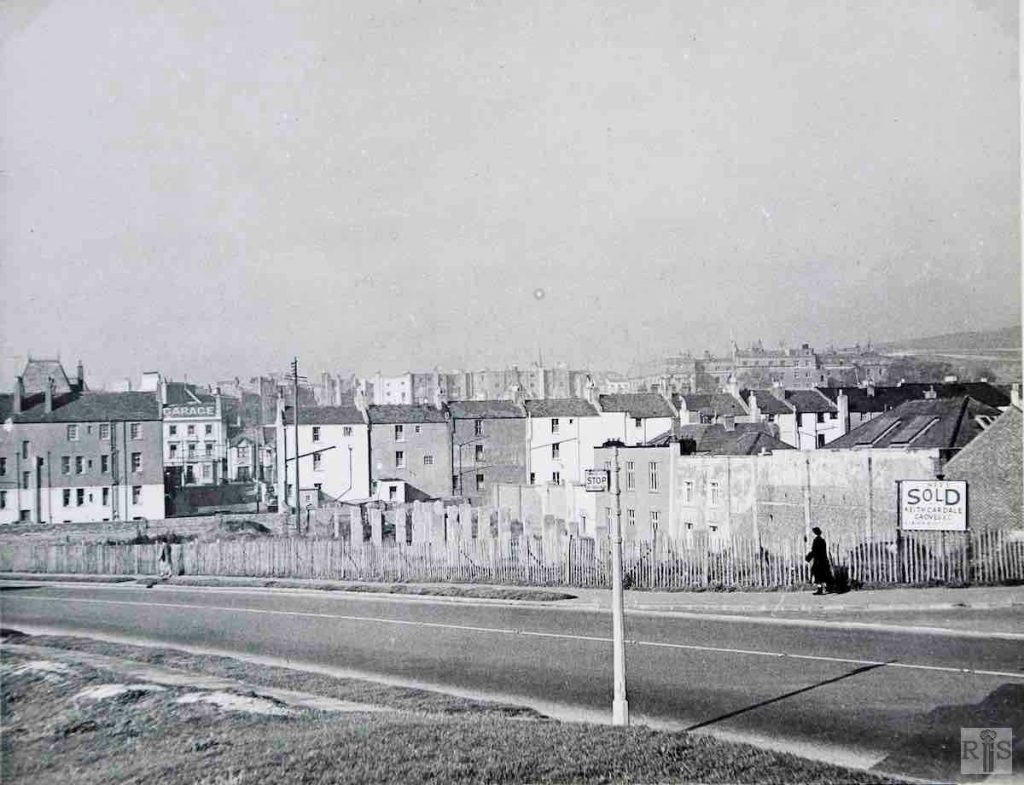
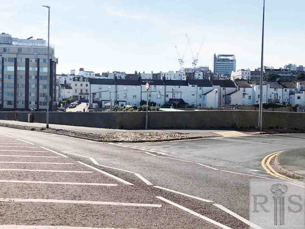
2019: Marine Drive has been widened. The terraced houses to the left of the photograph have been replaced by a block of 20 flats named Courcels, situated at the junction of Arundel Street and Marine Drive. Courcels hides the roof of the French Convalescent Home which can just be seen above the roofs of Arundel Street in the earlier photo. The Old House referred to by James Gray seems to be the one on the right (behind the bus stop sign) in the 1957 photograph. The large building with six windows in the gap on the left and marked ‘garage’ is, in 2019, the entrance to Bush Mews in Arundel Road, next to the former Bush Inn, now The Daddy Long Legs pub. (Photographer: Mary Allison) 

More
Historic and Contemporary Images of Brighton and Hove
This website has been prepared by the Regency Society of Brighton and Hove. All historic maps are provided with kind permission of the National Library of Scotland (https://www.nls.uk/) regencysociety.org

Search