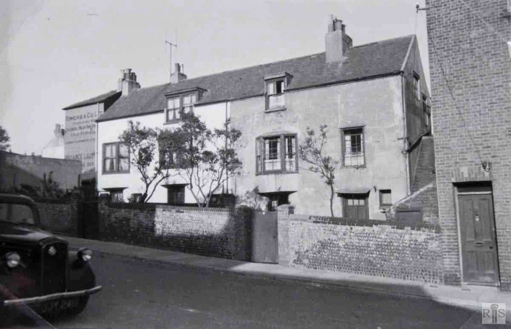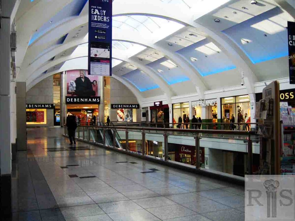
historic street on the site of Churchill Square
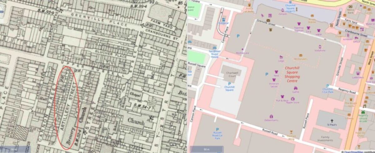
Comparison map: Historic streets alongside 2019 layout of Churchill Square
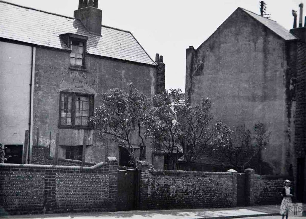
James Gray: [Top left] No comment. jgc_29_121
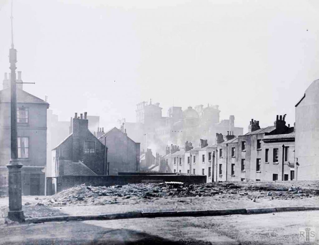
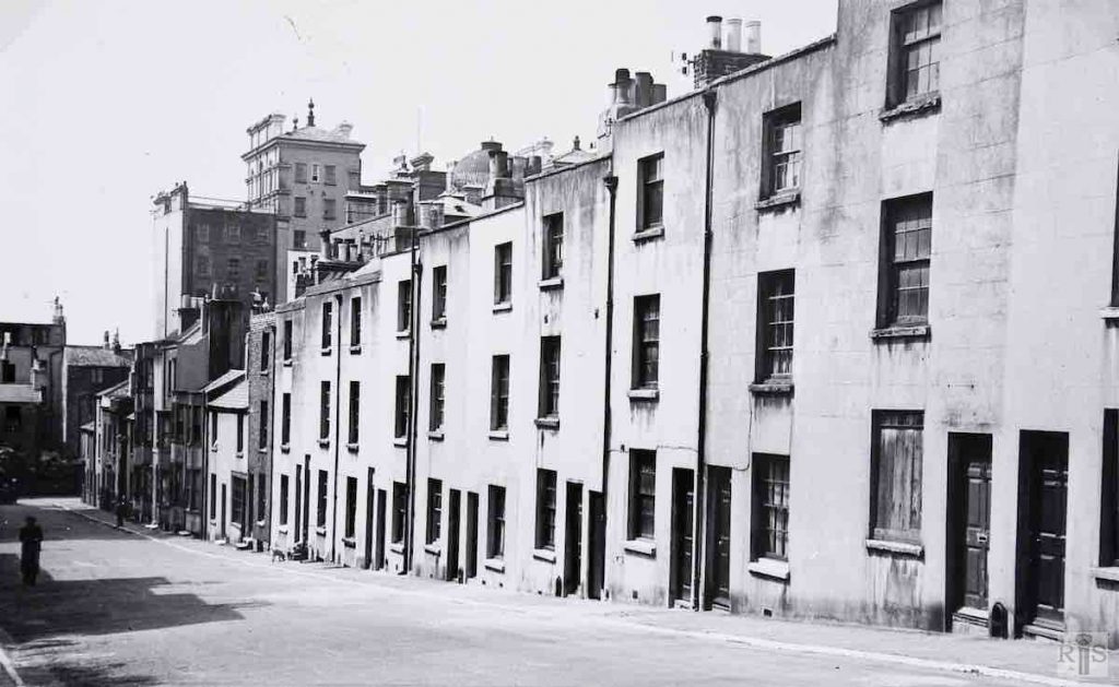
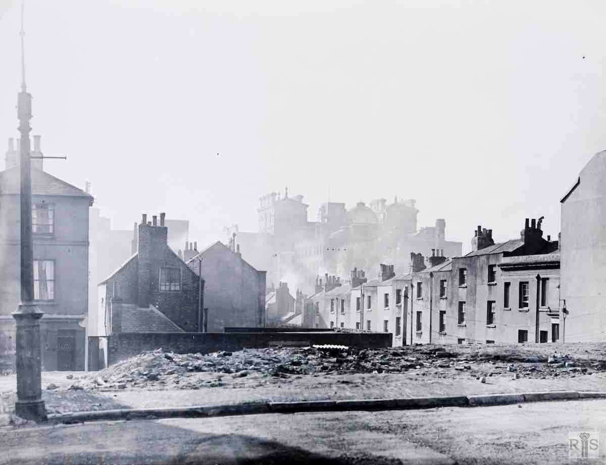
James Gray: [Middle left] A photograph of about 1955. Taken from the cleared site of Blucher Place, it looks across Upper Russell Street to the west side of old Artillery Street, with the Grand Hotel in the background. jgc_29_159
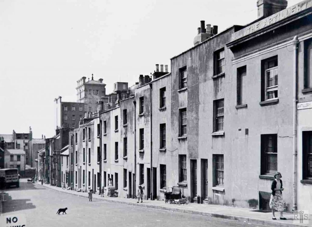
James Gray: [Middle right] This old street took its name from the West Battery which stood roughly on the site of the Grand Hotel, from 1793 until 1858. Built about 1810, it was first known as Suffolk Place and its name was changed in the 1830s. These photographs [jgc_28_161 and 163], taken in June 1955, show the whole of the west side from the Artillery Arms to Cannon Street. jgc_29_161
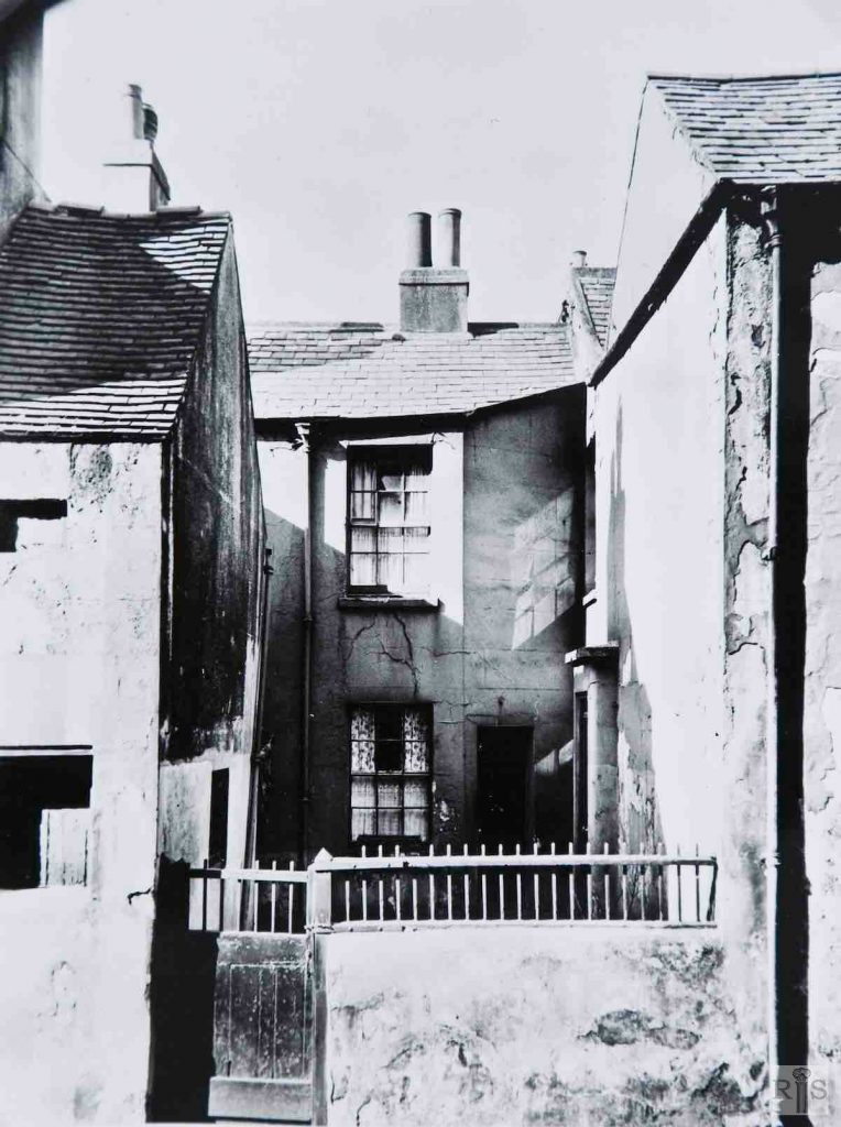
James Gray: [Bottom left] 24, 25 and 26, on the opposite [east] side of the road, the houses were graced with front gardens. Most houses were removed during 1957, under a slum clearance scheme. jgc_29_162
James Gray: [Bottom right] The west side of Artillery Street, with the houses boarded up and awaiting demolition. Taken a year or two after a similar photograph on another page, they were removed in 1958. jgc_29_163
James Gray: 4 Artillery Street, in 1935. There seems to be no reason why this one, alone of all the houses in this street, should have been set back but there are many instances of this to be found in the older parts of Brighton. It faced the rear wall of the brewery and was cleared with the rest of the street, in 1957. jgc_29_125
Text is being prepared or edited for this entry. It will be available soon.
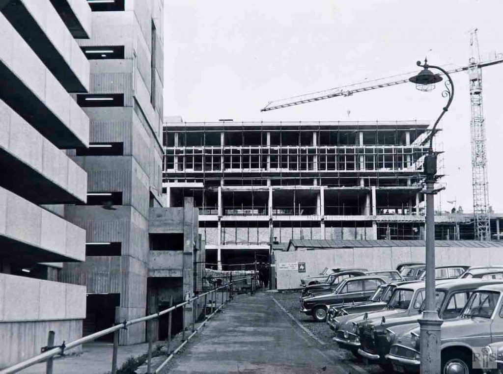
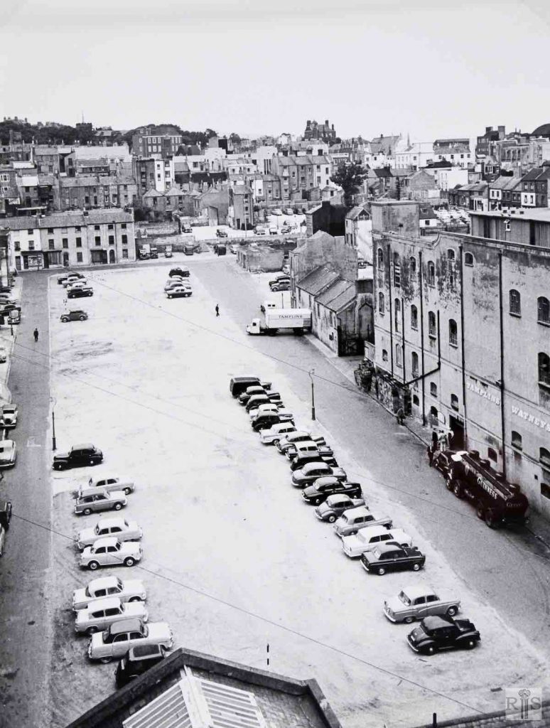
James Gray: Cannon Street car park, in 1966. Since 1958, when its houses were demolished, Cannon Street was used for this purpose while the vast Churchill Square project gathered momentum. Compare this with the 1959 photograph on the previous page [jgc_29_206 below]; the lamppost is in the same position, but the multi-storey car park and the flats are taking shape. jgc_ 29_173
James Gray: The partially cleared area. In 1959 the large area between Cannon Street and Artillery Street was used as a car park. In the distance, houses still standing in Upper Russell Street, Milton Place and Blucher Place. jgc_ 29_206
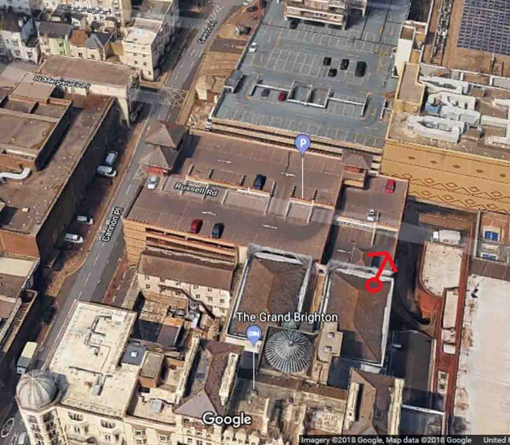
2018: Cannon Street and Artillery Street (both running north-south) were obliterated by the Churchill Square car parks 1 and 2. The photographer of the 1959 image was standing on the roof of the dining room of the Grand Hotel (marked by red circle) looking north. The 2018 image shows the extent to which the area has been completely covered over. (Photographer: Google Images)
Text content
