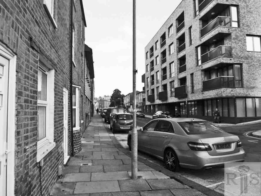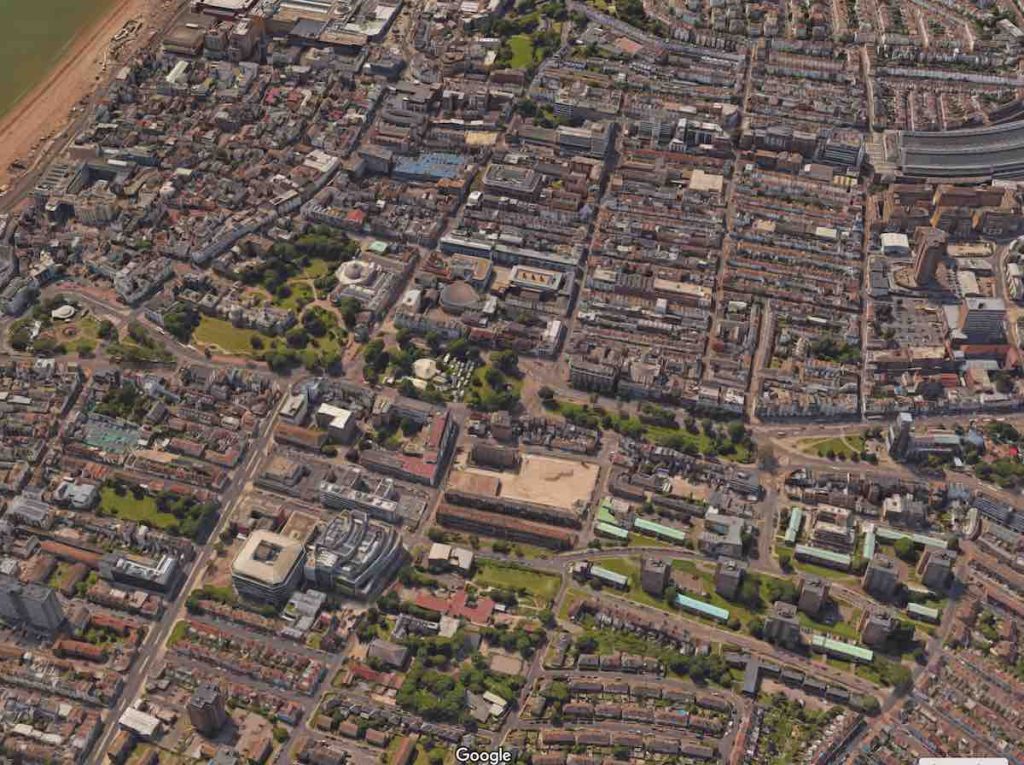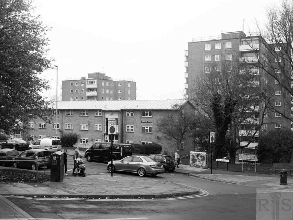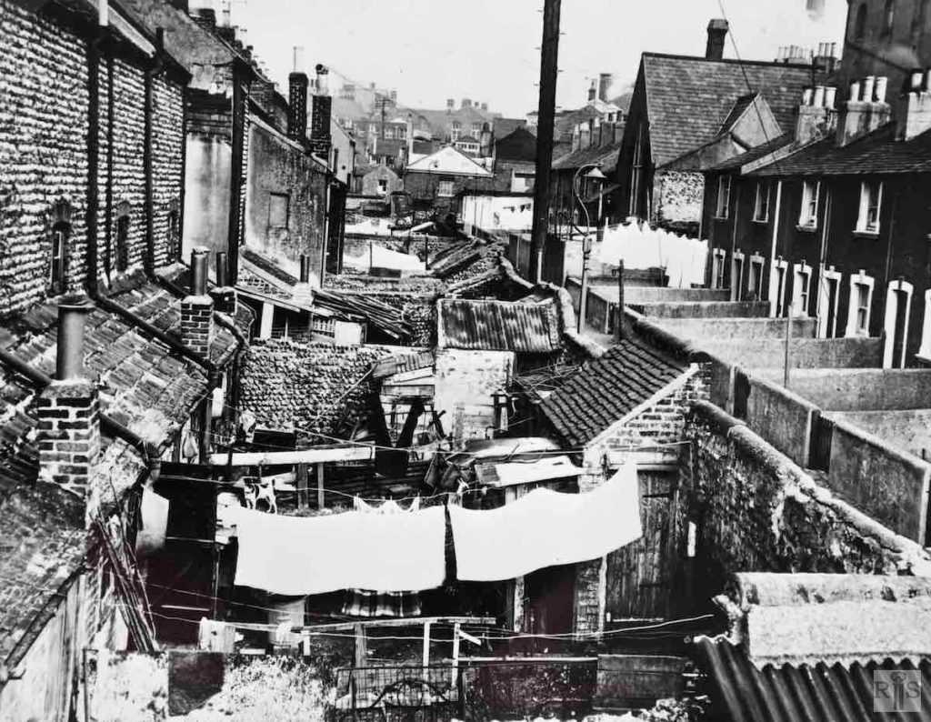
James Gray: The second large slum clearance scheme undertaken by Brighton Corporation since the 1939-1945 War was the Albion Hill clearance. This was a large rectangular area bounded by Albion Street, Albion Hill, Dinapore Street and Richmond Street, within which were a number of narrow mean streets, mostly more than 100 years old and built into the very steep slopes of the hill. On this site are to be built multistorey blocks of council flats. In this photograph the view is south towards Richmond Street. jgc_27_070
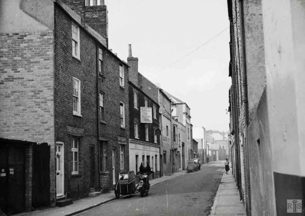
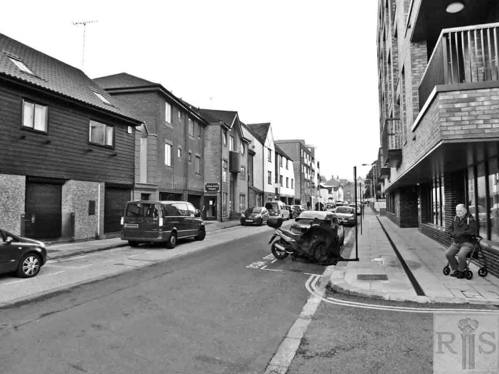
James Gray: These two photographs of Albion Street [jgc_27_070 and 071] were taken on 19 April 1956, soon after the clearance was agreed upon. Things move slowly nowadays with slum clearance and it was not until December, 1958 that the street was cleared. Albion Street, formerly called Richmond Row, was built about 1815, and although a poor street contained some good examples of flint and brick houses. This view looks north from Richmond Street. jgc_27_071 Additional Information: Note the Albion Inn on the left. jgc_27_071
James Gray: View of the clearance area, taken from Richmond Street, in February 1959. On the left, is the entrance to Albion Street, while the large isolated building was originally St Peter’s National School, in later years occupied as a Working Men’s Club. jgc_27_084
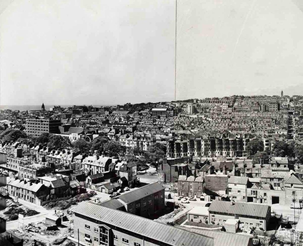
James Gray: The panoramic view shows the old houses of Albion Street and Ivory Place and the full length of Trafalgar Street. jgc_27_093
2018: The original photograph appears to have been taken from the top of one of the recently erected tower blocks. This view is looking across in the same direction – but at ground level is totally obscured by the modern housing. (Photographer: Ron Fitton). Additional image from Google.
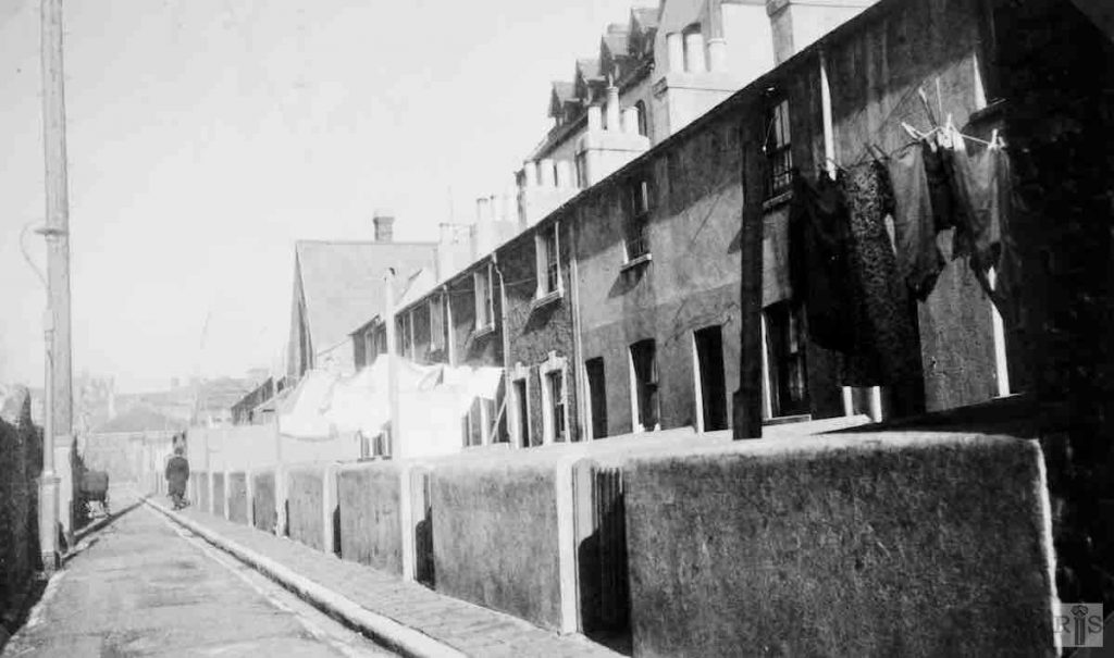
James Gray: View of the congestion between Albion Street, their gardens and the nearby Albion Cottages. In the background, houses in Albion Hill and Richmond Terrace. Photograph taken in 1935. jgc_27_097
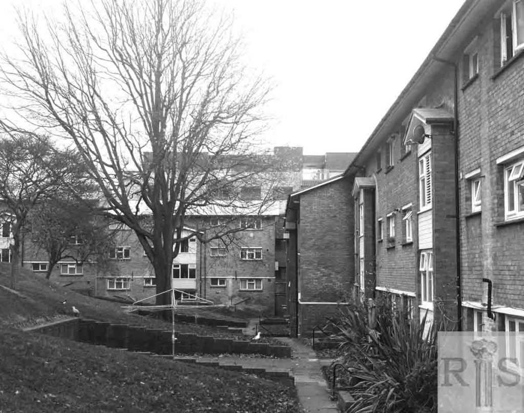
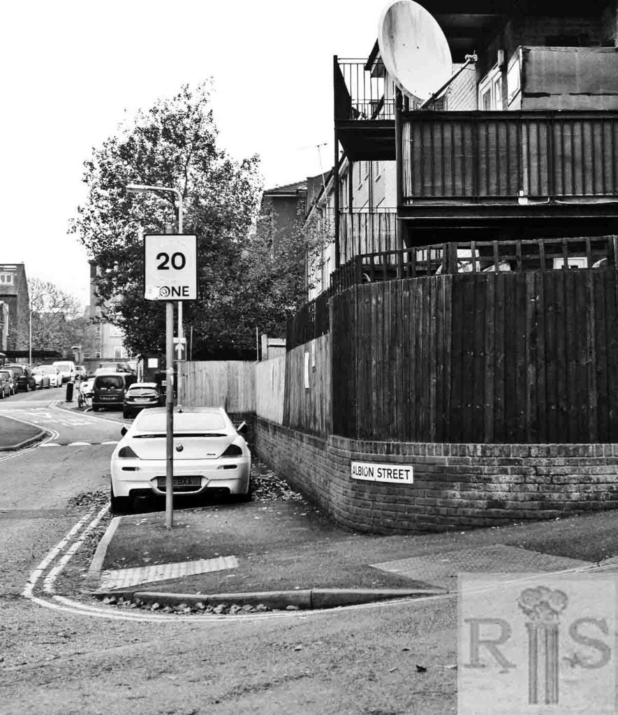
2019: Albion Cottages, along with many of its neighbouring streets, was erased by the slum clearance programme of the 1930s. The backs of these flats stand approximately where Albion Cottages would have been. Albion Street itself survived, albeit substantially altered during the later slum clearances of the 1960s. (Photographer: Ron Fitton)
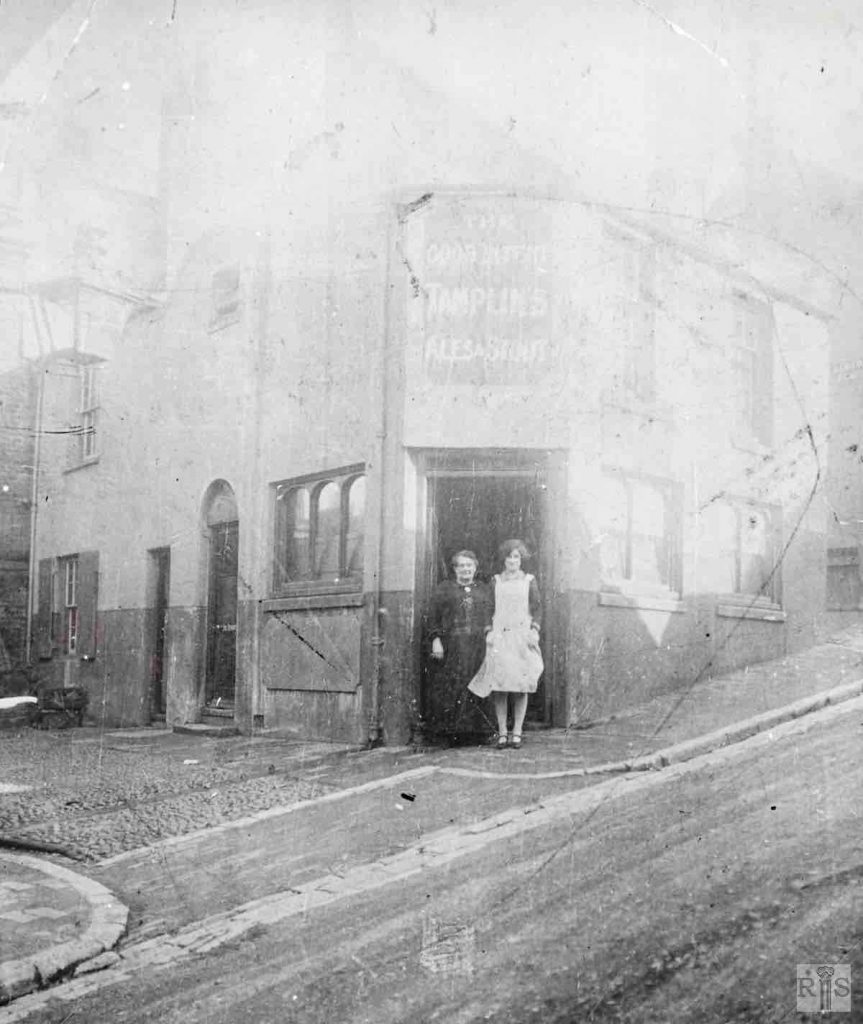
James Gray: The Good Intent public house, at 4 Albion Hill, showing the cobbled entry to the large yard of nearby Tamplins Brewery. The premises were delicensed in 1937. Additional Information: The pub, The Good Intent, was sometimes called 4 Albion Place. The alley at the side was, in fact, Albion Place. Apparently, there were houses, 1-3, in Albion Place (according to the census). The women in the doorway are Harriet Elizabeth Burtenshaw, née Todd, born 5/11/1868, Brighton, and who married Richard Burtenshaw, 12/5/1890, St Peters, Brighton. She is there with her daughter Gladys Kathleen Burtenshaw, known as Kath, born 10/7/1911. The photograph is c1925, as Kathleen looks about 15 years old. jgc_27_100
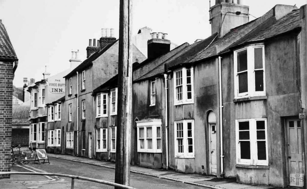
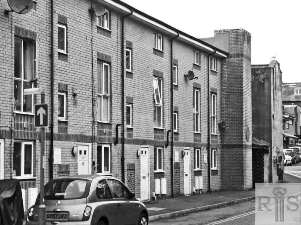
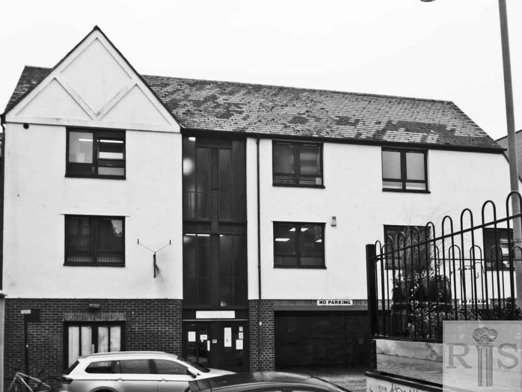
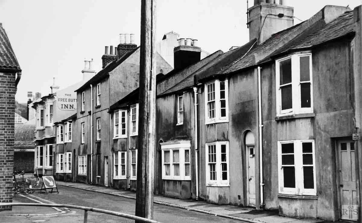
James Gray: When I saw this row of houses, 27-35 Albion Street, with several houses empty, I had them photographed on 11 January 1976, knowing that emptiness often foretells demolition. I was right. Watneys, the Brewers, bought them and after standing derelict for several years, they were removed in 1980, and the cleared site used for storage. They must have been about 130 or 140 years old. jgc_27_111
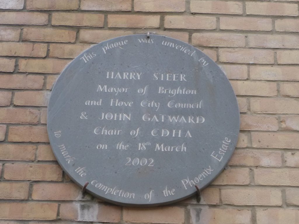
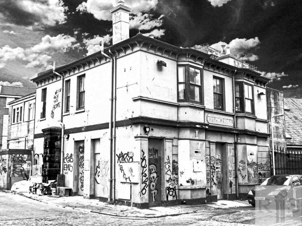
2019: The buildings survived longer that James Gray thought and were eventually redeveloped as part of the Phoenix Estate between 1998 and 2002. A plaque on the wall of the end building commemorates the completion of the development. The building at the end of the row is the Free Butt public house, now sadly in a state of total decay. (Photographer: Ron Fitton)
James Gray: The old Albion Brewery, in Albion Street, photographed on 31 May 1982, only a few months before the building was demolished. It was built on vacant land behind Richmond Place, about 1850, and brewing continued until the 1890s, after which it was used as stores and later as builder’s workshops. jgc_27_112
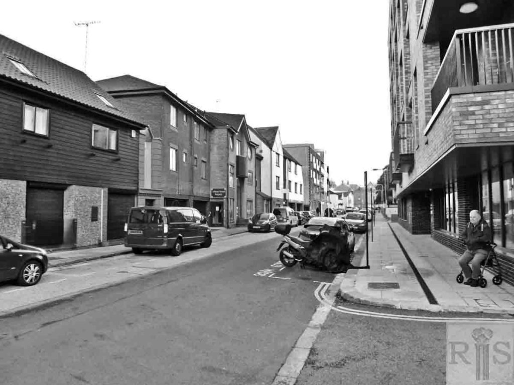
2019: The brewery was located at No 12 Albion Street. The Albion Inn at nos 7-9 (later known as The Stables) was rebuilt as a medical practice.

