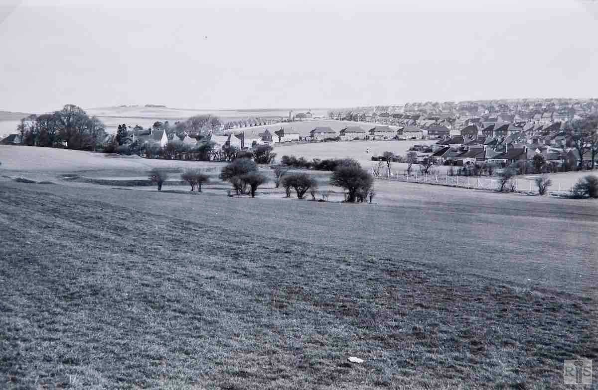
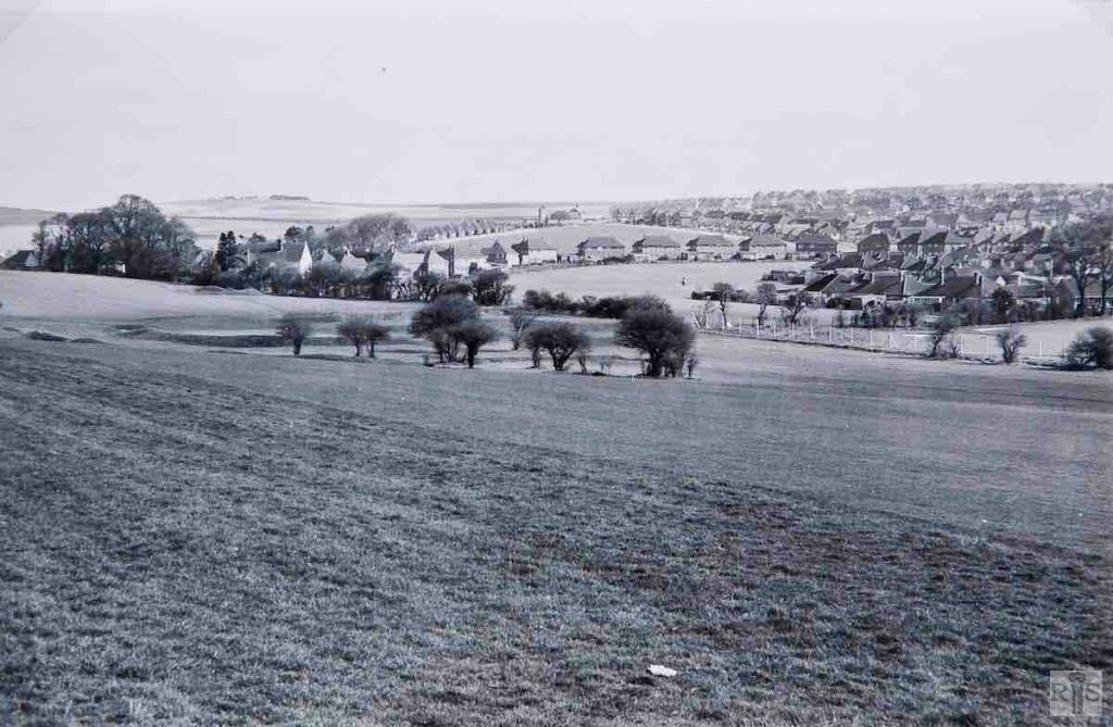
James Gray: The view is northwards across the West Hove Golf Course, to Hangleton Way, and the distant St Helen’s Church, in the spring of 1964. By then, the farm buildings which stood behind the clump of trees had been removed (the barn went in 1962) and replaced by houses. jgc_37_013
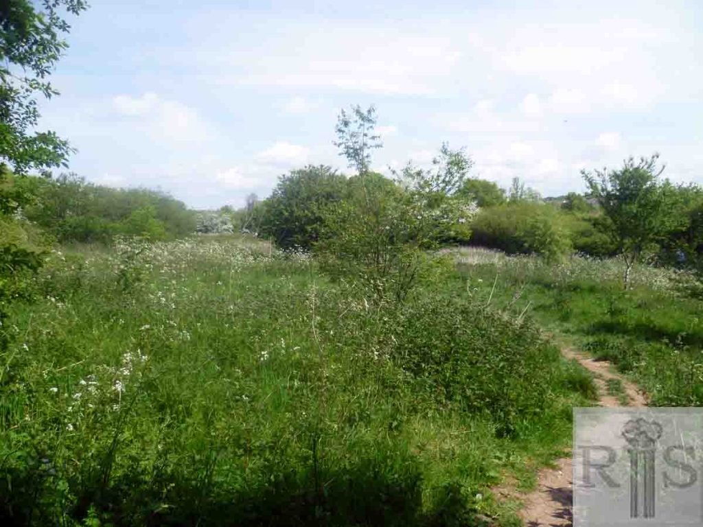
2019: The 2019 photograph was taken from a footpath that runs from the bottom of Hangleton Gardens to Benfield Way. In the foreground, the farmland became the golf course and now has the link road from the bypass to Old Shoreham Road running through it. The area has become overgrown and so the view of St Helen’s Church has been lost. In the 1964 image, the prominent houses running right to left are those of Hangleton Lane at the southern end of St Helen’s Park. The houses of Hangleton Way run obliquely in the distance towards the church. (Photographer: Mark Stephenson)


